Hike to the small church tucked at the foothills of Layla mountain.
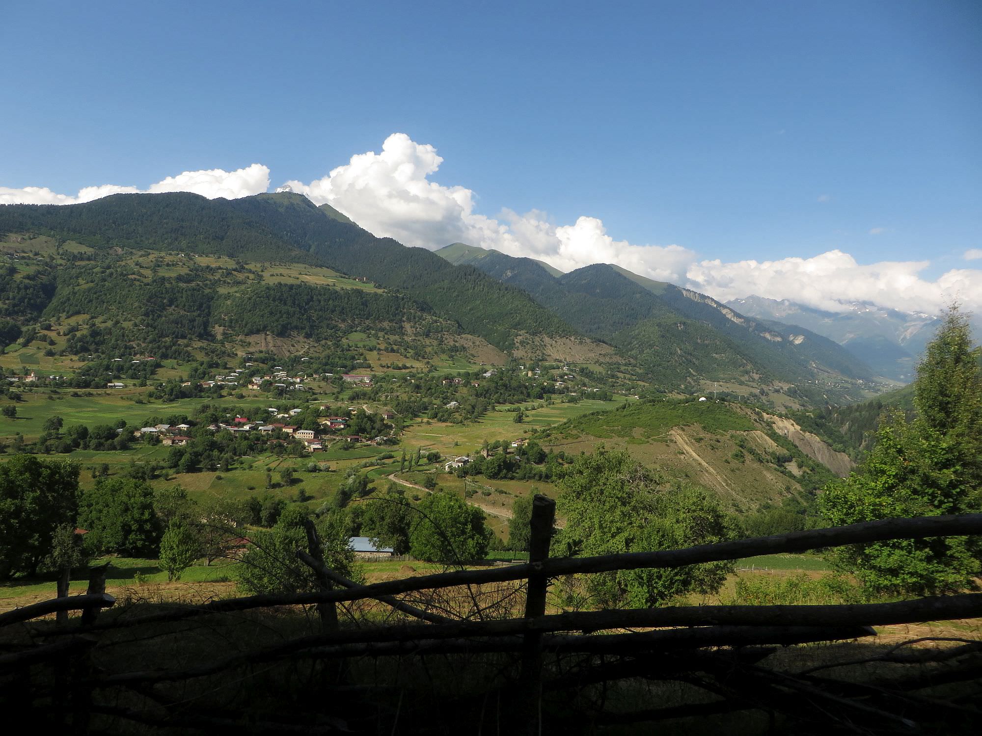
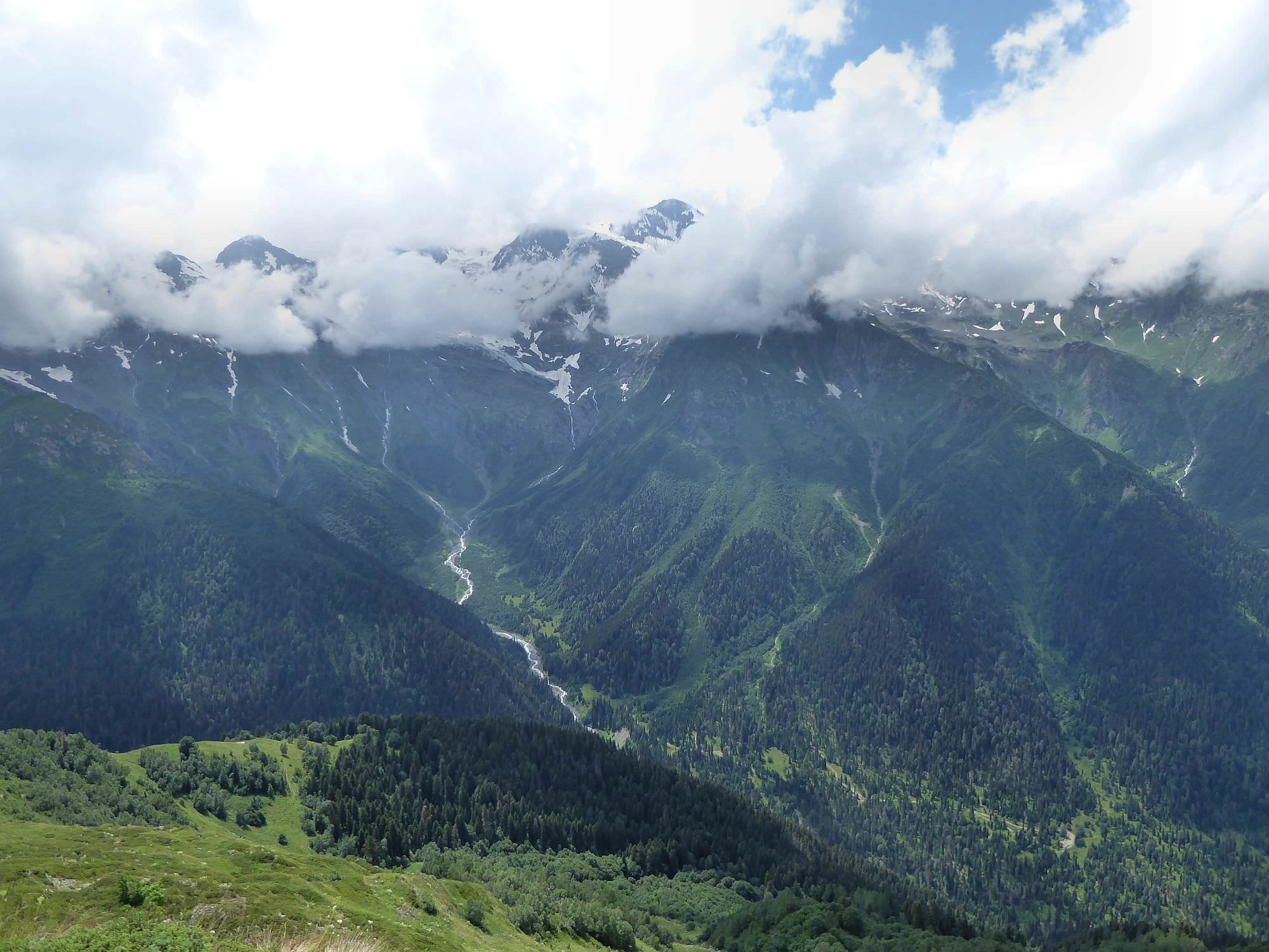
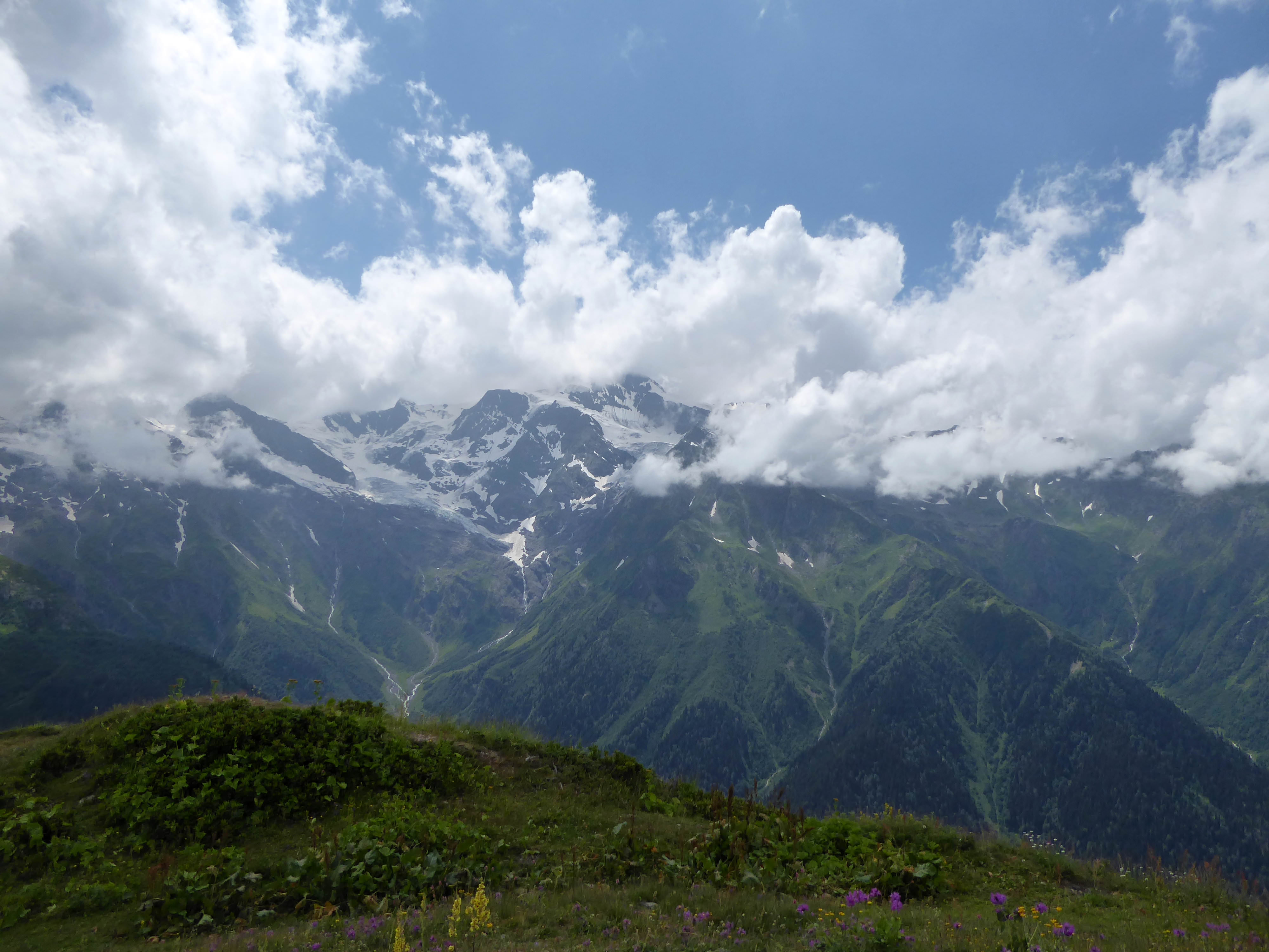
This hike (or pilgrimage?) is often overlooked since it doesn´t start directly in Mestia, yet it´s one of the best day walks in the area. The church itself lies on the Svaneti range, right beneath the Layla mountain and offers great panoramic views of Greater Caucasus.
Expect also a lengthy break at the top, you won´t be willing to leave the place too fast.
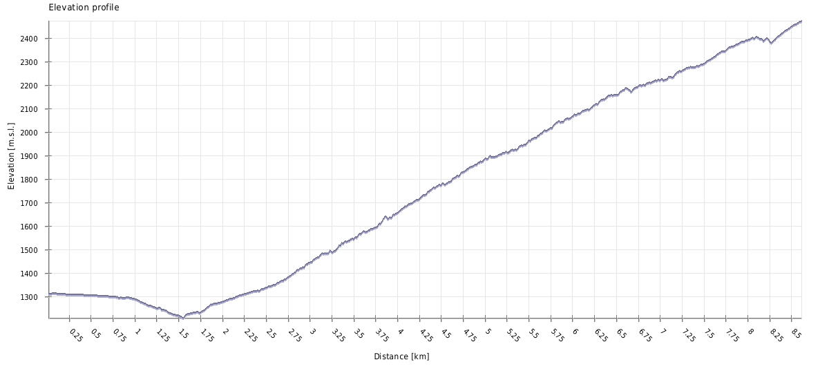
The hike is short but steep. Still, it can be comfortably finished in a day.
Since Latali lies only 10 km from Mestia, probably the most convenient way to get there is by taxi. Expect to pay 20 to 30 GEL. Another option is hitchhiking.
Just one detail for heavy plannerss - you won't find place named Latali on many maps because, just like Ushguli, it doesn't represent a single place but a community of several smaller villages. And for example Google Maps don't display these "community" names. So you need to look for the names of individual villages - Ienashi, Kvanchianari, Lahili and so on.
If you need to get back to Mestia (as does a majority of people doing this trek), I recommend to hitchhike - the road is frequented and you shouldn’t wait too long. Of course, if you are a larger group, it may be more convenient to call a taxi.
There is an annual festival being held at the Mkheri church in late July, on the last Monday before Kvirikoba. However, don´t expect anything wildly exotic - from a foreigner´s perspective, it looks more like a relaxed gathering of families from the valley. People pray, feast, sing and dance, but only when they wish to.
| Distance | 17,2 km |
| Trail type: | Roundtrip |
| Max. elevation: | 2473m |
| Min. elevation: | 1209m |
| Total climb: | 1471m |
| Total descent: | 1471m |
The trail starts at the hiking pointer standing by the main road in the Ienashi village. By this road, we counted at least three different markers showing the trail to the Mkheri church but I think that the approach indicated in the GPS log is the most direct one.
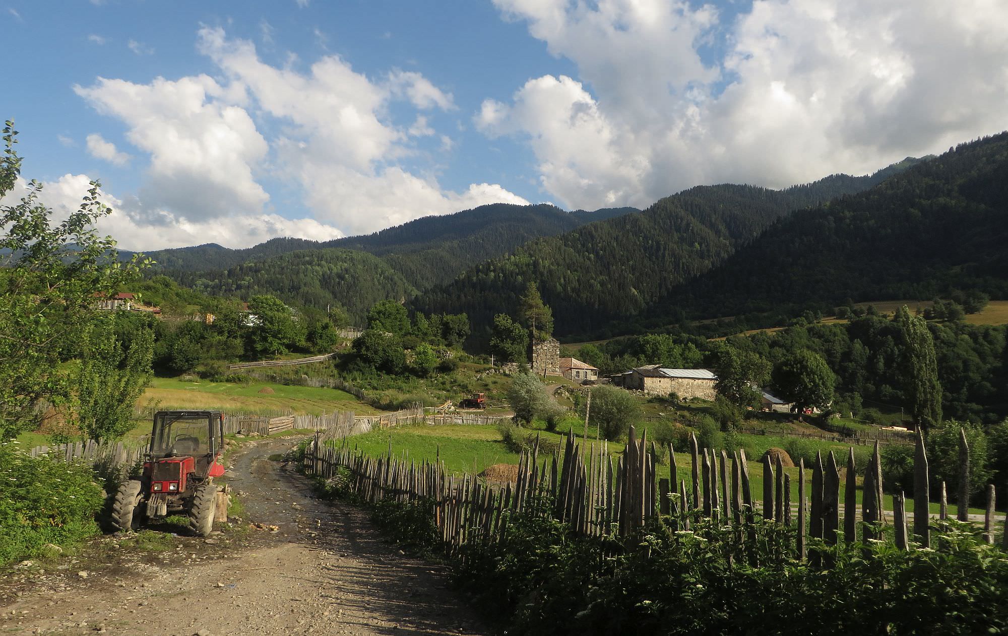
Follow the dirt road to the south. After 400 meters, the road splits. The right branch heads towards the Kvanchianari community to take the left path and circumvent the village from the east. The road then passes one of the numerous churches Latali is famous for
and descends to the bridge over Inguri.
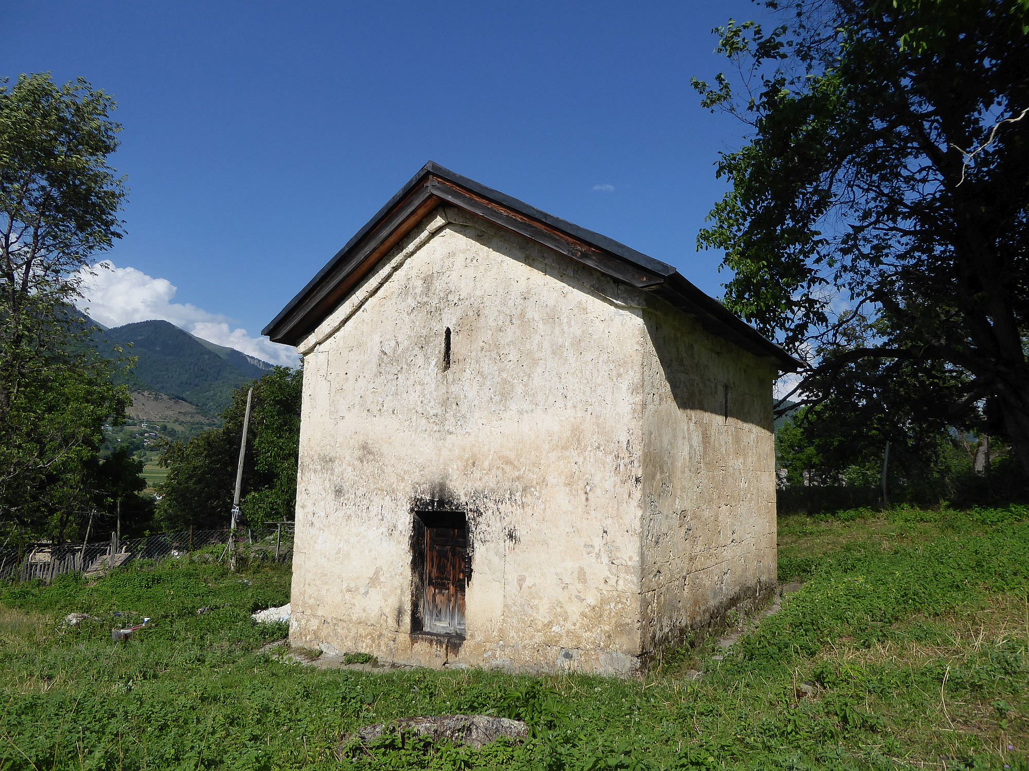
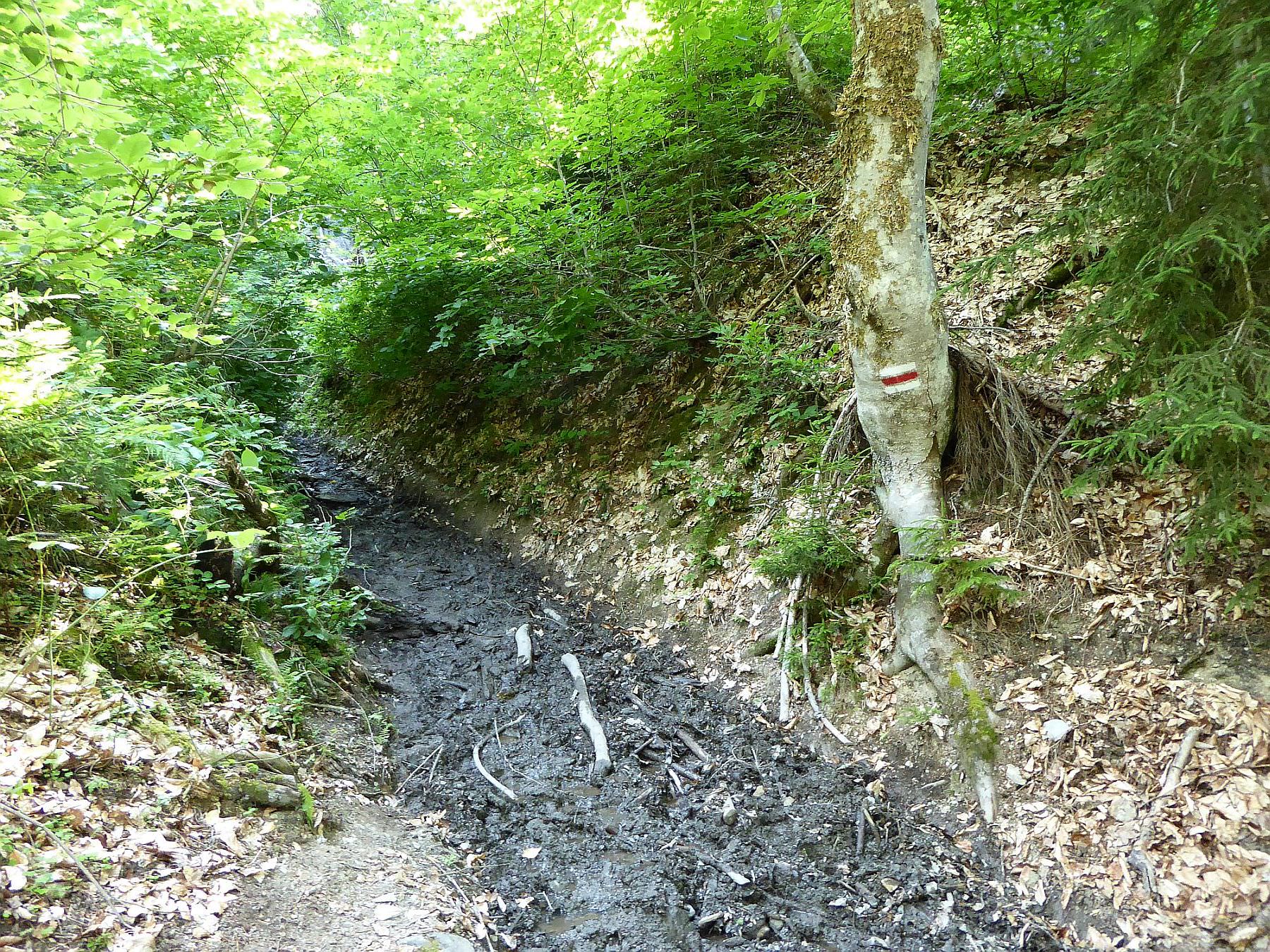
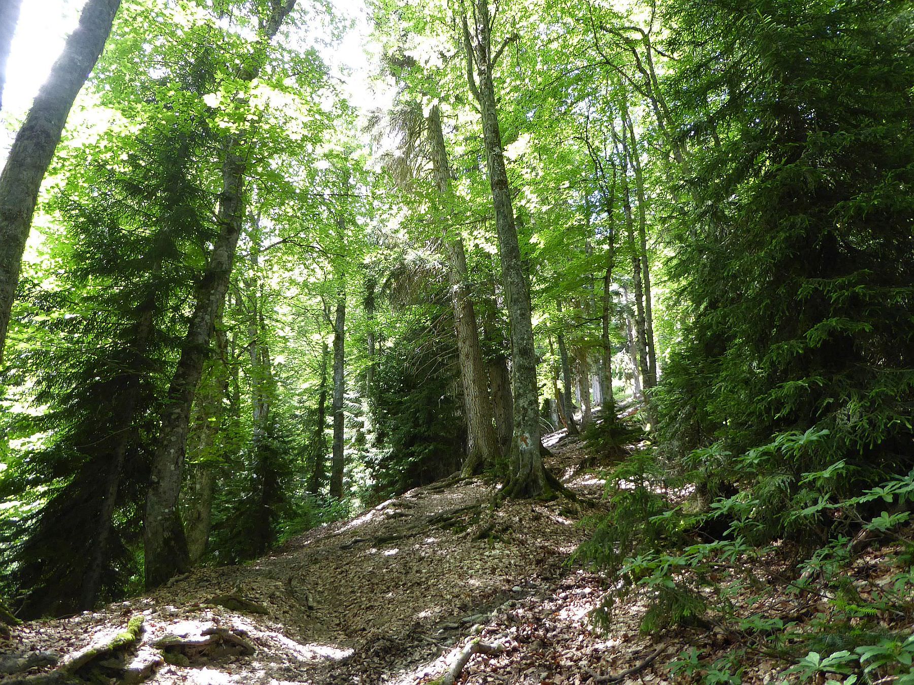
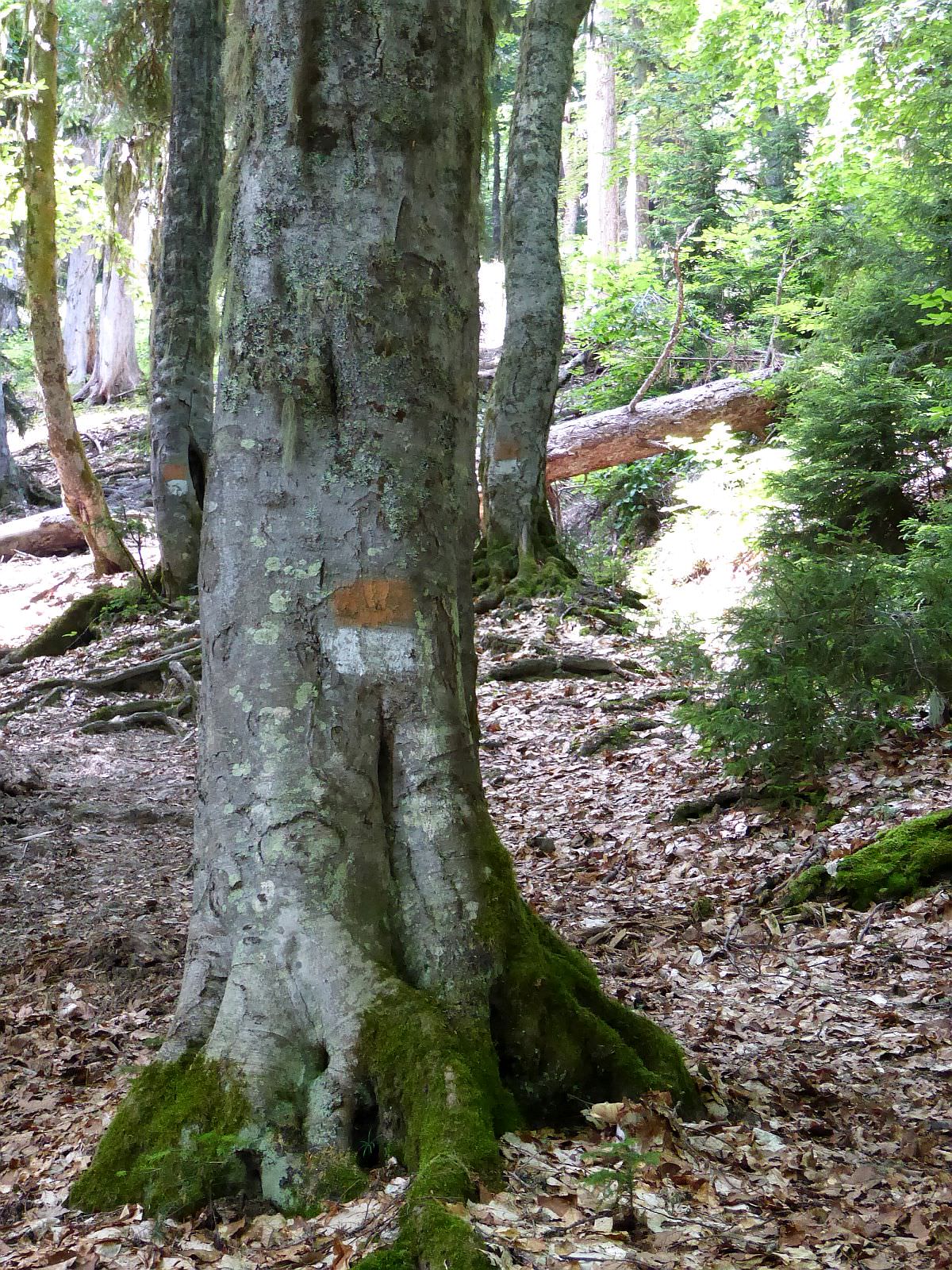
At the other bank, the road climbs in a serpentine towards Lahili community. There is another tourist marker pointing south. Pass through the wooden gate and you will soon reach St. George´s church. Behind it, the trail enters the forest and you will find first write/red markings which will accompany you all the way to the top.
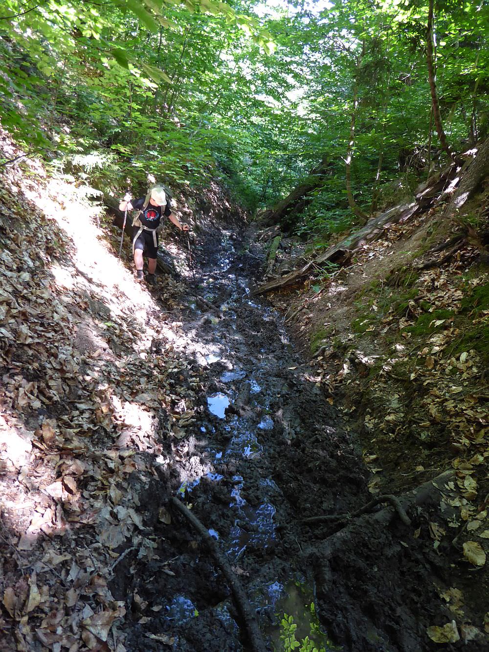
The first section through the forest is decent, but the trail then enters a gully. Here, an unpleasant surprise awaited us - even though the weather in past weeks was sunny, the gully was full of mud (maybe it was just an aftermath of the festival which took place one week earlier). For the next more than 500 meters, we had to stick to the steep sides of the gully and, when necessary, jump from one dry patch of land to the another.
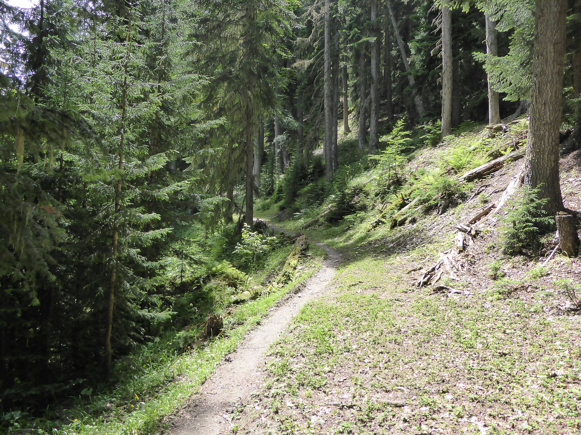
The next section is, compared to the gully, a walk in the park. It keeps going up but the trail is in the good condition and you can finally enjoy a beautiful pine forest around. The route is also thoroughly marked. There were a few places where we were not 100% sure which way to go but no matter which route we took, we ended up on the trail again.
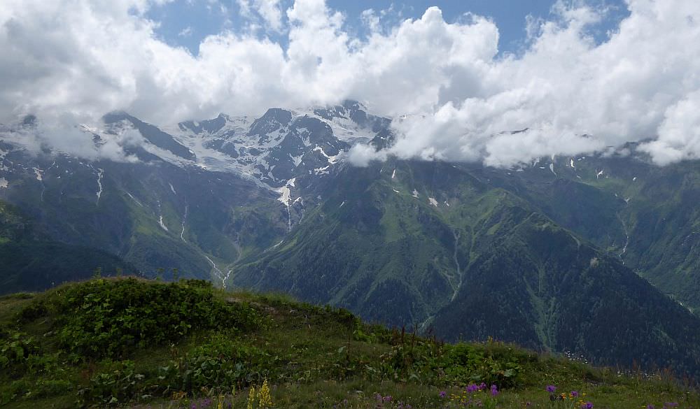
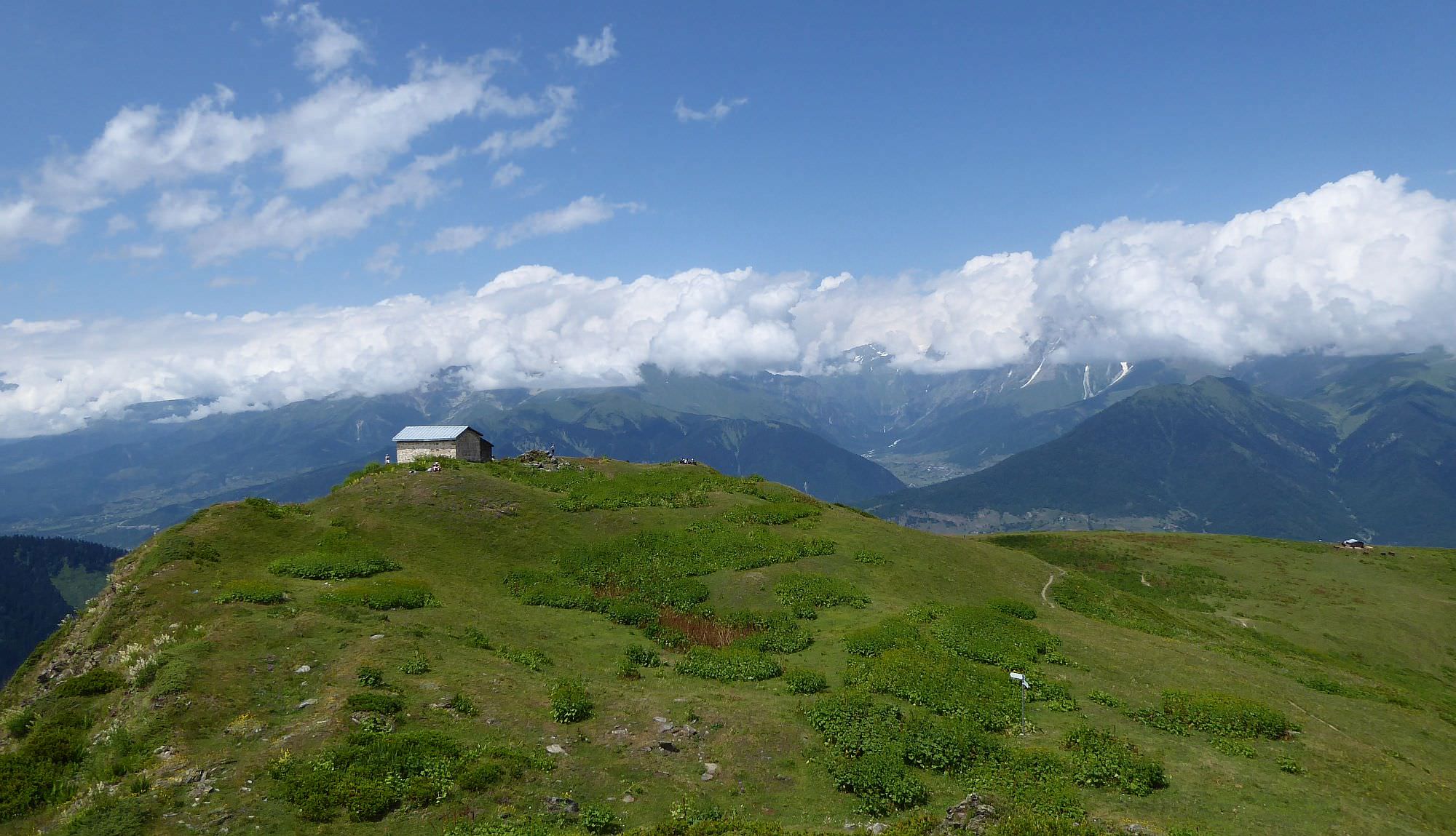
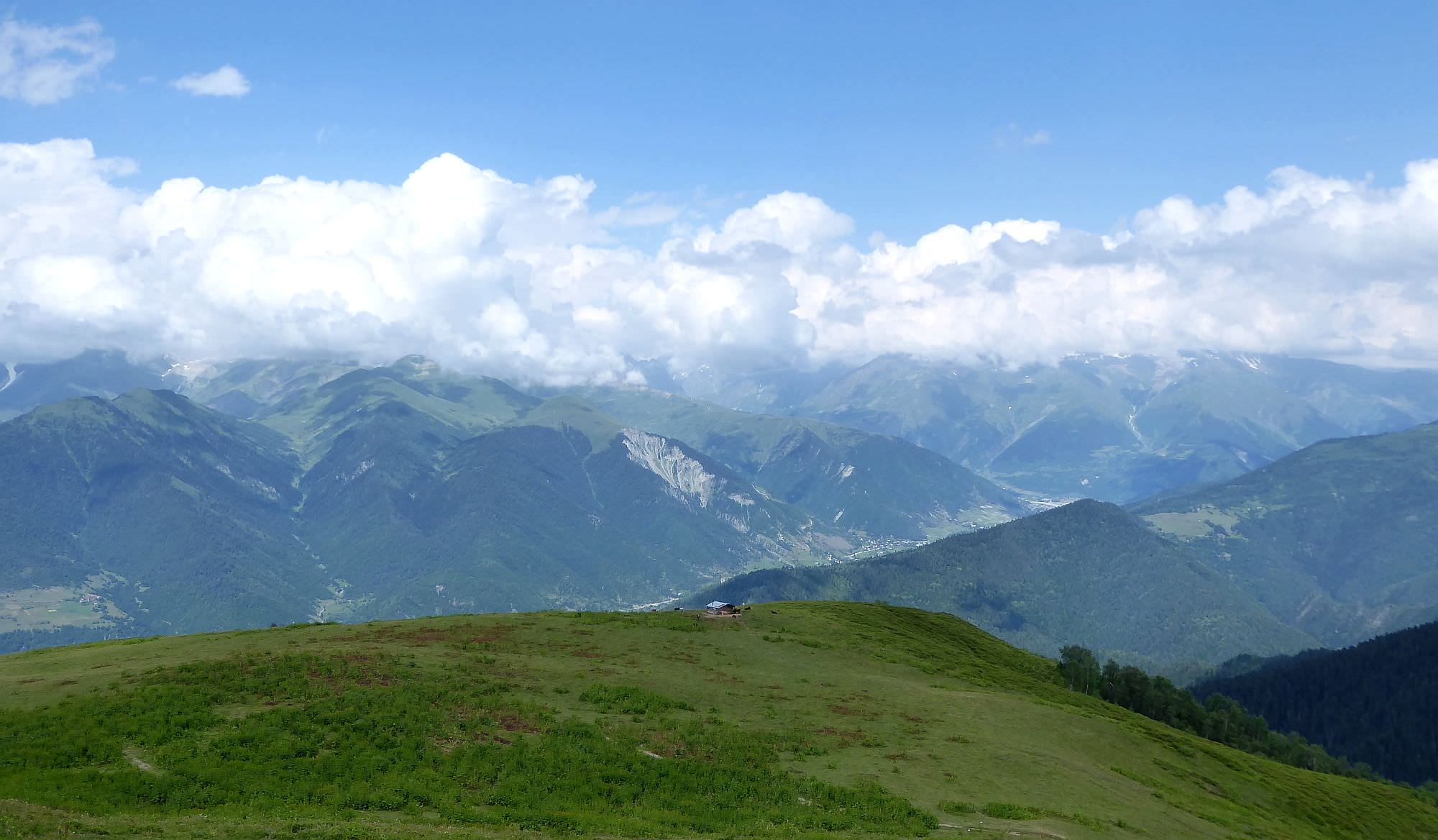
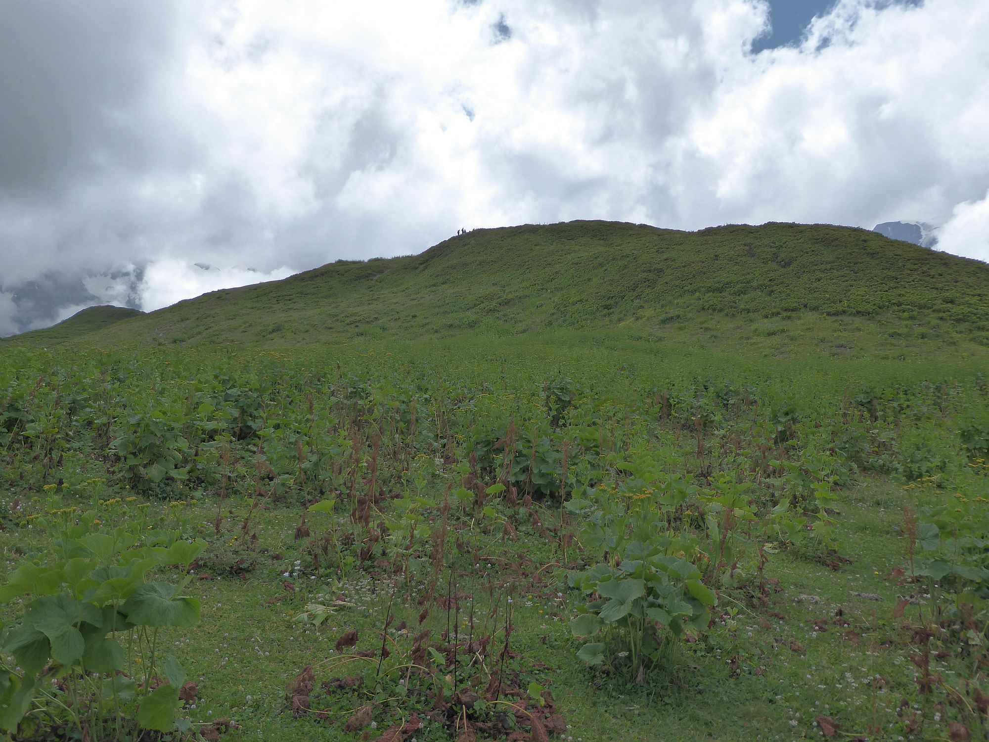
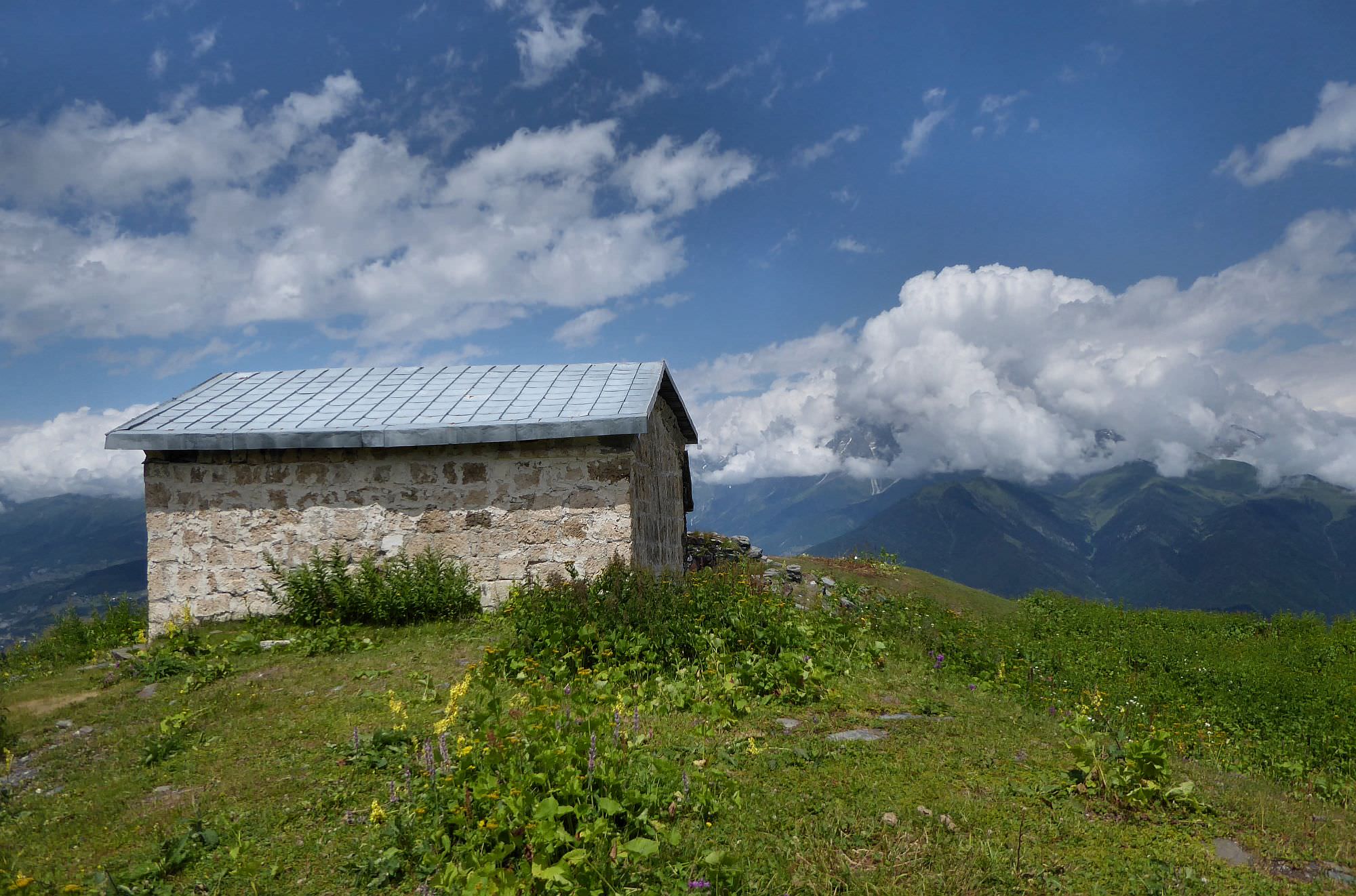
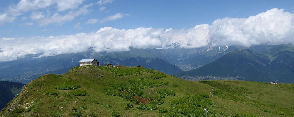
At the elevation of almost 2400m, the trail emerges from the forest. You will find yourself on the alpine pastures - there is a shepherd’s hut on the left but the church is nowhere in sight. It’s hidden a few hundred meters ahead, on the top of the small elevation - there is a path climbing up from its left side.
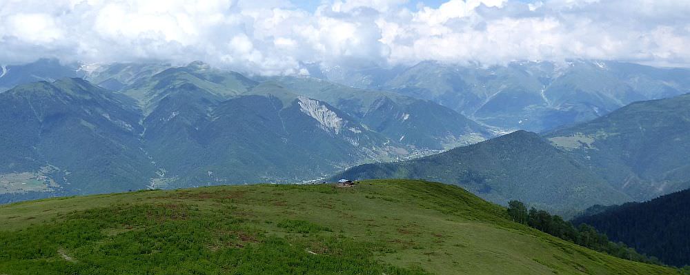
The church is small, but still, it was quite a feat to build it so high - a local legend mentions human chain going all the way to the valley and passing stones. After you visit it, it´s time to relax and enjoy the panoramas - to the south, you can see Layla, the highest peak of Svaneti range towering above you, to the north you have a great view of the mountain wall of Greater Caucasus.
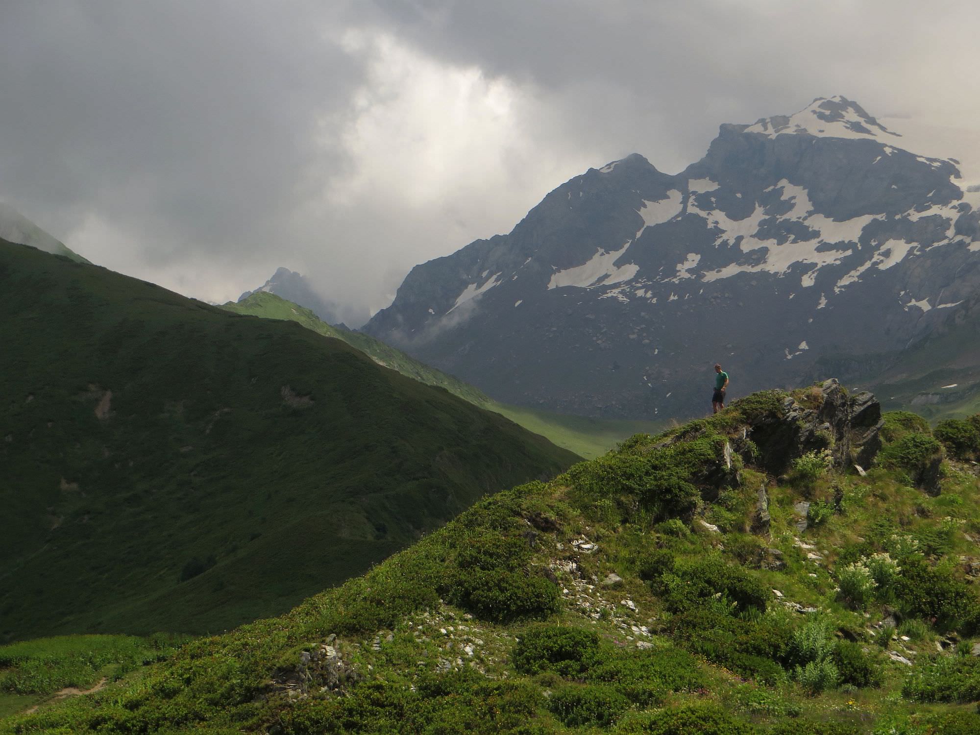
Also, nearby is one tempting tourist marker pointing south over the mountains and supposedly showing a route to Lentekhi. However, this route is not recommended to non-climbing tourists and I seriously doubt that the guy who placed it ever walked it all the way - all passes in that direction require serious mountaineering skills.
Finished the hike and looking for more?
Here you will find all hikes around Mestia