An adventurous route exploring remote gorges of Western Tusheti.
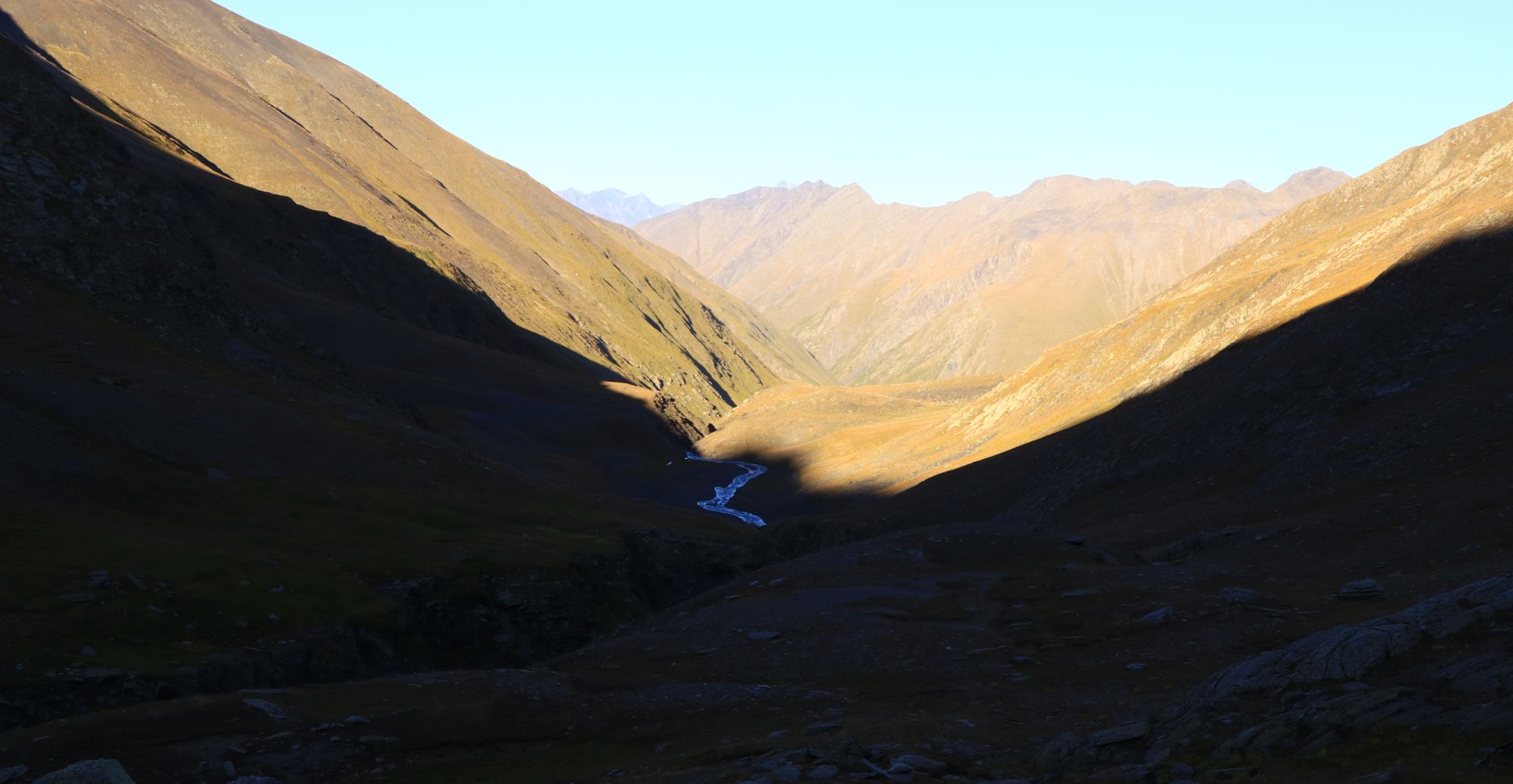
This spectacular, yet almost unknown route explores some of the remotest valleys in Tusheti. Larovani is one of the longest Tush rivers, merging above Girevi with Kvakhidi into Pirikiti Alazani. Despite that, its valley is uninhabited and apart from a handful of adventurers and occasional shepherd, no one ventures here all year long. Tsovata valley is a bit more renowned and while it's not on the radar of casual visitors, from time to time, tourists drive here to take a glance at ruined villages, towers and sepulchers.
It should be noted that this route doesn't work as a standalone trek, because its starting point is not accesible by car. It is rather an alternative to the Tushetis Alazani valley route, suitable for trekkers coming from Pankisi or Borbalo pass who look for some additional challenge and better views. But, of course, it could serve also as a part of the loop starting from Jvarboseli and covering the valleys of Tushetis Alazani, Larovani and Tsovata.
Under normal circumstances, you will need about 1,5 day to cover the distance from the shelter to Jvarboseli (so for example, you can start at Borbalo campsite, walk to the shelter in half a day and then continue and camp at Larovani). And in case you take it slowly and sleep both at the Larovani valley and Indurta in Tsovata, two and half days are needed.
However, keep in mind that this is not a standalone trek and few more days will be needed to make it to the starting point and back.
Moderate difficulty when split into two days. The first part (from shelter to Larovani campsite) is way easier cause it follows a quite decent trail with only a gradual altitude gain. The second section is a quite short (in terms of distance) off-trail climb to the pass and descending into a valley on a rugged, grassy slope.
As everywhere in Tusheti, from July to September or the first half of October. I prefer for calm and golden September.
It doesn’t really matter in terms of elevation change since starting and ending points are almost at the same level, however, climbing from the Tsovata side will give you more hassle since there is no trail to follow. Hence, the direction Alaznistavi-Tsovata is a better option. But, since this is not a stand-alone trek, more than anything, the direction you take will depend on your remaining plans.
Water is accessible almost all the time within the first section. Just keep watching the stream you follow until it is visible before reaching the Nartsapi pass. The second part, particularly the slopes of Samvroni pass are poorer. Take two liters with you, that should be enough. Additionally, don’t forget the water filter!
As for the accommodation, it's easy - you will have to camp.
Alazanistavi shelter has to be reached by foot. You can get there either by Sakorno pass (from the Pankisi side) or by Borbalo pass (Khevsureti side). If you are coming from Borbalo campsite it’s pretty possible to go further and make it into Larovani valley that day(as we did). Thus, the half day being not wasted.
And, of course, shelter can be reached also from Tusheti if you follow the trail along the Tushetis Alazani river. It takes one very long day to walk from the last inhabited village in the valley to the shelter. In this case, it is therefore better not to try to reach a shelter, but sleep at Alazanistavi cheese farm (which is in an ideal distance for a day) and on the next day walk a few more hours to the shelter and gradually continue to the Larovani valley.
If you reached Jvarboseli, there is a decent chance you plan to continue on foot. There are several options. You can start trekking towards Verkhovani and Nakle-Kholi pass, from where you can either descend to Parsma to see more Tush villages or traverse the Pirikita range to see more of a nature. You can also follow the road back to Omalo which takes one a day - not the most exciting hike since it's on a dirt road but views are great, nevertheless. Or you can take a direction towards Gogrulta village and reach Omalo by southern, less touristy trails.
And, of course, you should be able to hire also jeep back to Omalo - the cost of such ride should be about 200 GEL
A nameless gorge, subsidiary of Larovanistskali
| Distance | 31.7 km |
| Trail type: | AB trip |
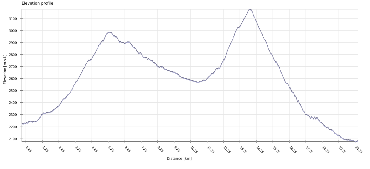
| Max. elevation: | 3176m |
| Min. elevation: | 1848m |
| Total climb: | 2090m |
| Total descent: | 2336m |
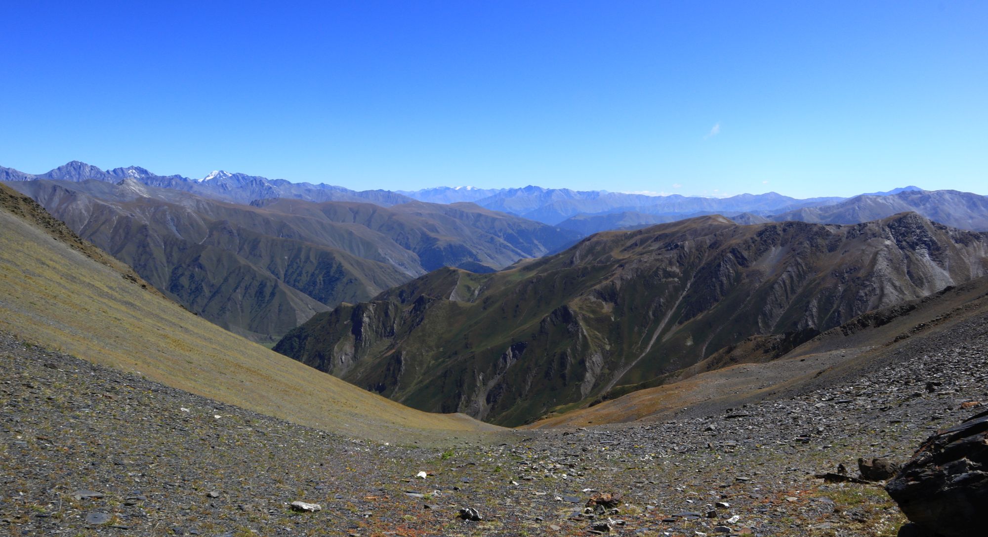
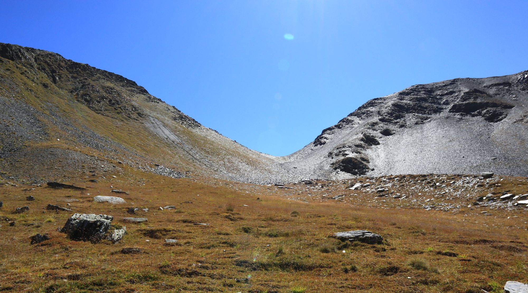
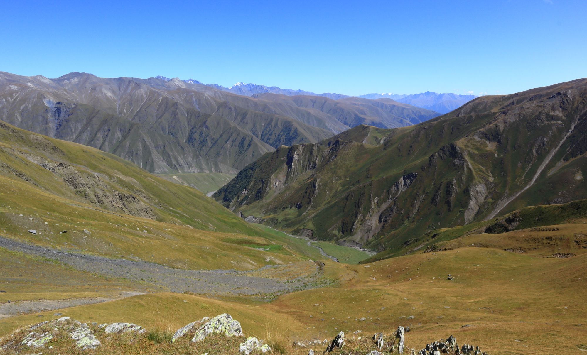
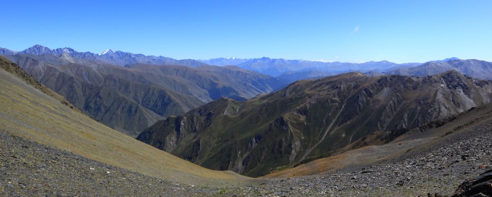
The route starts at the Alaznistavi tourist shelter. Walk some 2 km along the river, bypass the shepherd's hut and turn right (northwards) into the wider gorge of Samruli creek. Follow the trail on the west side of the stream before you cross it at 2700m. Initially, a small section of grassy foothills might be slightly overgrown or fainted if no one has passed it before that season. However, the direction is evident and visibility clear, there are no switchbacks and the slope is not too steep. Nartsapi pass (2981m) can be seen all the time ahead.
Once you make it to the top, the trail turns down eastwards, passes by a canyon (be careful, don’t approach the edge) and crosses the river at the shallower place. From here, follow the northern bank of the river for no more than three kilometers till you reach a flat spot that can serve as a campsite. There is also a small creek nearby where you can collect water.
If you followed the river for another 500 meters, you would reach a wide meadow perfect for camping, but this one might be occupied by a flock of sheep. There is also a shepherd's hut nearby.
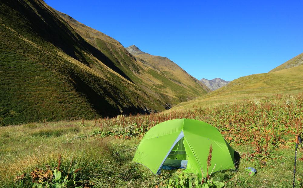
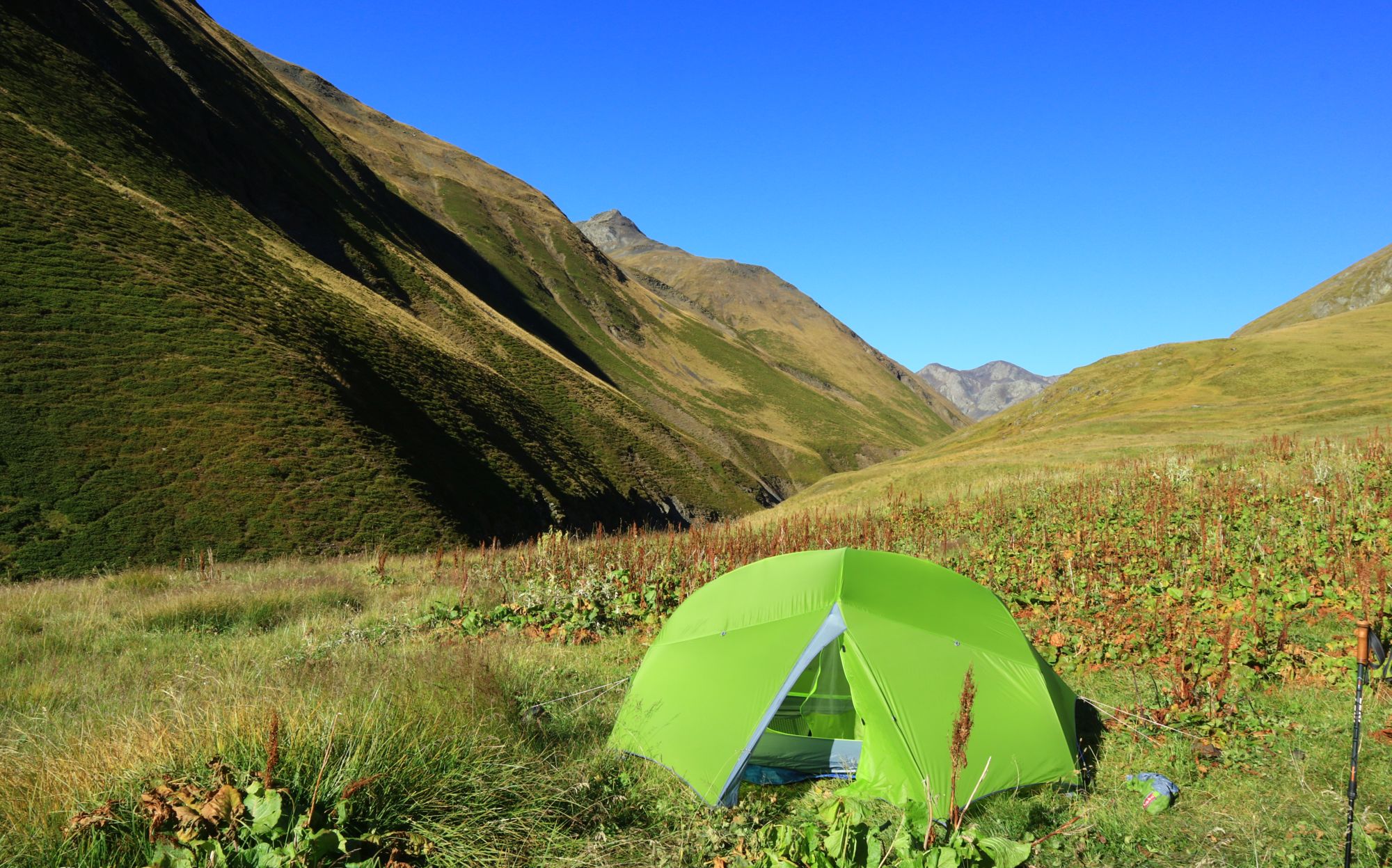
Camping in the Larovani valley
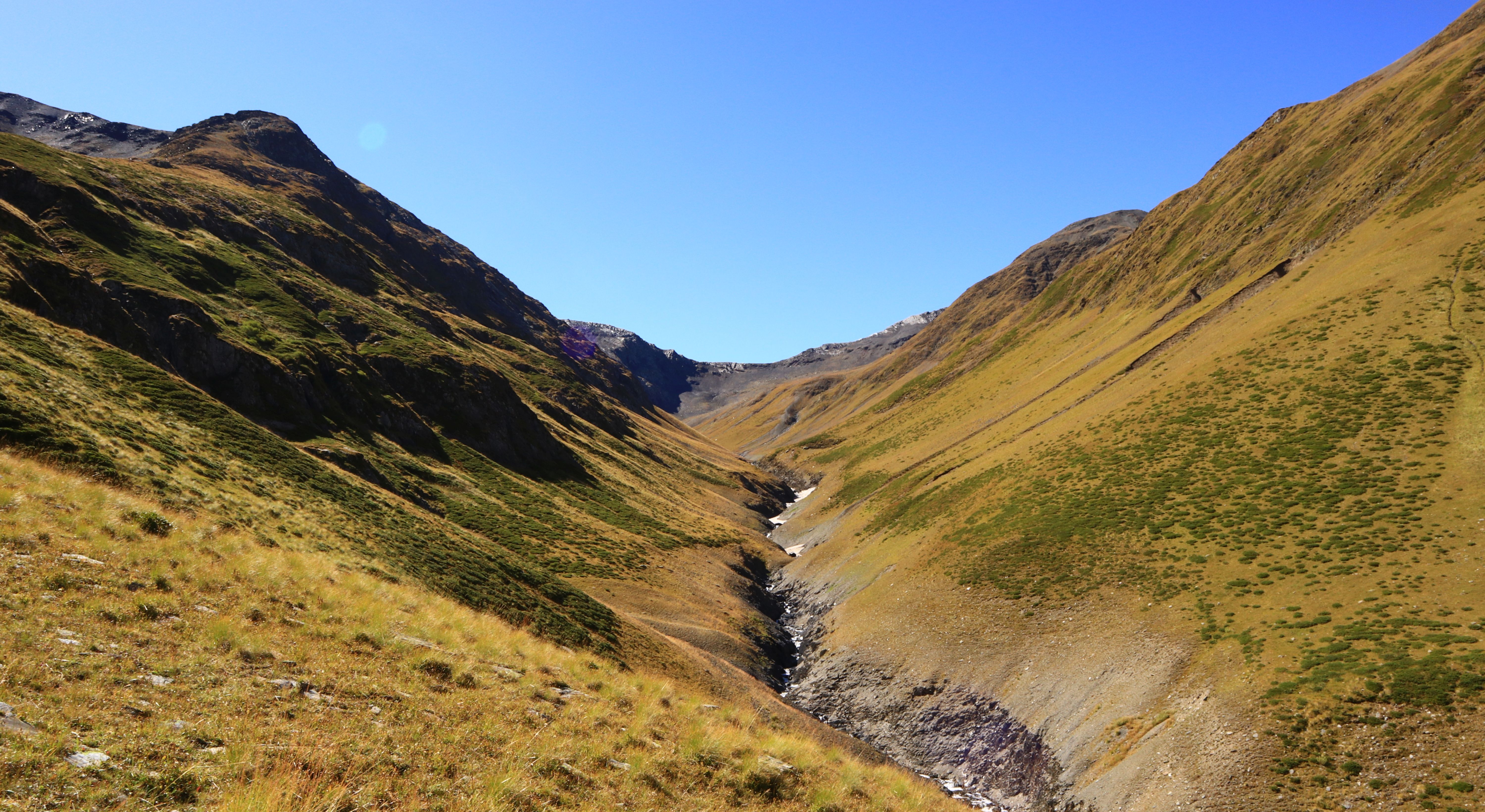
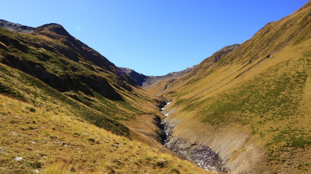
Pack your stuff and follow the river to the meadow mentioned above. Here, cross to the right bank of Larovani river and head into a nameless gorge to the south, following a small creek.
Follow the creek for almost a kilometer, while staying on its eastern bank. Then, once the terrain above you becomes less steep, start climbing diagonally, in the southeastern direction.
The pass lies some 400 altitude meters above you, the last 150 meters you’ll walk through a loose shale field. There are even writings on some of them (we found one dated back to 1931 with amazing calligraphy, considering it was carved out on a rock by a shepherd or hunter).
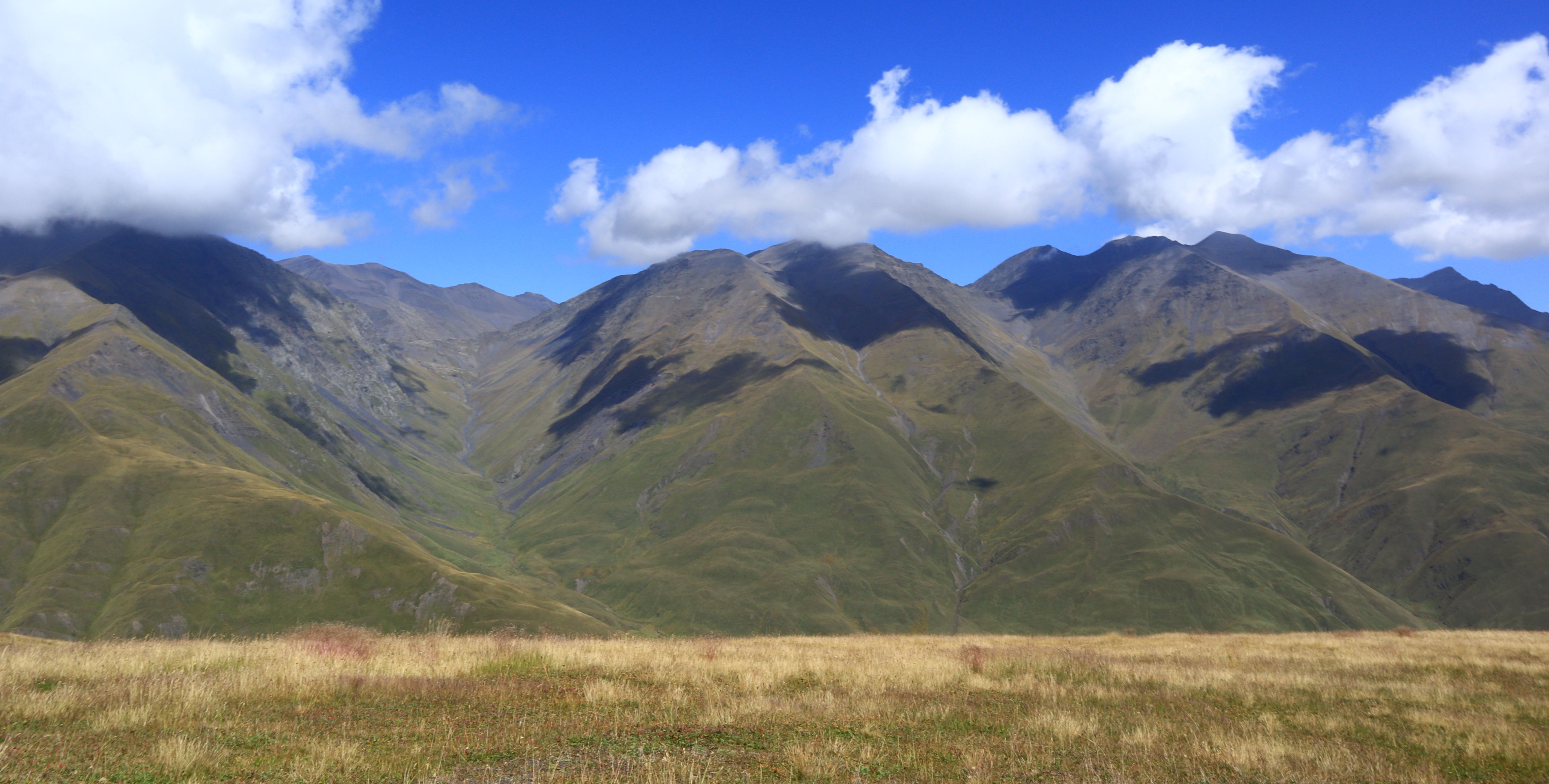
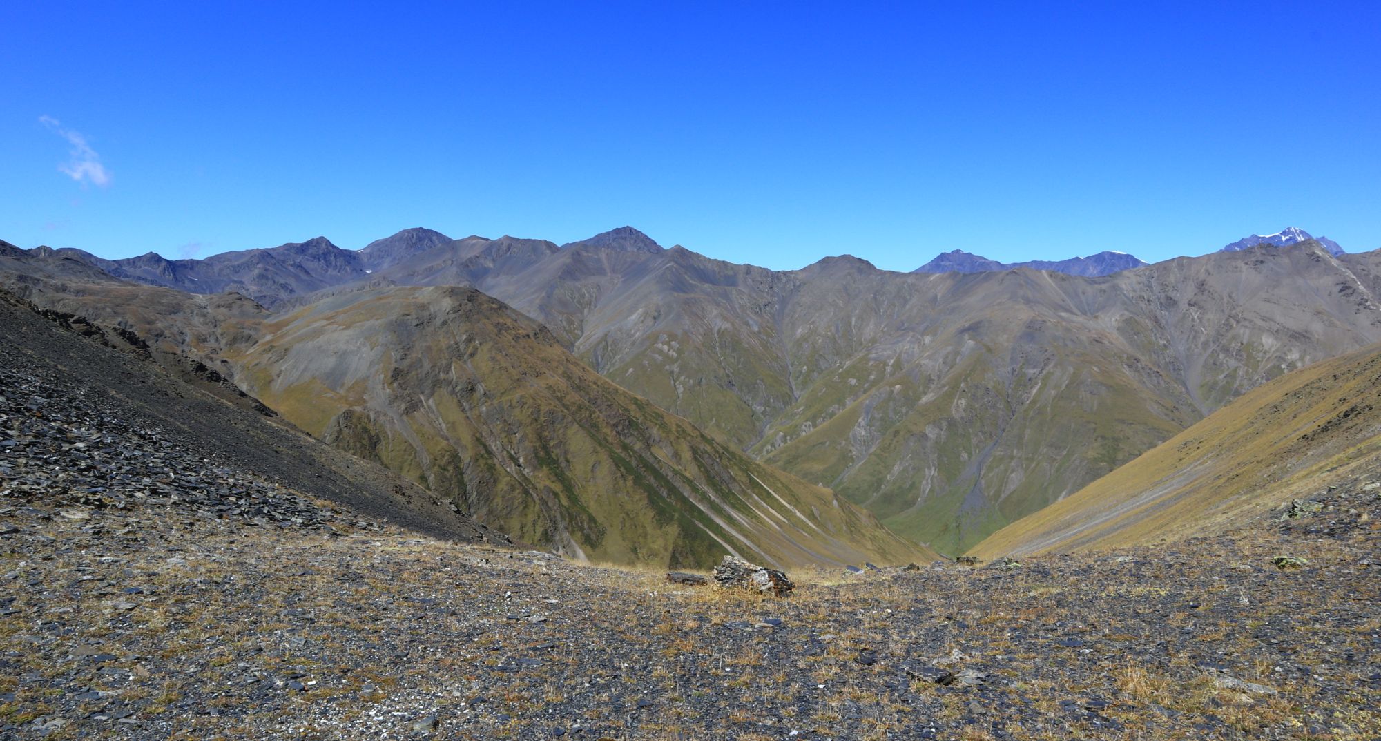
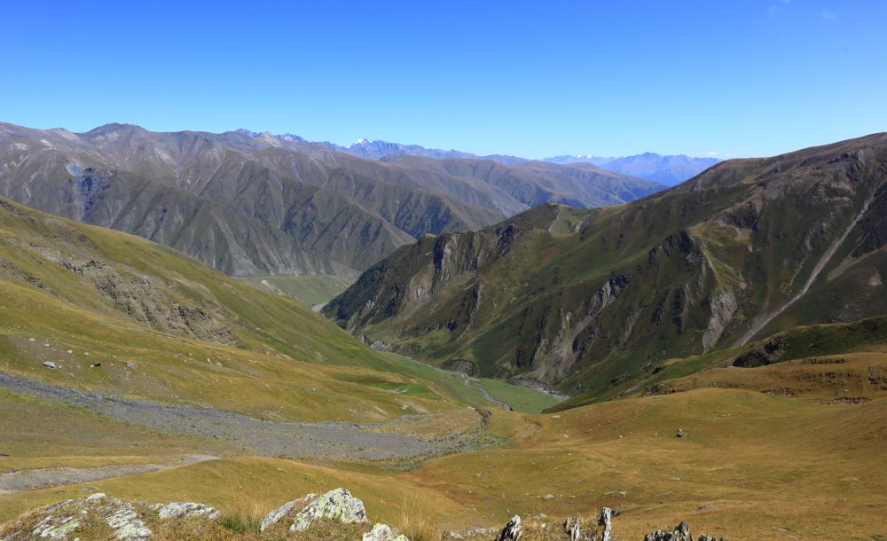
Once you make it to the top of Samvroni pass (3168m), you will be welcomed by scenic views of Tsovata valley as well as of Makratela and Pirikita ranges. Take a deserved break and start descending slowly in the eastern direction. There is no evident trail, but the orientation is really easy since you see villages below - just go down "as the mountain lets you". Eventually, a creek on the slope should appear on the right side.
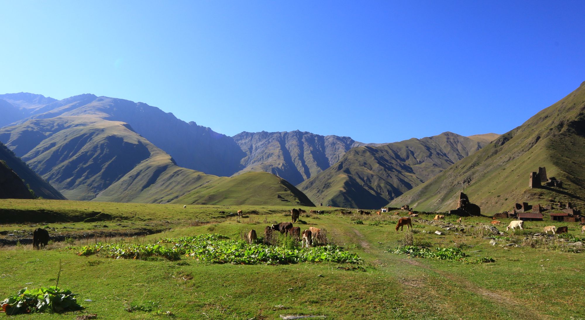
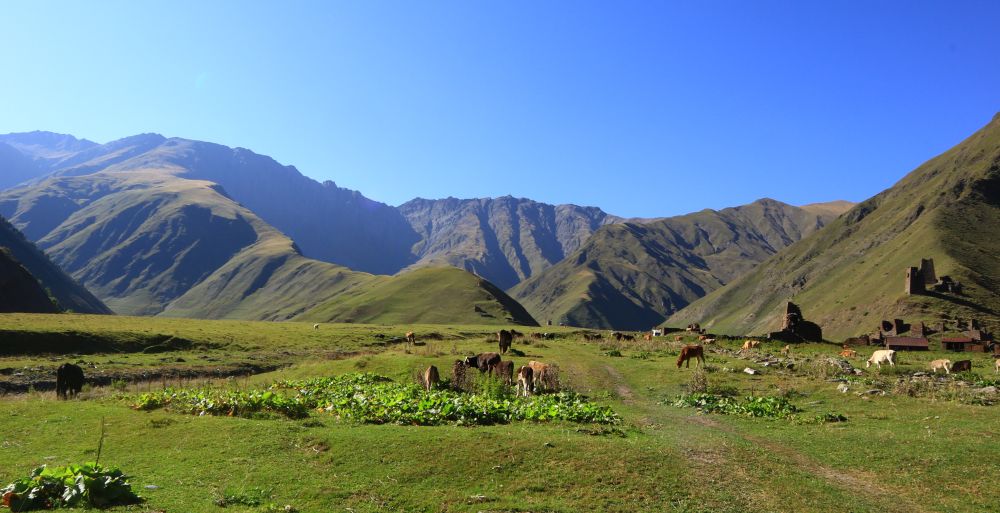
After a tiresome descent (almost 1000m!), you shall make it to the bottom of the valley and can head straight to the villages of Etelta and Indurta. However, keep in mind that these are nowadays inhabited only by shepherds with some pretty sharp dogs, so approach carefully. Also, since almost no one lives in the village, you will have to camp, ideally based on recommendations from shepherds. Or, if you have good time, you can complate the Day 3 section, it's just a few hours.
Descending into Tsovata
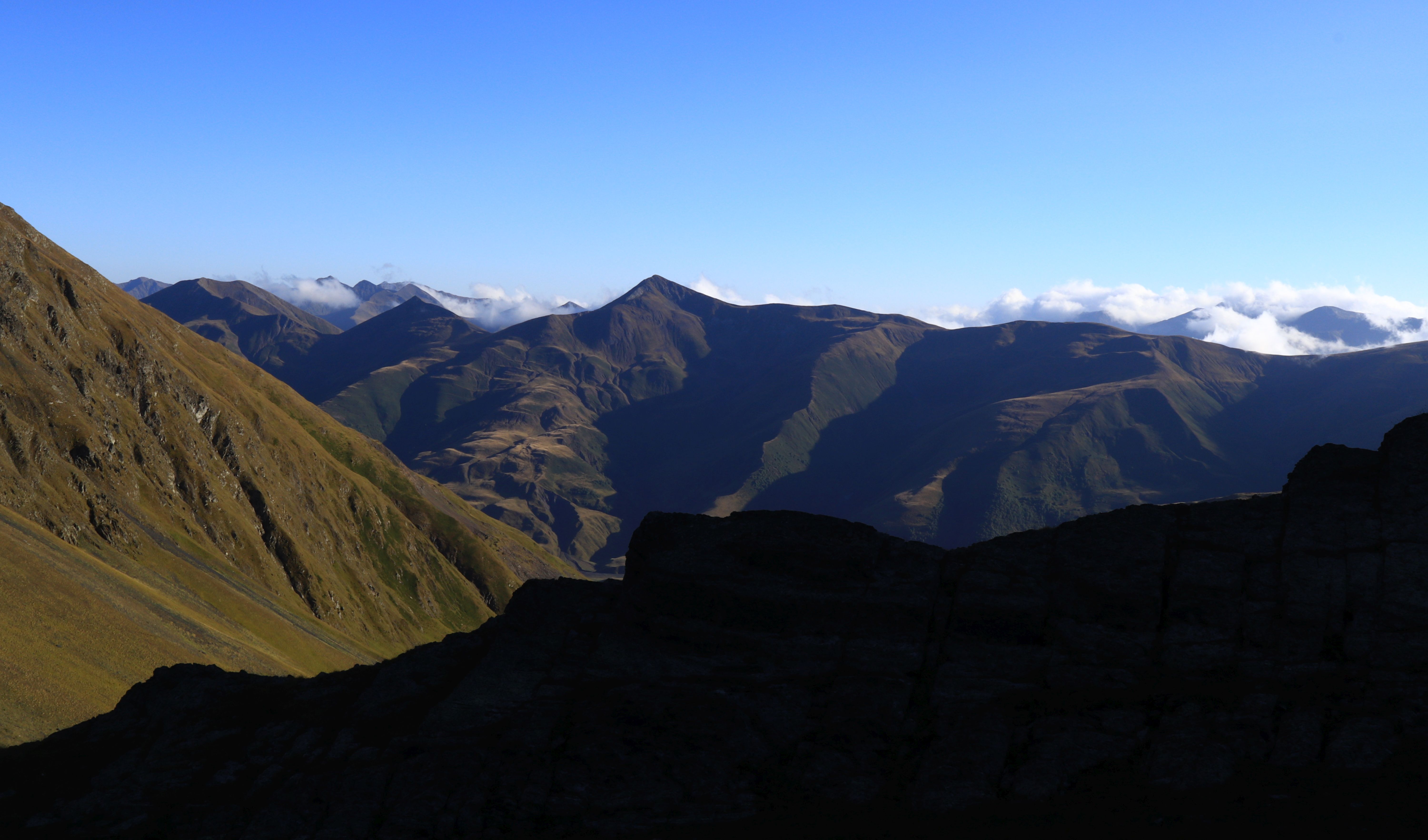
This section is pretty straightforward and takes only a few hours to finish - you just need to follow a dirt road for about 10 km to the nearest village, Jvarboseli (Verkhovani, while closer, is out of reach since it lies at the other river bank and the collapsed bridge was not yet repaired in 2023).
There is only one tricky part - the crossing of the Tushetis Alazani river right before Verkhovani. While under normal circumstances it´s passable with some effort (easier in late summer), after several rainy days, the water level gets high enough to become a worrying obstacle. Keep this in mind and if you had bad luck with the weather, consider renting a car at Indurta, there is usually some. Luckily, Tusheti is four times drier than than Adjara region for example and it’s unlikely to happen especially in the second half of summer.
Either way, you should make it to Jvarboseli before noon. It will be probably too late for a Nakle-Kholi pass crossing to Parsma, but you will still have enough time for a hike to the Gogrulta.
Remains of Indurta village in the Tsovata gorge
The trail was hiked by Alex, local backpacker and trekking guide, who also provided pictures, gpx and the hike description. Thanks a lot!