
One of the best day hikes around Kutaisi brings you to a several nice waterfalls.
Summers in Kutaisi can be pretty hot. If you ever get there during a heatwave, it won't take long and you will start looking for some escape into nature - maybe some swimming spot, cave, or a waterfall? If that is the case, look no further. In Balda Canyon, you can experience everything and the best thing is, that there is not one, but three waterfalls, each one different. Which makes Balda one of the best day hike destinations in the vicinity of Kutaisi.
The whole hike shall take no more than 5-6 hours, depending on how much time you decide to spend at the individual waterfalls.
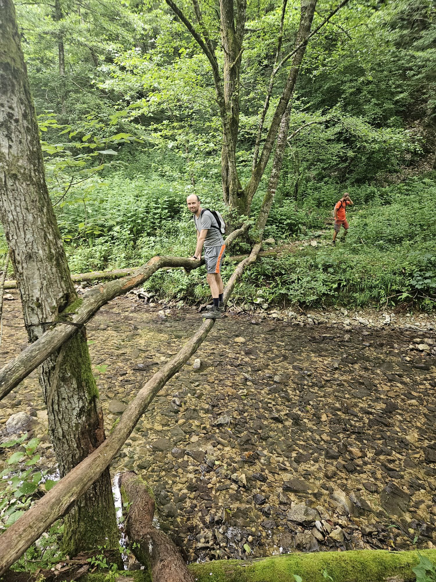
The trail is not difficult by its parameters, but there are some minor obstacles - several crossings of a shallow river, trunk bridges, unmaintained sections. Also, a short section of the footpath edges a rather steep hillside, so watch your step.
The window for this hike is rather large, like from April till November, but the ideal would be some warm summer day when you don't mind crossing the river on foot and would enjoy a dip in the waterfall.
Does not really matter. Overall, I found the northern side of the loop to be shorter and more interesting, so either do the full loop hike counter-clockwise (like we did) or just take the northern branch on the way there and back as well.
Would consider southern branch only if you prefer really safe route or are hiking with kids, because there are some short, exposed sections on the northern half of the loop.
In past years, any hiker in the area would usually check also Balda Canyon, a lesser-known cousin of Martvili Canyon. You can catch a glimpse of it from the bridge over Abasha, a little north of Balda monastery where the trek ends (or starts). If you want to explore it properly, follow the road to the east and soon, you will find pointers where you can take a path down to the canyon.
Unfortunately, in 2024, the access was blocked as the Georgian government "privatized" the canyon without letting anybody know and some sort of development is going on there. The whole situation is a mess right now, with protests, blockades, and some thuggish attacks by the "investor" and right now, it's not clear how the situation will develop.
There is no public transport to Balda. Which means, at least if you want this hike as a day trip from Kutaisi, that your best option would be a taxi which would drive you there and pick you up again in the afternoon. The total price for the drive to Balda and then back 6 hours later would be at least 150 GEL.
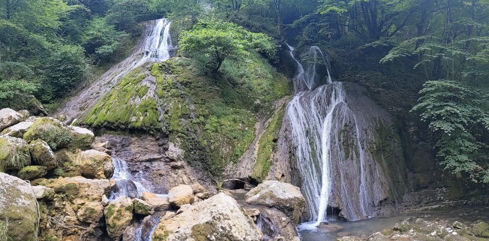
Toba waterfall
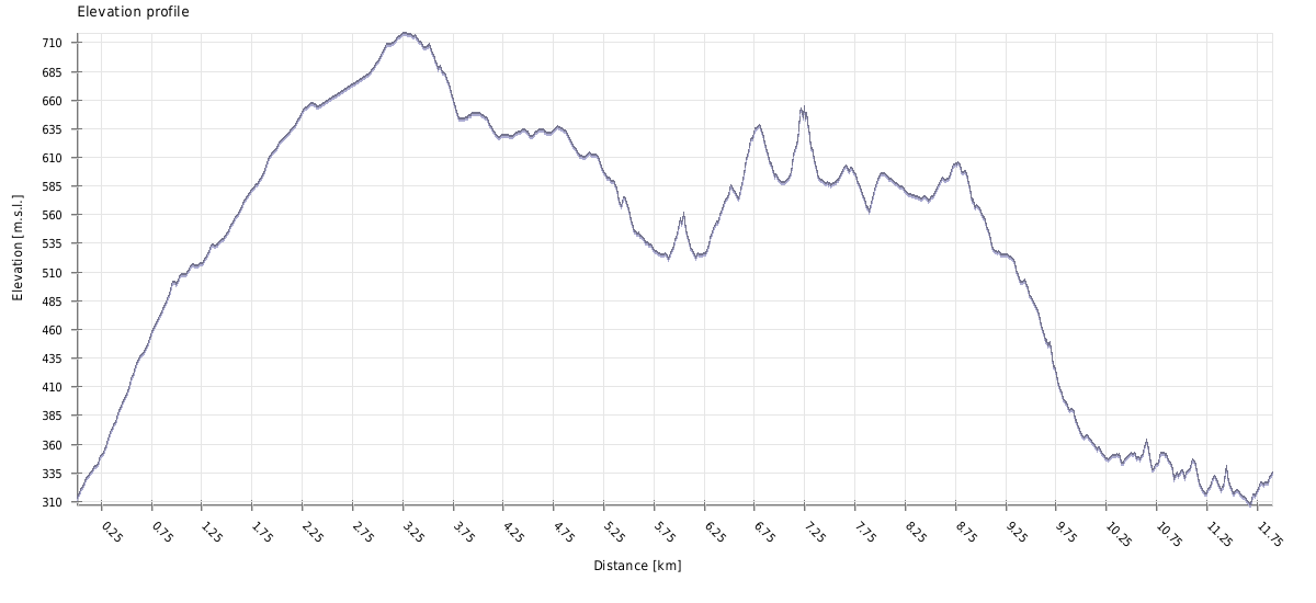
| Distance | 13.8 km |
| Trail type: | Roundtrip |
| Max. elevation: | 719m |
| Min. elevation: | 308m |
| Total climb: | 630m |
| Total descent: | 580m |
The trail starts at the Balda Monastery of St. Mary's Assumption. From the Abasha bridge, climb a road to the monastery and once you reach a junction behind it, turn right and walk around it to the south. The road soon turns into a dirt track and in less than 15 minutes, you shall emerge onto another junction. Turn left - there is even a hiking pointer showing you the correct path.
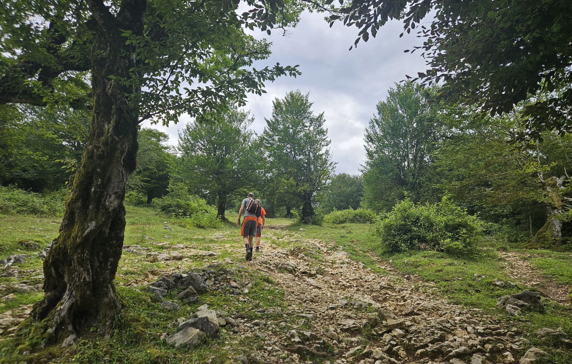
The track starts climbing pretty quickly. On a rather short section, you gain almost 200 vertical meters. Once you reach the altitude of 500m, it flattens a bit - you are still gaining altitude, but much more comfortably. The track steadily climbs through the forest for another 30 minutes, until it emerges on the meadow. At its other end, you shall find a shepherd's hut - you are now at the altitude of 720m, the highest point of the whole hike.
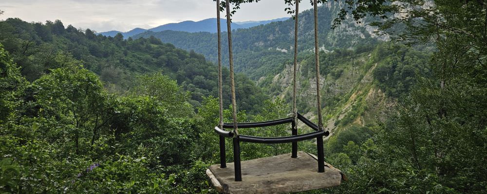
Which means that from here on, we are going down. Keep walking, on any junction, just go straight. Eventually, you will make it to the "Vakho´s hut" - a buffet, which sometimes works and sometimes doesn´t. If you are lucky, you can treat yourself to some delicious elarji. During our visit, Vakho wasn´t cooking, but he let us collect water and rest at the picnic area at the edge of the hill. The massive wooden furniture he has there is something to behold, and he even built a huge swing as a trap for the Instagrammers.
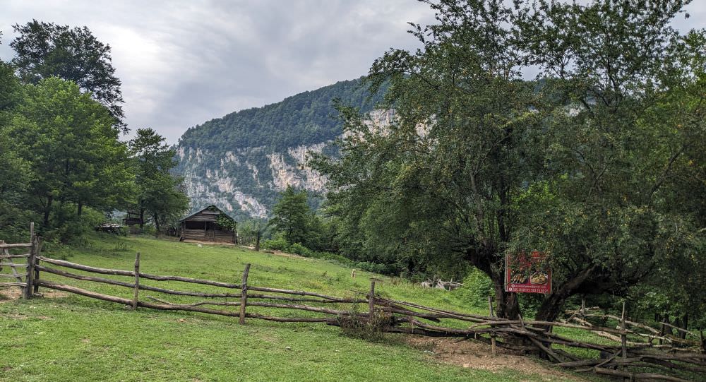
Vakho's hut
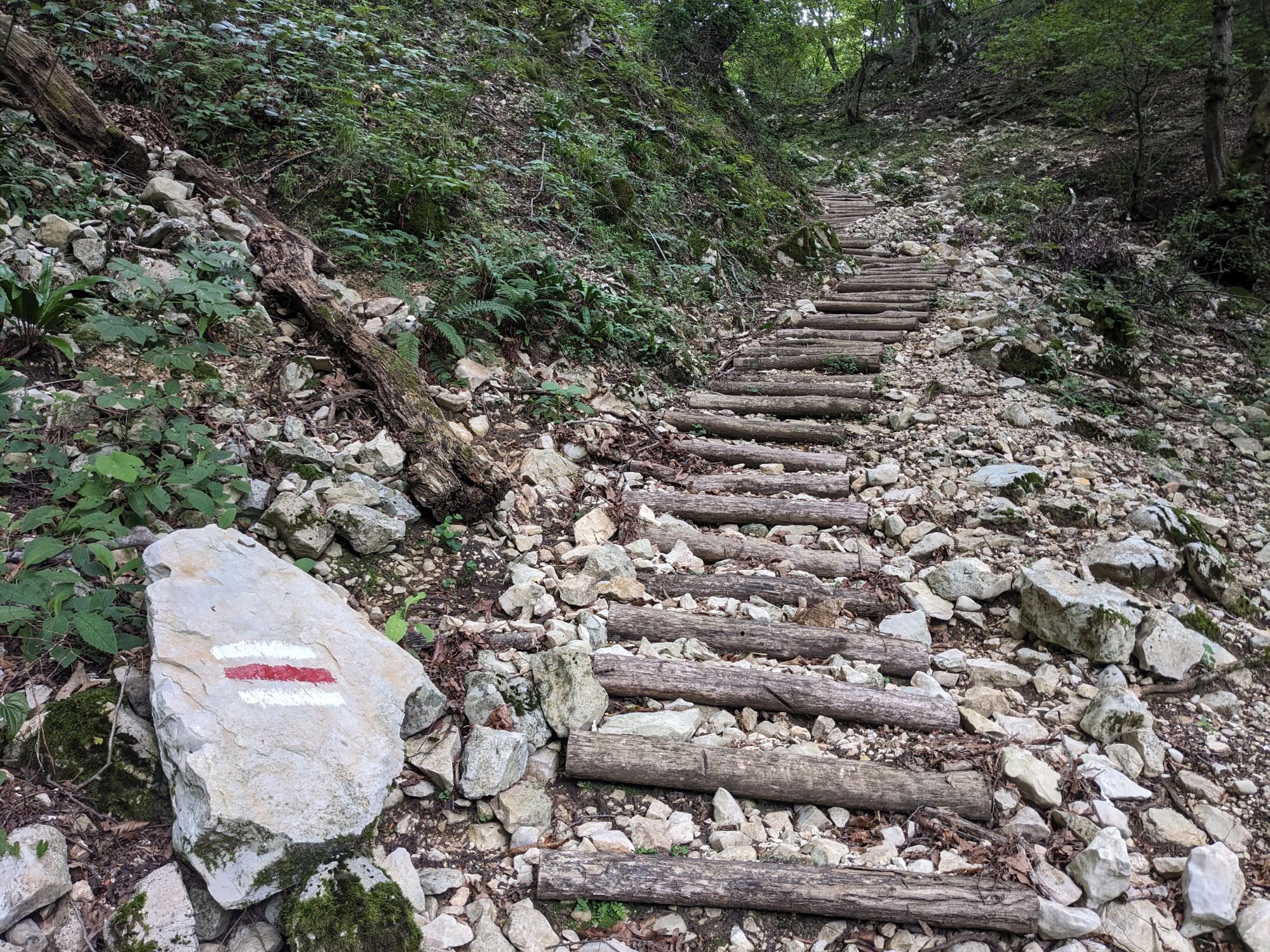
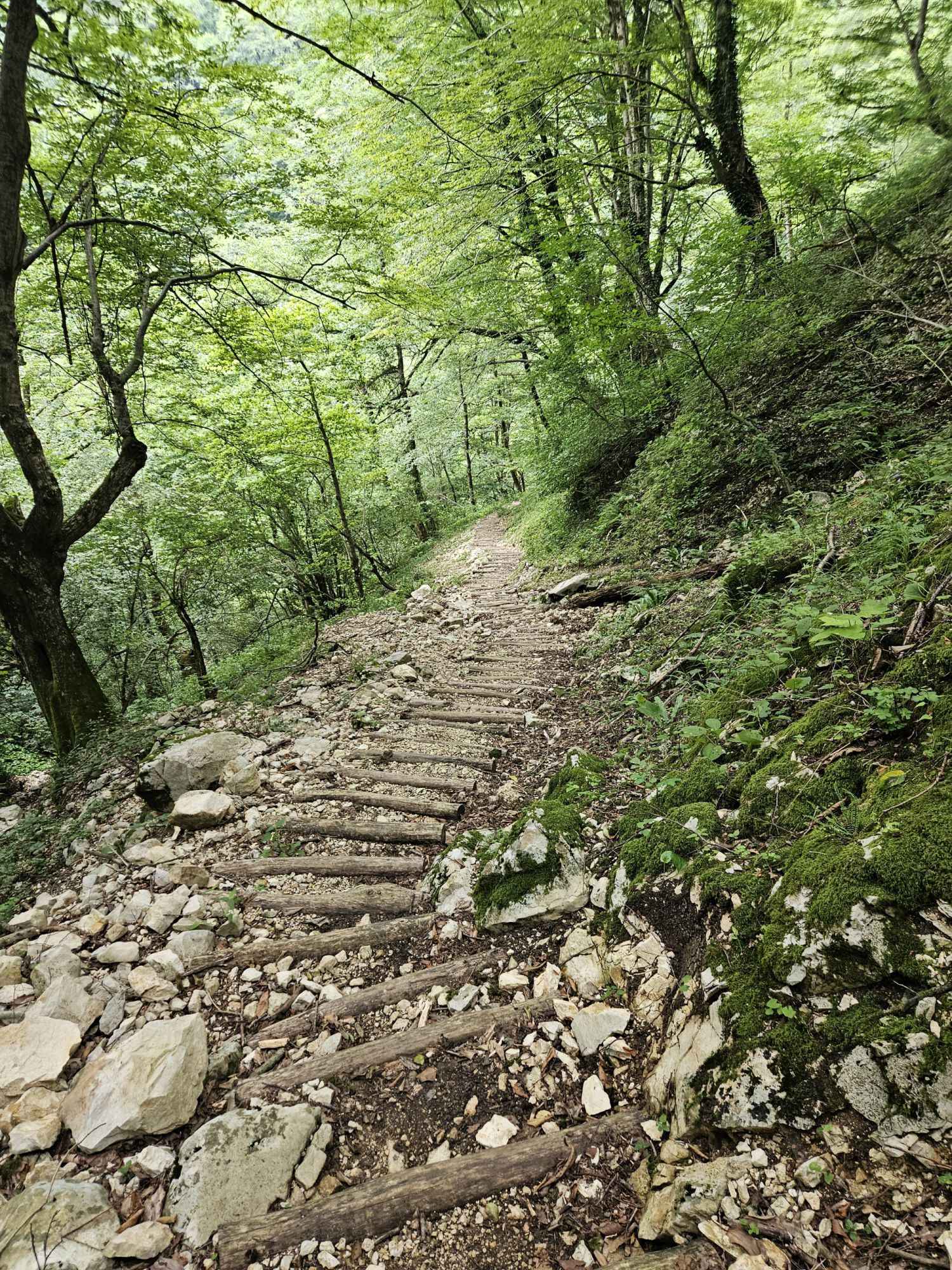
After the hut, the track turns into a trail. Soon, we were surprised by a new, nicely built set of wooden steps going all the way down to the creek. Really unexpected, because I haven't seen this level of care even on much more popular trails. Once you are by the creek, cross the bridge and continue some 200 meters to the junction - to the right goes the detour to the Toba waterfall. Follow it for a few minutes to the very proximity of the waterfall.
This is where the trail ends, but with some simple scramble, you can get into the creek and even cross it to get a better view. Toba waterfall is a rather long cascade, it's hard to get a good view or take a good photo of it.
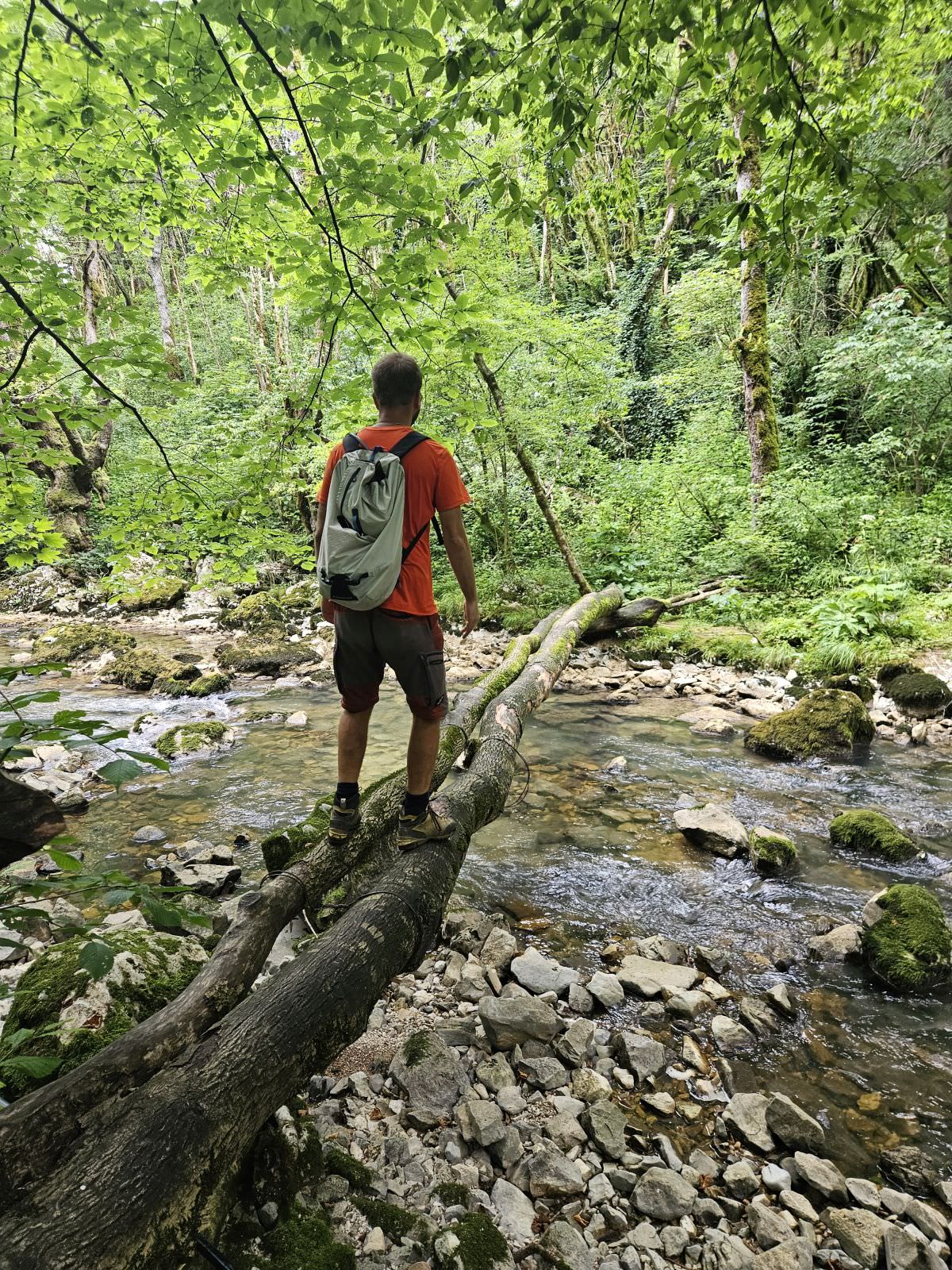
Return to the junction, cross the tree trunk and climb a small ridge. At the top, you will find a birdwatching tower - the trail turns right here and follows the top. After a short climb, you will reach a junction with a hiking pointer - the trail to the right will eventually lead you to the Okatse Canyon. But you head straight, on a path that steeply drops to the Toba river. Once at the bottom, follow the river upstream, past the picnic area (take note of the two trunks forming the bridge across the river). A little further and the view of the waterfall opens up.
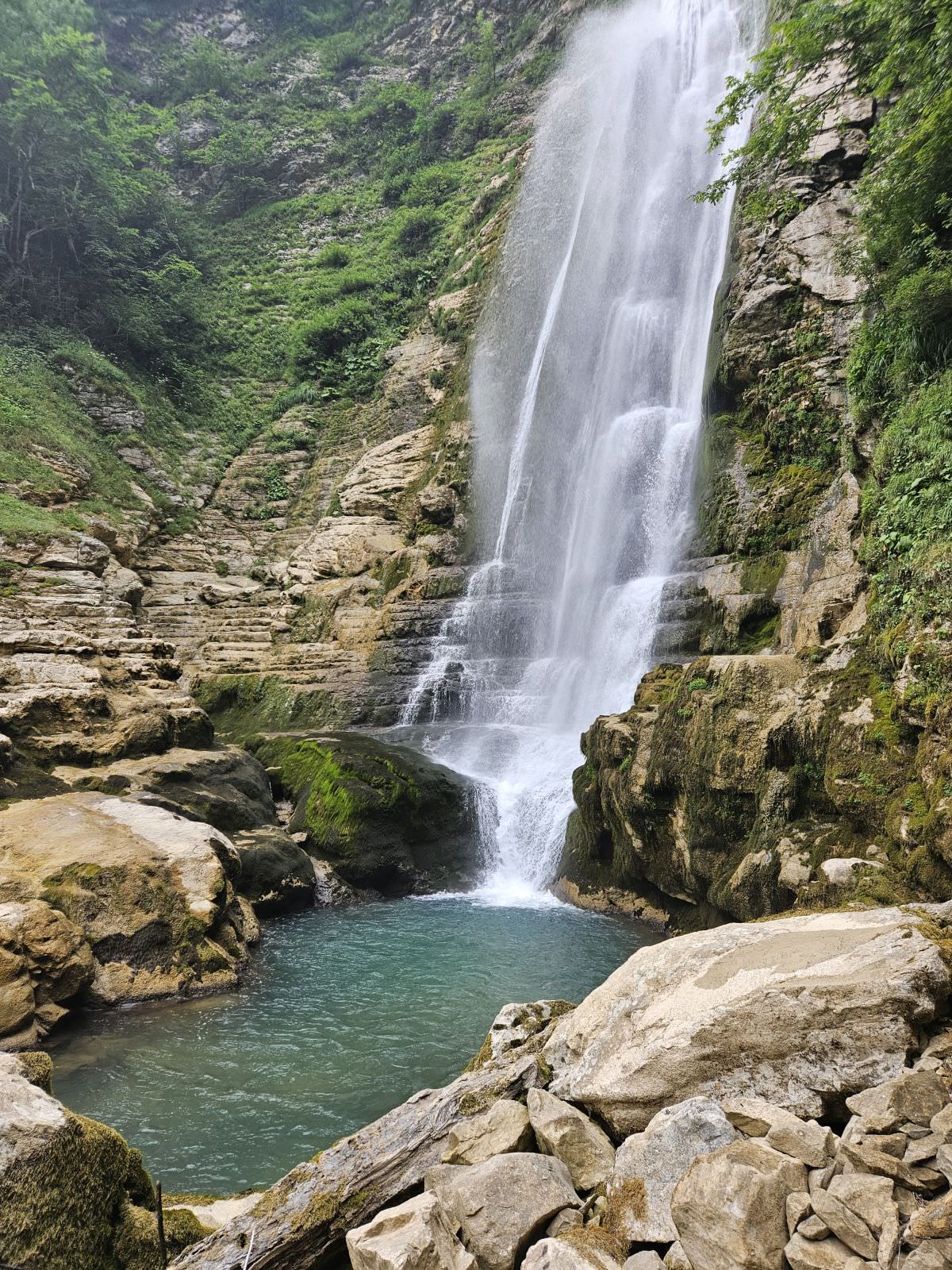
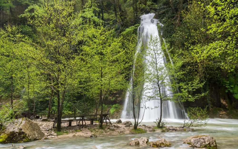
Oniore is an impressive, picture-postcard waterfall - 50 or so meters tall. At the bottom, you can have a shower in the pool, but I think there is no need to mention that the water is pretty cold. At the top, there is a nice cave, but getting there is very difficult and shouldn´t be tried without a rope and someone who knows how to climb there.
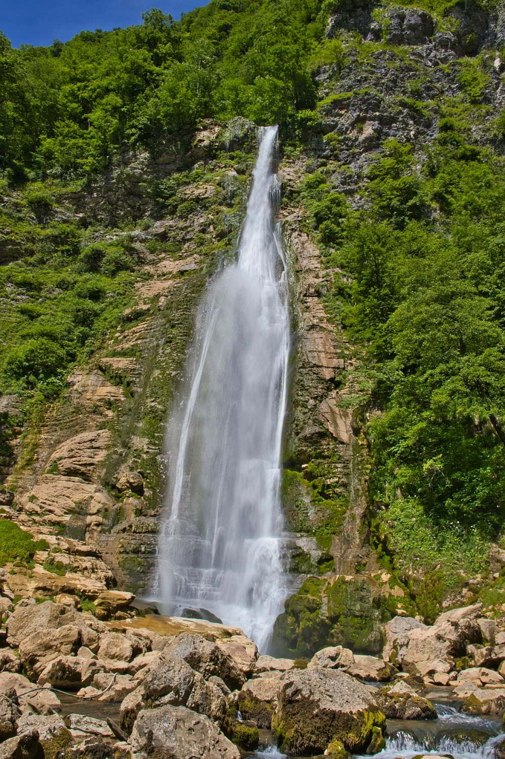
Oniore waterfall
OK, we´ve seen both waterfalls, time to return. If you are really afraid of heights, you could use the way to got here, but if you don´t mind some challenge, you should carry on and complete the northern branch of the loop.
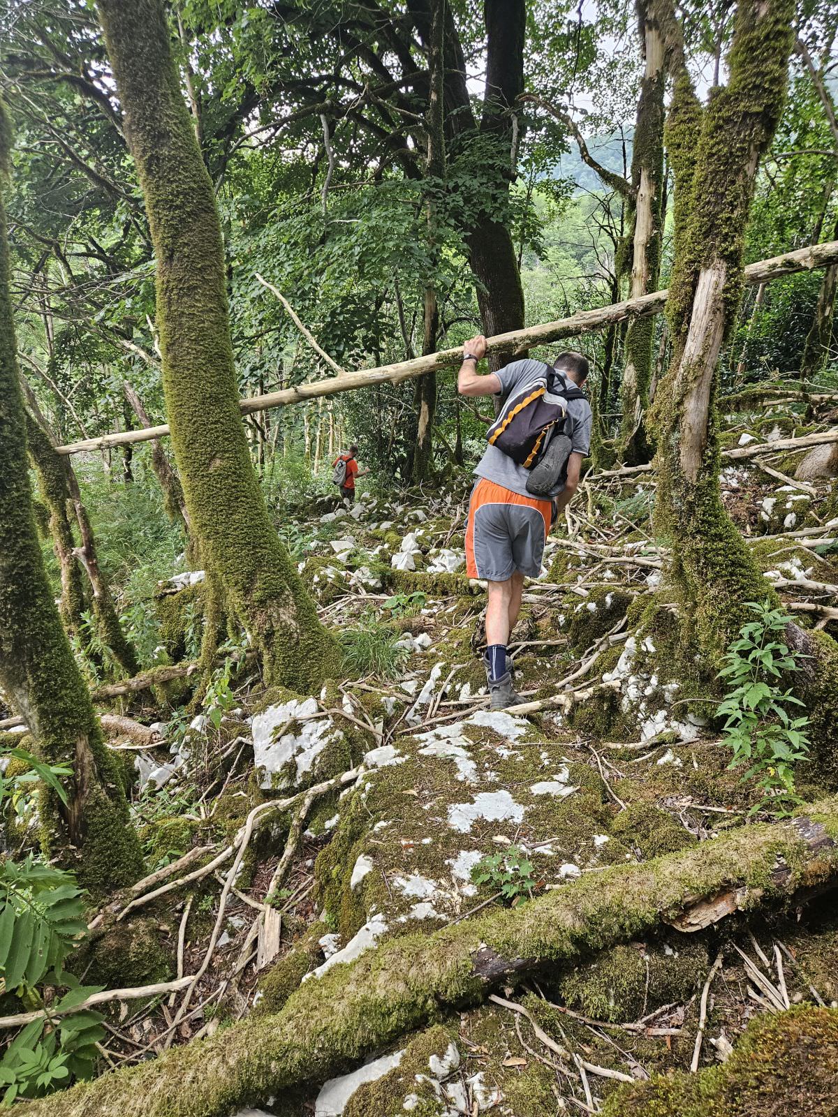
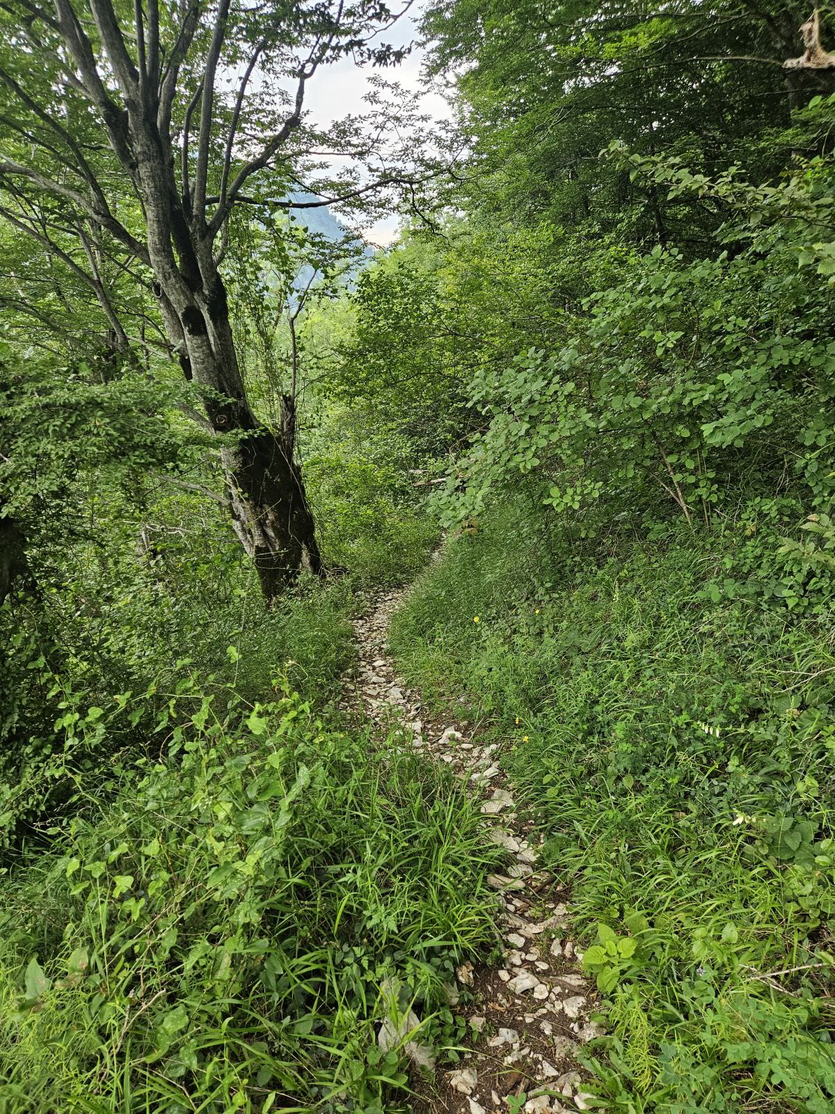
Return to the picnic area and climb on trunks over the Toba river (or just cross it by foot if you don´t feel comfortable on the logs). On the other side, you shall find a small, partially overgrown trail. It is not in the best shape, but if you pay attention, you should be able to follow it without any problems, there are even some old markings. There is only one trickier section, where the trail got buried under fallen trees.
Fortunately, rather soon, it turns into a proper, nice footpath so you can enjoy your walk. Admire precious Colchis Boxwood (Buxus colchica), endemic to the Caucasus, currently being threatened by some voracious butterflies. Still, watch your step - there are some short sections of the trail where you walk along rather steep edges and any misstep could have serious consequences.
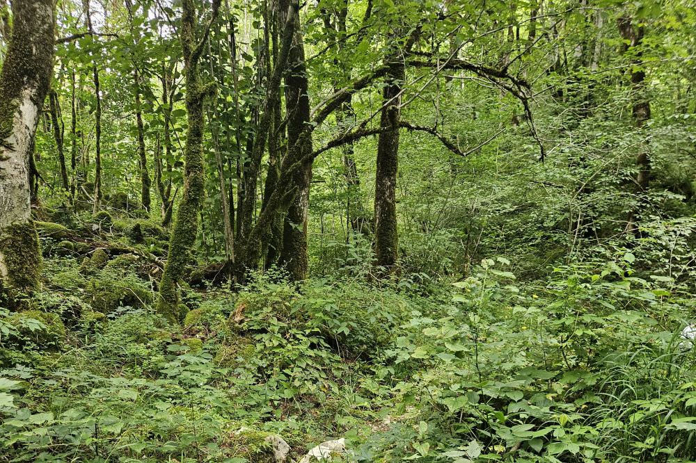
Walk through Colchic Boxwood forest
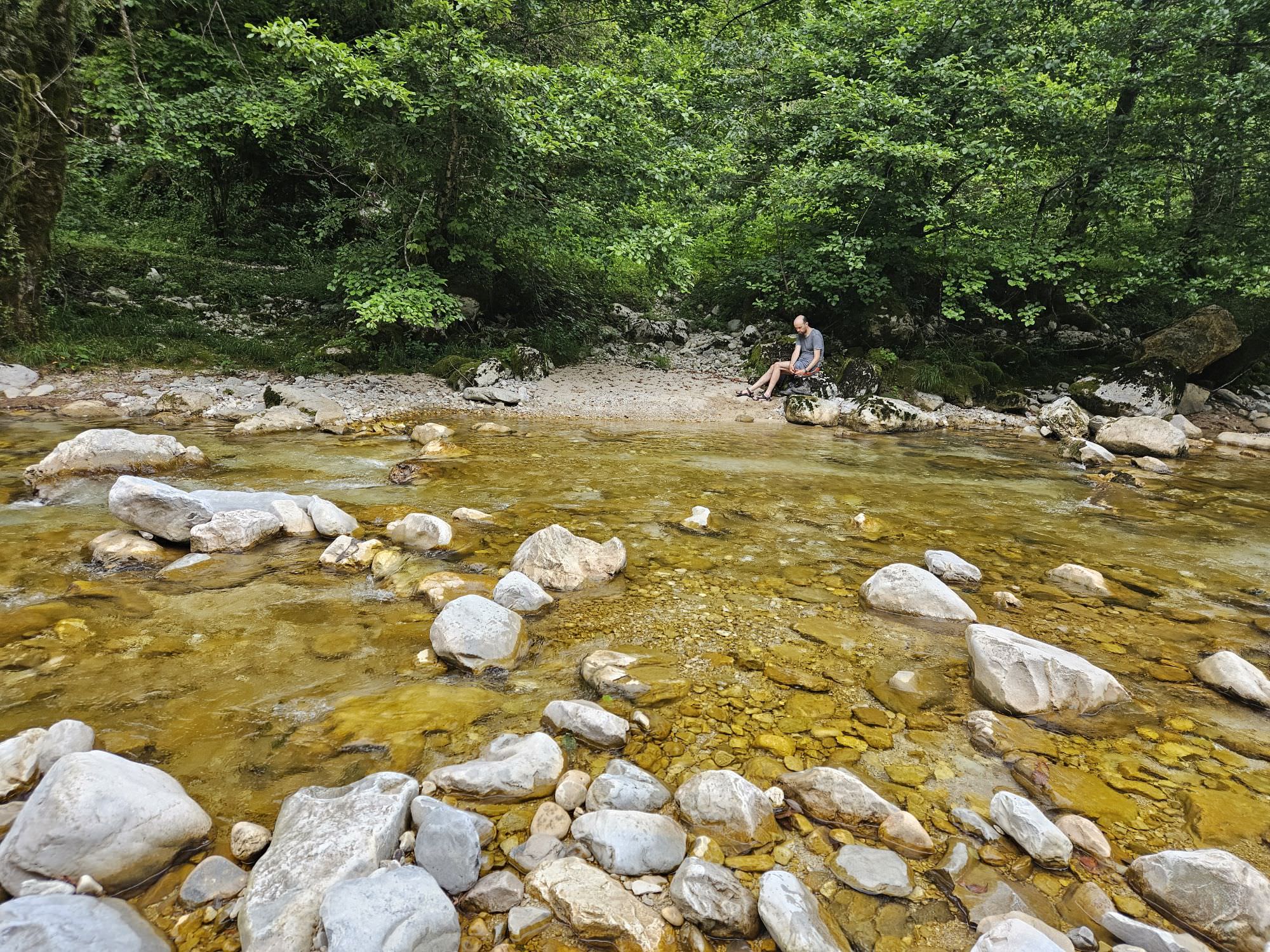
Finally, the path descends in a series of switchbacks to the river. It follows it for a bit until you can continue no more - time to cross the river. The river is wide and shallow, you should have no trouble crossing it unless there was some serious downpour on previous days. Still, it´s better to have some stick and hiking sandals, so you don´t have to cross barefoot.
At the other bank, you will find a nice trail, but it ends very soon - time to cross the river again. There are two more crossings according to the map, but these can be avoided by staying on the right bank of the river. Finally, you reach the confluence of Toba and Abasha rivers, where you make the last crossing - the water is very wide, but rather shallow. On the other bank, you will find a wide track to Kaghu waterfall.
Kaghu waterfall is also nice, but in a different way - it is a cascading moss-covered waterfall. What is not so nice are the crowds you will probably encounter here - a fruit of the new asphalt road. If you played it smart, your taxi driver is already waiting for you here, if not, you have to walk an extra almost 2km back to the Balda Monastery. So don´t be like us, instruct your driver properly beforehand (there is no signal at Kaghu) and you will be fine ;)
Kaghu waterfall


