
A difficult trek crossing remote mountains separating Lower and Upper Svaneti.
"OK, guys, I admit this is harder than I expected, I think I owe you a beer."
"A beer? We are way past that. Based on last 5 hours, you owe us a brewery."
When I write descriptions of trails, I do it because I want people to walk them. But this case might be different. I am not sure if I want people to tackle this trail, not sure whether I write this as an inspiration, or as a warning. Still, there are many trekkers with more outdoor experience than me who could enjoy this route, and I think they would find this useful. Also, it feels good to fill blank spaces on my trekking map, so let´s do it ;)
This post covers the crossing of Uskuri range, which separates western reaches of Upper and Lower Svaneti. Due to the difficult terrain, very few hikers even completed this route, and almost exclusively through the Khelerdi pass (more on that later). We took a different route farther to the north which is even harder, but also offers much better views. As inspiration, we used the writings of Jan Richard Baerug, who improvised this route in 2014. Will refer to it here as "the Uskuri route" due to its proximity to Mt. Uskuri.
It took us four days to finish the trek, with days 1 and 4 being on the shorter side and days 2 and 3, where most of the "fun" is, being longer than we wanted.
No doubts here, this is a tough trek. In the middle part, there is no trail at all, you are crossing something pretty close to the untouched nature. Which means that the route contains several bushwhacking sections, with one of them being the most difficult I've ever done. Some steep sections may be beyond the comfort zone of some hikers. And last but not least, one campsite is without water which will test your water management skills.
While the water is abundant most of the time, there is none at the Day 2 campsite (and the bnext spring is 2+ hours away from it). Therefore, it is necessary to take sufficient amount when leaving Kheledula valley, 4 liters at least.
As with most other high-altitude treks, the window for this one is from early July to late September. We finished the route in the first half of July and had to traverse some rather steep snow fields from the side of the Kvishok valley. Those should be gone by the end of July.
Doable in both directions. We took the route from Lower to Upper Svaneti but, in reminiscence, doing this route in reverse might be even easier. Yes, the climb to the ridge is steeper from the Khaishi side but this direction allows you to avoid one of the trek's major pain points: the lack of water at the Day 2 campsite (as it's just 2 hours and downhill from the spring to the campsite when coming from Khaishi, opposed to 5-6 hours of tough uphill when coming from Lentekhi).
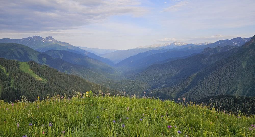
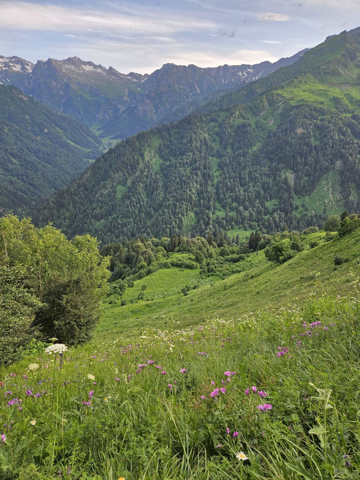
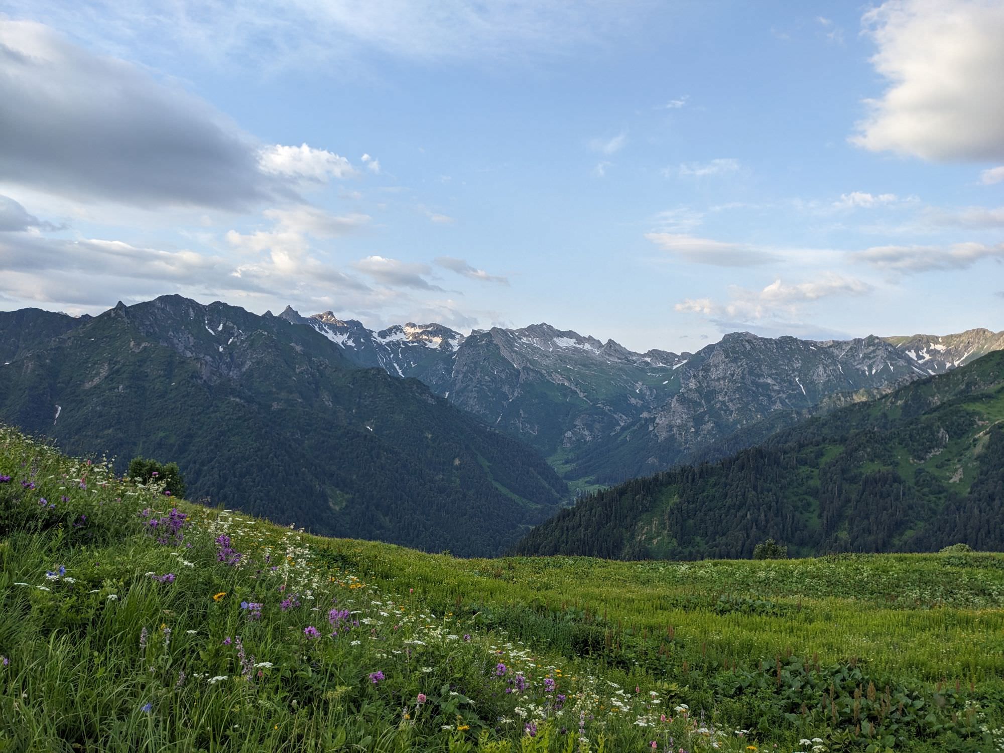
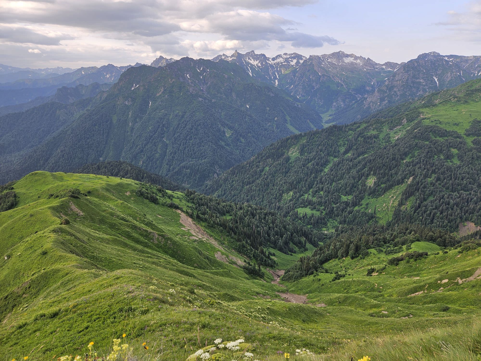
Views of Lower Svaneti from the campsite
The cheapest option to get to Lentekhi is the marshrutka from Kutaisi. There should be at least twice a day, departing at 8 am, 12 am, and maybe also another one in the afternoon. The ride takes about 2 hours and costs 20 GEL.
If you are traveling in a larger group, you might want to take a taxi instead. In 2024, we found a guy willing to take us there from Kutaisi for 120 GEL. If you make such a deal, pay him some extra money and ask him to take you to Kheledi to save time and skip the rather long walk on the asphalt road.
Leaving Khaishi is harder than it seems to be. Even though the road sees decent traffic, there are only a couple of marshrutkas per day and these are usually full. You might try to hitchhike, but as a backup (especially if you are traveling in a group), you better have the phone number of the taxi driver either from Zugdudi or Mestia. Or you can ask at local shops, they will call you someone but it will cost about 300 GEL because there seems to be no taxi driver in Khaishi and the driver would have to come from Zugdidi anyway.
Easiest would be to take any marshrutka in the direction of Mestia, leaving from Kutaisi, Zugdidi or Tbilisi and leave at Khaishi.
There are several marshrutkas a day departing in the direction of Kutaisi, with the first one leaving around 8 am. Your best bet is to head to the bus station situated at the main square or, if you are staying at the local guesthouse, to ask your landlord to procure a ticket for you.
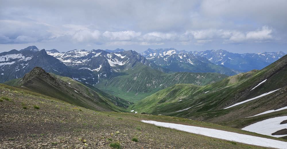
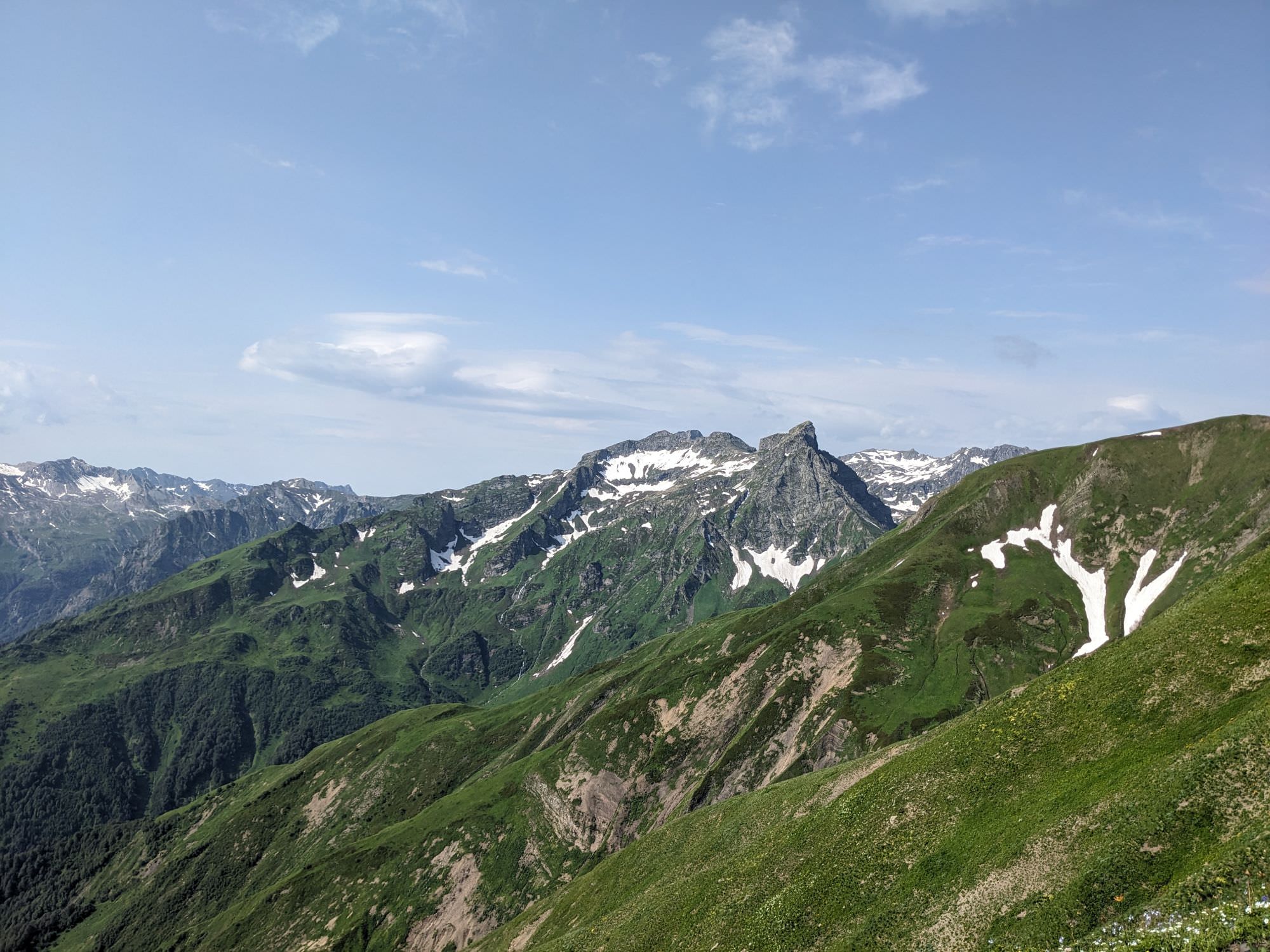
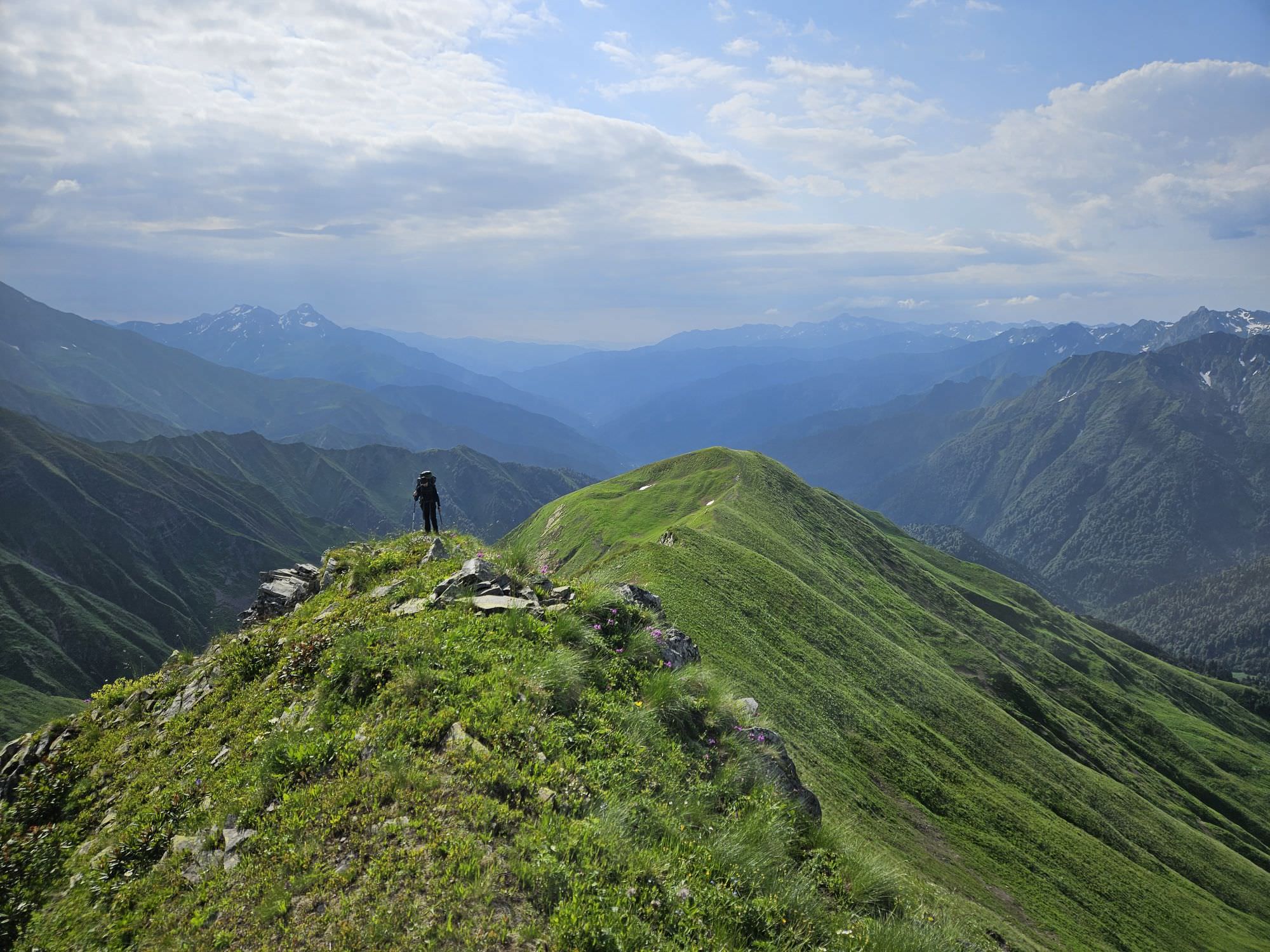
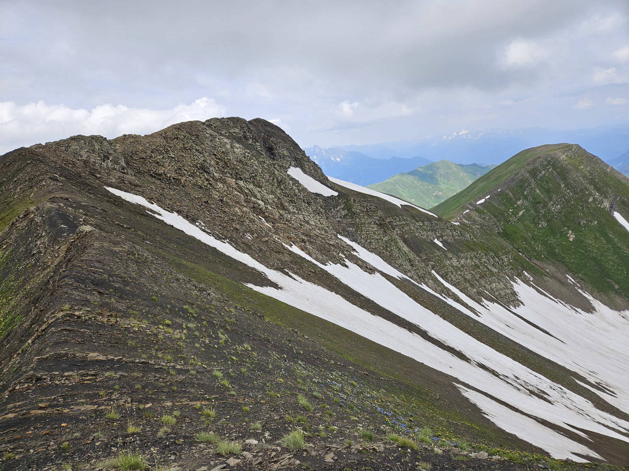
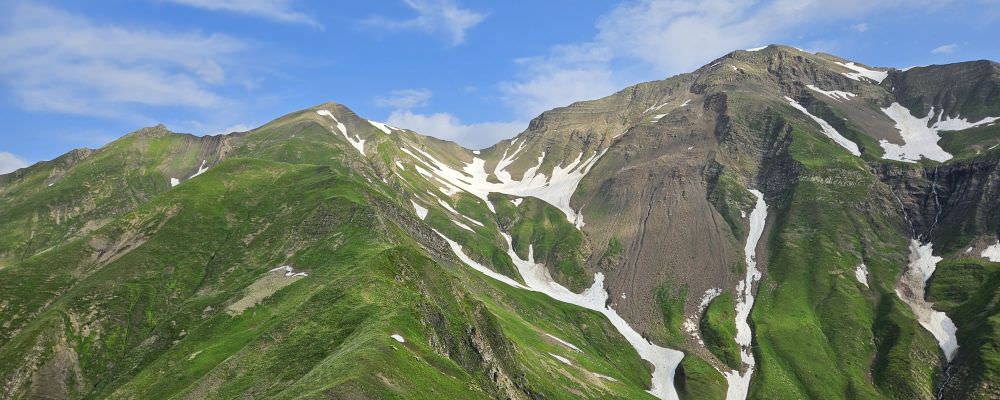
Views from the top of the Uskuri range to the north
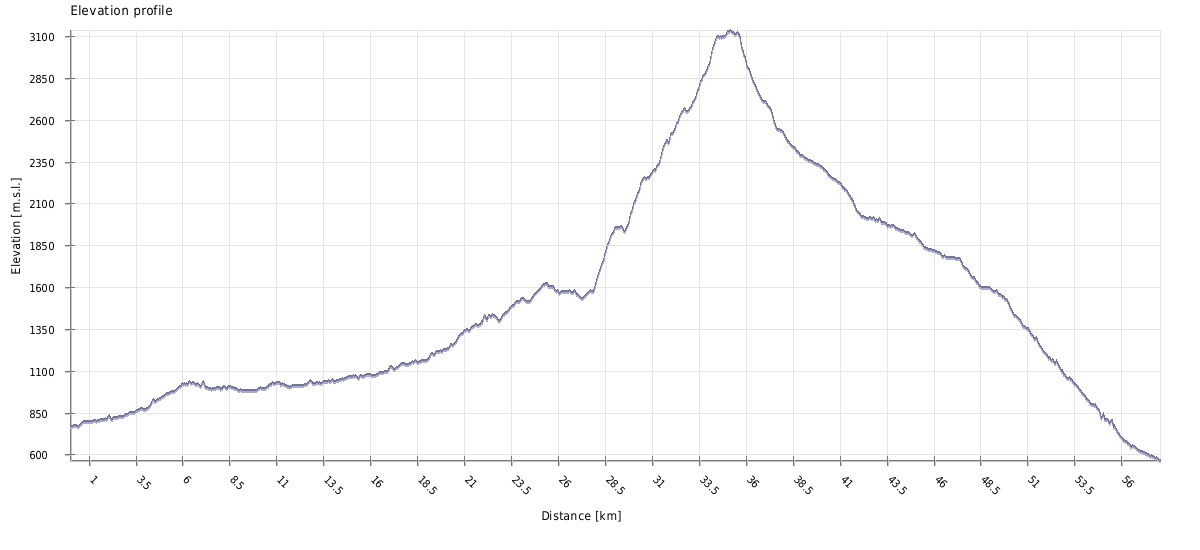
| Distance | 61 km |
| Trail type: | AB trip |
| Max. elevation: | 3177m |
| Min. elevation: | 596m |
| Total climb: | 3473m |
| Total descent: | 3634m |
Our trek started at Lentekhi, but yours doesn't have to, at least if you used the taxi to get here. In such a case, I strongly recommend asking your driver to drive you 7km further to Kheledi village. There is a nice asphalt road, suitable for any car, so don't let him milk you too much. Meanwhile, the rest of us walk. A good place to start is at the entry to the city, before the bridge - just grab Svanian Kubdari at the nearby buffet and we are good to go :)
Follow the large asphalt road heading west, into the Kheledula valley. One hour later, as you approach Tsanashi village, the road splits - the right branch crosses the bridge to the north, left branch stays on the southern bank. But it doesn´t matter which road you take, they will eventually merge again. Crossing the bridge is "safer" since you will cross the river anyway, while the southern route offers more shade.
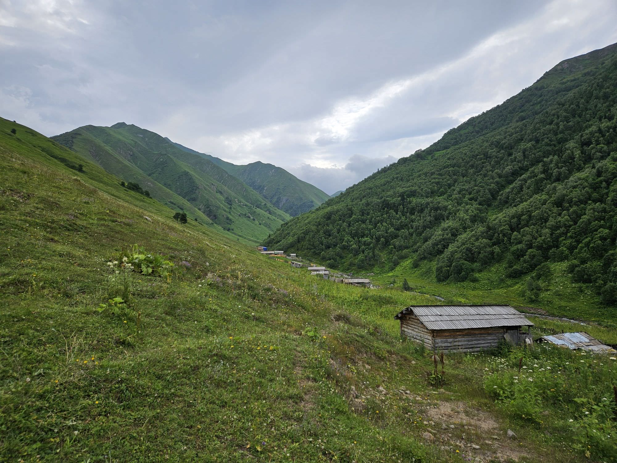
The next village is Kheledi. This is the last major settlement in the valley - from now on, "villages" marked on the map are just hamlets formed by a bunch of houses spread around the road. Also, this is where the asphalt road gets replaced by a gravel track.
Keep walking on the road. You will pass Khacheshi hamlet but it is hardly noticeable, hidden in the forest to the right. From here, there is another more than hour of walking to Mananauri. If you are started in Lentekhi, it is about time to break a camp. If you took a taxi to Khacheshi, day 2 would be much easier if you walked further to the campsite at the end of Tskhumaldi village (that one has water as well).
In Mananauri, we camped at the flat spot south of the main village junction (one with the bench). Saw some people nearby so got water from their house. If you are not so lucky, you might have to disinfect water from a small river flowing from the north or some other creek. Apart from that, Mananauri is pretty small - among hikers, it is known mainly for a trekking trail that heads north, into Upper Svaneti through the Laila glacier.
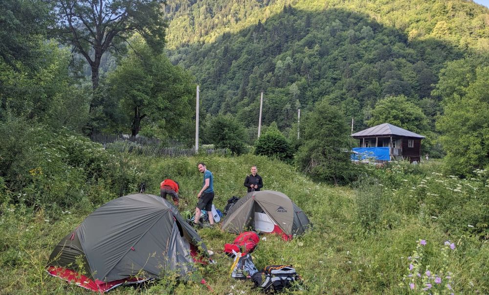
Our campsite in the middle of Mananauri village
Just stay on the main road. So far, the ascent was very smooth, but after Mananauri, it gets noticeably steeper. The next village is Bavari famous for its mineral water, then the road climbs to Tskhumaldi. But at this stage, these hamlets are formed just a bunch of houses spread around the road, you shall probably pass them without seeing a living soul.
At the end of Tskhumaldi, you shall find a water spring, and little further, there is a nice, small campsite (and even official, there is a sign). If you can organize your schedule around it, this is the perfect place to spend a night. This is the end of civilization, from now on, you are on your own.
Follow the dirt track. It gradually deteriorates - at places, it gets overgrown, at others it gets completely flooded by huge puddles. In 30 minutes, you shall reach a junction - turn left, onto the track running in parallel with the Kheledula river. The track then winds a bit around the hillside, till you reach the Small Liburga creek. Stock up on water here, ideally 4 liters per person, because the following rivers are too large to serve as a drinkable water source.
About 10 minutes after you leave Small Liburga creek you will reach its larger cousin - Liburga river. During our trek, the river was rather small and fordable, but the washed-out bank hints that the situation can get pretty dramatic even here. After the river, you can continue on a faint track to the south, but rather soon, you shall reach Kheledula river.
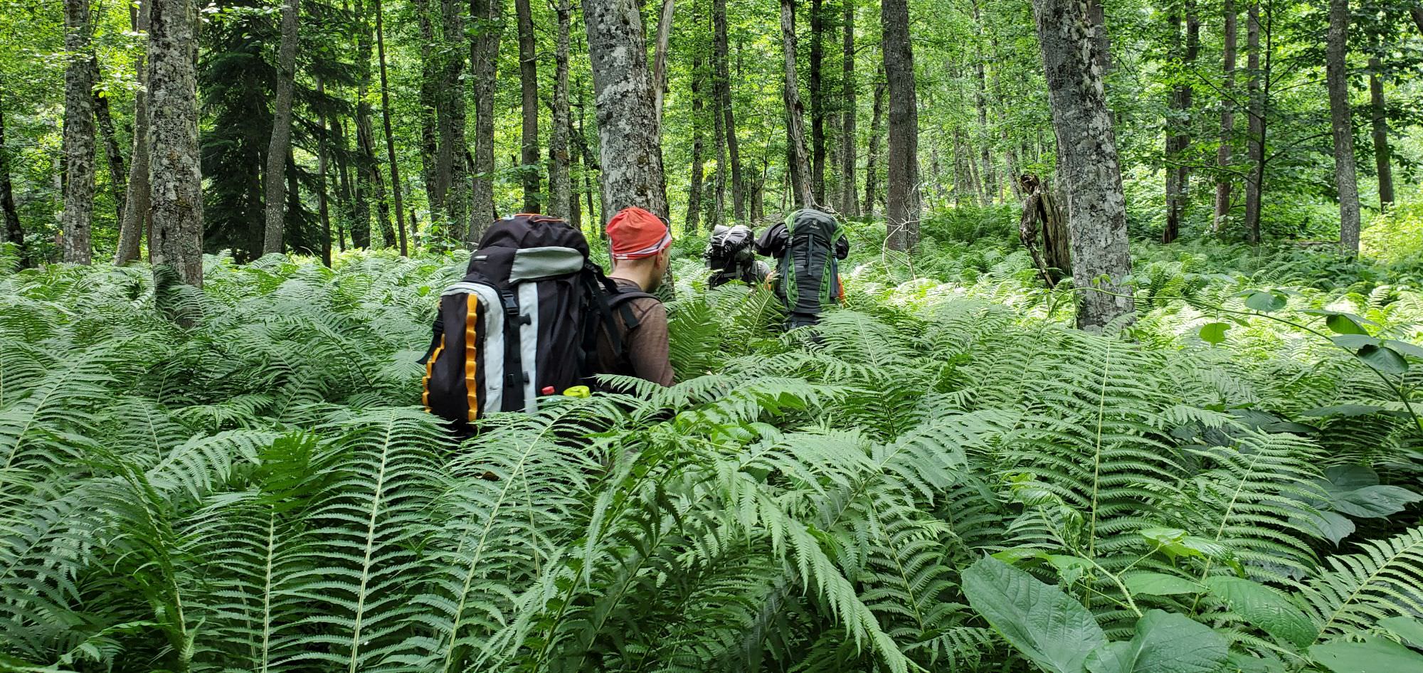
This is where the real fun "begins". You do not need to cross the river, your goal here is to find and climb the narrow ridge that separates Kheledula and Liburga riverbeds. So you turn right into the jungle formed by horsetails, raspberries, burdocks, ferns and "Lord knows what else". Do not follow our gpx here too closely, we deviated too far to the right and in the end, had to climb the ridge a bit from the side which was neither pleasant nor safe. Plot your own route - the direct approach to the ridge should be better.
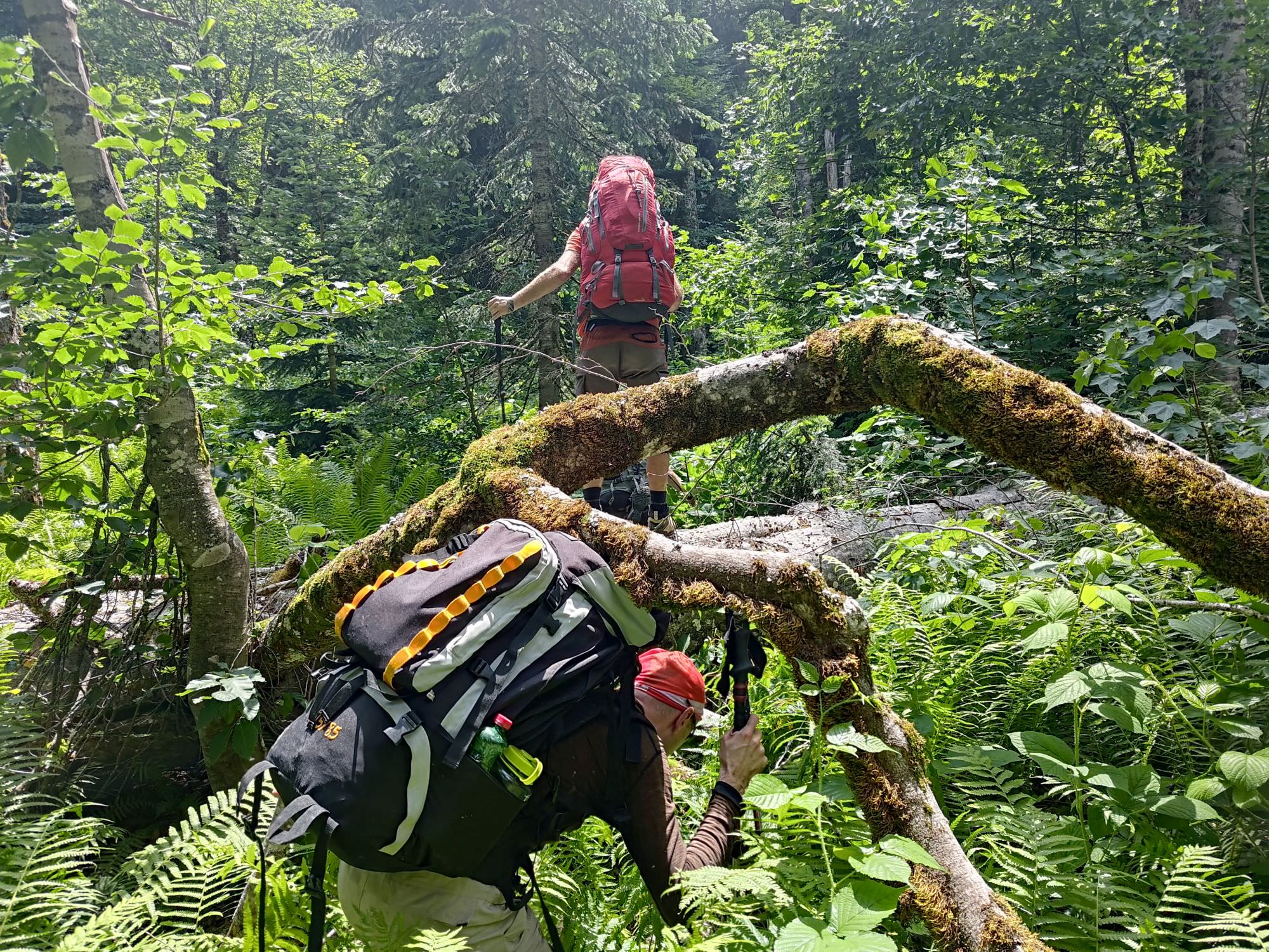
The terrain at the bottom of the valley
Once you reach the ridge, the climb becomes straightforward, but nowhere near pleasant - it´s still a jungle, only with ferns replaced by rhododendrons. The ridge is wide just enough so you won´t be afraid of falling, but not wide enough for you to be able to pick a route forward. Only about 150 altitude meters later, rhododendrons and other bushes somewhat disappear and the walk becomes more pleasant.
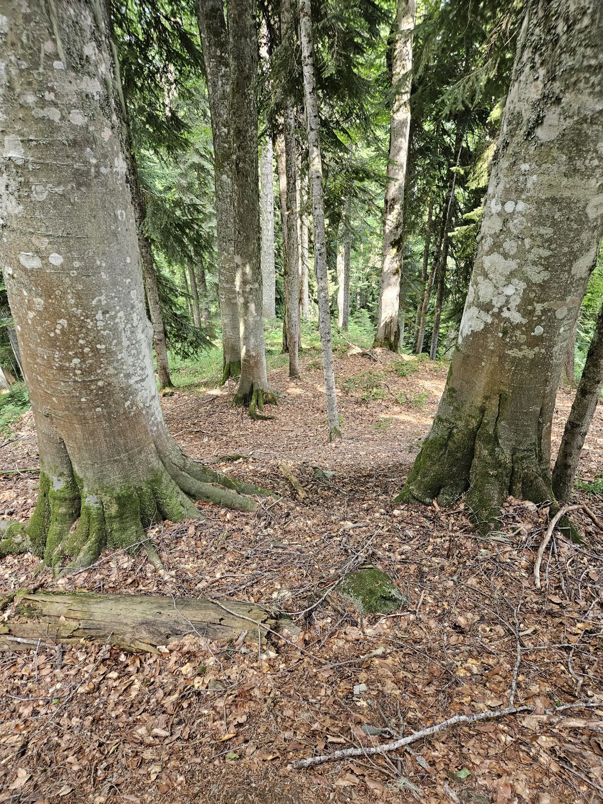
Keep climbing till you reach a forested hill at 1960m. The ridge turns to the north here - descend a bit, then start climbing again. As you are getting to the treeline, large pines and spruces which suppress most of the competition at lower elevations make space for lower trees and bushes, which grow thick sticks in all directions. Progress becomes slower and slower, until you fight for every meter and with nostalgia remember the jungle at the base of the ridge. At places, branches of young trees grow in formations resembling prison bars and it´s hard to squeeze through, especially with a heavy backpack.
There is not much advice I can give about this section - this was, hands down, the worst bushwhacking I ever experienced. Only that you should look out to the left side of the ridge, there is a meadow, and the sooner you emerge onto it, the better for you. Once you are at the meadow, all that awaits you is a very steep, but rather short climb to the plateau which will serve as your campsite. Hope you didn´t drink all your water during the crawl to the top, because there is none here.
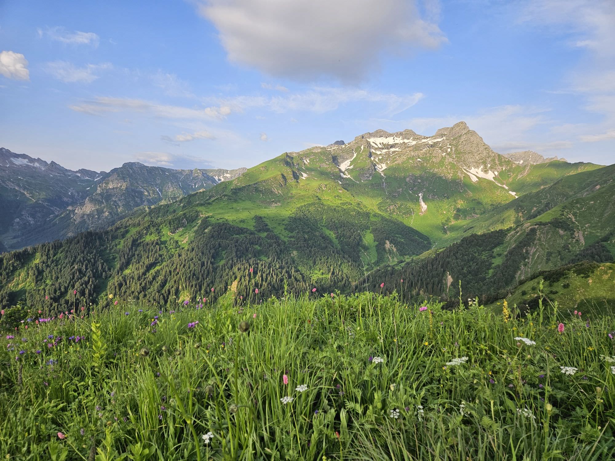
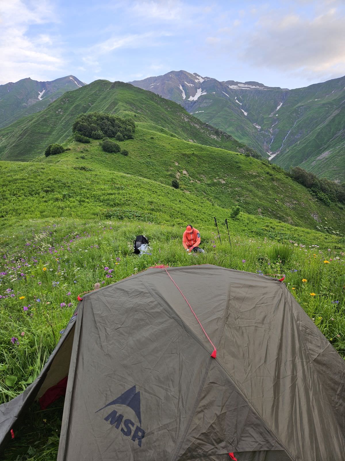
Views from the Day 2 campsite
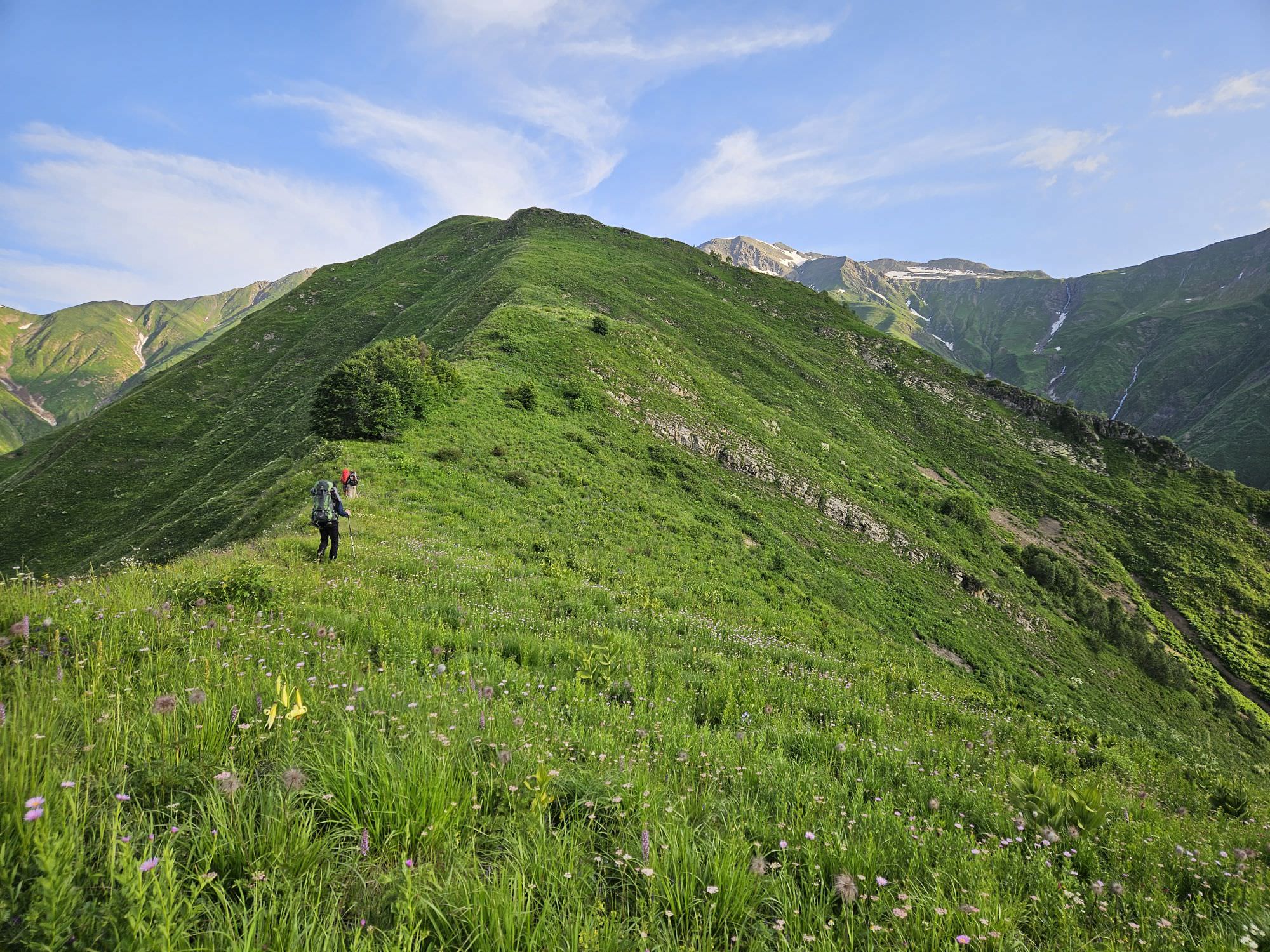
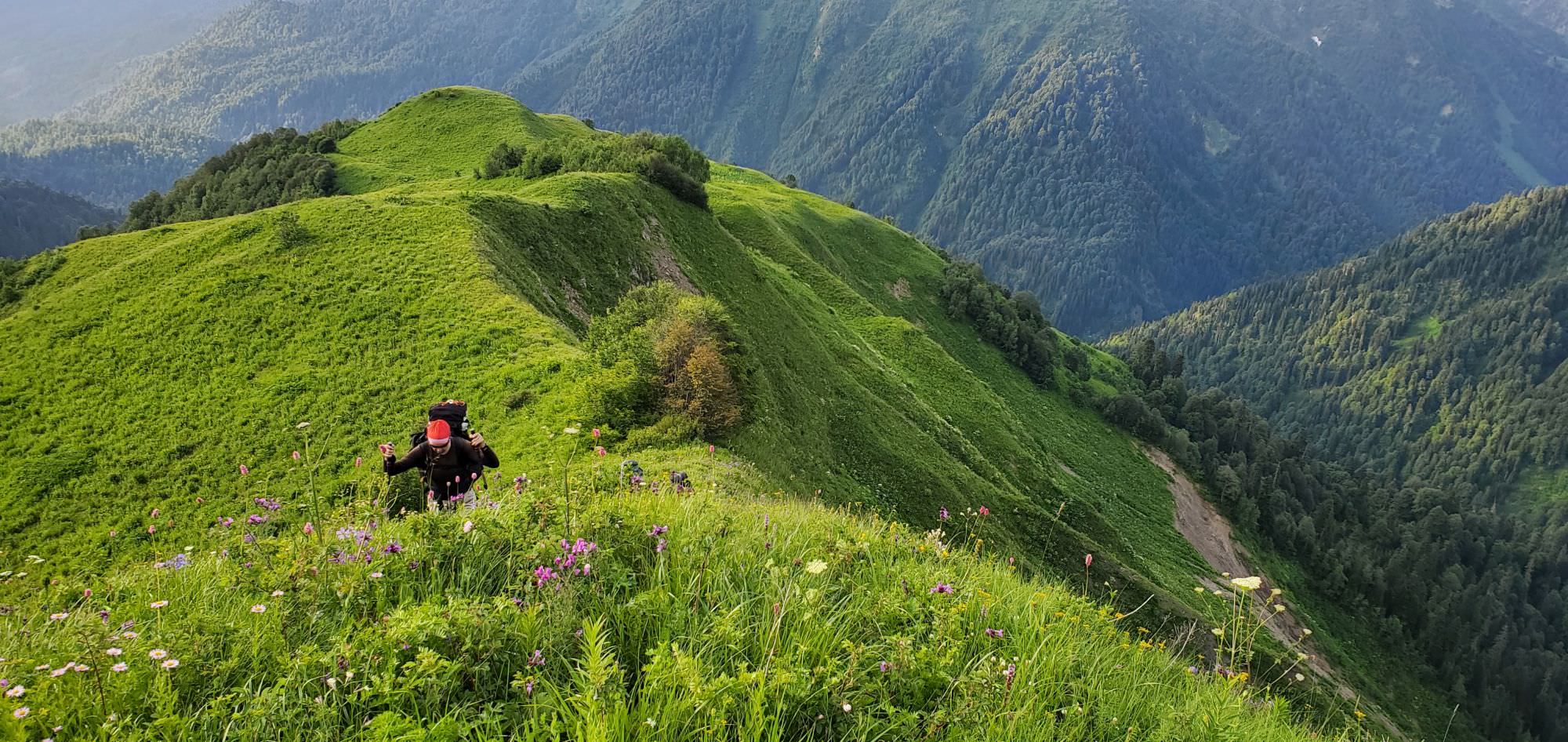
Follow the ridge towards the mountains to the northwest. Rather soon, there is only one small grove which you need to bypass from the right but apart from that, the ridge is bare.
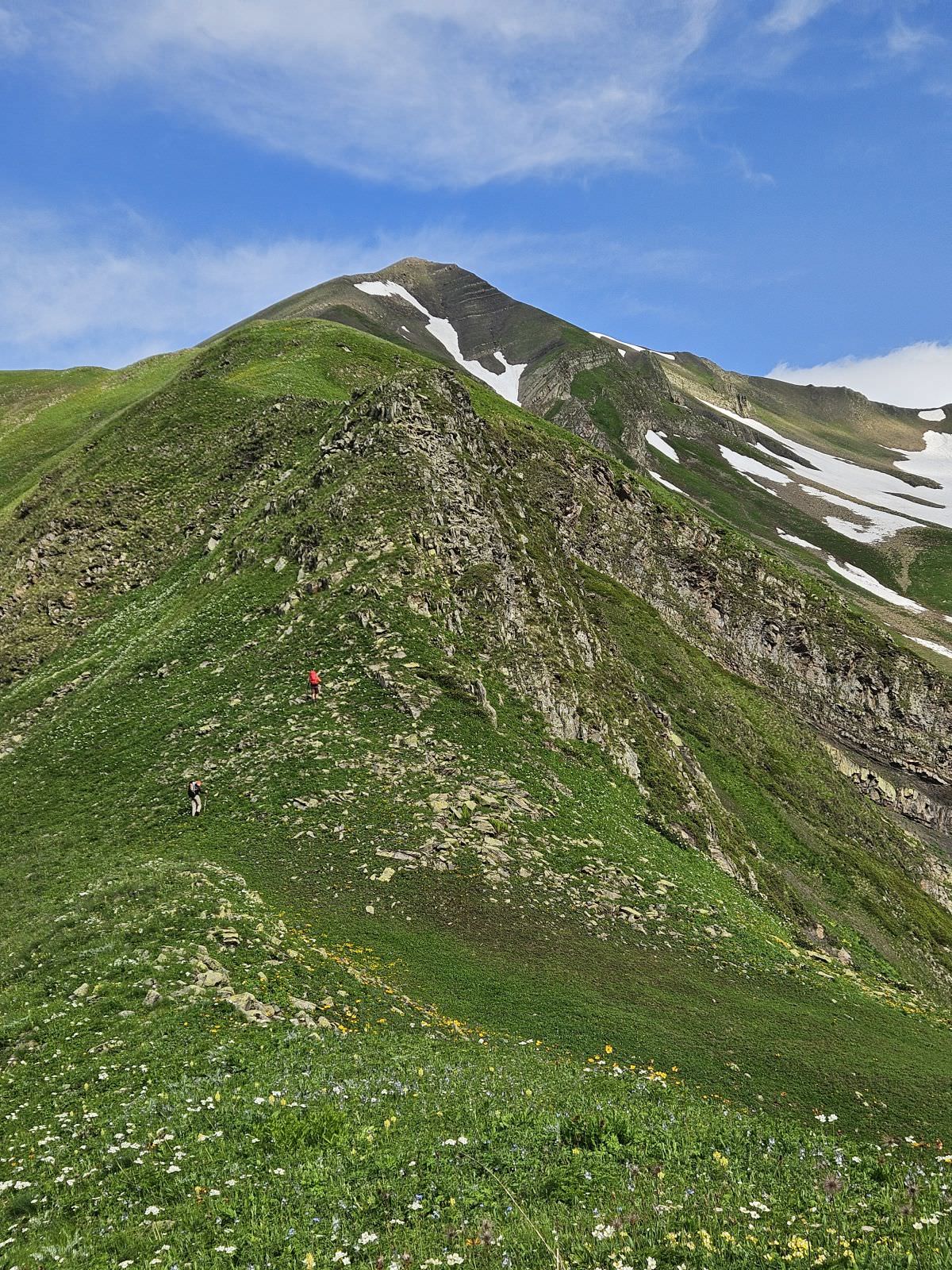
The climb is rather steep but non-technical - there is only one easy scrambling section at the altitude of 2700m and another one where you better grab some grass. To the right, we saw the bottom of the valley with some flat-looking spots for tent, but didn't investigate further. The detour to get water is not necessary - just following the ridge, you shall reach a small creek a little below the top. A little above lies the nameless pass (place has no official name, so I marked it in gpx as Liburga pass based on the creek below).
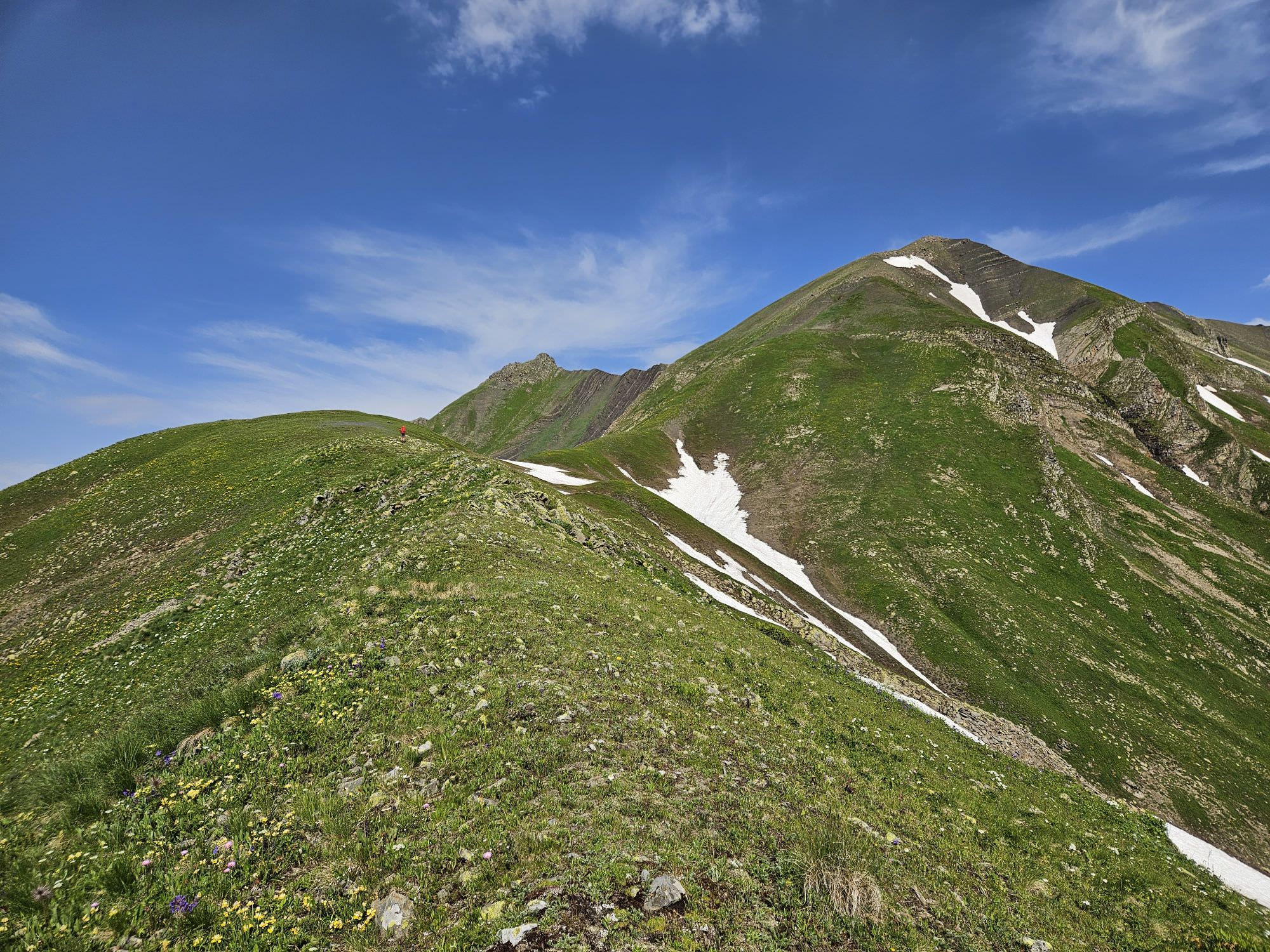
Final climb to the Liburga pass
The side ridge you follow connects with the Uskuri range at the altitude of almost 3100m. Once at the top, turn right and hike 500 meters to the spot where the ridge splits. The right branch leads to the difficult terrain around Mt. Uskuri (3318m) so we turn to the left. The ridge, rather so far becomes a bit rocky and you may have to bypass some harder terrain on the top from the right (or climb across, which may be even safer).
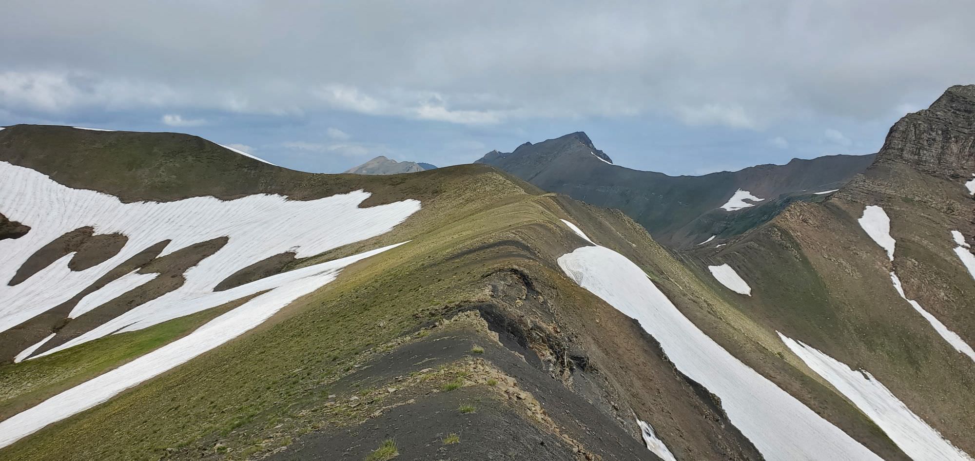
At the Liburga pass
There are several options to progress further. Richard, whose footsteps we followed, kept going straight to the small saddle to the right, from where he descended directly into Kaseleti valley. However, the terrain around the saddle was pretty rocky so we opted for what seemed like a safer option. To descend to the north into the Kvishok valley and follow it until it merges with Kaseleti valley.
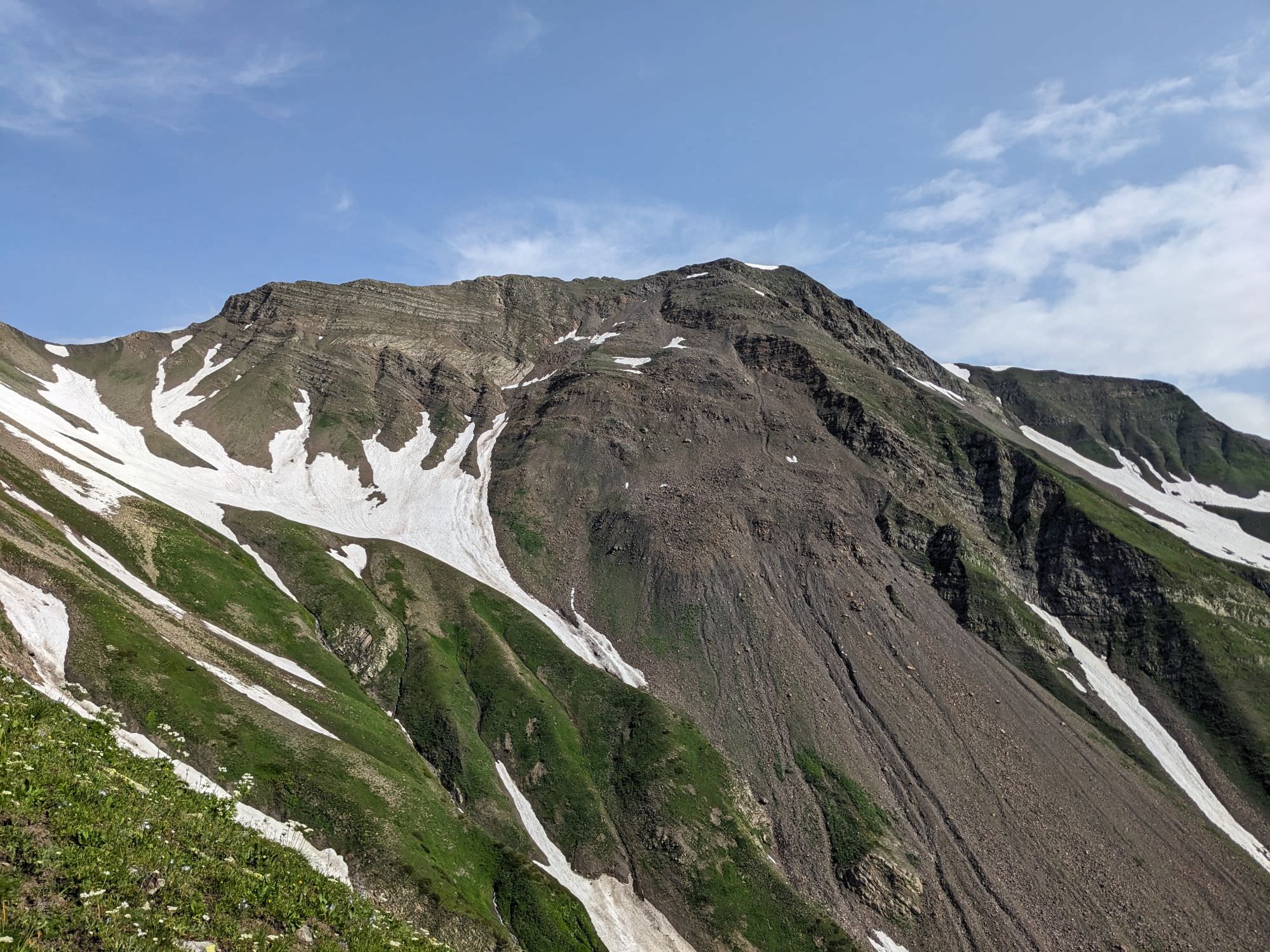
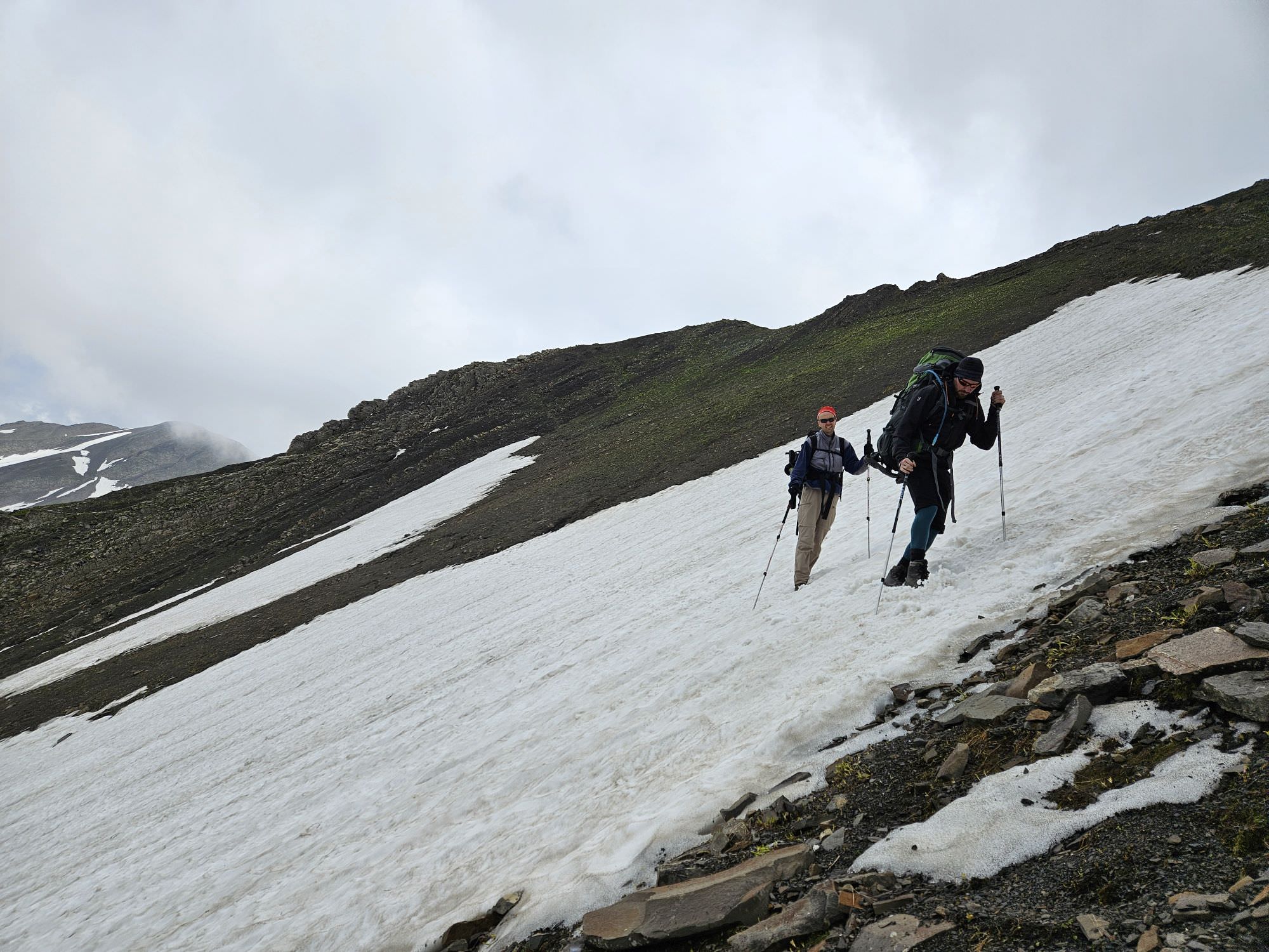
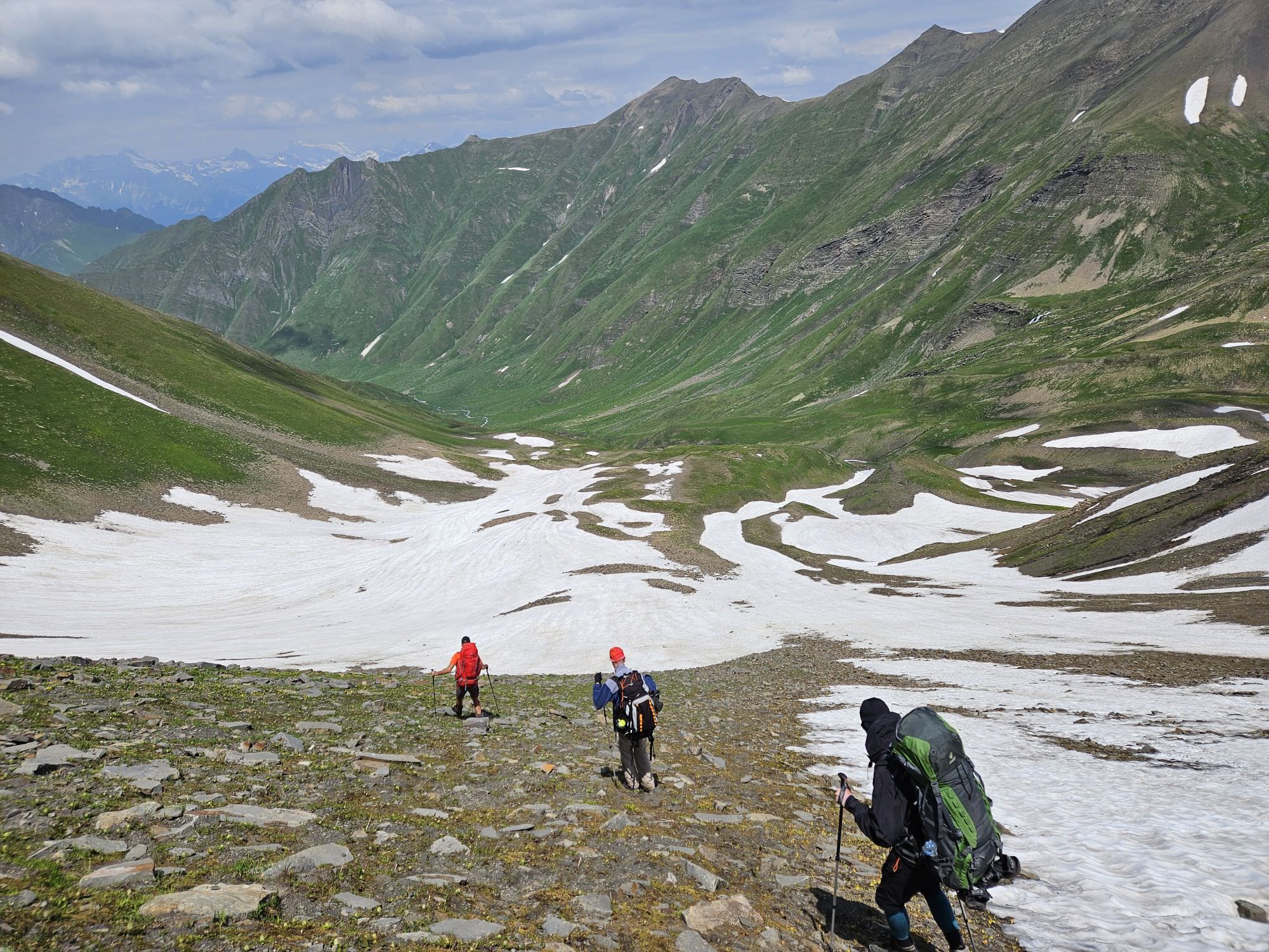
The descent into Kvishok valley is steep, but not really dangerous as long as you watch your step. The worst part was the traverse of lingering snowfields - losing balance here would greatly accelerate your trip to the bottom of the valley. Luckily, only the upper part is steep, after a few hundred altitude meters, terrain becomes totally fine.
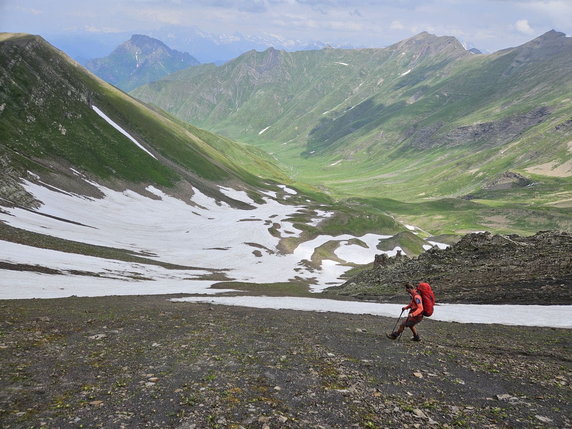
Descent into the Kvishok valley
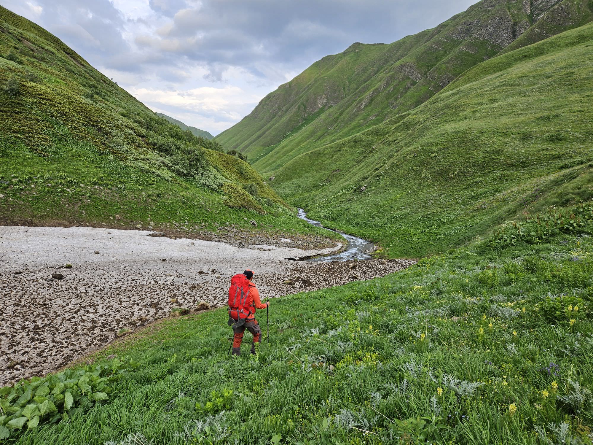
Follow the Kvishok creek, staying on its left bank. The creek disappears into some gorge, so keep walking, staying to the left of it, "as the mountain lets you". When you see that the terrain to the right of the creek looks much easier to navigate, descend to the creek (this part is rather steep) and cross it. We haven't seen any decent camping spots in the valley, even those looking good from the distance turned out to be uneven. Finally, we found a large, base, flat place shortly before the major river bend. There is even a smaller creek nearby - an ideal campsite.
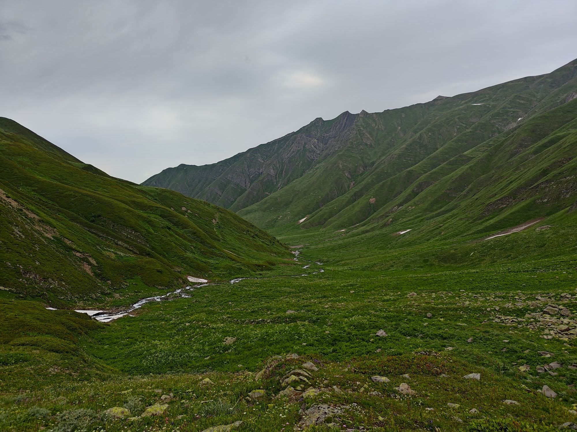
Kvishok valley with campsite visible in the distance (bare spot in the middle)
Follow the Kvishok creek while staying on its right bank. The terrain soon becomes more difficult as the creek enters a rather narrow gorge. For several hundred meters, you will have to traverse a steep, overgrown hillside. The terrain then somewhat flattens, but you will still have to wade through above-waist-tall weeds.
And then, suddenly, a trail appears! It´s faint and obviously saw very little traffic in past decades, but it´s there and once you are on it, it´s rather easy to follow. It will bring you almost to the confluence of Kvishok with Kaseleti river, but disappears again in tall weeds once it starts descending closer to the river. But this is the last bushwhacking, and a pretty short one - once you start following Kaseleti river, the trail reappears.
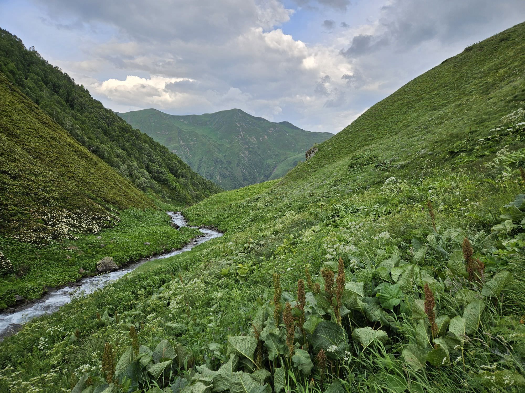
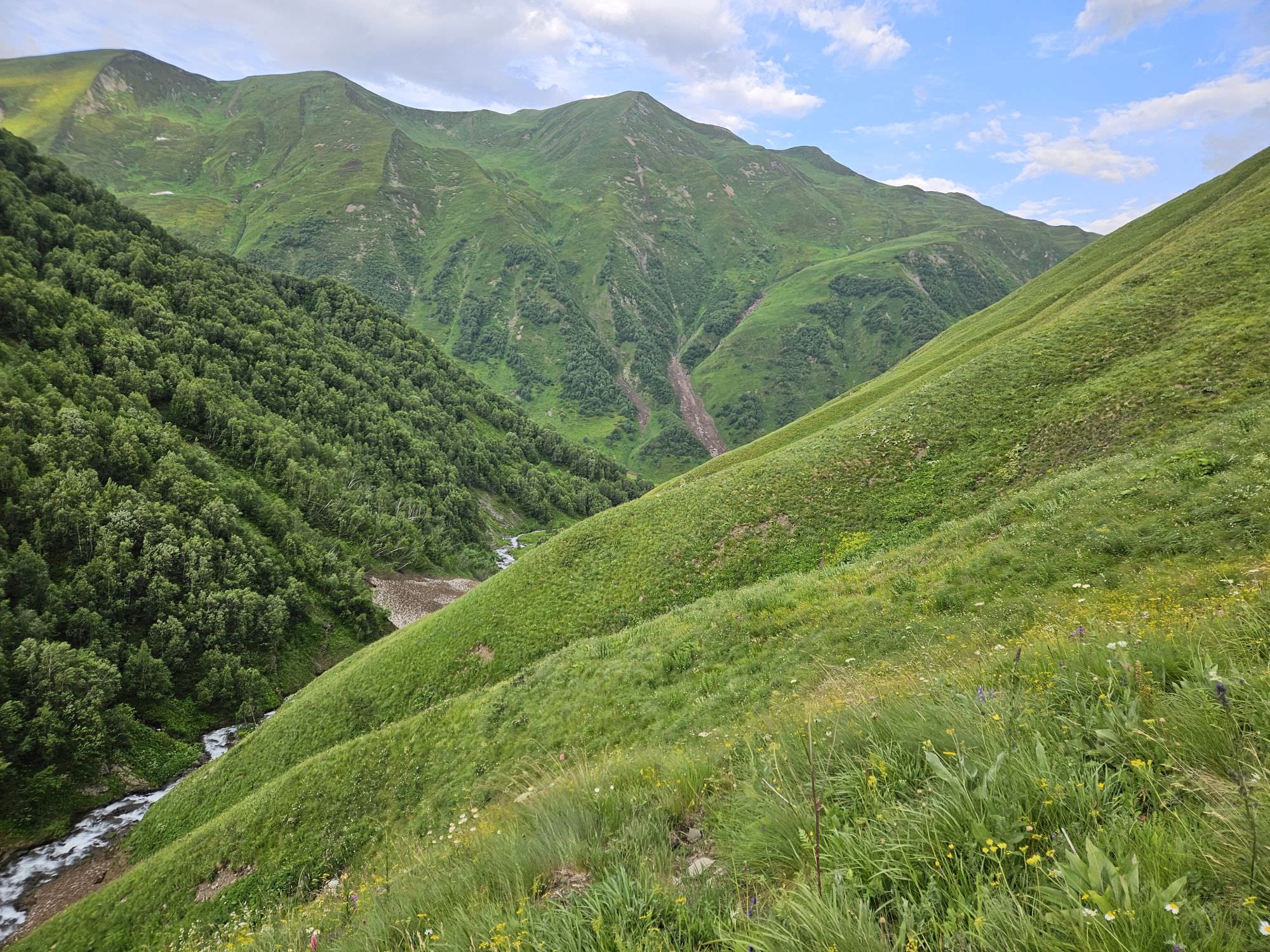
Kvishok valley gets more narrow towards its mouth
From now on, all goes smoothly. The trail is good and you may even spot some "signs of civilization" (cows). Some 30 minutes later, you will reach a plank bridge over the Kheldra river. Right behind it lies the Narika mountain farm - from here, you will need 3 more hours to get to Khaishi.
Narika used to be a pretty large farm, with about 15 families producing milk and cheese during the summer months. Those days are long gone, but you still should find a couple of friendly families. Behind the farm, the trail turns into a dirt track, though still not good enough for cars - locals bring necessities to the farm on horses.
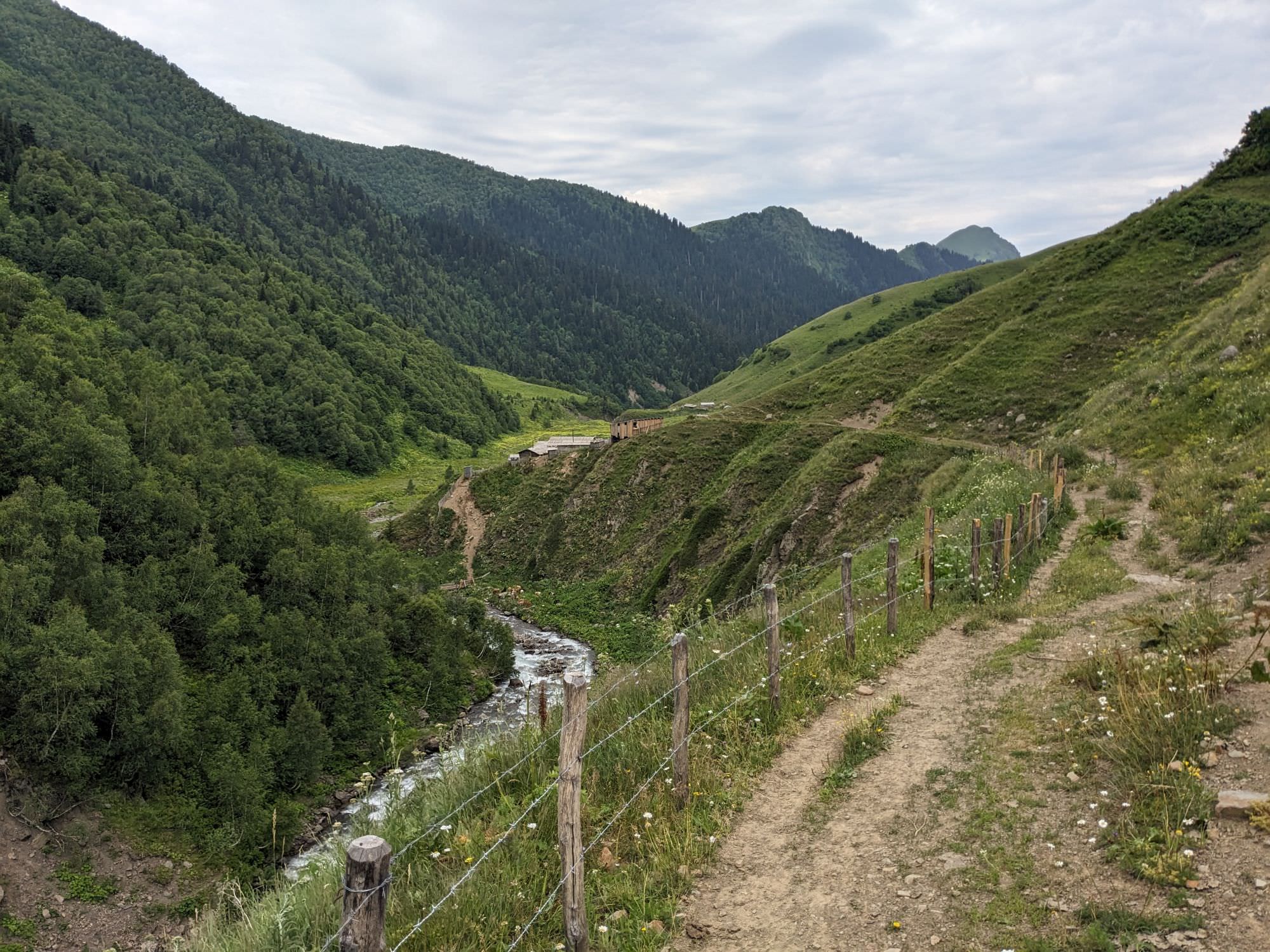
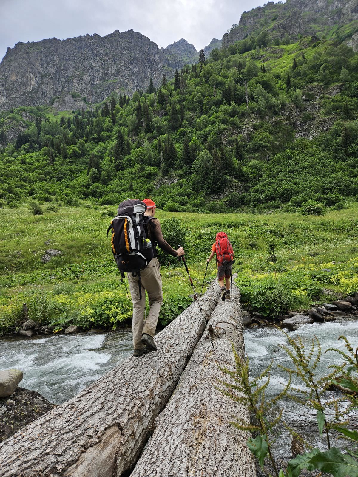
Less than 2km after the farm, the trail crosses to the left bank by a large, sturdy bridge. But you won't stay there long, after a couple hundred meters, another bridge brings you back. From here, it's simple - follow the track, it´s a constant downhill. Still, it's a pleasant walk because the valley is really nice, with numerous rapids and rock formations.
This abruptly ends less than halfway to Khaishi, where you reach the construction site of a new 7,1 MW Kasleti-1 Hydropower Plant. From here, it´s just a hard, beaten road, dust, and pipes lying all around. The construction should end in 2025, but I don´t have high hopes that the environment will be revitalized, it will just need time. But what won´t change is the incline - from the construction site, you still need to lose 800 altitude meters to Khaishi.
Finally, you will reach Zeda Tsvirmindi village and at its end, cross the bridge over Khobistskali river. From here, it´s a mere 20 minutes to the center of Khaishi, where you can finally sit and buy some refreshments. Congratulations - you´ve made it!
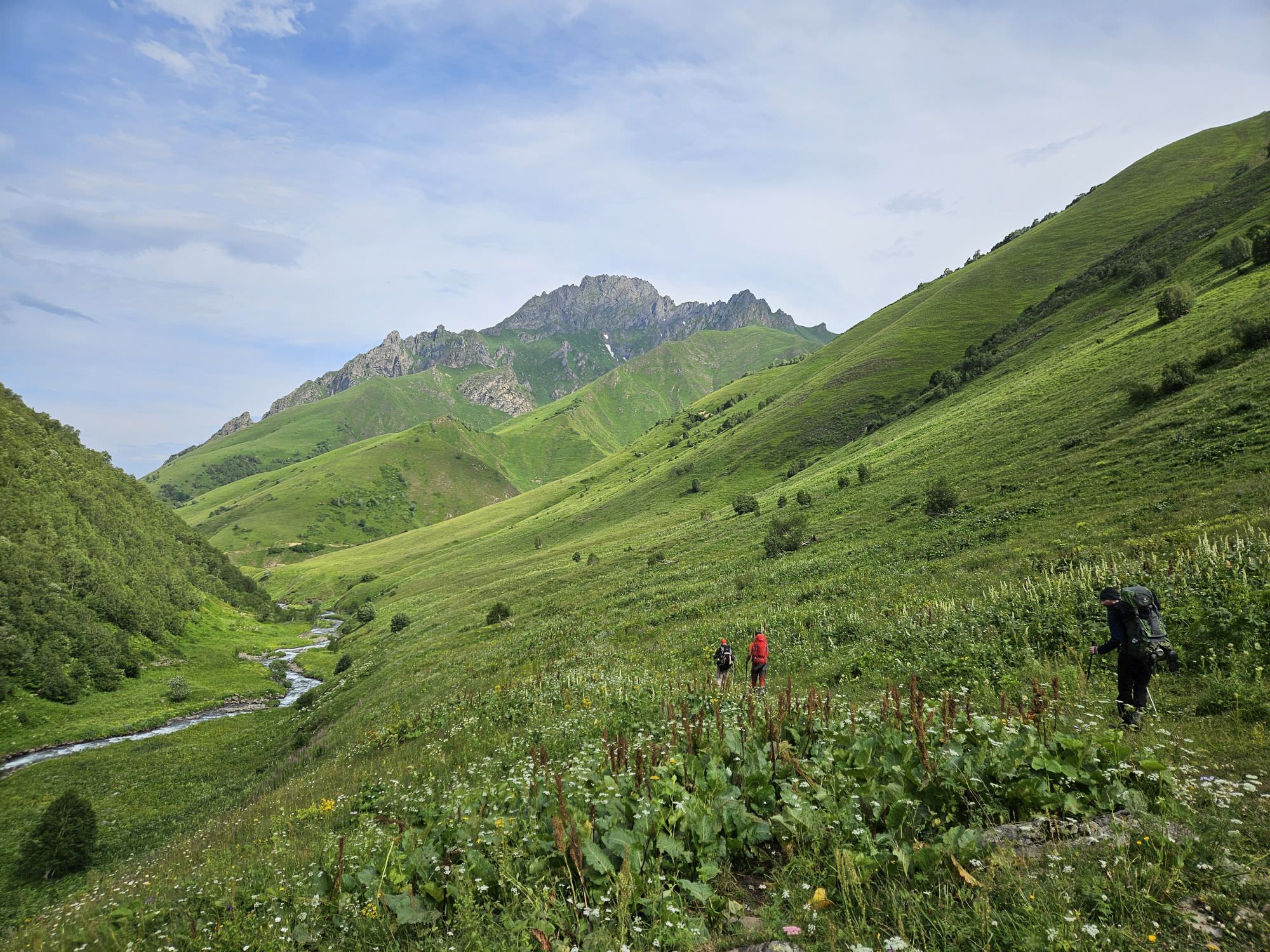
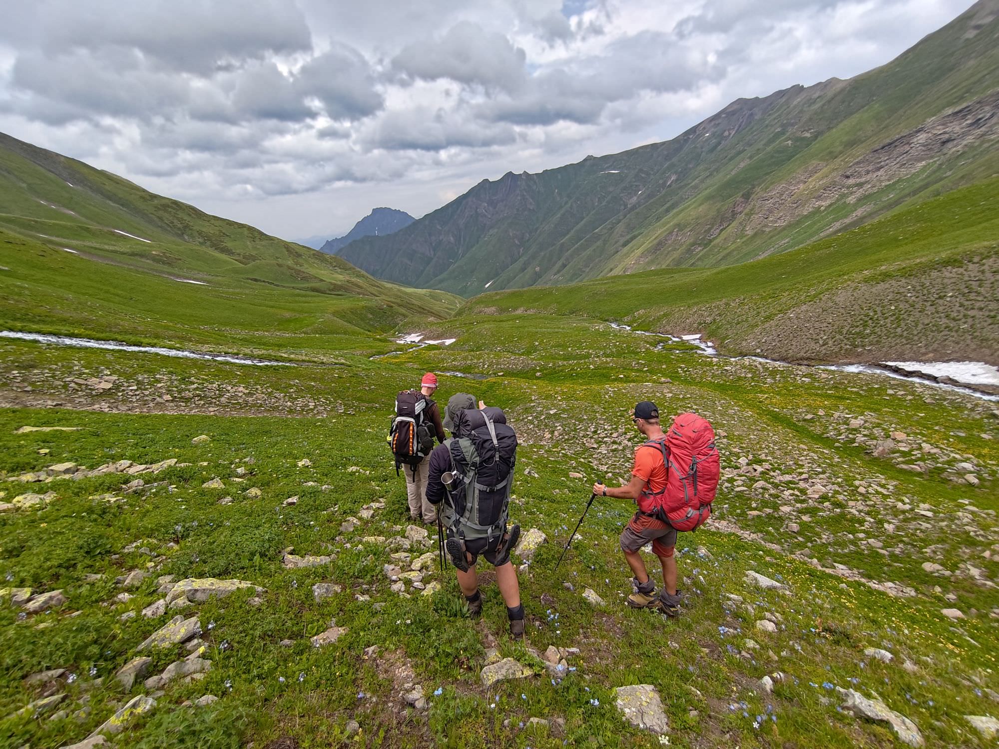
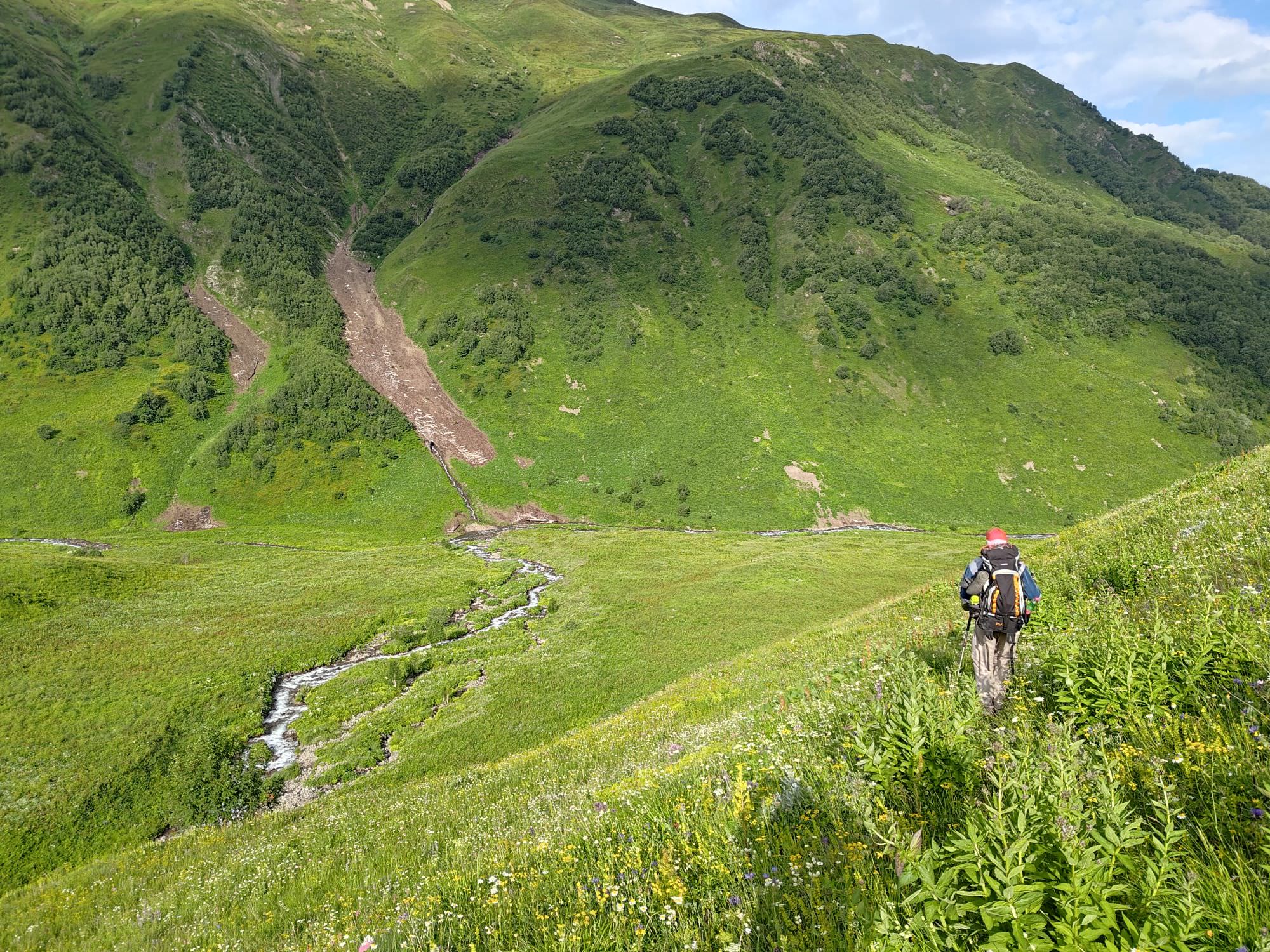
In the Kaseleti valley


