
A pretty solid weekend hike, ideal for trekkers based in Tbilisi.

While this little-known and relatively easy route will hardly attract a foreign vacationeer with a limited time, it is an interesting pick for Tbilisi-based Georgians or expats looking for a nice weekend trip.
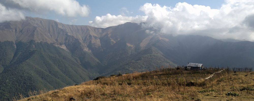
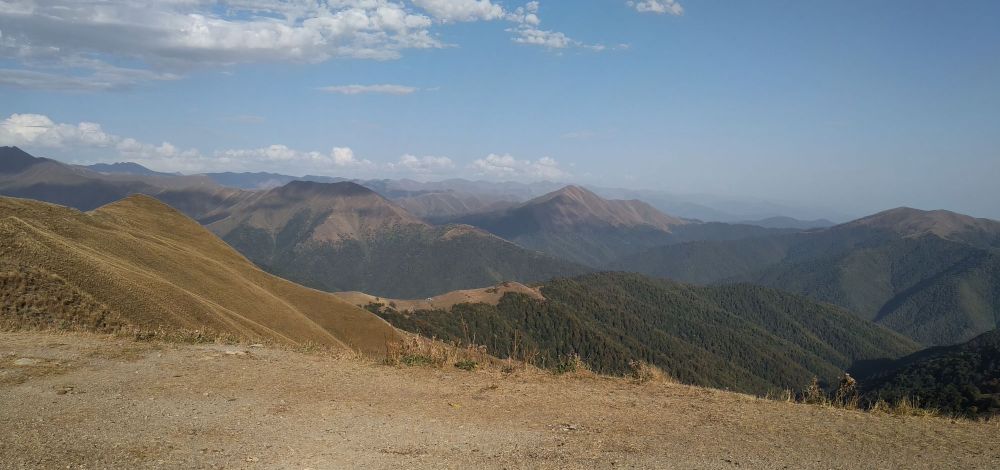
Trek crosses Kartli range that separates Tianeti municipality from the Pshavi commune. Both areas are overlooked by local or international vagabonds, serving just as passing-by-attraction for the people heading to Khevsureti. This particular route offers splendid views of the Iori and Pshavi Aragvi river valleys with adjacent or not-so-adjacent mountains.
Could be a day hike if you watch your time and what’s most important, get early to the starting point (which is a serious problem if you rely on public transport - see below). But even under optimal circumstances, you’ll have to overnight in Chargali, either in a tent or a guesthouse. So it might be better to split it into 2 days.
Even though there’s a significant elevation change and distance to cover, the trek is pretty easy. The route follows the dirt track till the pass and there is a decent trail afterwards. You won't encounter any steep, overgrown or dangerous (landslides, cliffs..) sections. The highest point is at 2250m.
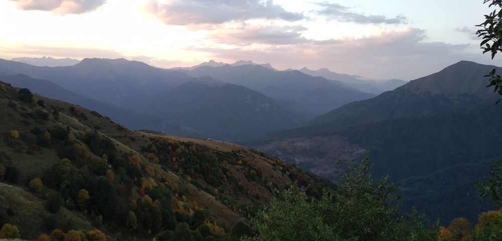
Late spring/mid-autumn would be the best. In the first case, everything is green, less heat and no issues with water. But if you prefer colorful hikes then do it in autumn as the area is surrounded by solid forested massifs.
No doubts here - Artani to Chargali. Both are almost at the same elevation but accessibility to the starting point makes a difference. And, evenj more importantly, if you start from Chargali, you might have to walk an extra 15km to Tianeti.
The problematic part of the trek(consider we did it in mid-September). Theoretically, it’s accessible near three huts you pass, however during severe droughts, they might be dry or in poor condition. The water we were offered by herdsmen in the last two huts was quite unclean and required filtering or boiling. One of them revealed that sometimes they collect rainwater as well. So, make sure to have enough water, not less than 3 liters and bring cooked food with you.
Marshrutkas to Tianeti depart from Didube bus station every day at 10:00 am, arriving at 11:20 - for comparison, marshrutka departs to Chargali at 15:00 which is nowhere near as convenient. The starting point is 15km beyond the town, 1,5km beyond the Artani village. So, search for a taxi at the local bus station/bazaar. They charge up to 30 or 40 GEL for the ride which seems absolutely reasonable and even cheap compared with areas run by mass tourism. Road after Tianeti is unpaved so be ready for bumps.
Marshutka leaves Chargali at 9:00 which is a bit early for my liking but still manageable if you start early - 1,5 hours is more than enough to reach the village from the campsite. If you are late, no need to worry. Just walk another 2km and try to hitchhike at the Tbilisi-Shatili road. Also take into account that marshrutka schedules change quite often, especially in the summer season, so check it before you go.

Iori river valley and surrounding mountains
| Distance | 19.6 km |
| Trail type: | AB trip |
| Max. elevation: | 2252m |
| Min. elevation: | 1170m |
| Total climb: | 1430m |
| Total descent: | 1481m |
The trailhead lies on the western bank of Iori river some 1.5km beyond the Zemo Artani village. A dirt track separates from the main road to the left, into the forest. Then it follows the creek, crosses it after two kilometers (this is the last chance to fill up the bottles with 100% guarantee) and climbs annoying serpentines. After reaching an open area, track becomes more or less straightforward and heads westwards, gradually climbing the slope. Soon the first abandoned-like hut will appear on the left side and another one in front after 1.5 km of walk just before the final longer switchback till the nameless pass.
Once you get on the small saddle at the top, the trail splits. The left branch drops into the valley in the western direction, but you should follow the top of the ridge to the north for another 300 meters to the another split - the Putkaruli pass (2270m), the most important crossing point of the Kartli range.
The tempting trail follows the top of the ridge to the north, but you need to turn left, onto a smaller ridge branching to the west. The trail then gradually approaches the bottom of a small valley - soon, you will reach another shepherd hut, a very welcoming nomad family resides there. Cross the stream (in autumn, there is a large chance it will be dry) and follow the trail on the mountainside going north which will bring you to another ridge and from here starts descending westwards.

Campsite by the hut visible ahead
The last 2 huts standing next to each other will emerge in the distance soon, one of which, equipped with two beds, served as an overnight shelter for us (tho you can also build tents here). Two local hospitable sisters are herding cattle there.
From this sleeping spot, continue your way downwards strictly north. During the first 300 meters through on grassland, the trail is a bit faint but gets better quickly. Follow the trail till the village and decide what to do next. You might have to hike a bit further to the main road and try to catch a ride to Tbilisi. However, if you have some time to spare, you shouldn´t skip the museum of the most famous local, poet/writer Vazha-Pshavela.

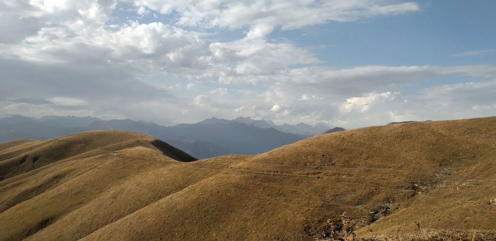
At the Putkaruli pass, Chaukhi massif visible in the distance
The trail was hiked by Alex, local backpacker and trekking guide, who also provided pictures, gpx and the hike description. Thanks a lot!


