A report on the trek to the Tobavarchkhili lake in the Egrisi mountains. Takes classic trail from Mukhuri, but includes also a small detour from the usual trail.
The trip was taken in 2019 by four Belgian friends, who went to Georgia to hike the Tobavarchkhili 5 day trek and the Mestia - Usghuli trek. Post itself is written by Jasper, a hiking enthusiast who also runs his personal hiking website hikeheaven.com.
GETTING TO THE TRAILHEAD
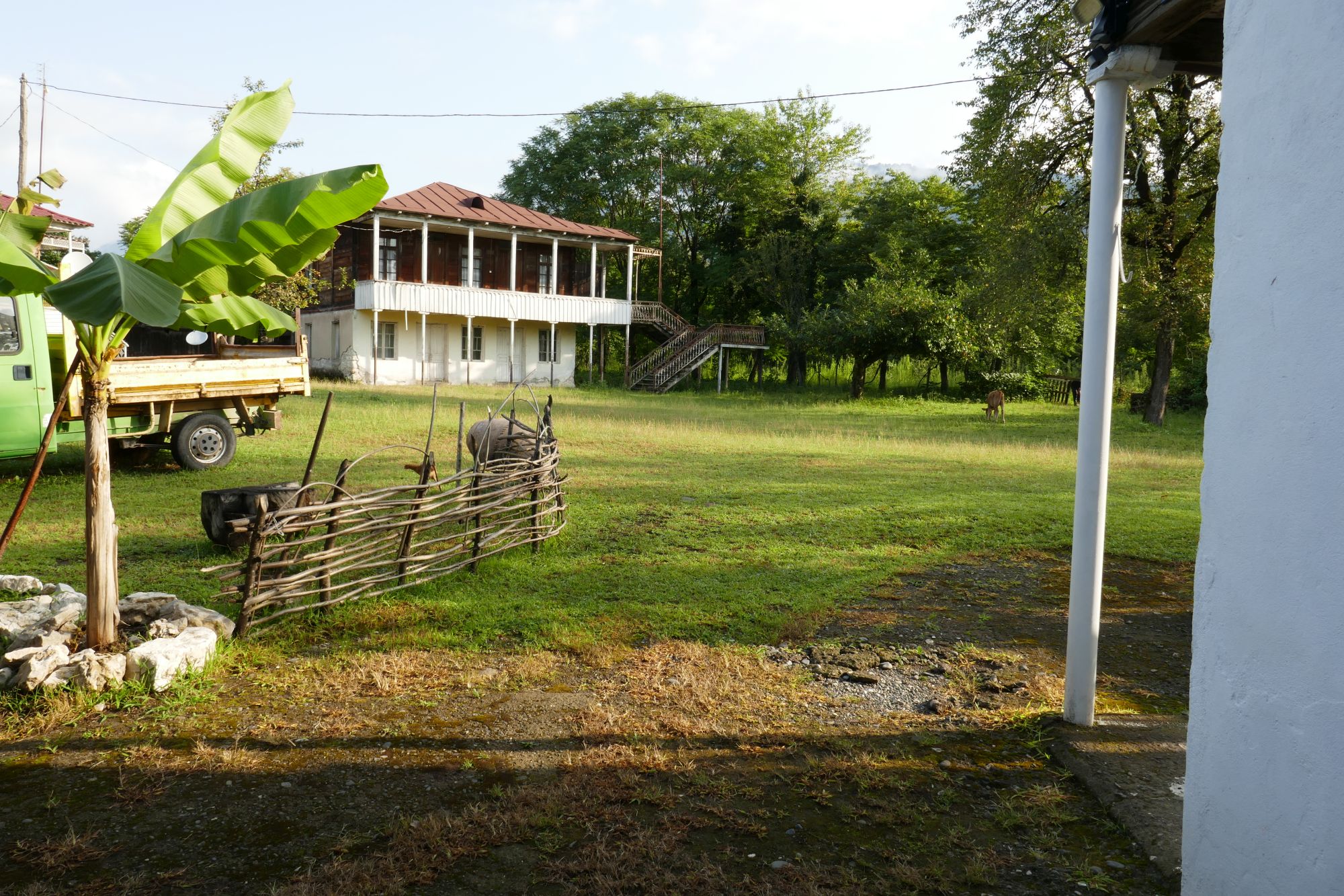
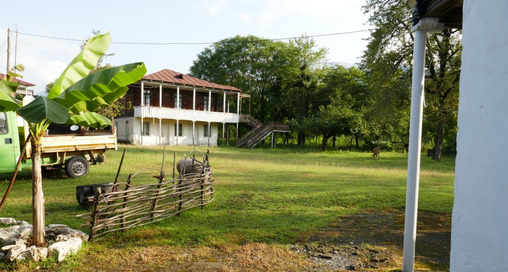
The first challenge was getting to the trailhead. We landed in Tbilisi, took a long cab drive to Kutaisi, had a great evening/night there... and eventually made our way to Mukhuri. Spent the night in a very basic room, but the setting was pretty idyllic.
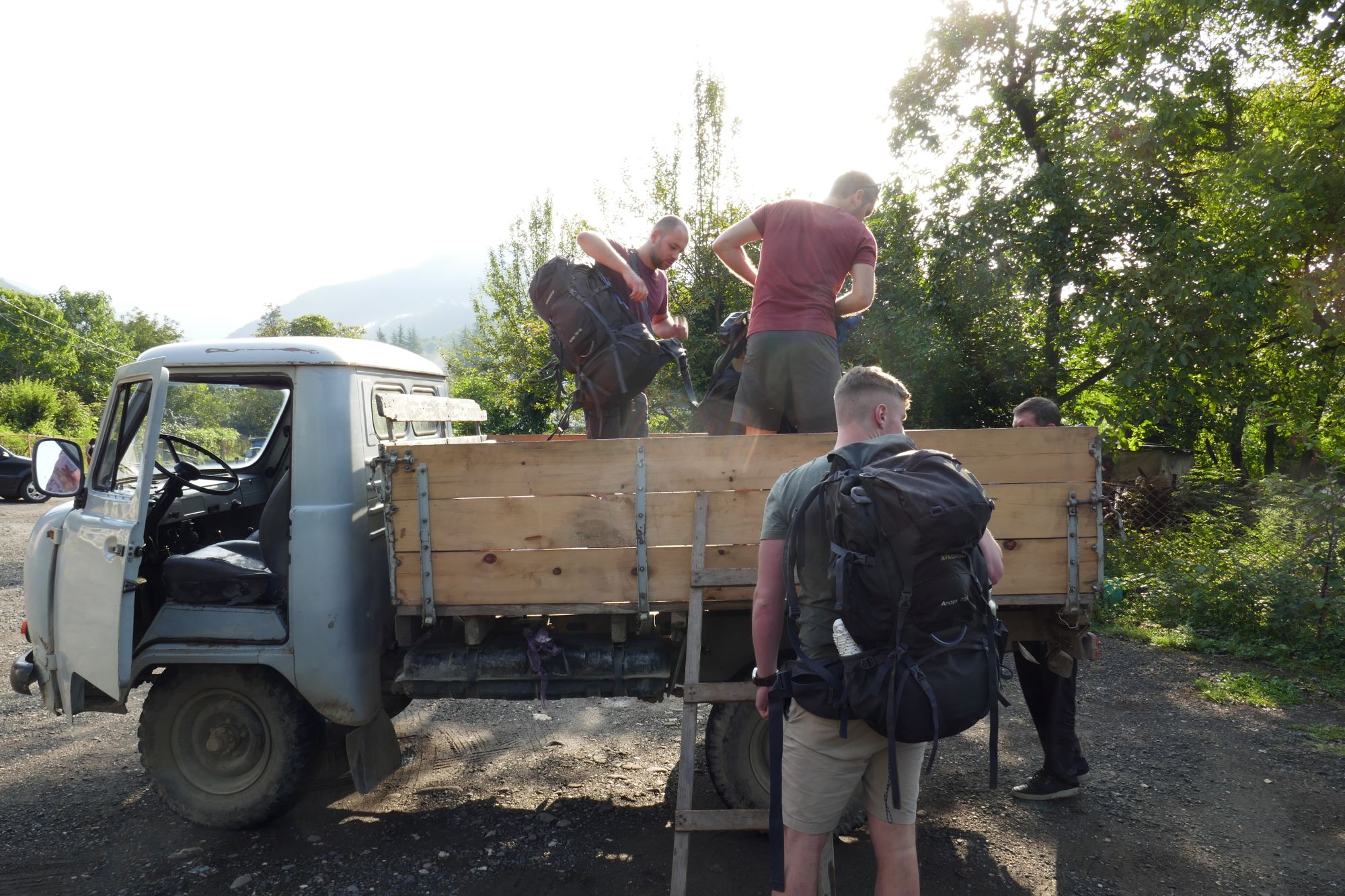
We decided to arrange a truck drive to Natipuru hut because this part didn't really seem to be the particularly interesting hike. Also, starting our vacation by climbing 2000+ m in a single day wasn't something the entire group would agree upon.
It cost us 350 GEL, which seemed expensive, considering Georgia isn’t really an expensive country. However, for us, it was worth it. Our driver seemed excited and brought us a bottle of homemade wine (which is a big thing in Georgia) the evening before we departed.
The next day we woke pretty early and got ready for our luxury, carefree cab drive to Natipuru hut. From there, it would only be a short and easy hike to our first camping spot. At least, that’s what we thought.
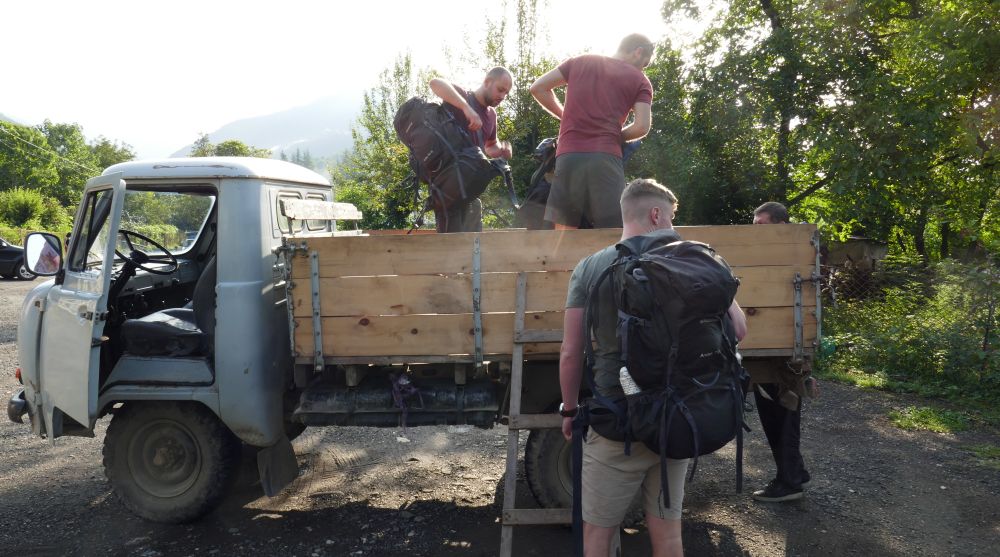
Along the way, locals jumped in and out of the truck, it seemed like we were not the only passengers. However, only 2 other men actually had to get to Natipuru hut, they turned out to be shepherds who stayed in the mountains somewhere close by.
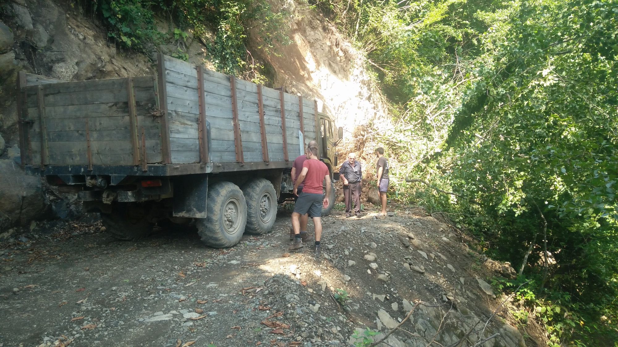
Somewhere in the middle of the drive, we got surprised by a sudden roadblock. A huge tree had fallen over the road. Our truck driver, went to get some help -there were people working a somewhere nearby who had a bigger truck.
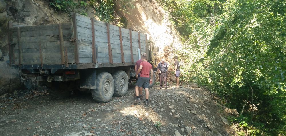
This larger truck was able to drag the tree out of the way. After that, we still had plenty of work clearing the road because a lot of smaller branches, rocks and dirt were still blocking the road. After an hour or so, we were eventually able to move on.
The rest of the road we did not encounter any more trouble and a while later, we reached the end of the road - which was pretty close to Natipuru hut.
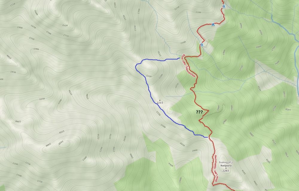
LOSING THE TRAIL
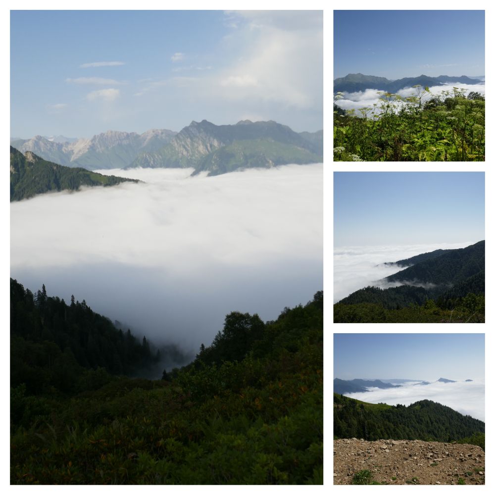
After taking our first steps, we realize that the sudden change in altitude isn’t making this easier on us. Also, the fact that we aren’t too athletic isn’t helping us either. However, we slowly make our way towards the small crossroads with the tourist marker. While enjoying our first views over the mountains.
Up until this point, it was easy to follow the trail. However, after this point we start to follow a dirt road where we should be able to spot a small trail on our left, going into the forest. The only problem, we were completely unable to find it.
We walked that road up and down multiple times, knowing that there should be a trail somewhere, but it was simply unfindable at that point. This was the last time we ever went into the mountains without a GPX :).
THE ALTERNATE ROUTE
Not really knowing what to do at this point, we had to make a decision. We didn’t have a gpx file and also no reception. Eventually, we decide to go back to the tourist marker and follow a different direction. This time, we go around the mountain on the left side, following a faint trail.
At the very least, we knew that the 2 shepherds followed this trail. We figured that we might be able to ask them for directions on how we can rejoin the trail. That is, if we can find them, of course.
Looking back, we did get pretty lucky here. We did manage to find the hut of the shepherds and they did explain how we could find the trail again (mainly by pointing over a nearby ridge - language is still a barrier).
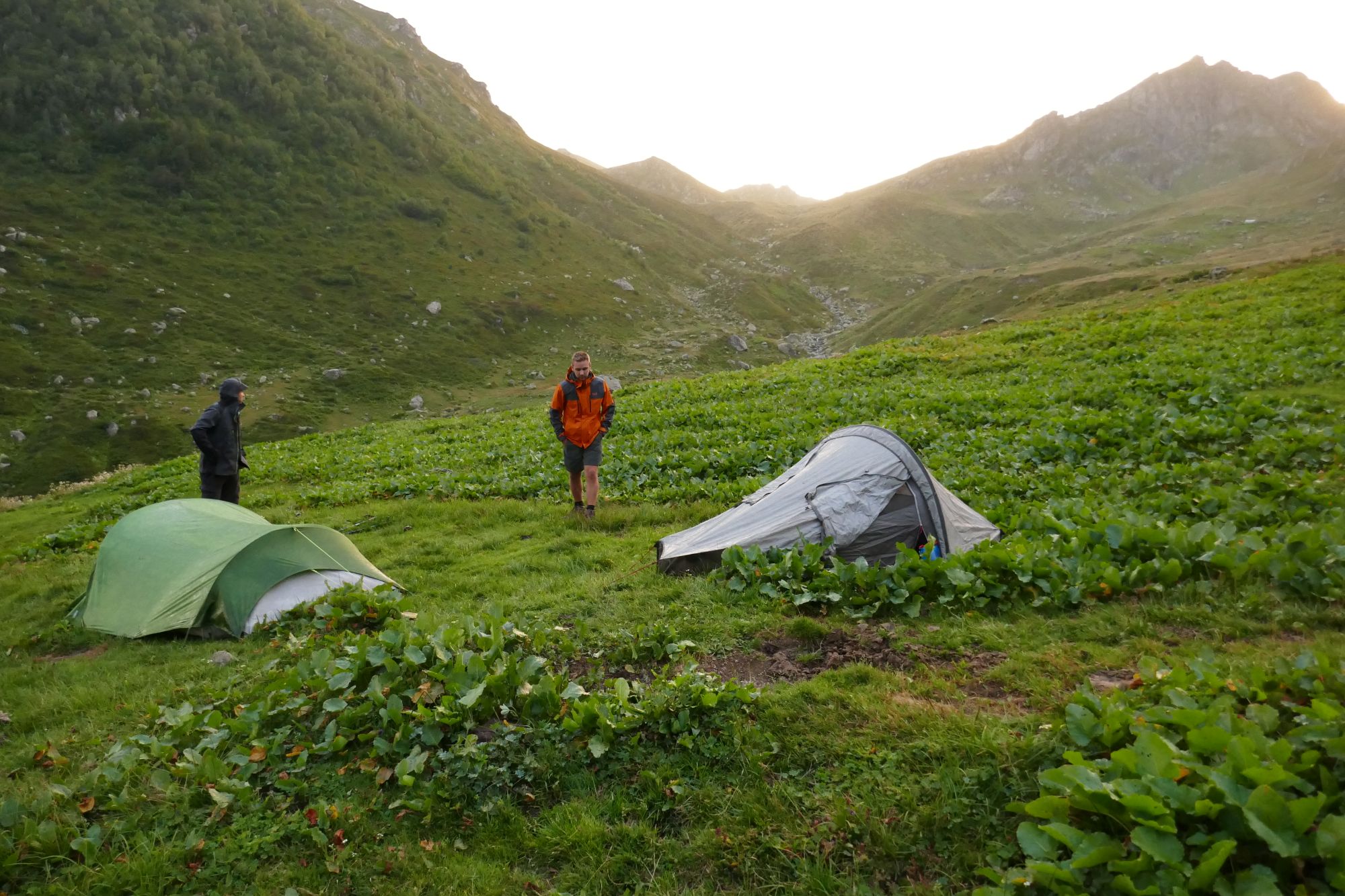
The shepherds are friendly towards us (I think they appreciated the fact that we helped with the clearing the roadblock) and suggested we pitch the tent near their hut. It was getting late, and the day was exhausting, so we were happy with this suggestion.
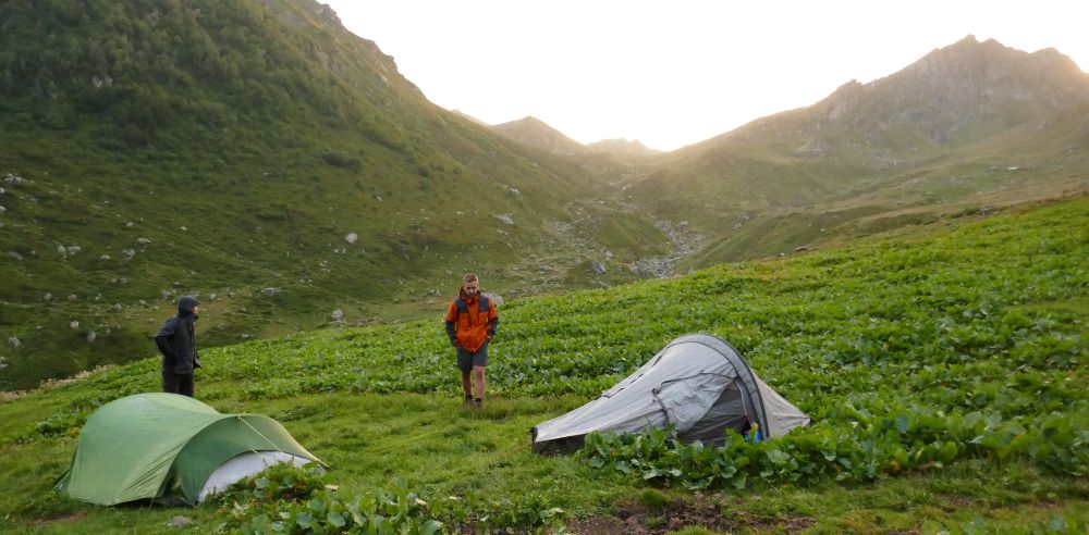
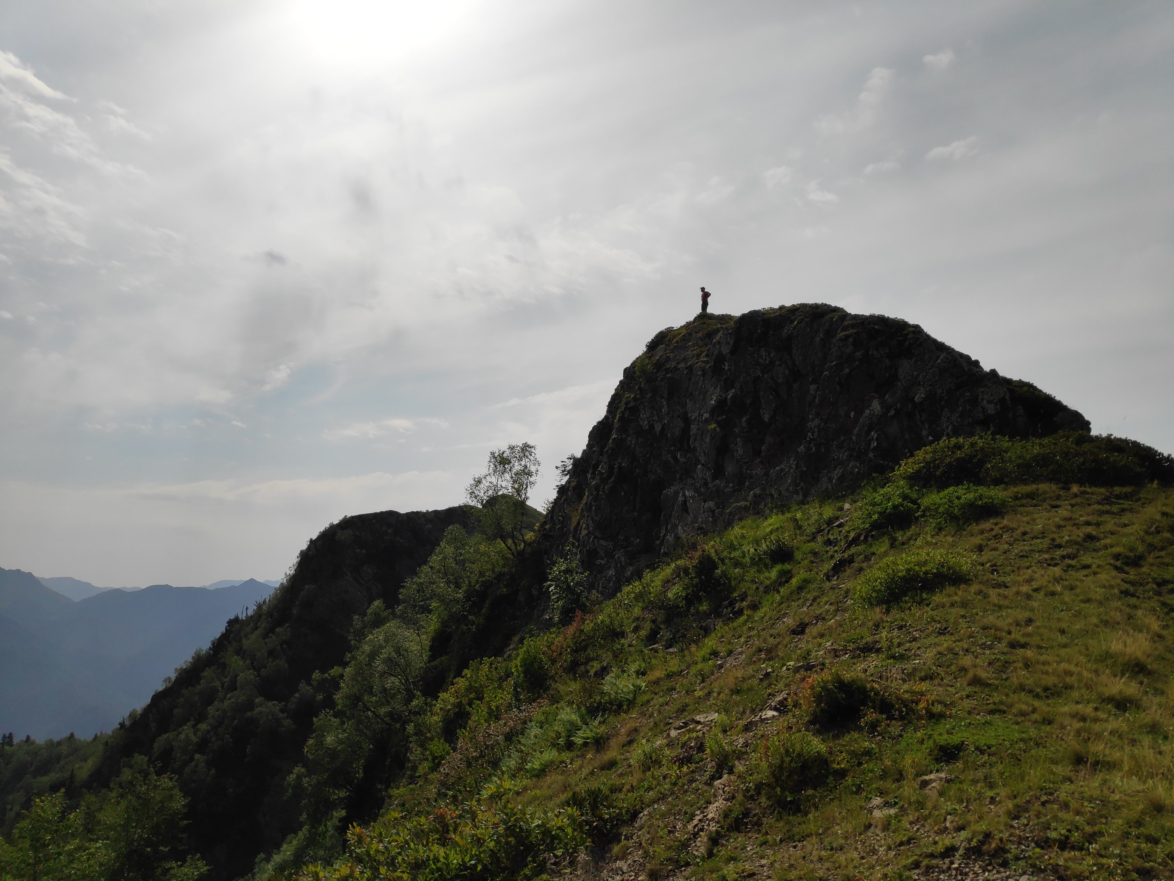
The next day, we left with renewed energy to climb the ridge. We didn’t really get much information, but we figured that we should be able to follow a trail that would lead towards our planned route.
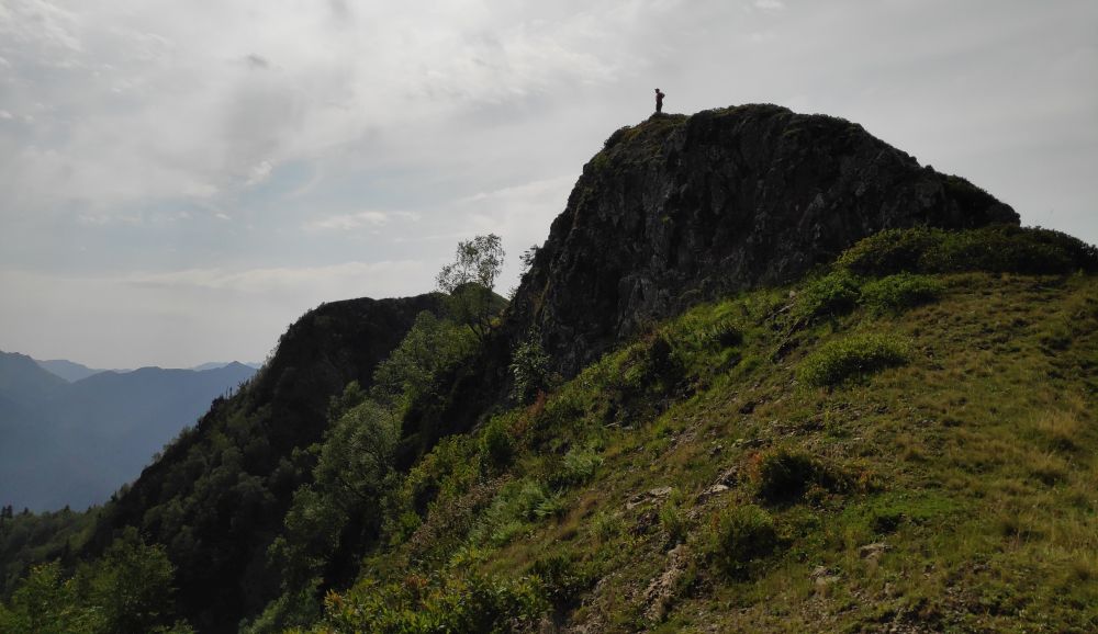
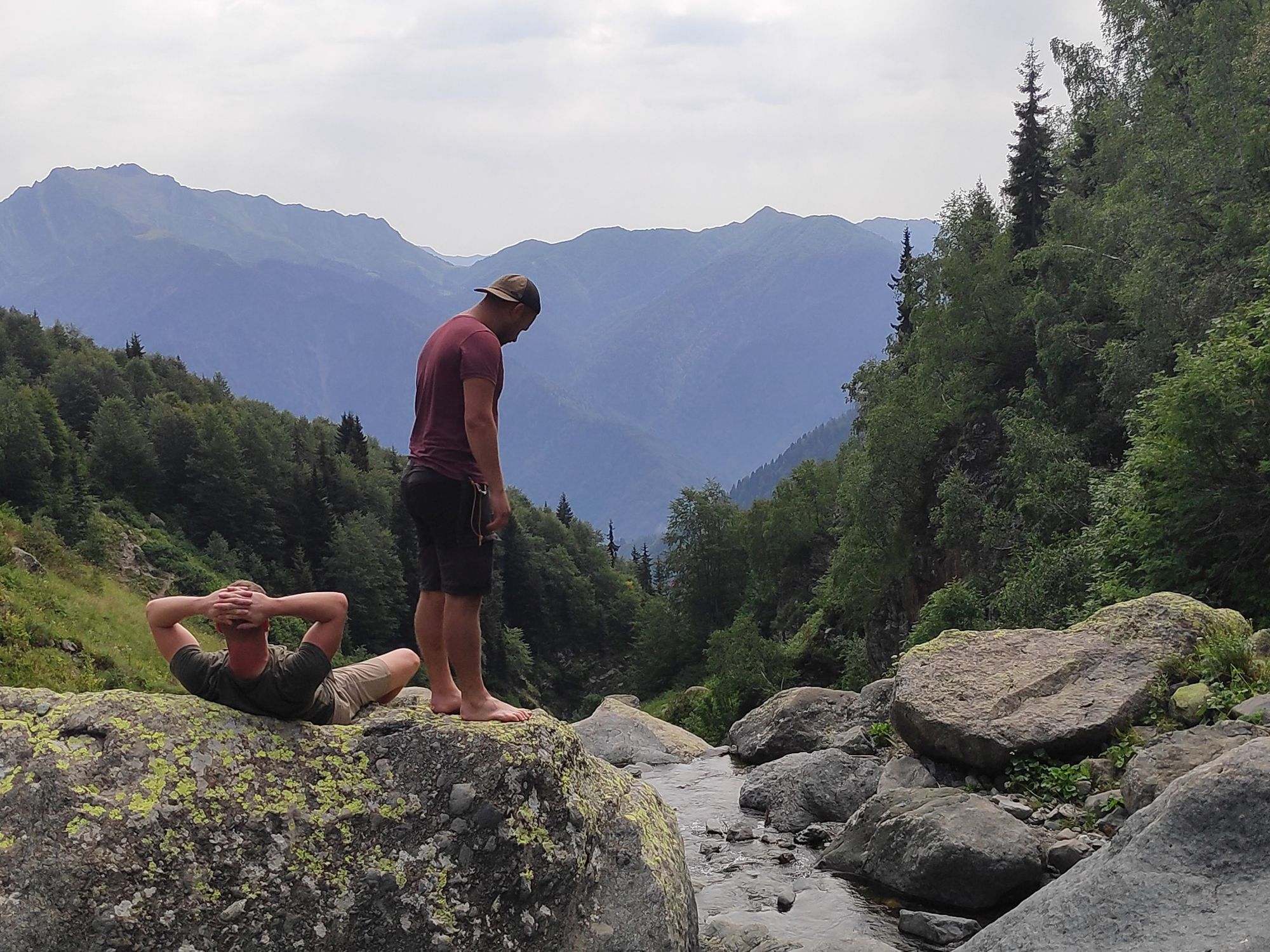
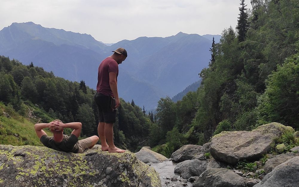
After reaching the top of the ridge, we find a small trail. It’s very faint and disappears from time to time, but it’s still fairly easy to follow because there are no side routes or anything. We do cross a small waterfall, where we decide to stop for an early lunch and enjoy the view.
The last part of the alternative route is pretty straightforward, and not much later we stumble upon the hut that is described on the trail description of the Toba trek. We are pretty relieved to be back on track.
GETTING TO TOBAVARCHKHILI LAKE
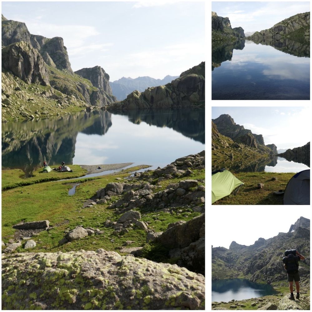
Now that we are back on track, we start to make our way to Okhoje lake. This is the first lake we get to see on this 5 day trek. However, before we get there, we have to do a pretty big climb.
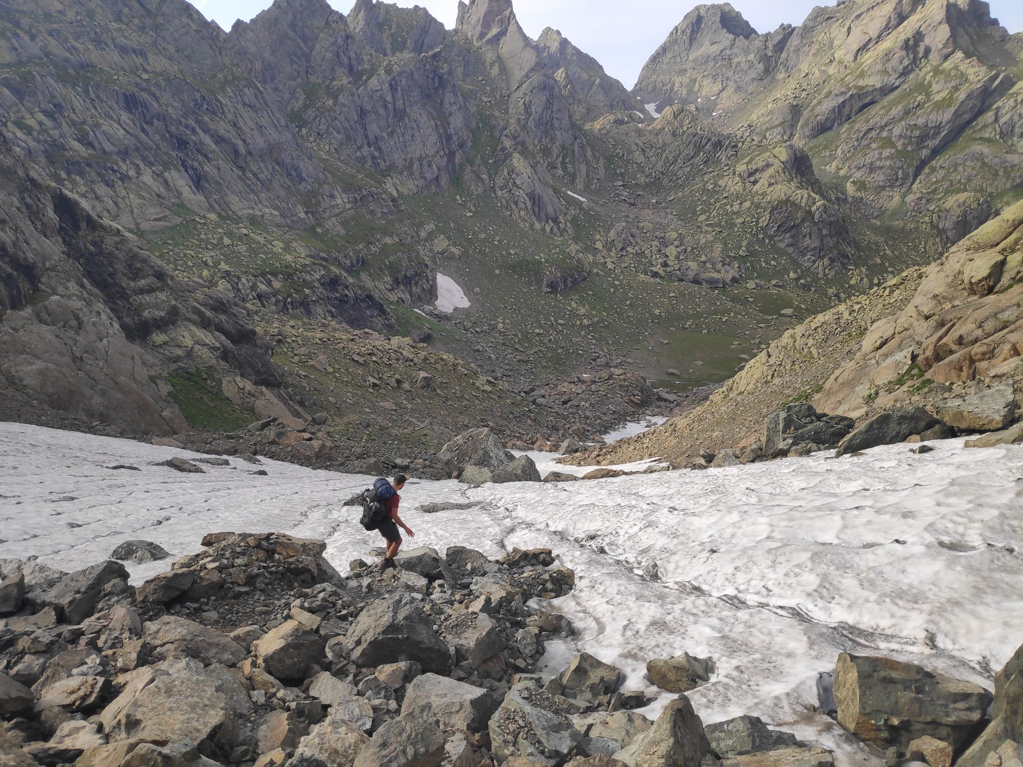
When reaching the top, we also realized that getting down wasn’t as easy as expected. It’s pretty steep and large parts are covered in snow and ice. However, certain parts are also thin enough so it wouldn’t carry our weight.
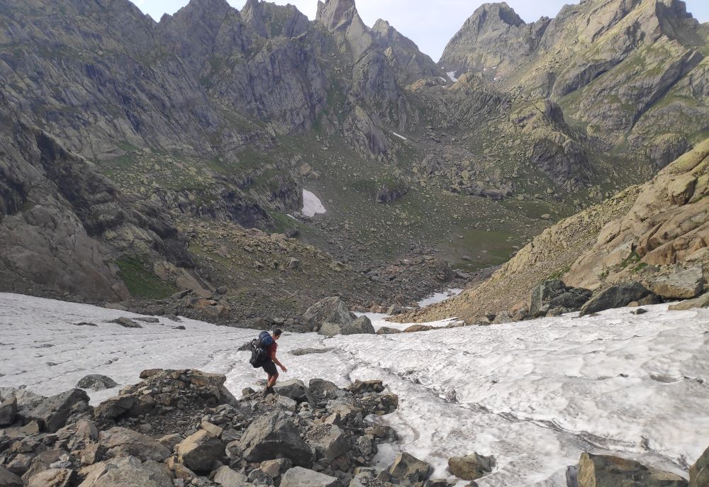
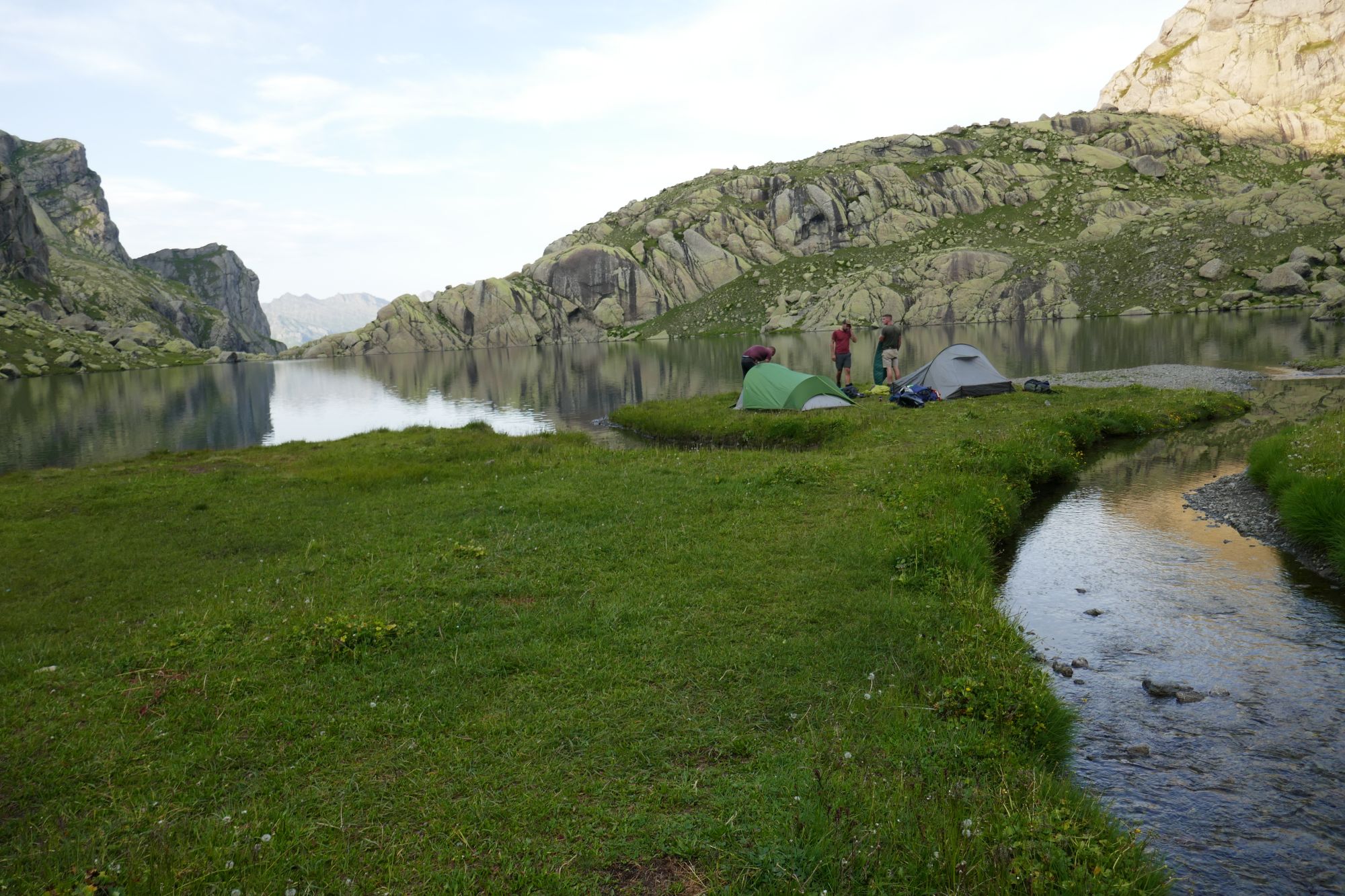
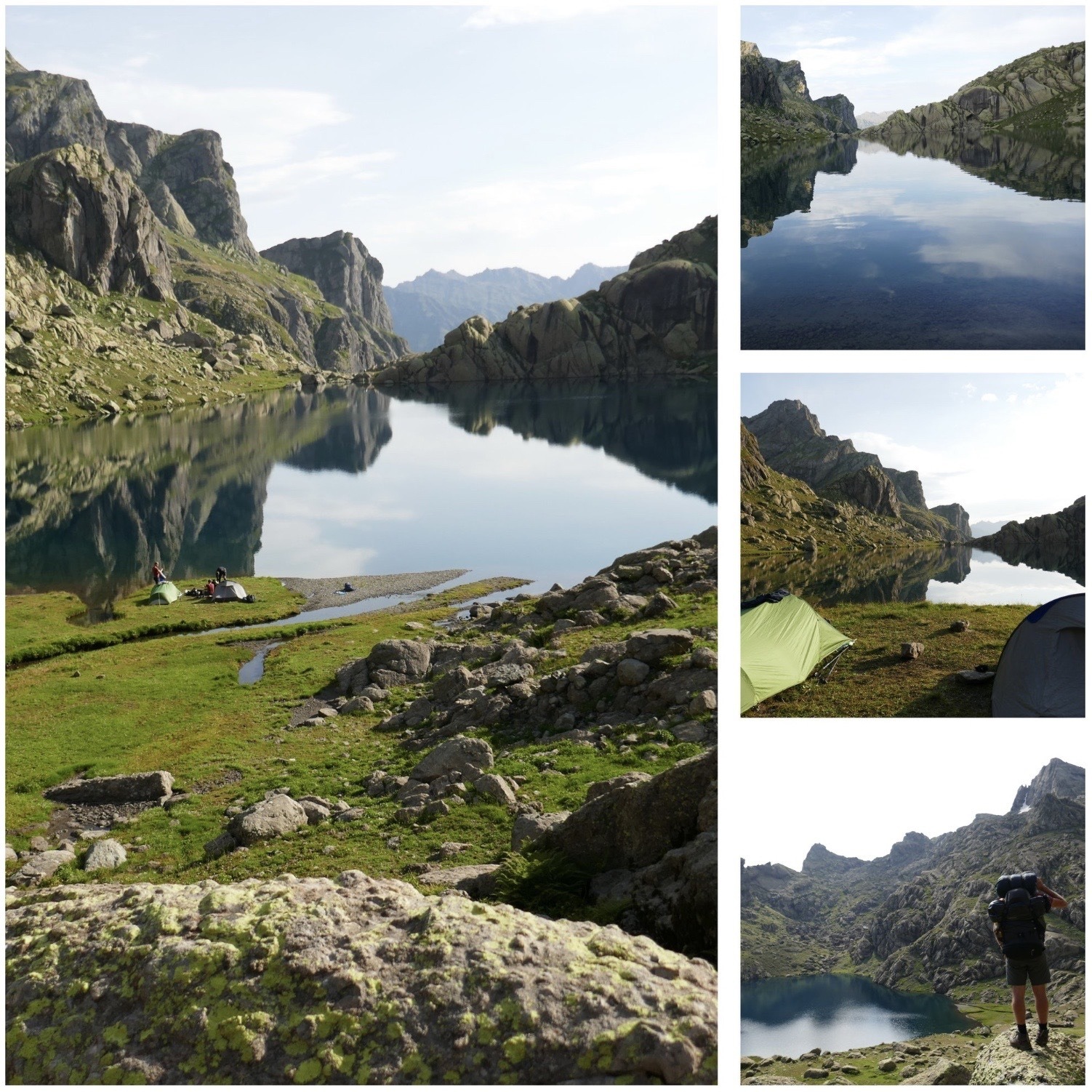
In the end, it wasn’t that difficult, but we did take our time and had to be cautious. When finally reaching Okhoje lake we were all pretty tired, it was also getting pretty late. Therefore, we decided this was a good place to spend the night. I mean, this really is a good place, right?
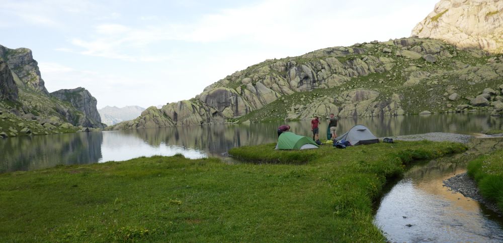
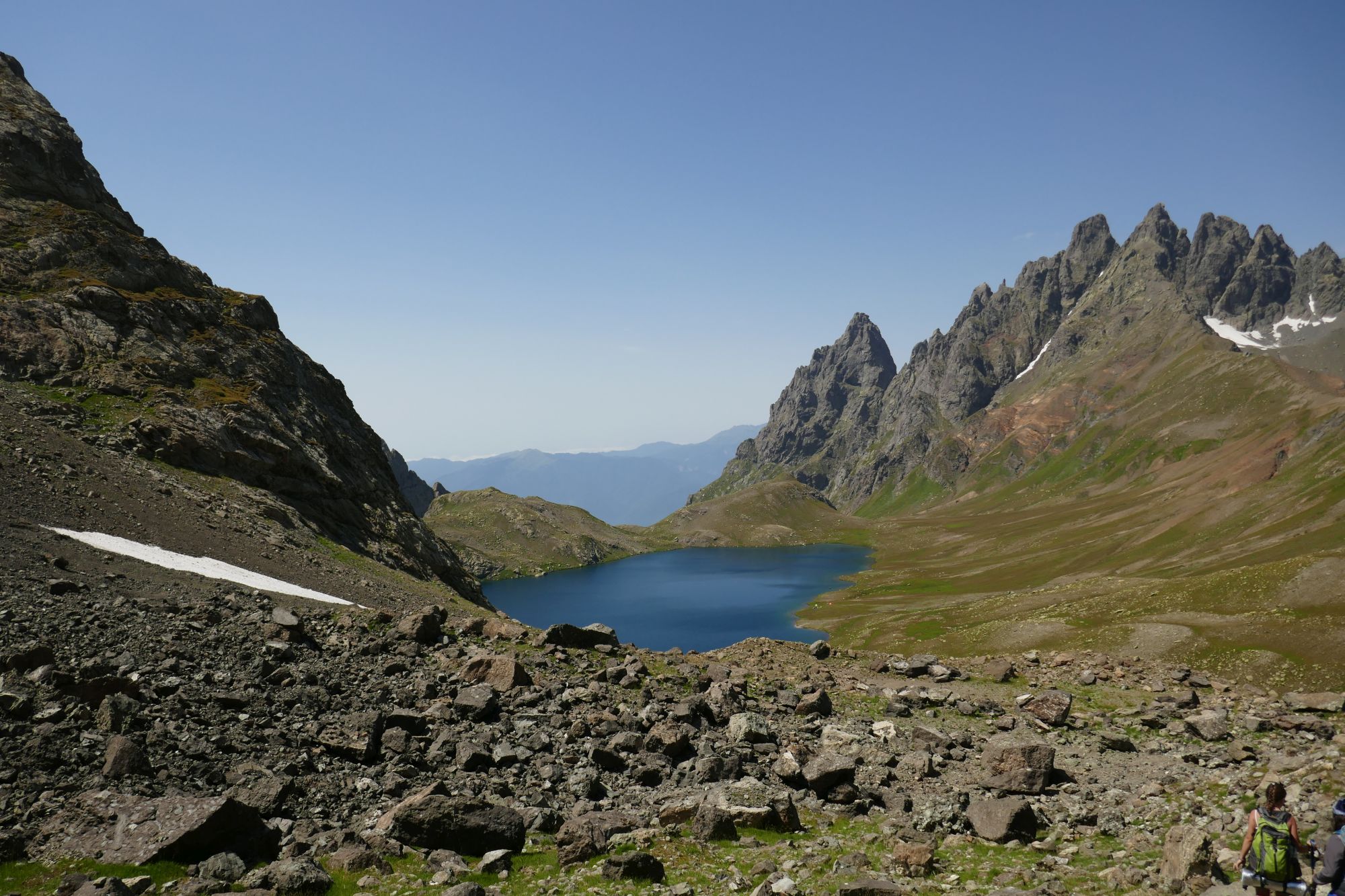
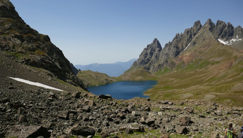
The next day, we are not in a hurry. It’s only a short hike from Okhoje to Toba lake. We take our time to soak in all the views along the way and around noon we eventually reach Tobavarchkhili lake.
The rest of the day we had some well-deserved rest, took a swim, read a book and enjoyed a drink. Not the most eventful day, but definitely a day well spent.
A couple of words on the alternative route
- This route is probably more scenic than the forest trail, however, the views of this route can’t compete with what you get to see at Okhoje lake, Toba lake, Kailashi lake, Natachtish-Dudi pass, etc.
- Walking from the camping spot at the shepherd's hut to Tobavarchkhili is a very demanding hiking day - at least for hikers like us (not very athletic). We decided to camp at Okhoje lake instead, which is also a very nice camping spot, by the way.
- If you do decide to take this route, it would be helpful to deliver a GPX log to Jozef - as is asked on the trail description guide.