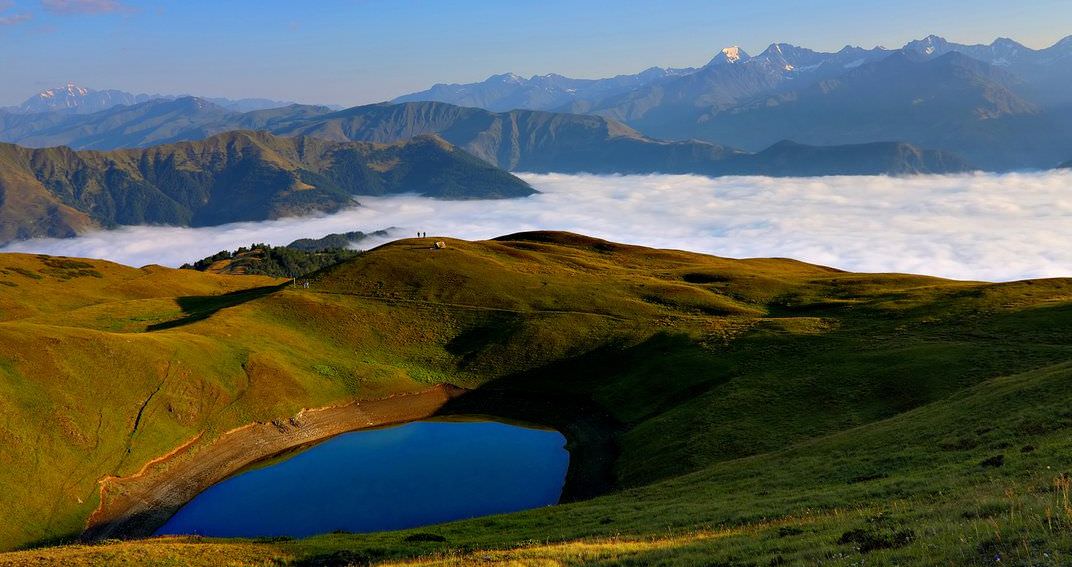
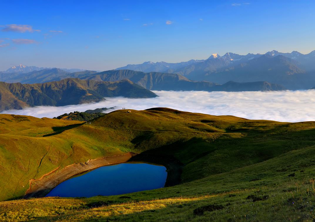
Difficult hike to a small mountain lake offering great panoramic views of Tusheti.
This walk takes you to Oreti lake, nestled on the mountain slopes south of Omalo. From the lake, you will have great panoramic views of whole Tusheti.
Just keep in mind that the water level of the lake varies during the summer. The ideal period to visit is the early summer, if you come in September, you may find only a muddy hole.
Photos of the lake I used were taken at the end of July.
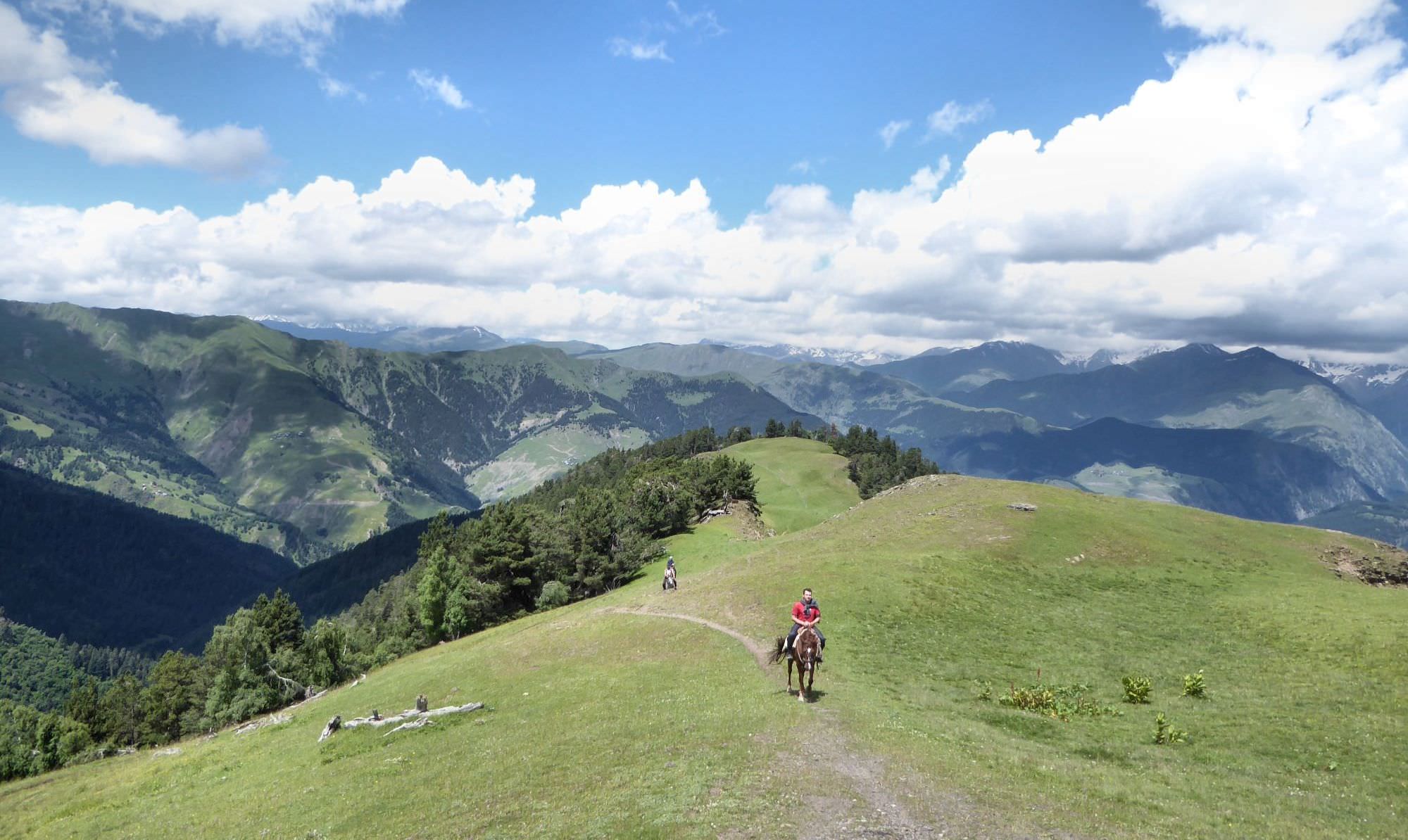
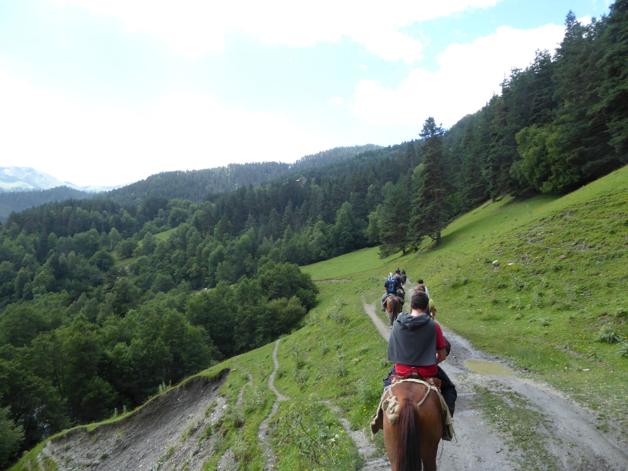
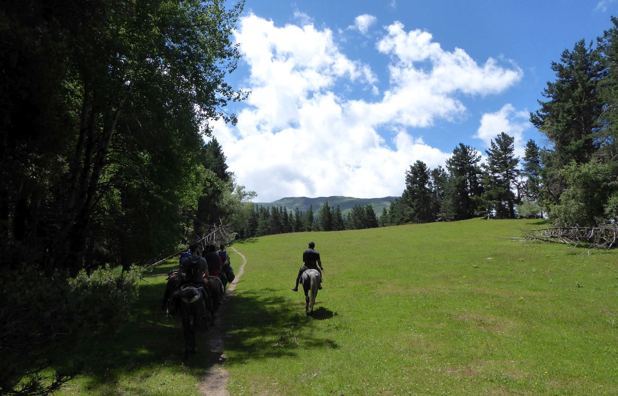
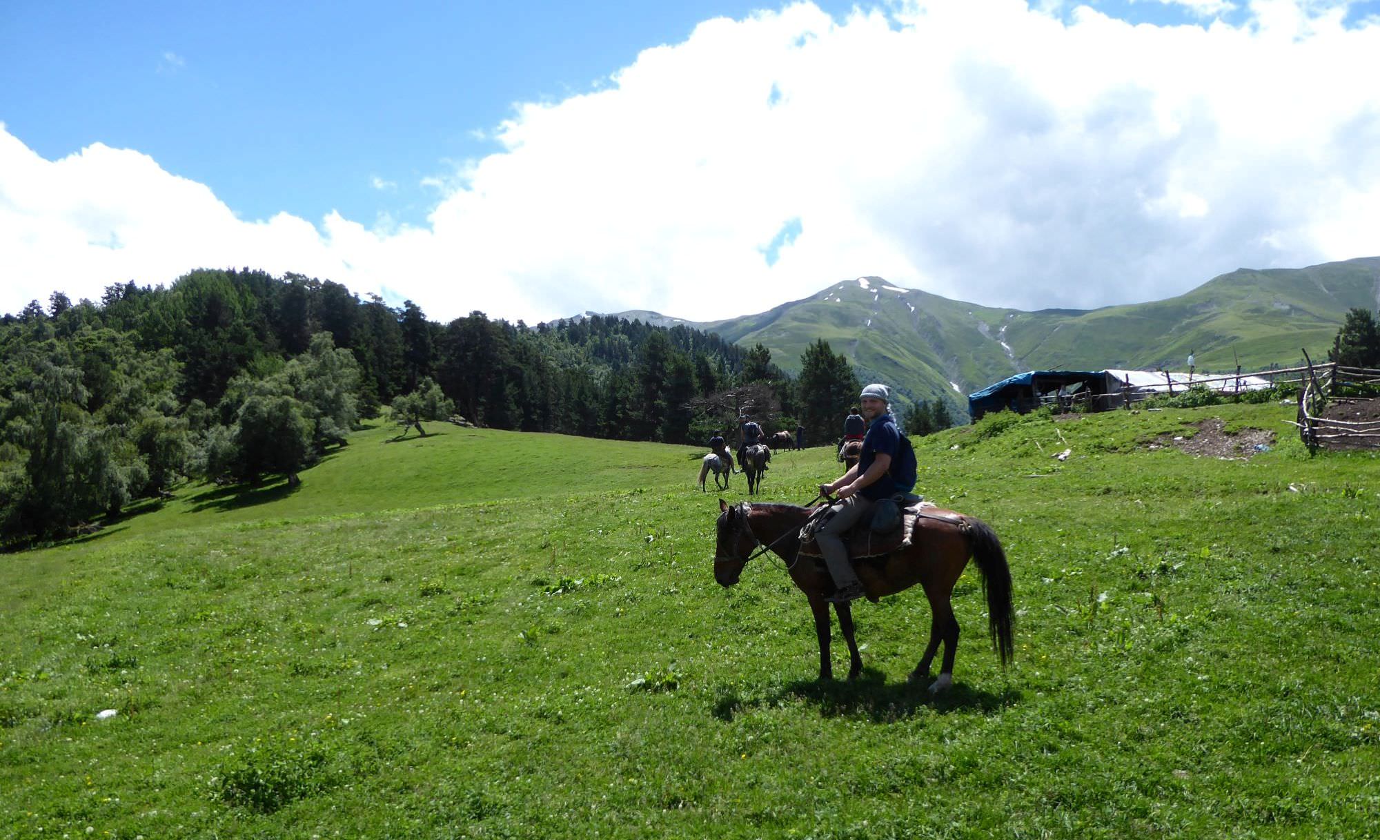
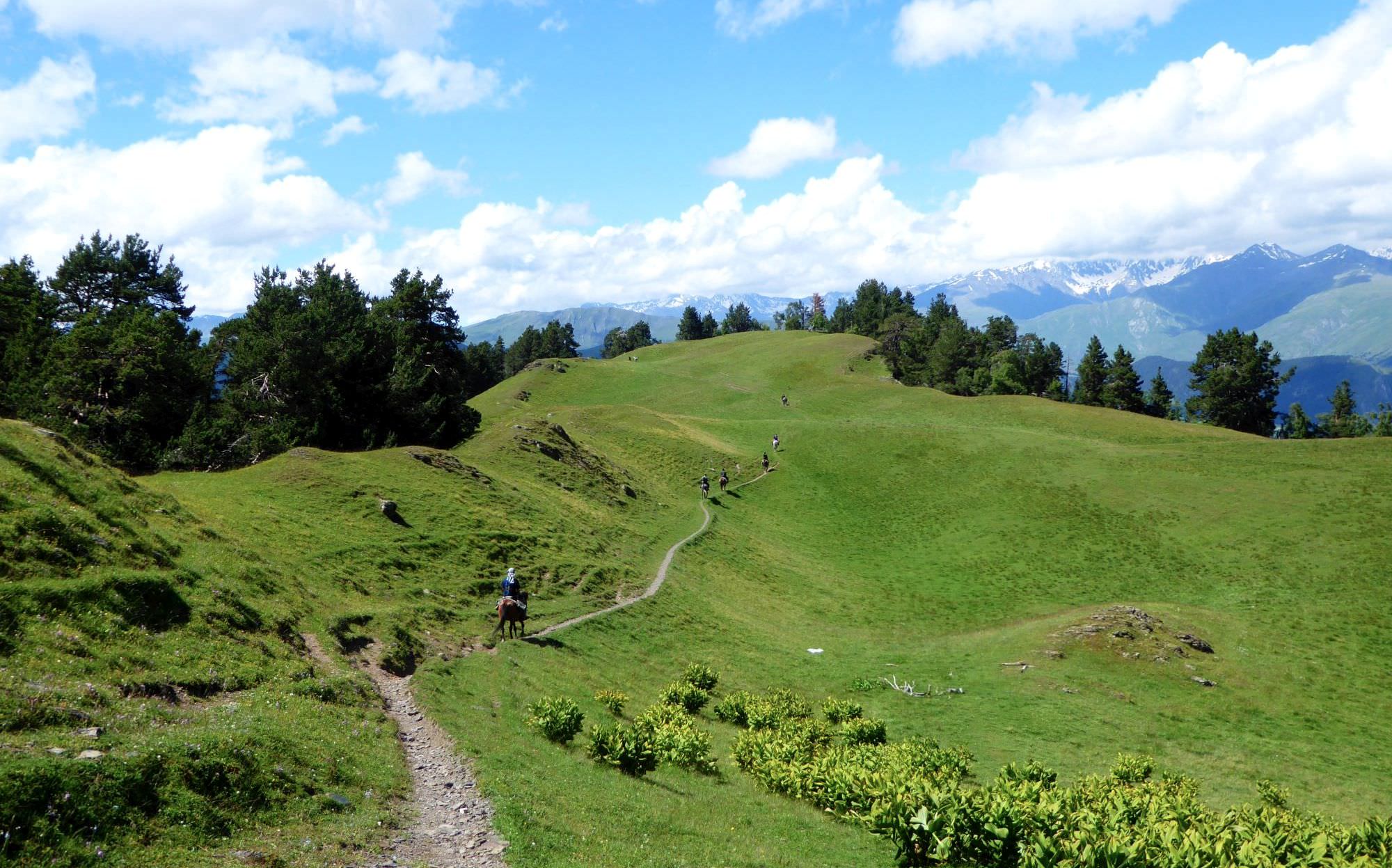
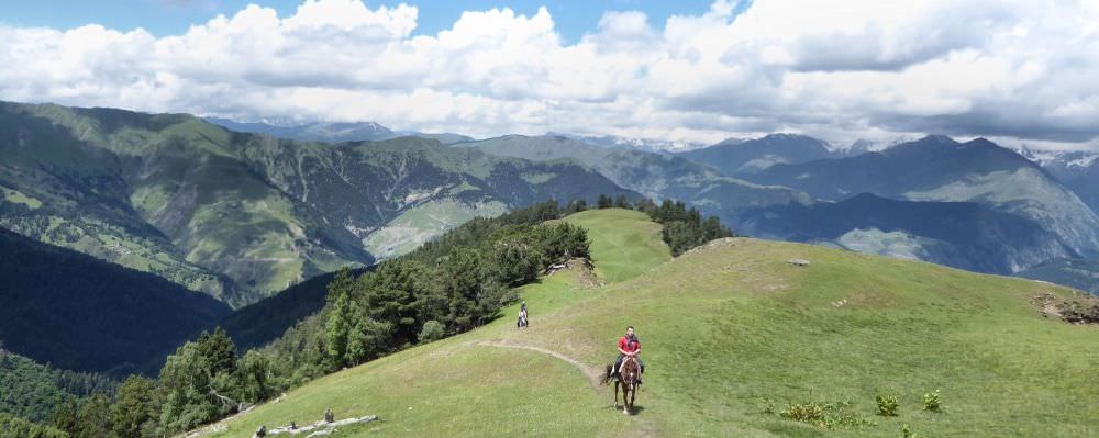
Oreti lake is a great destination for a horse trip. In a day, you can comfortably reach it from Omalo and return.
If you have more time, you can camp by the lake and return on the second day; sunrise over there must be breathtaking.
Long hike with a considerable change of elevation.
By jeep:
There is no public transport to Tusheti. To get to Omalo, you will need to hire a driver with 4WD. If you are traveling from Tbilisi, you will first need to get to Kvemo Alvani village - this can be done by marshrutka or a taxi.
The marshrutka departs from Ortachala bus station in Tbilisi at 9.am and arrives at Alvani two hours later (price 15 GEL). Drivers are used to tourists and often arrange them further transport to Tusheti. Just confirm with the driver that he is going all the way to Alvani, they sometimes try to drop passengers in Telavi in order to make them hire another taxi to Alvani. Or they simply want to hook you up with the jeep driver from Telavi but that is OK if the price is right.
If you want to take a taxi from Tbilisi to Alvani instead of a bus, the price can be anywhere 100 and 150 GEL (it grows with your distance from the Ortachala station :))
In Kvemo Alvani, the bus or taxi will drop you at the main (and the only) junction. This is the place from which depart jeeps to Tusheti so if you get here before noon, you should be easily able to hire a driver.
The ride to Omalo takes about 4-5 hours and costs 70+ GEL per passenger (or about 350-400 GEL for the whole jeep). BBC once placed it among the "10 Most Dangerous Roads in the World", but with a good driver, it definitely doesn´t feel like that. In navigates pretty steep mountainside but the road is usually wide enough and unless you are passing another car and need to navigate to the very edge of the road, there is no reason to feel nervous. Still, the accidents happen here and the road claims a few lives every year. Therefore, even if you have your own car, for this stretch of the road, it may be better to use the service of the local driver.
By hitchhiking:
Hitchhiking can be "hit or miss" since jeeps traveling to Omalo are usually booked by tourists and full. And even when they are not, tourists might be reluctant to pick someone who just walked a few hundred meters beyond the departure point and raised a thumb (especially if he is dressed up in Arc´teryx gear like a couple of "travel hackers" we saw there the last time :)). Professional drivers will rarely pick you up for free. Therefore, your best bet will be locals heading to Omalo for a visit - but it may take a while until some show up.
Another option is the Kamaz truck which brings supplies from the lowlands to Omalo. These drivers usually pick up passengers for a symbolic price but the truck has no fixed schedule. It departs like each other day in the morning, so it can´t be relied upon.
Looking for a place to stay in Omalo before the hike?
Here are some of the better guesthouses.
Again, you will need to hire a jeep with a driver. Price should be the same as what you paid to get there.
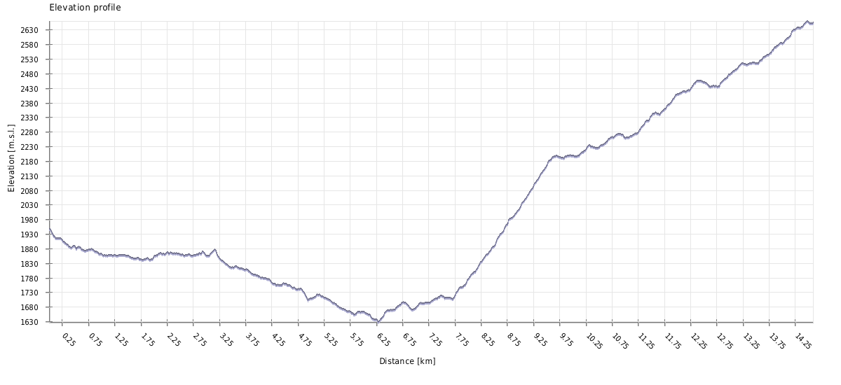
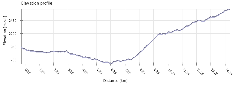
| Distance | 28,52 km |
| Trail type: | Roundtrip |
| Max. elevation: | 2661m |
| Min. elevation: | 1628m |
| Total climb: | 1682m |
| Total descent: | 1682m |
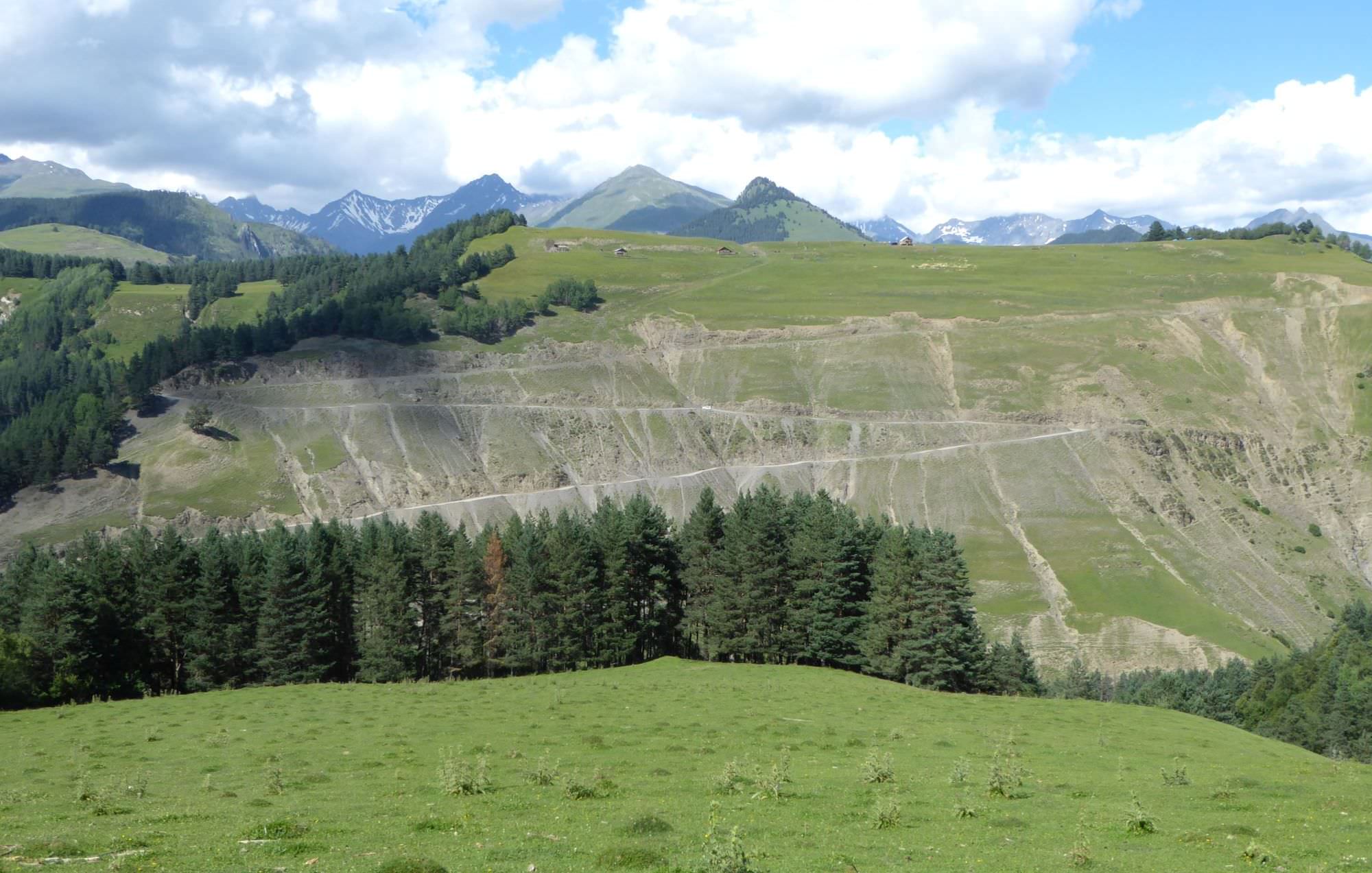
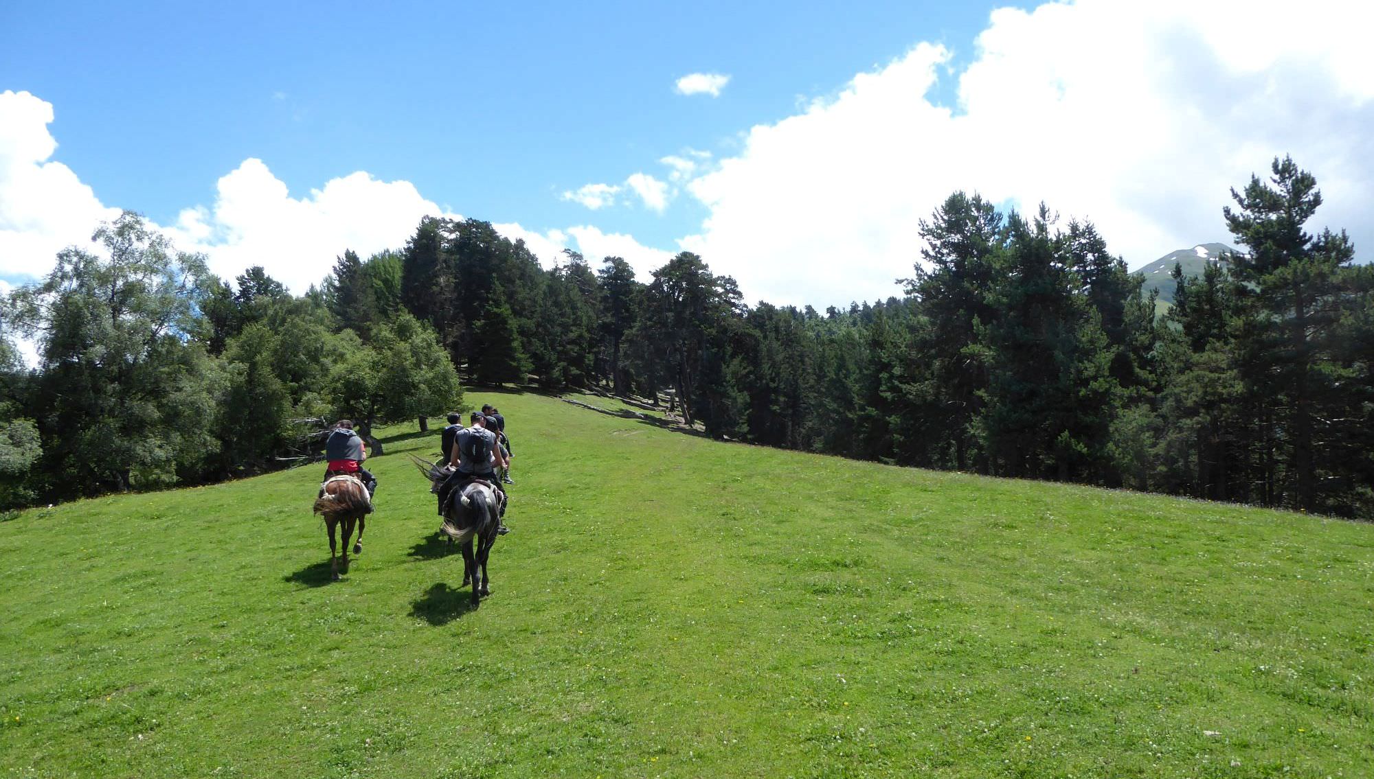
The hike starts in Lower Omalo. Head from the village through the meadow to the south, towards the car road. While you stay on the dirt track, once you approad the car road, turn right, so you will cross the main road perpendicularly (under right angle). Once you reach the road, cross it and walk straight for about 300 meters towards two houses (to the right of them, there is a small hill). Pass houses from the left side and turn right, towards the forest. The trail follows the edge of the forest, going down and passing the spot where the main road makes sharp, almost 180° turn, then leading you to another such spot. From here, descend directly some 50 altitude meters onto the main road, turn right and head to the bridge. Cross the river and turn left, in the direction of Kumelaurta village.
Follow a dirt road - after a while, it takes almost 180° turn and a meadow appears to the left (with Tsokalta village being not far ahead). Leave the road, turn left and hike up, towards the forest. There is no path on the pasture, but it starts once you reach the trees.
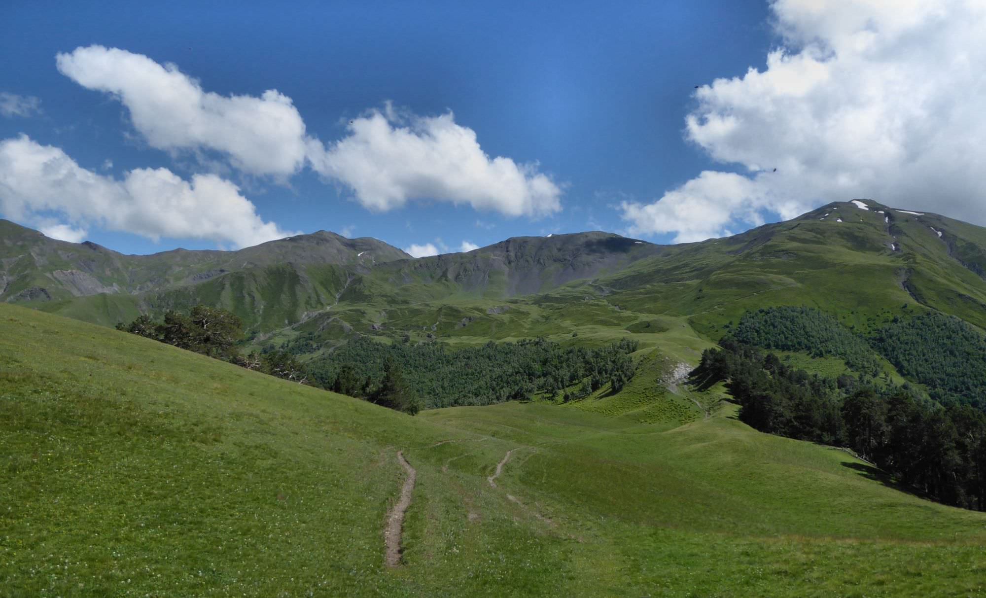
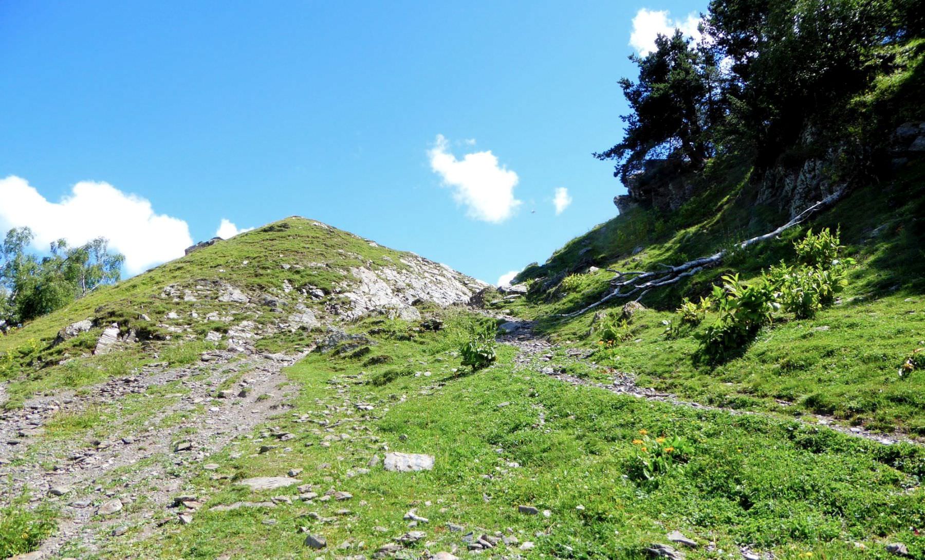
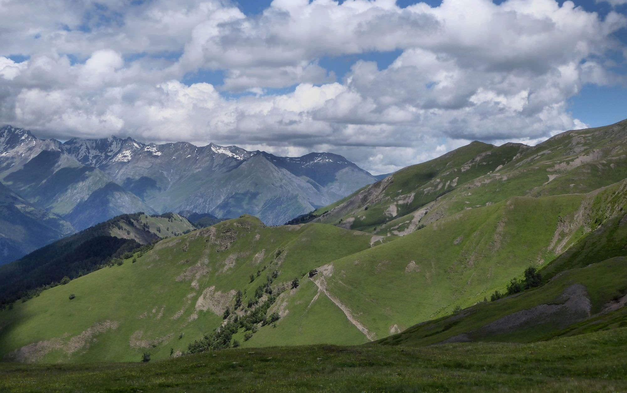
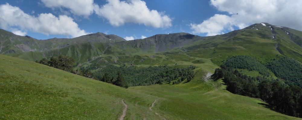
Then comes the most difficult path of the hike - climbing onto the ridge. Valleys of Tusheti are often steepest at the bottom and this one is no exception. On a short section, you need to overcome quite a big elevation, about 400 meters. You are climbing in a nice pine forest with very limited views.
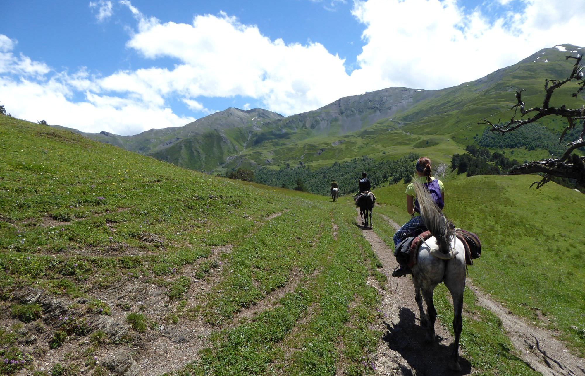
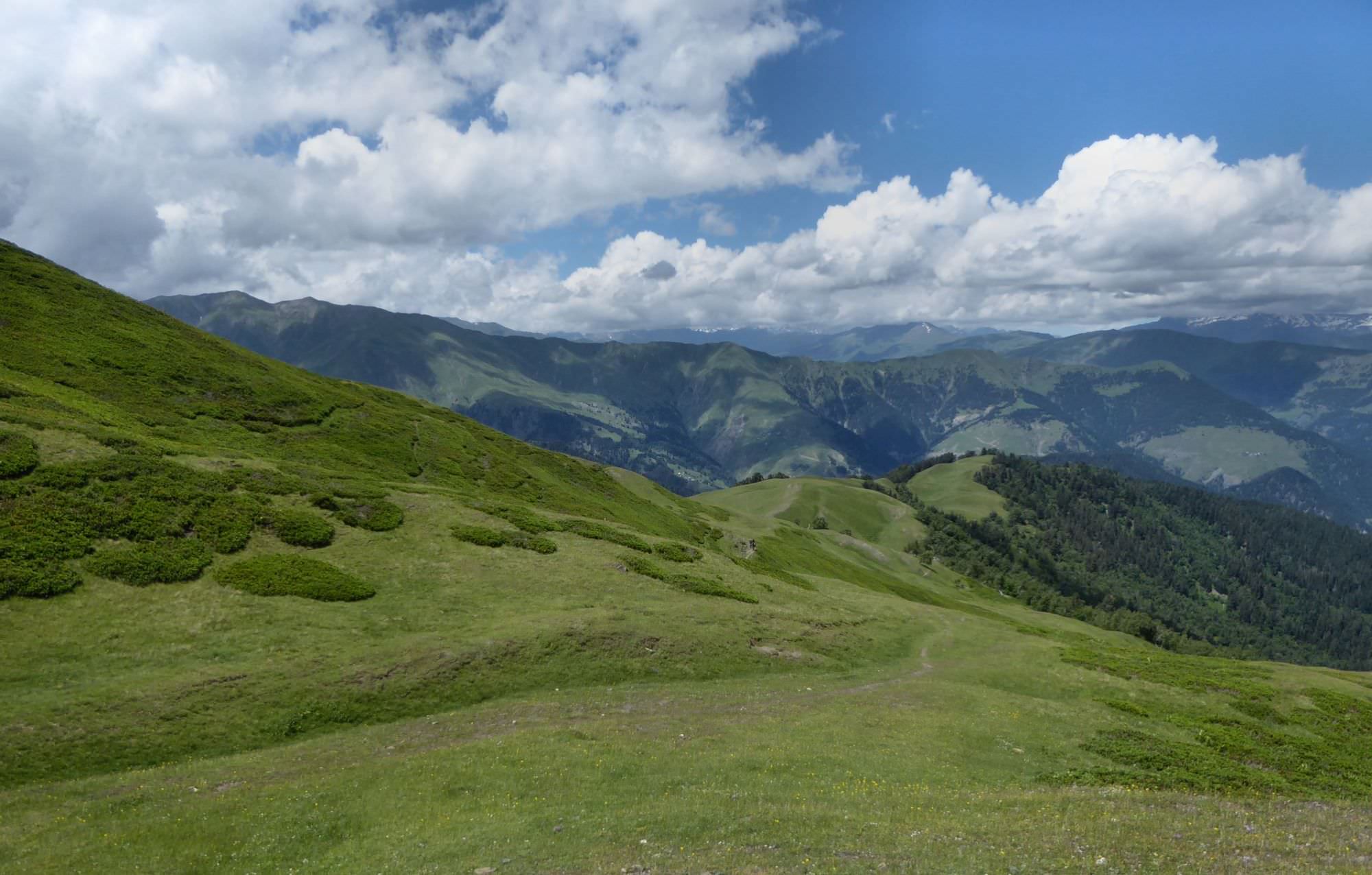
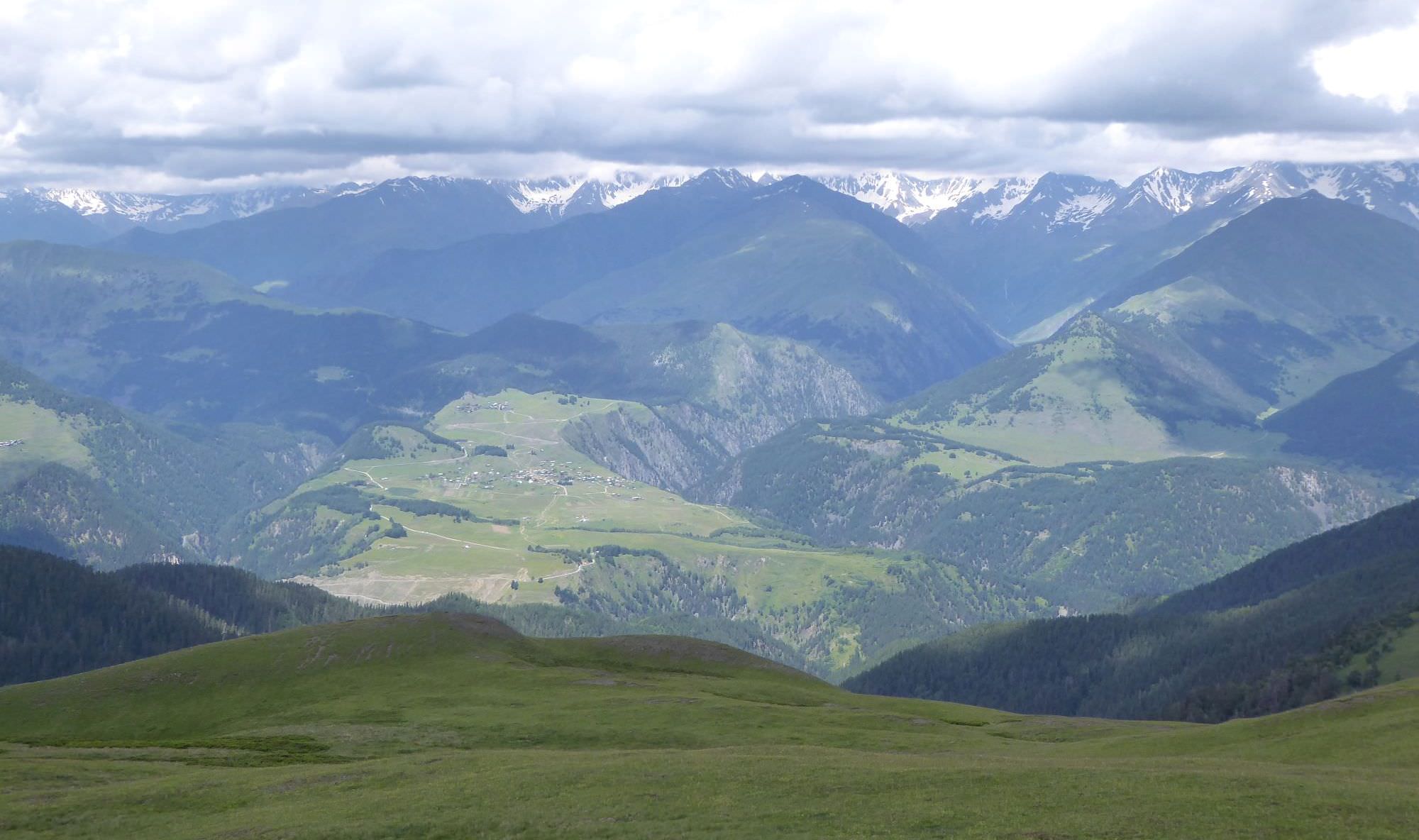
Everything gets much easier once you make it to the top. Follow now almost flat trail and soon you will come to a shepherds hut (see "Creepy shepherd below"). From here, continue to the south. You are hiking towards the main ridge, forming the border with Russia. The trail is now slowly rising through a forest, interrupted by series of beautiful meadows. You also have a great view of surrounding mountains.
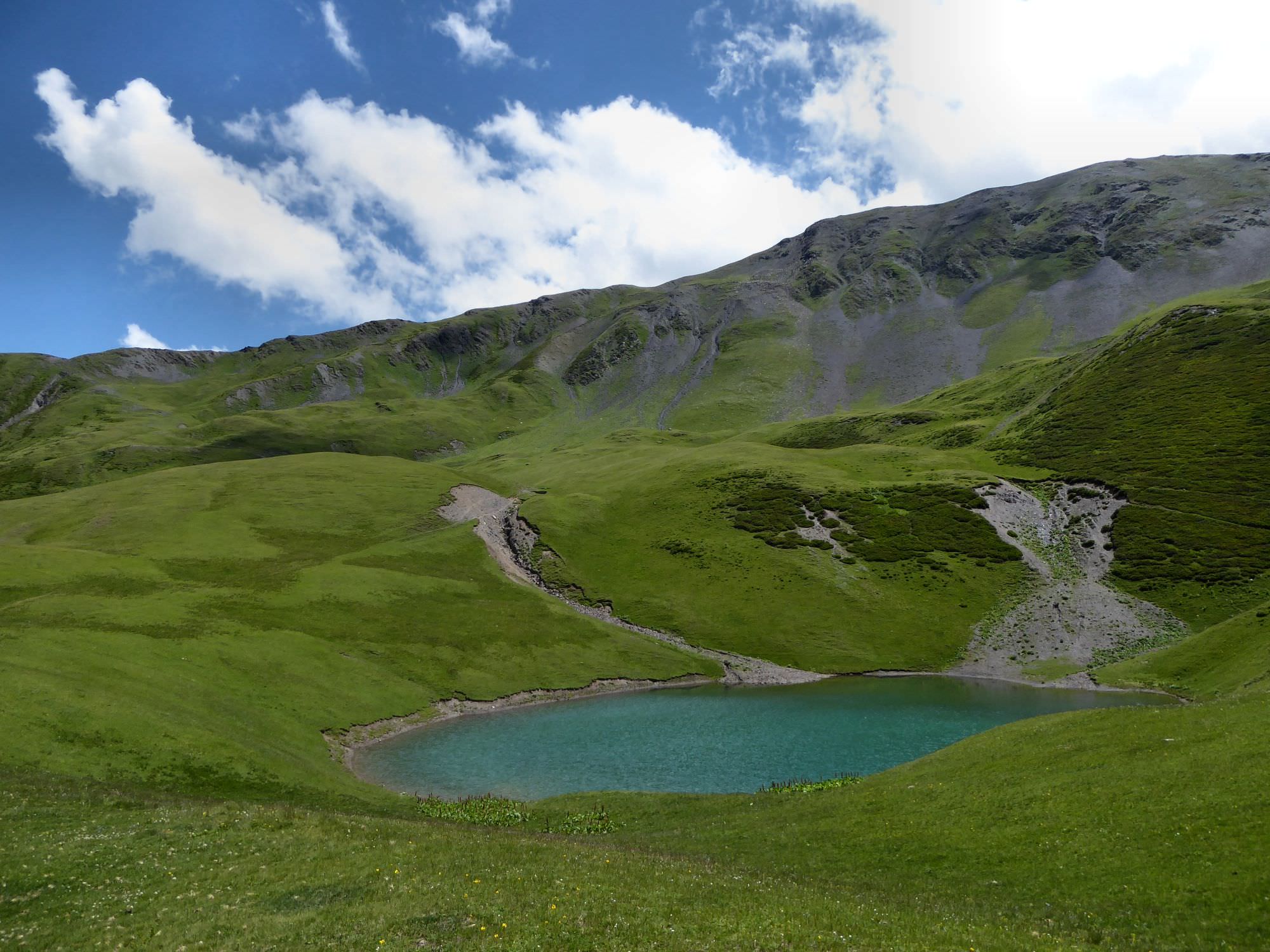
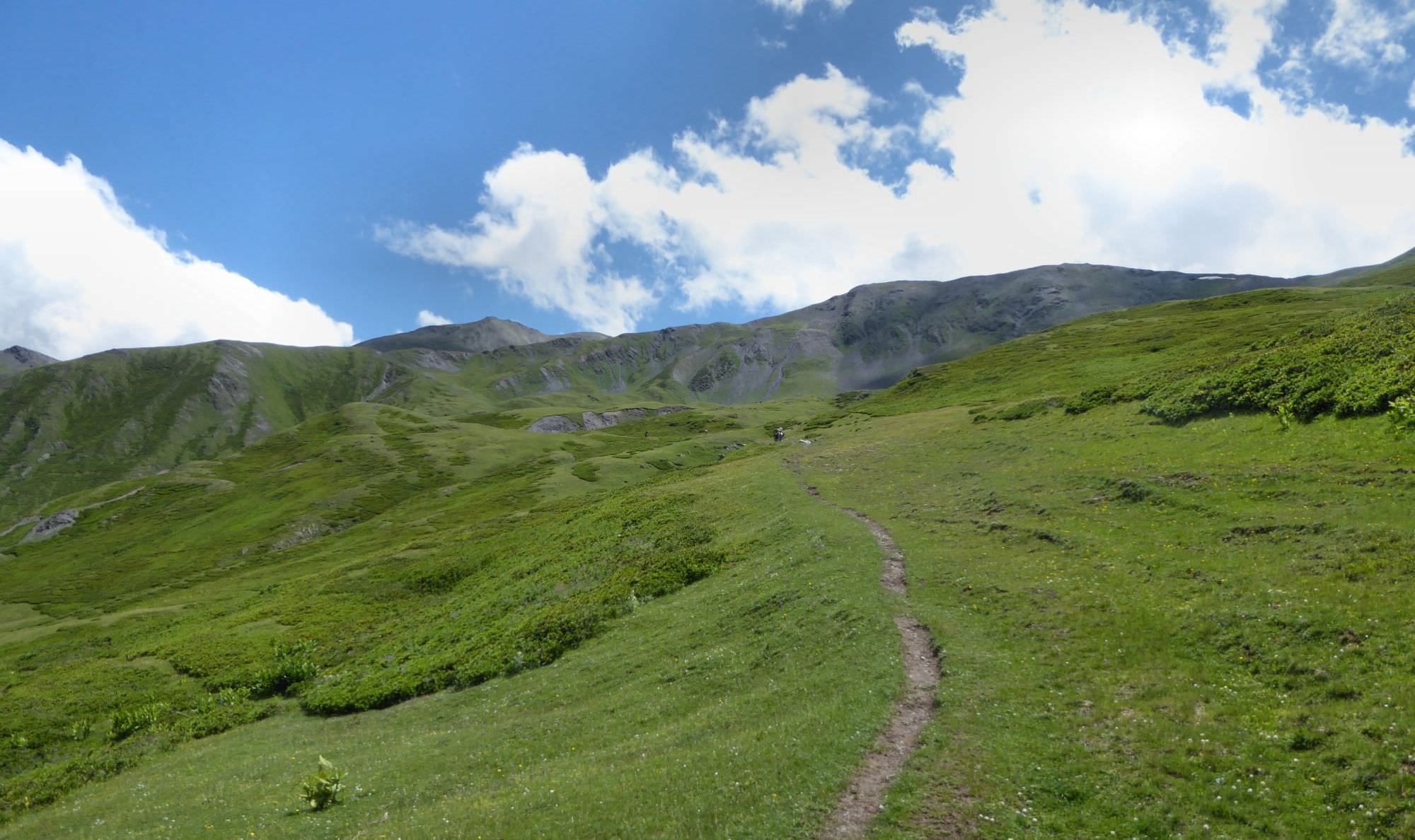
When you finally leave trees behind, the ridge ahead starts rising too steeply and you have to pick a side. Turn left and enter fields of rhododendrons (there is also an info panel, visible from a great distance). They bloom in June - another reason to visit early in the summer.
The trail passes these fields and is very easy to follow. Finally, you will cross a small stream, walk a bit uphill and voila - the lake is right ahead of you!
Rest for a while, refill your water from the stream and if you don´t plan to camp, it´s time head back. Return the same way you came or you can use an alternative route ending in Khiso village, but for that, you would have to camp by the lake and finish the trek on the other day.