An alternative hiking route leading to the Tobavarchkhili lake, starting in Skuri village.
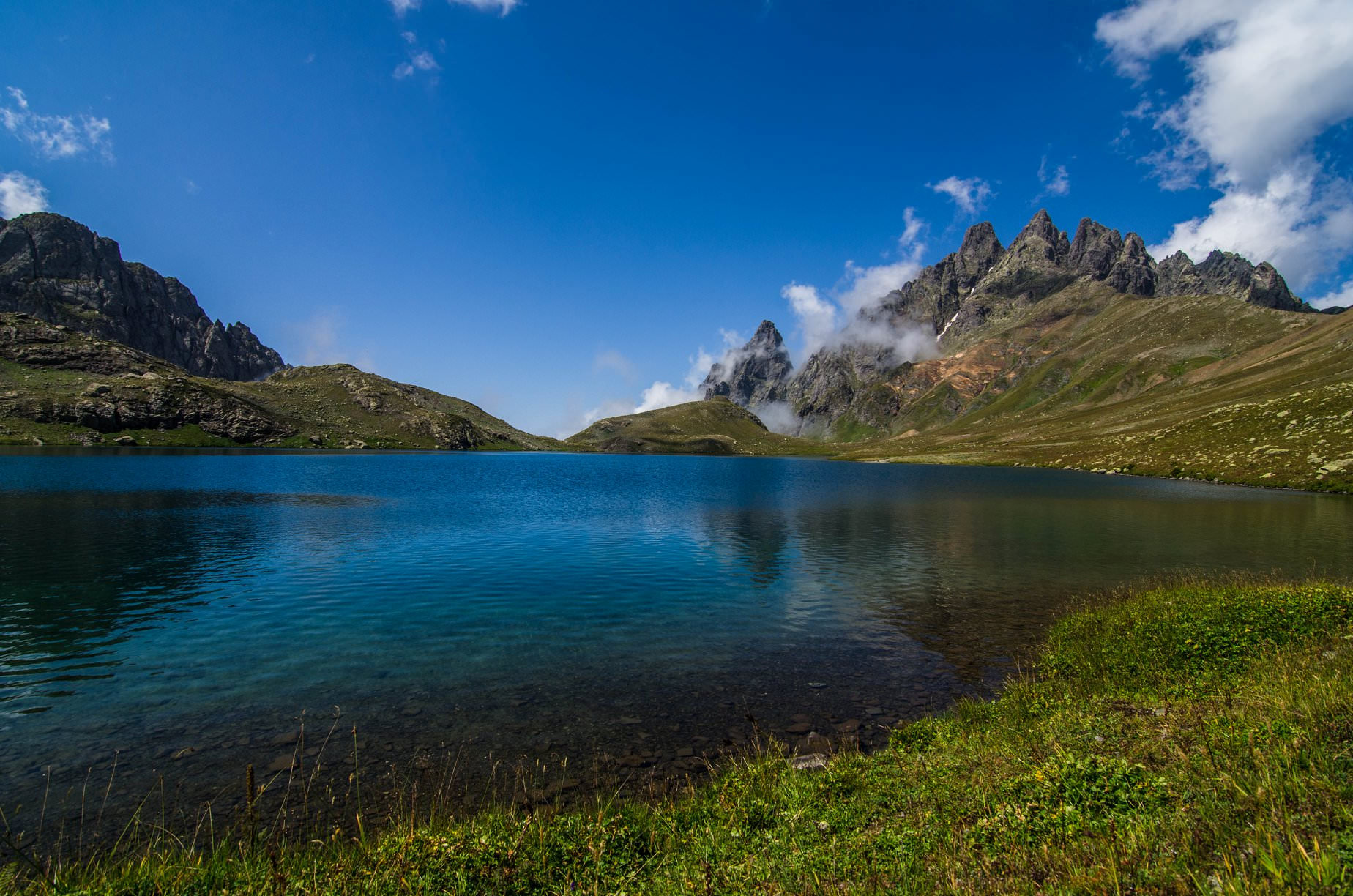
Another hiking route leading to the Tobavarchkhili lake, one of the most beautiful mountain lakes in Georgia. The lake itself is like a jewel in a crown of Egrisi mountains which separate Svaneti from Georgian lowlands. On the way there, you will pass humid jungles, see imposing Toba waterfall and visit shepherds in their natural habitat.
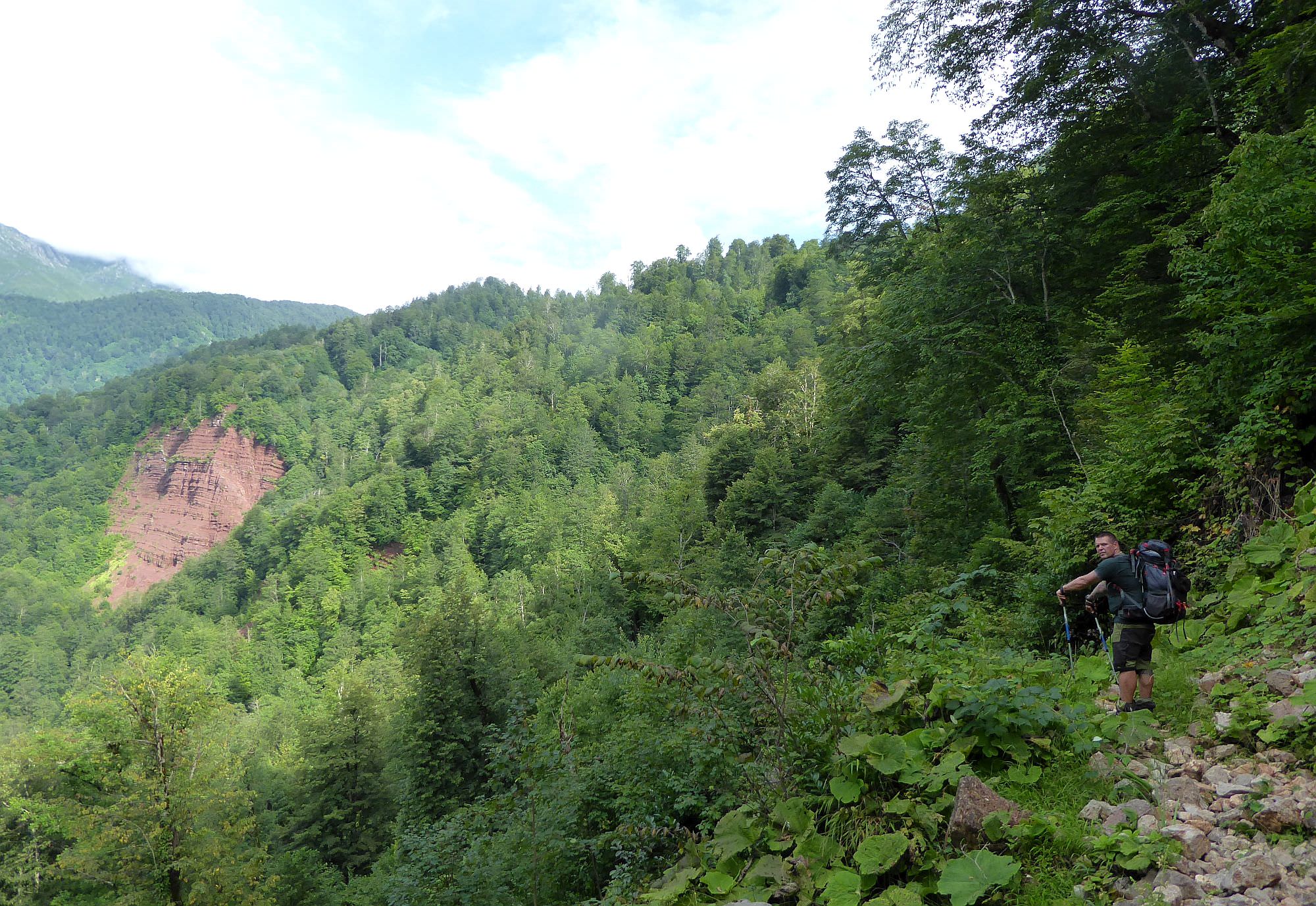
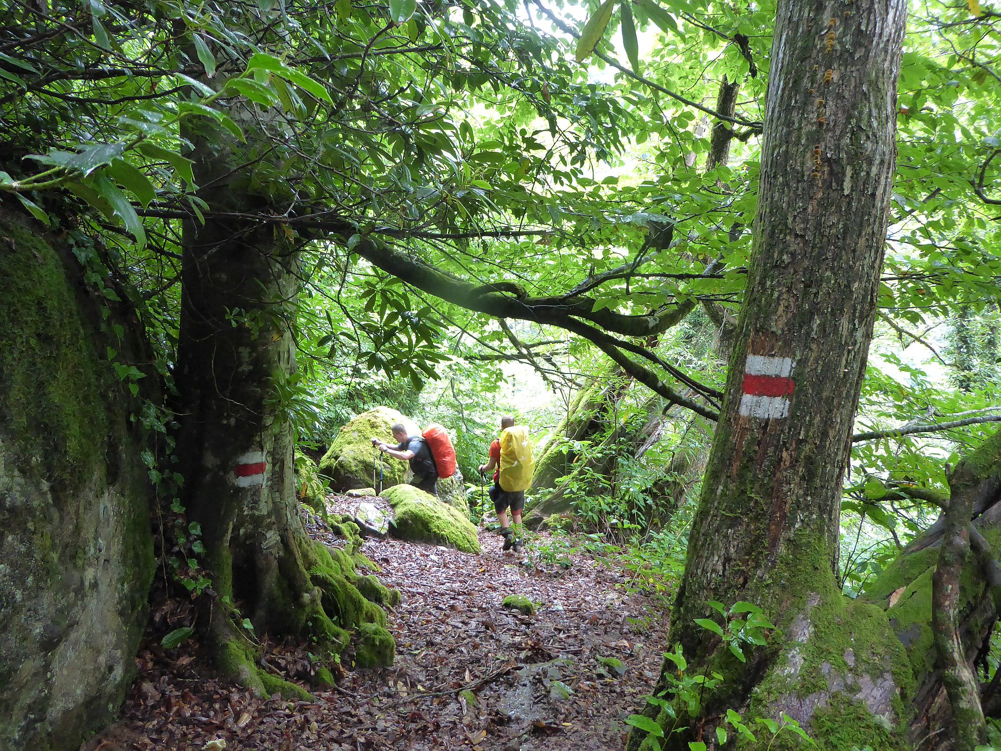
The trek starts in Skuri village and navigates to the lake through the Magana valley. That means that it climbs to the lake more or less "from the bottom" and is not that scenic compared to the other trails. On the other hand, it´s the shortest route and therefore quite a popular option among people planning to get to or from the lake. Also, it´s signposted and marked by red markings.
This trek can be finished even in two days, but for that, you need to be able to leave Skuri in the morning. Leaving around noon means that you will probably spend a night at Kirnakhona and in such case, 3 days will be needed to make it to the Tobavarchkhili lake. However, keep in mind that that´s only half of the route, you will need at least two more days to get back.
Both days are long and difficult, requiring at least 7 hours of walking. There are two possibly risky river crossing. Also, since this is only one half of the quite remote trek, the difficulty is definitely Hard.
The most convenient would be to take train/marshrutka to Zugdidi and from there just to grab a taxi (buses are slow, travel once a day at most and won´t get you all the way to the trailhead). Also, since the Skuri village is quite "stretched" and the last segment of the road is the worst, make it clear that you need a ride to it´s very end, where the hiking trail starts. From Zugdidi, it shouldn´t cost more than 50 GEL.
You will have to walk for two more days. There are three basic routes to the Tobavarchkhili lakes so if you came from Skuri, you will probably want to continue either south to Mukhuri or north to Khaishi. Both routes are described in detail in the Trek to the Tobavarchkhili lakes post.
Well, it won´t be easy. From the last hiking pointer, you may have to hike another 5 km until you reach the main road. We hitchhiked, asked everybody we met about a taxi and eventually got a number of a driver willing to drive us to Zugdidi (he asked 40 GEL). To make it easier, while passing through Zugdidi (you will probably pass through here before your trek starts), hang around taxi drivers and ask a few of them for their phone numbers. You will really appreciate these numbers once the trek ends and you get stuck at a place such as Skuri.
I describe the trek with start in Skuri, but many people will hike it in the opposite direction - simply because after seeing the Tobavarchkhili lake (aka, "the highlight"), they look for a most straightforward route back to the civilization (so I included also "how to leave the Skuri section"). Either way is ok, all depends on your preferences and other plans.
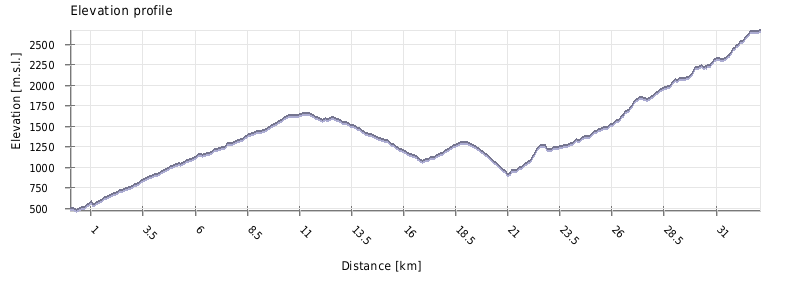
| Distance | 33km |
| Trail type: | AB trip |
| Max. elevation: | 2669m |
| Min. elevation: | 474m |
| Total climb: | 3488m |
| Total descent: | 1317m |
This section reminds a roller-coaster ride - after a long, difficult day full of ups and downs, you will find yourself only 450m higher compared to the village where you started.
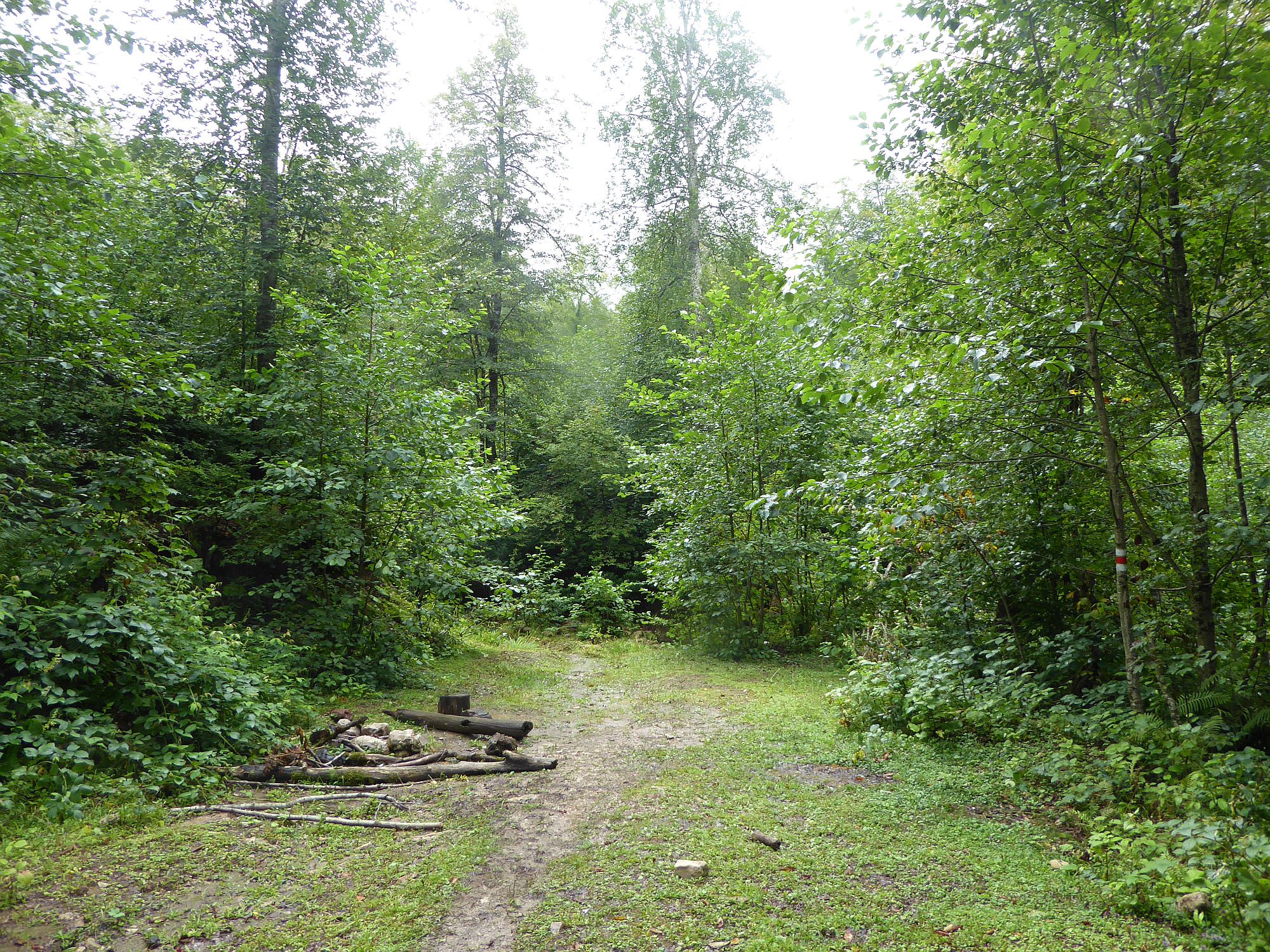
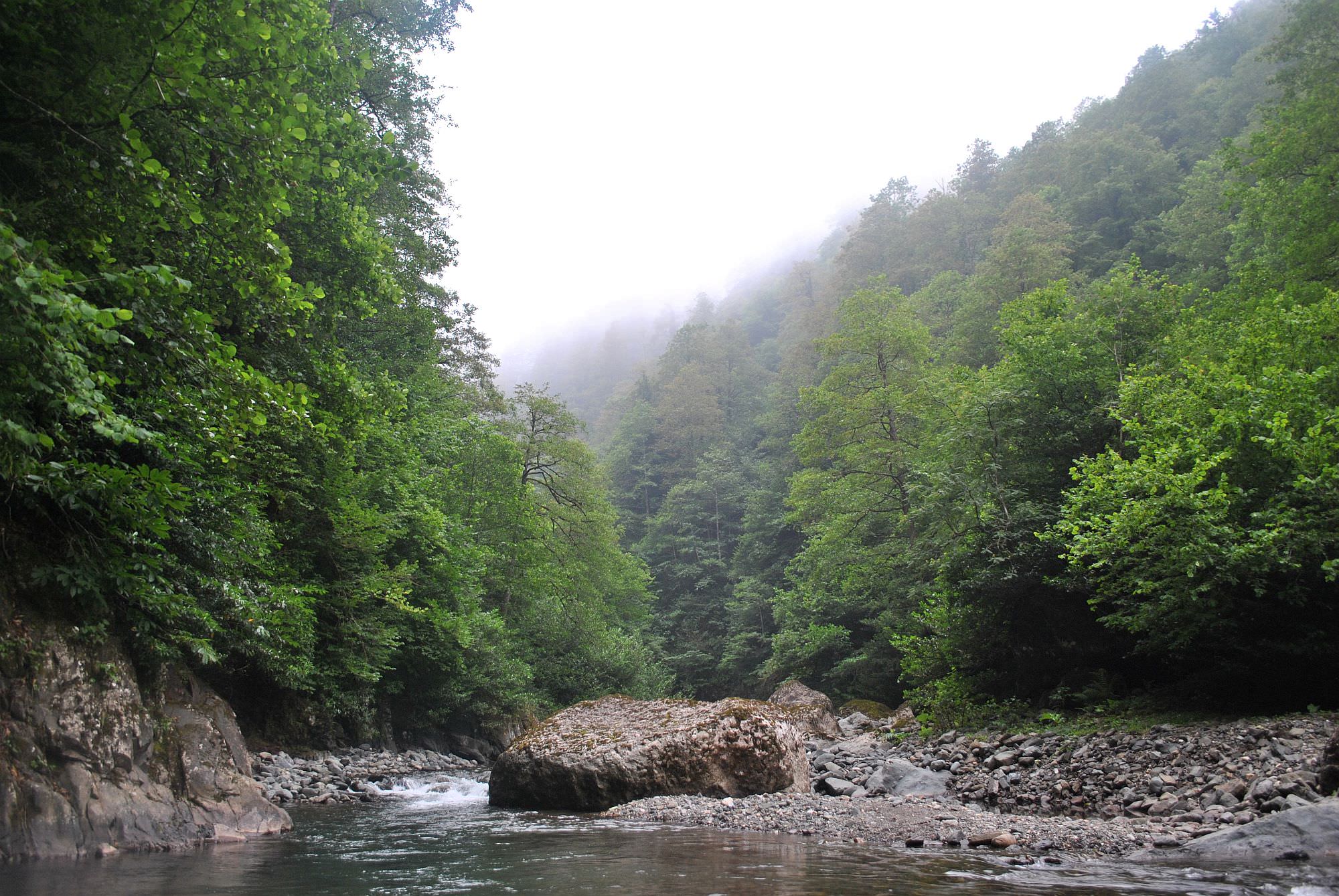
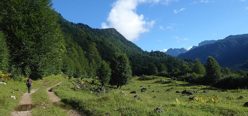
The trek starts at the very end of Skuri village (elevation 500m) - there is a hiking pointer, a mineral spring and a couple of old, dilapidated hotels. Follow the dirt road further to the north. After 200 meters, it crosses Tsentskari river - it is usually easily fordable, but can be quite swollen after heavy rains. If you have troubles crossing it, better turn back and change your plans - you won´t be able to cross even bigger rivers which lie ahead.
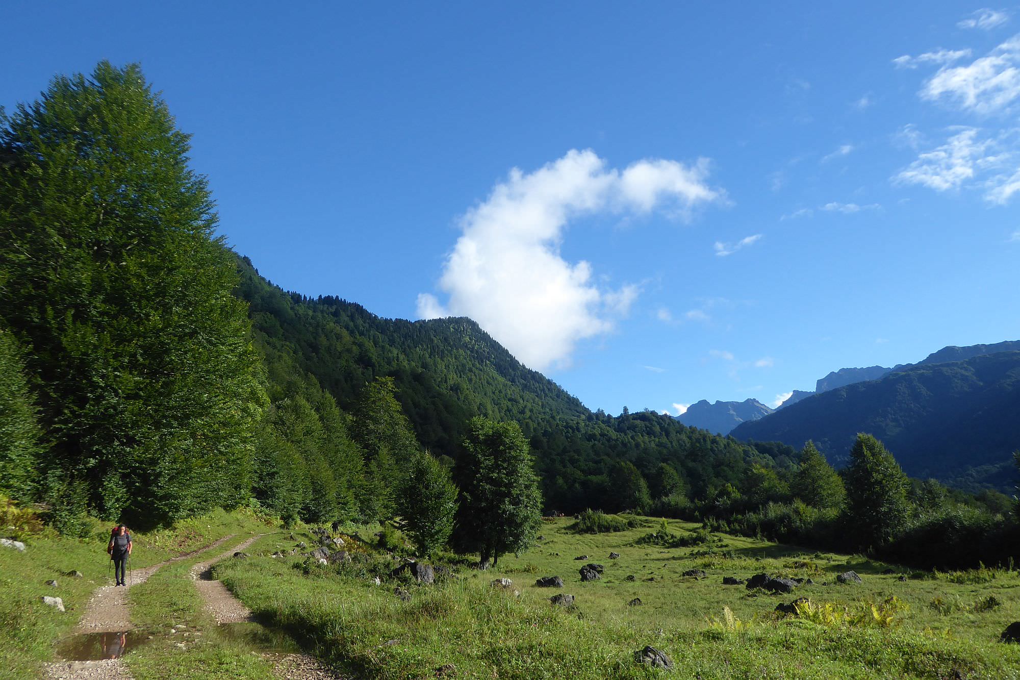
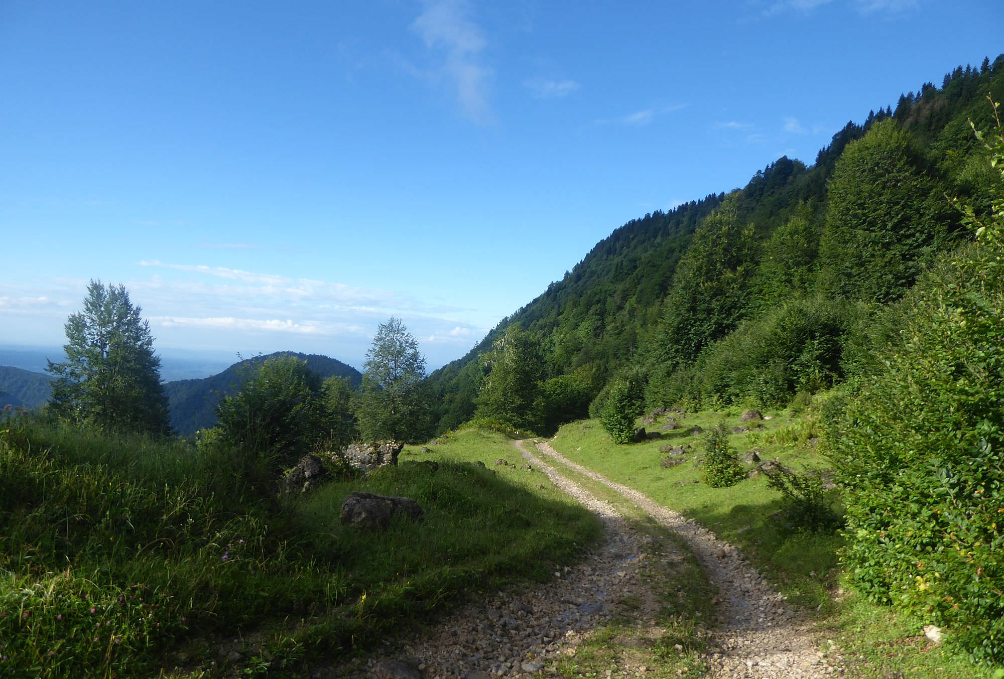
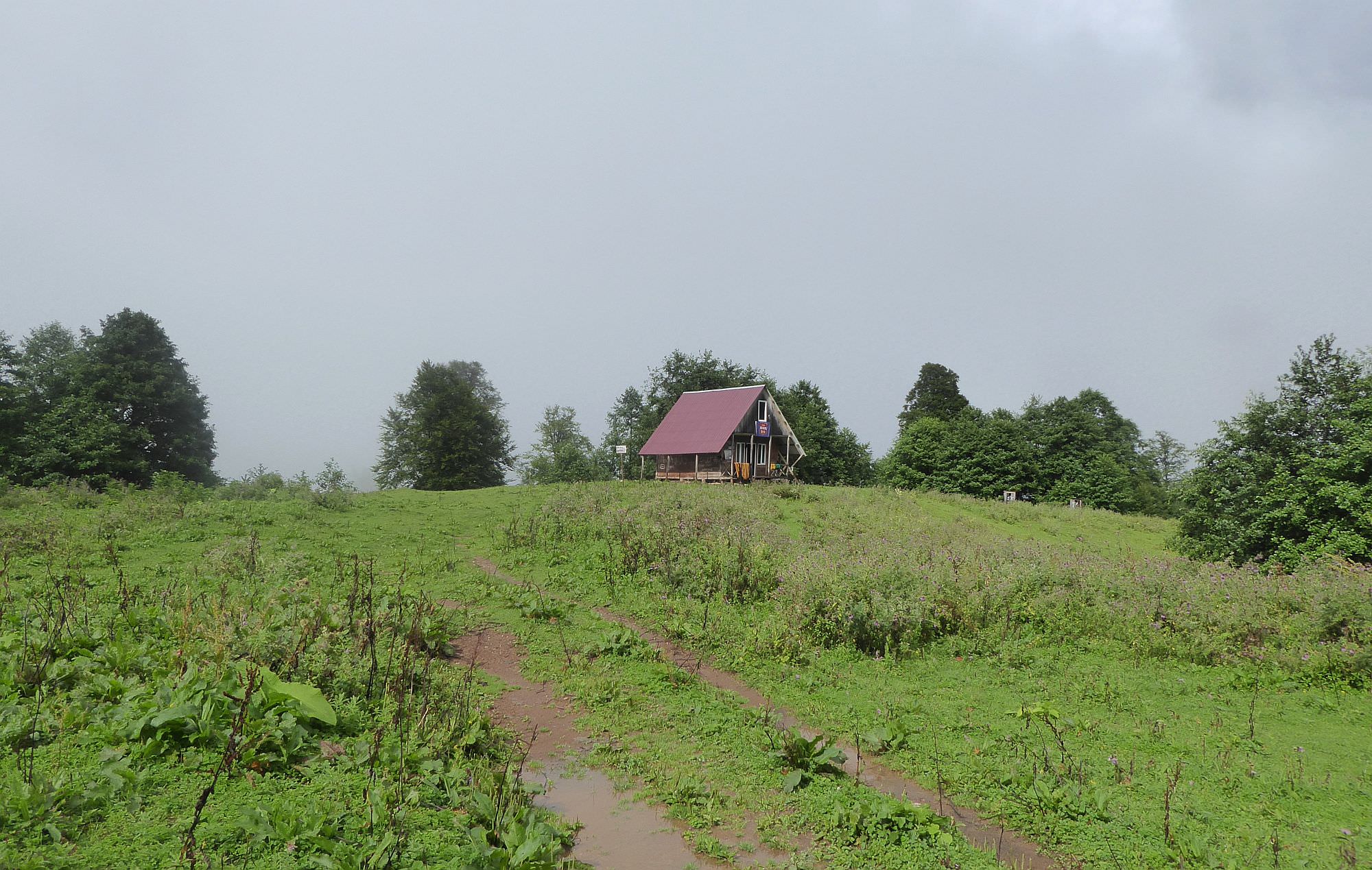
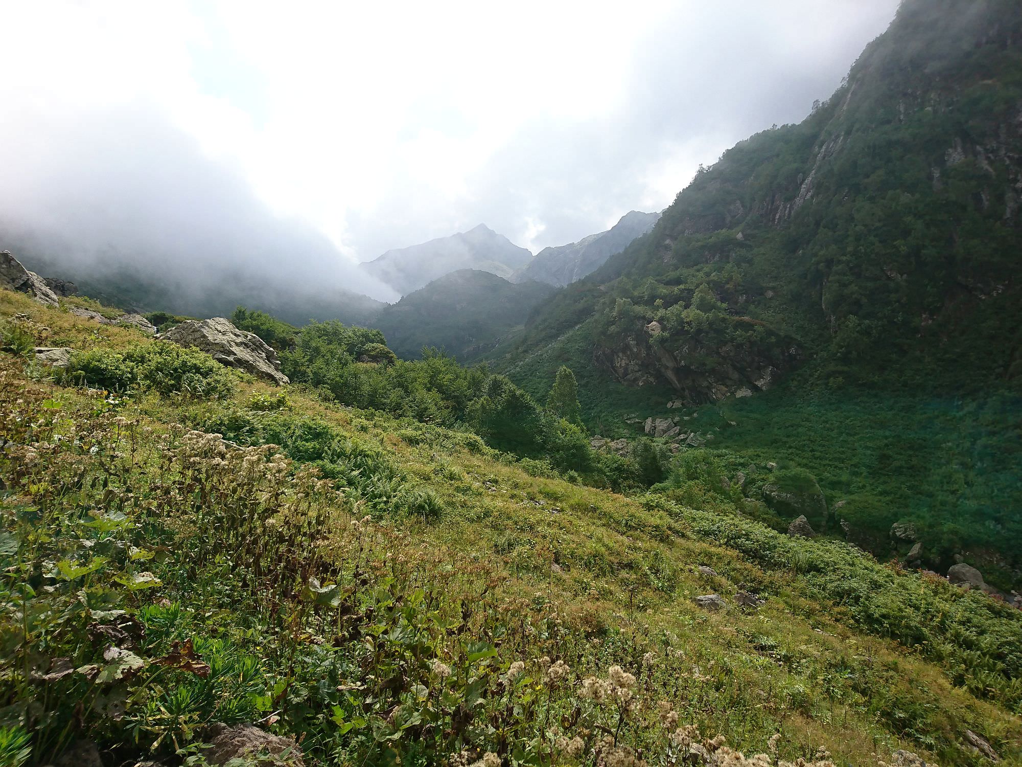
The dirt road steadily climbs through the forest until it leaves it at the elevation of 1300m. The trail then circumvents the eastern side of Kvira mountain, finally reaching the local maximum at 1630m - from here, you can admire the first views of distant Egrisi mountains (and of deep river valleys lying in-between). After a slight descent, you will reach a T-junction. To get to the lakes, turn left - the right branch will soon lead you to "Kirnakhona", a modern and quite clean tourist shelter. There is also a water spring nearby so if you left Skuri late, this is a great place to spend a night.
Also, it should be noted that this since this first section of the trek follows a dirt road, it can be skipped. However, you will need to arrange a truck or some other high-clearance vehicle, the ordinary jeep won´t do it since the road is in a bad condition.
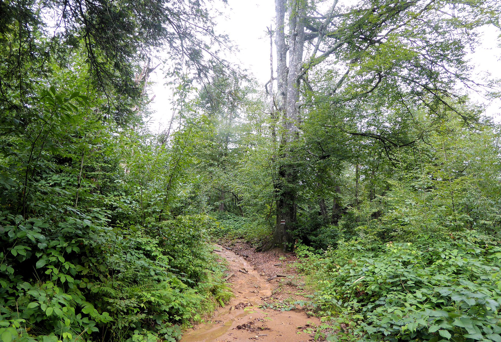
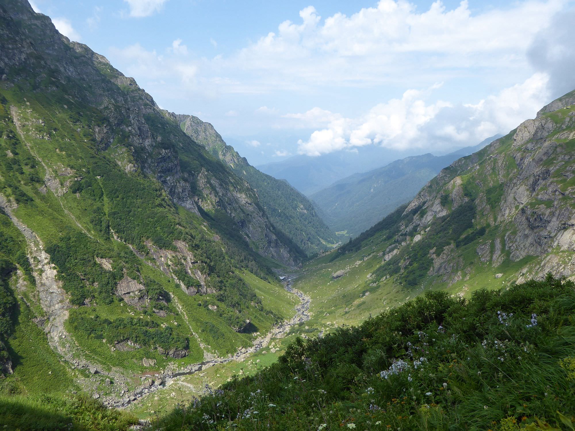
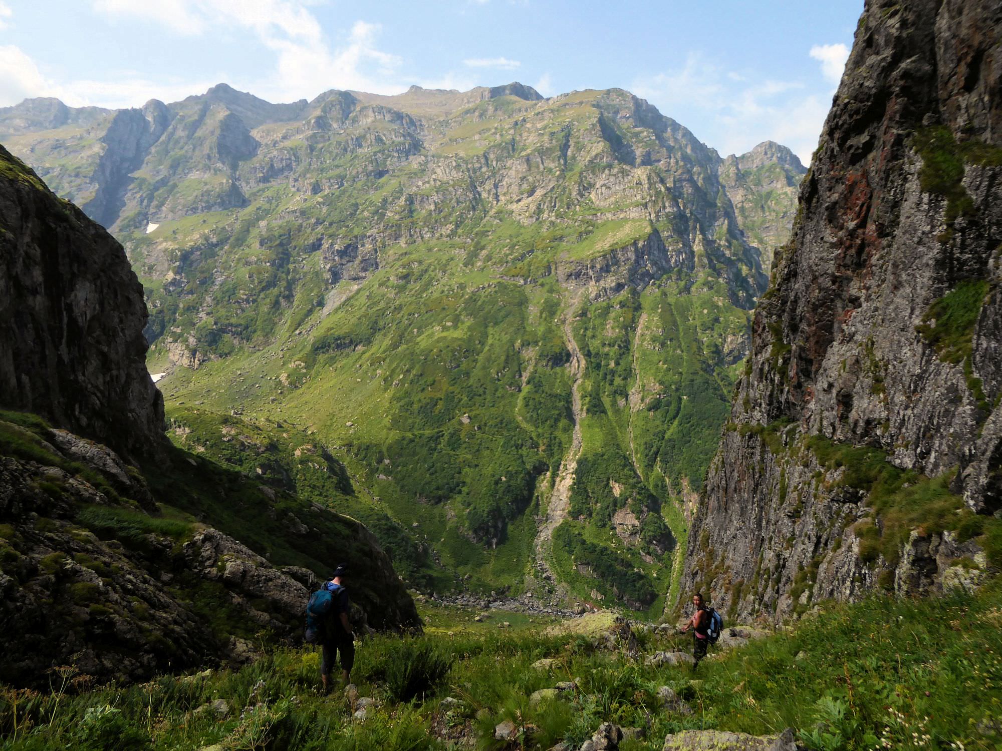
Behind the Kirnakhona junction, the road starts descending again - over the next hour, you will lose 500 meters of elevation. It also dives into the forest again and shortly thereafter (finally) disappears and turns into a footpath. At the bottom of the valley (altitude 1100m), you will need to cross a small, nameless creek. Nearby lies a nice meadow, suitable as a campsite. Behind it, the trail climbs again some two hundred elevation meters onto the small forested ridge (watch out for the blackberries). From here, the trail goes downhill again - first through the birch forest, but about halfway down to the bottom it turns into a series of short, steep (and often quite muddy) switchbacks.
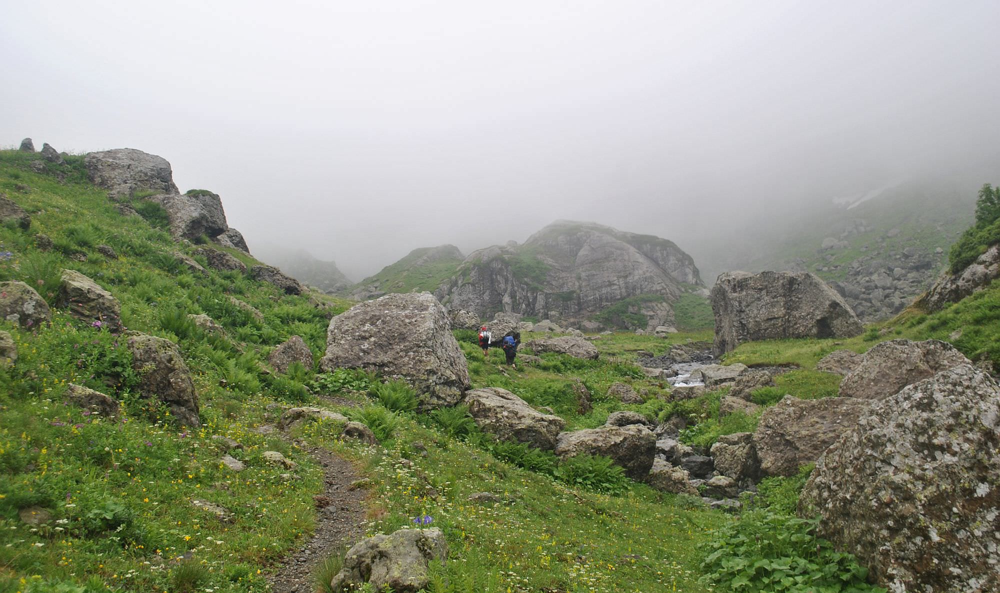
The trail reaches the bottom of the valley close to the confluence of Jalana and Magana rivers, at the elevation of 950 meters. First, you need to cross the Jalara river. Under normal circumstances, a small kid should be able to cross but after heavy rains, the current can become swollen and really dangerous (there are rapids not far below). At the other side of Jalara, you will find a small campsite - a good place to camp if you plan to do the trek in two days. However, there is a risk - if you are hiking during a rainy period and the river is already swollen, one more night of heavy rain could turn it into an impassable barrier. In such case, you may get stuck between Jalara and Magana rivers such as one couple we saw there.
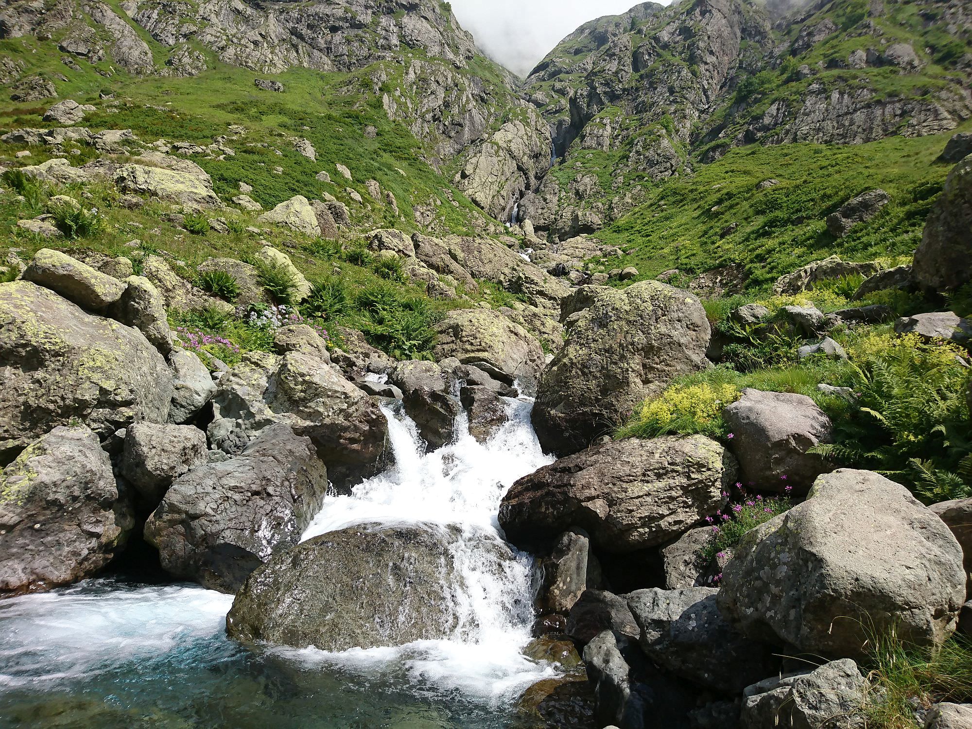
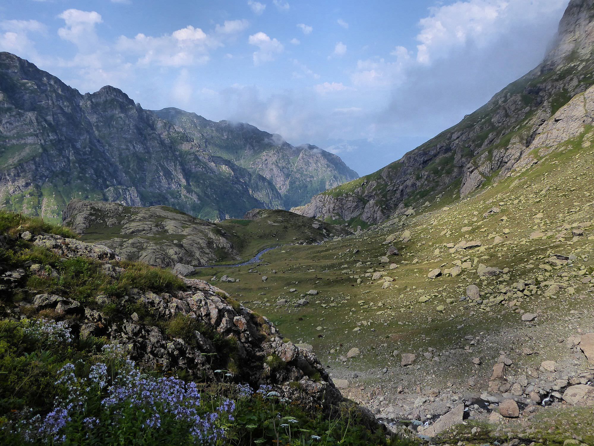
From the campsite, the trail follows the Magana river, bypassing a waterfall. On the next 500 meters, it snakes across a rocky terrain, occasionally forcing you to climb over stones.
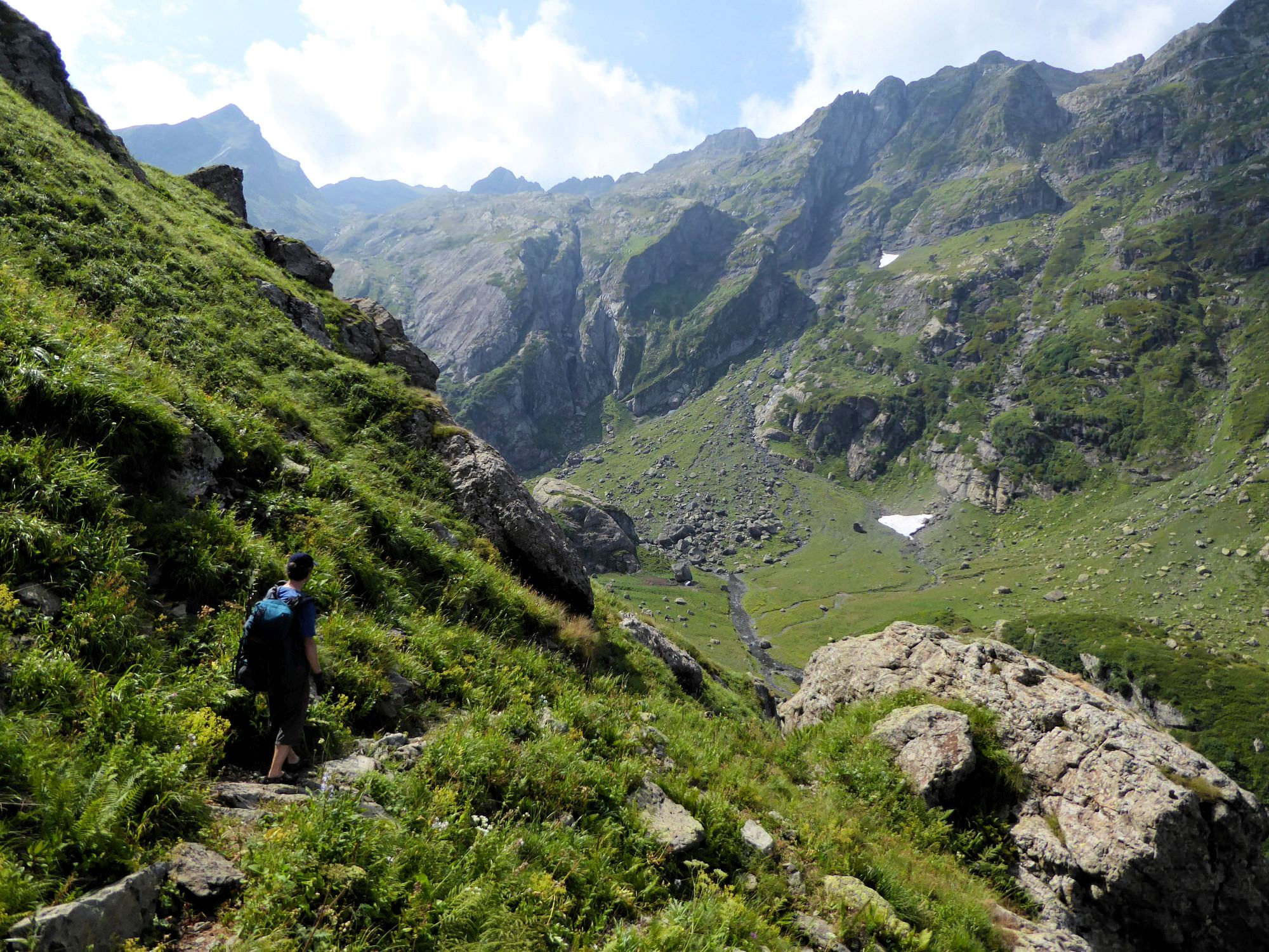
Then it climbs steeply through a dense forest - but it´s wide and you won´t have to fight your way through any vegetation. Then, at 1300 it slightly dives again and passes several overgrown meadows. After this section comes the crossing of Magana river. It is a similar to Jalara crossing - usually, it´s safely passable, but after heavy rains, it can prove as a serious obstacle. From time to time, shepherds or hikers build a bridge from a thin logs, but these rarely survive spring floods. Behind a river crossing is a good place for camping and a small "beach" with a fireplace.
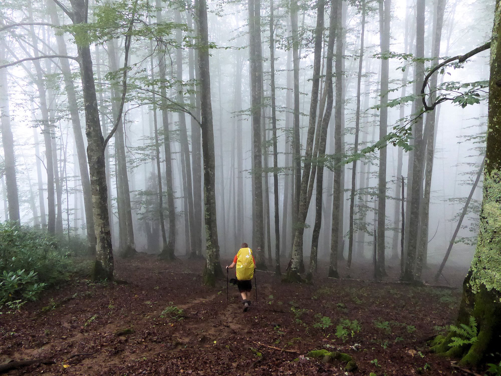
The trail then climbs through the forest which eventually turns into more or less overgrown meadows - the vegetation is up to 60cm tall. You will cross several smaller streams, among them also Nashkhara river flowing out of the Toba lake. 500 meters further, you will reach "Jikiri hut" - a shepherd´s camp nestled beneath a huge rock.
Jikiri hut is a well-known stopover, famous for its friendly inhabitants. Earlier, they regularly invited hikers for a meal and chat. With the recent increase in the number of tourists, this has naturally changed and they can´t host everyone - otherwise, they would spend a better part of the day just cooking elarji for the passing hikers. It still happens, just not so often. So don't expect any freebies, come with an open mind and see what happens - I really hope the people there will manage to profit from the passing people without sacrificing the authenticity of the place.
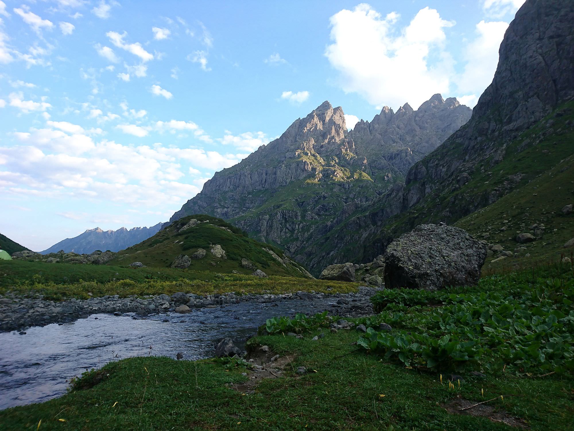
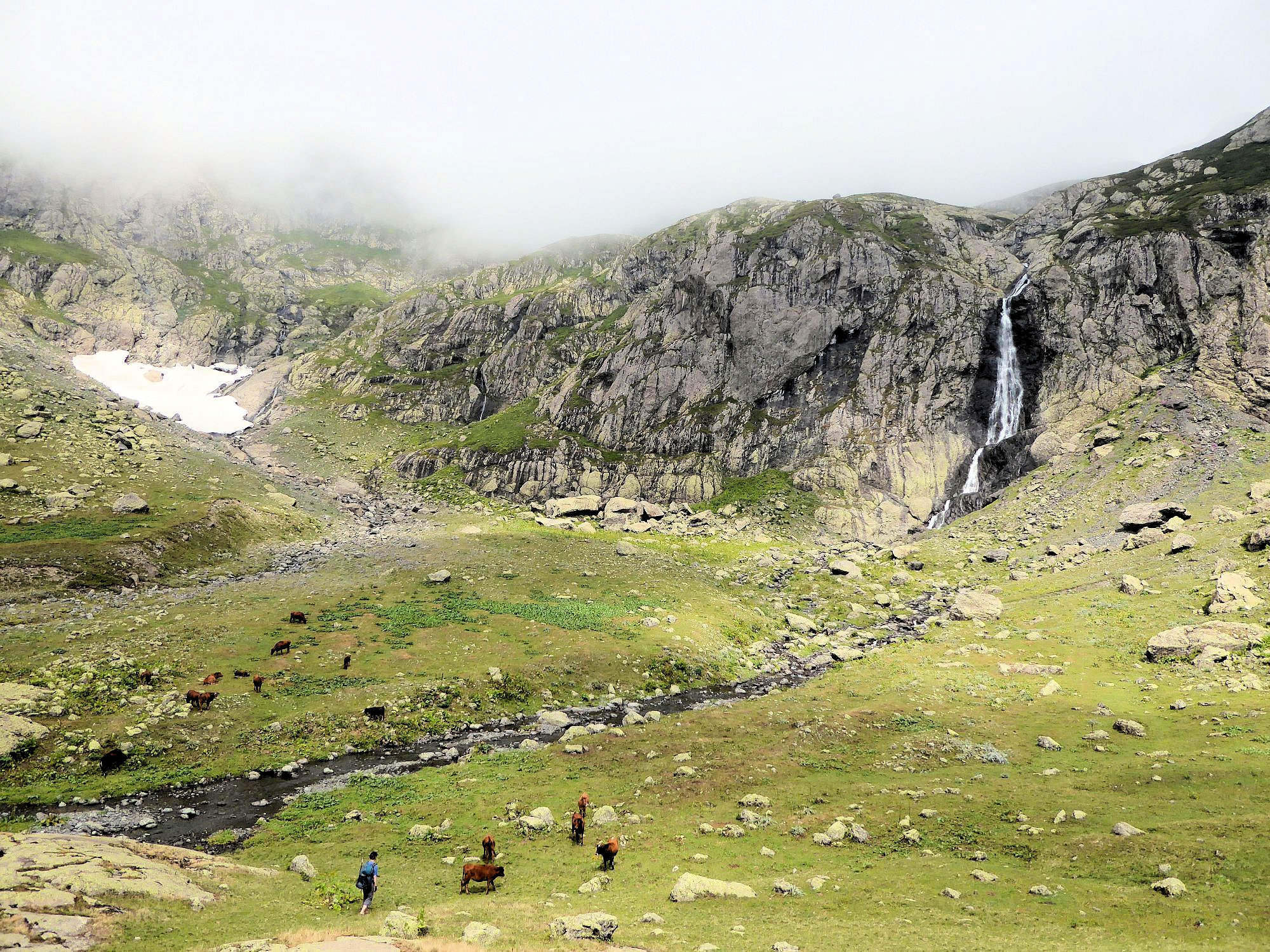
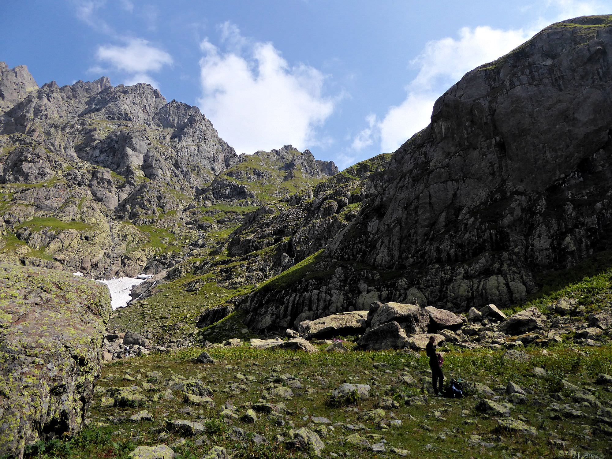
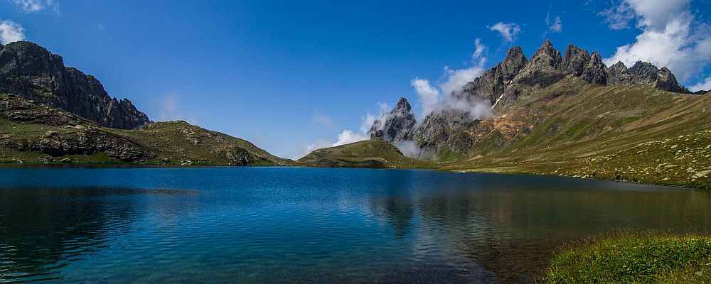
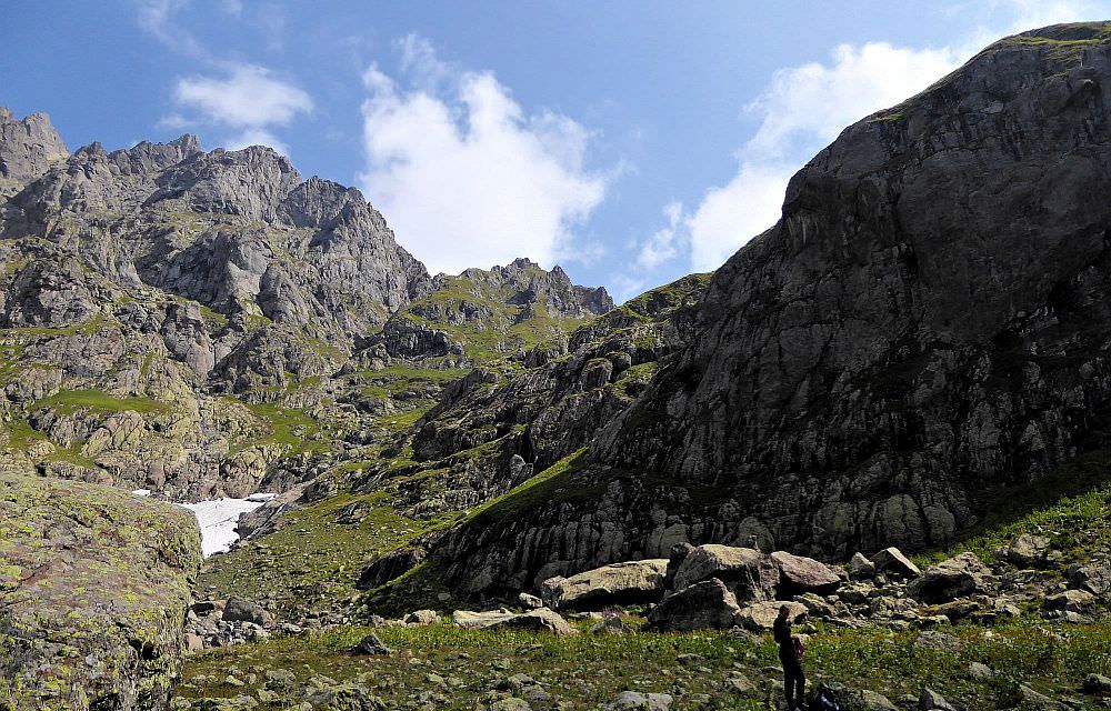
OK, back to the trek. From the Jikiri hut, the trail sharply turns to the north and follows the well-trodden trail across the hillside until it reaches a steep gorge. Climb it and reach a plateau at the elevation of 2300m. Here, you can admire the 80m high Toba waterfall, formed by a Nashkara river flowing out of the lake. Cross the river again and head to the northwestern corner of the plateau. Here you will find a small trail climbing further up.
All you have to do now is to cover the last 200 elevation meters to the lake. The trail is well-trodden and marked by stone pyramids. Close to the top, you will pass by the water spring and finally emerge at the plateau by the lake. There is a lot of flat space with low grass so feel free to build your tents wherever you want. And congratulations :)