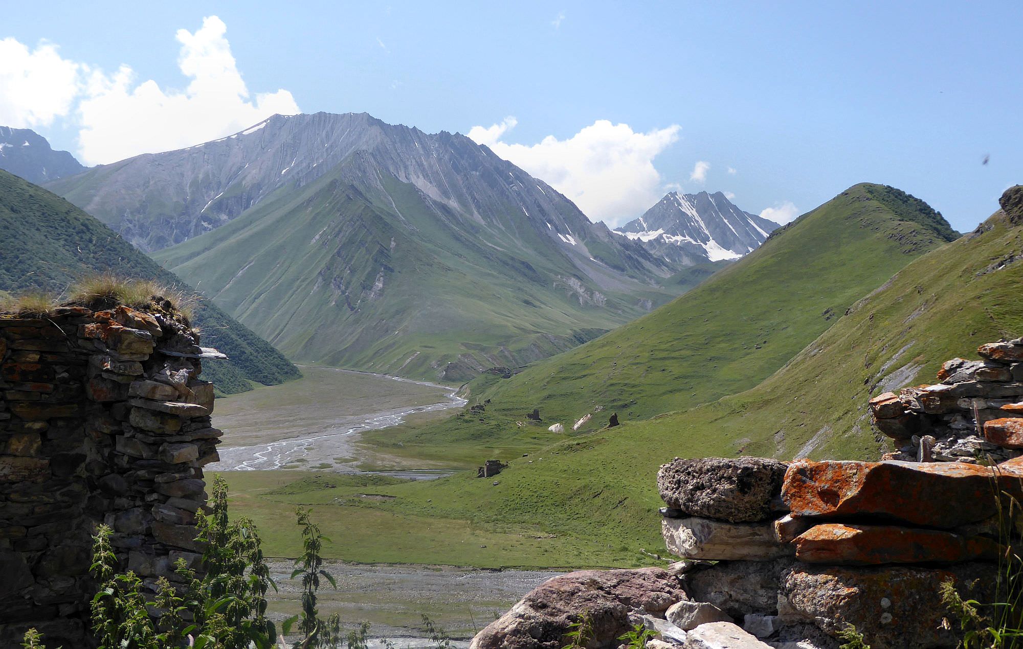

Nice walk in an almost abandoned valley full of interesting travertine formations.
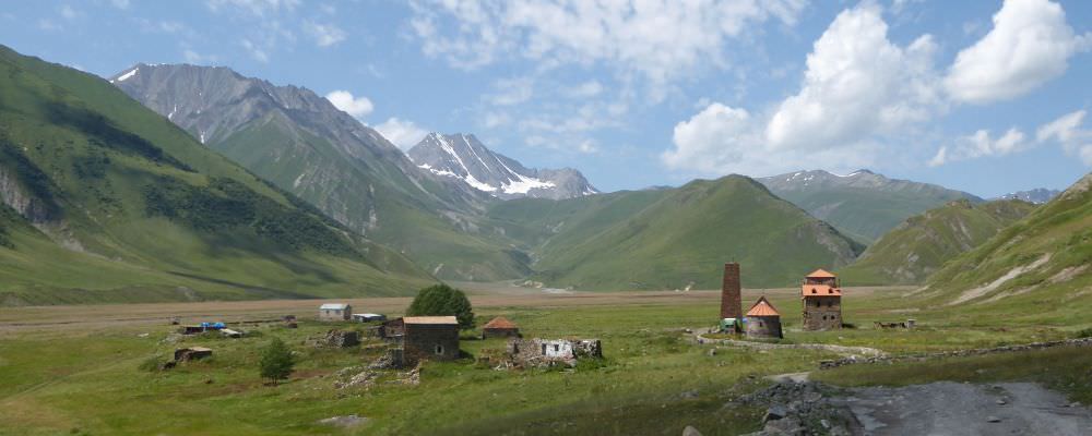
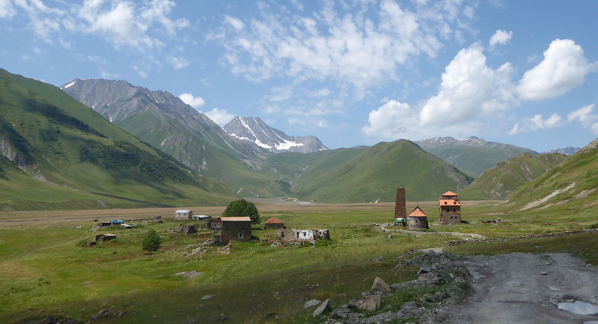
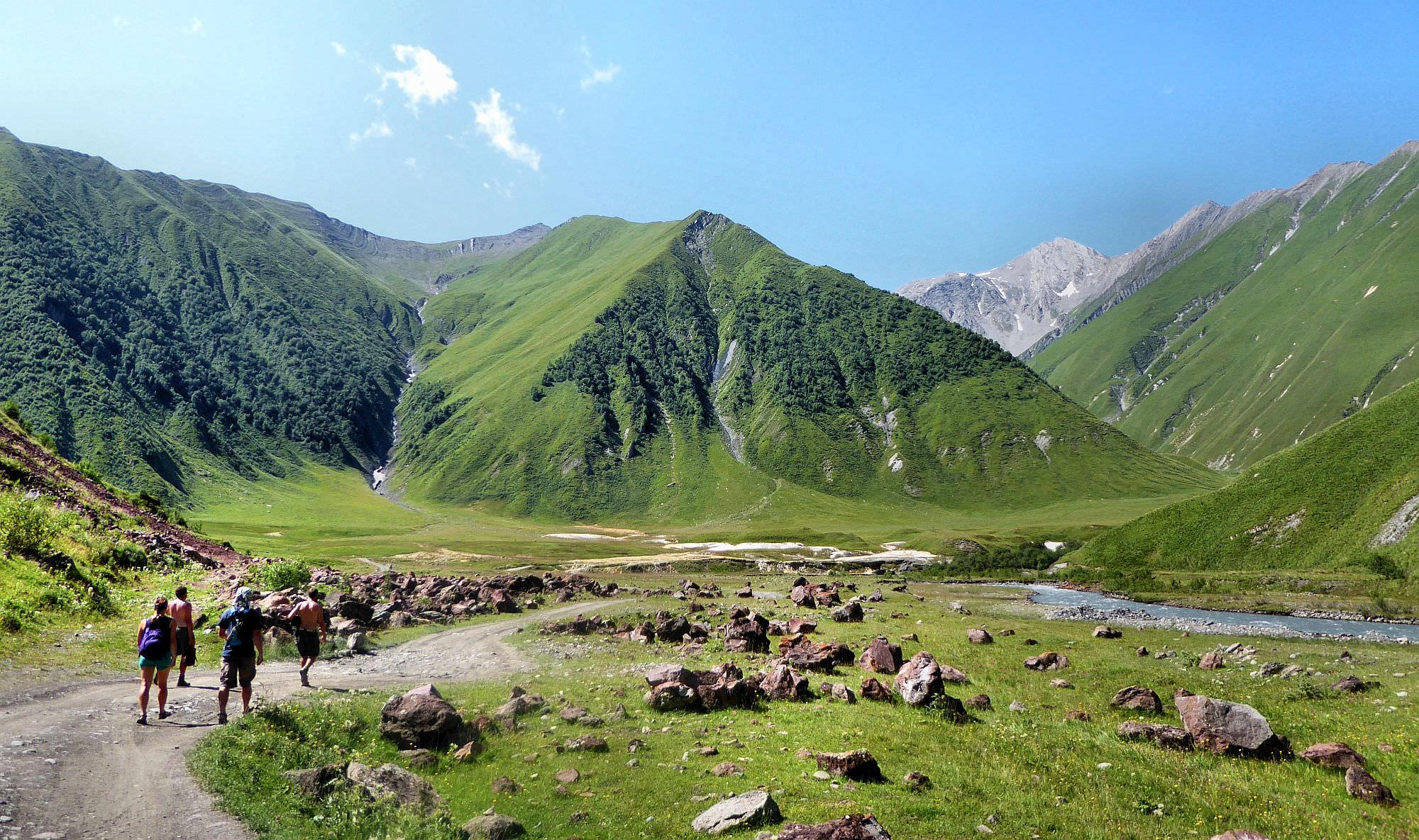
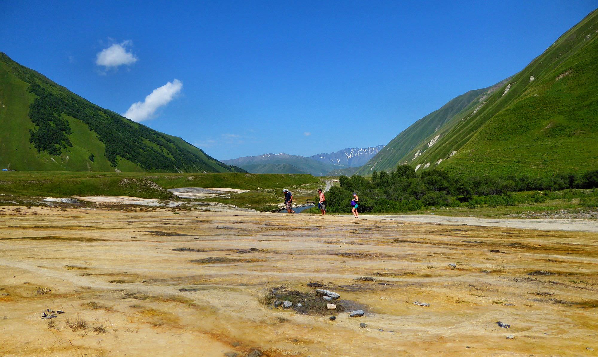
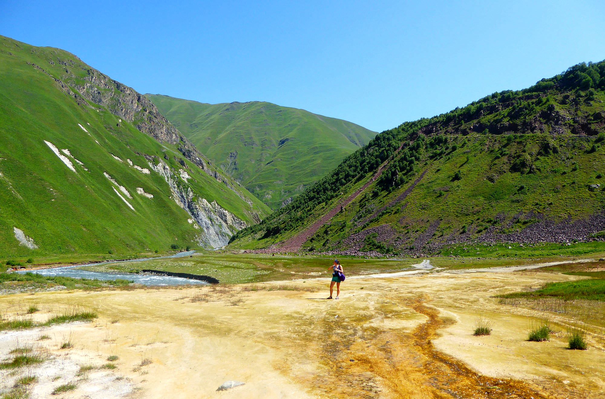
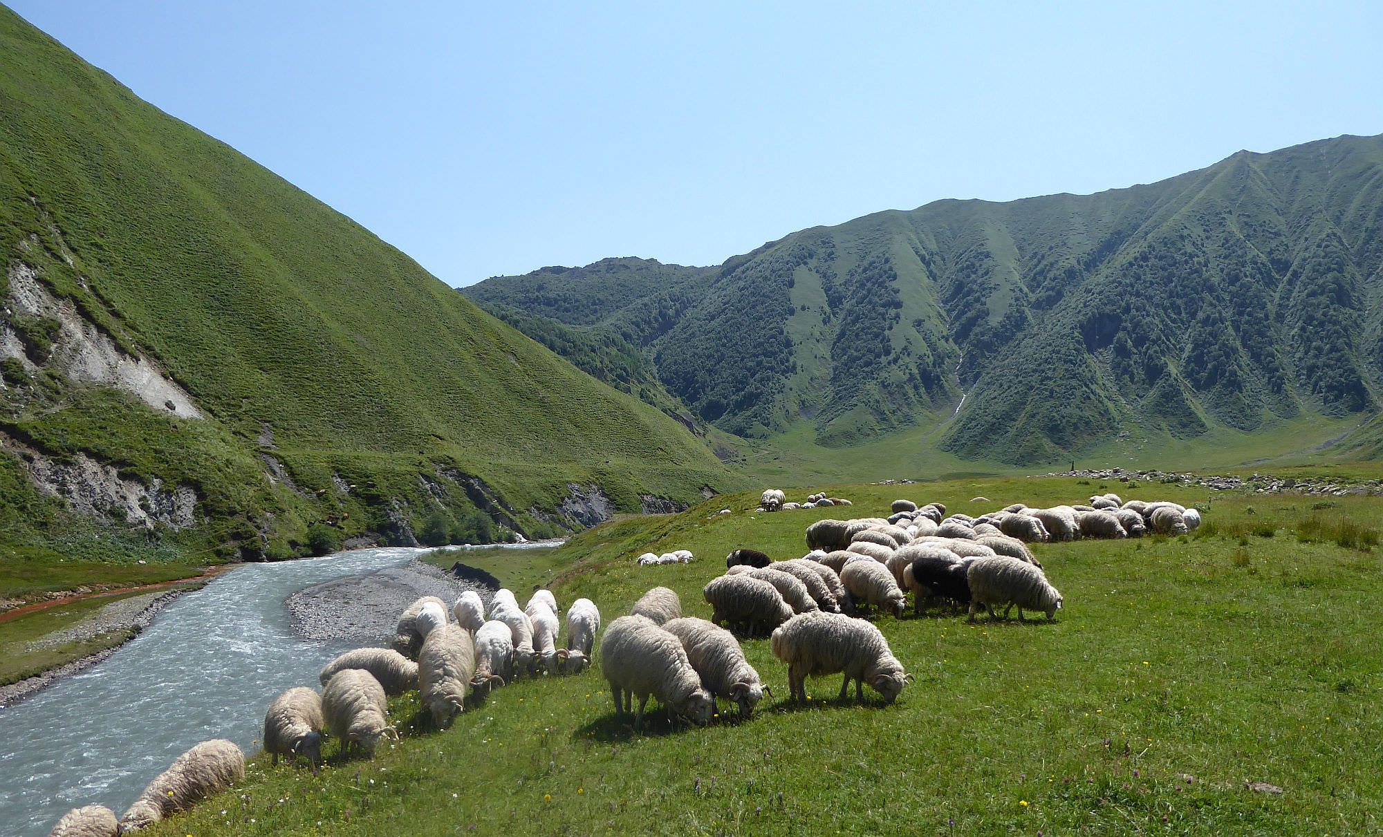
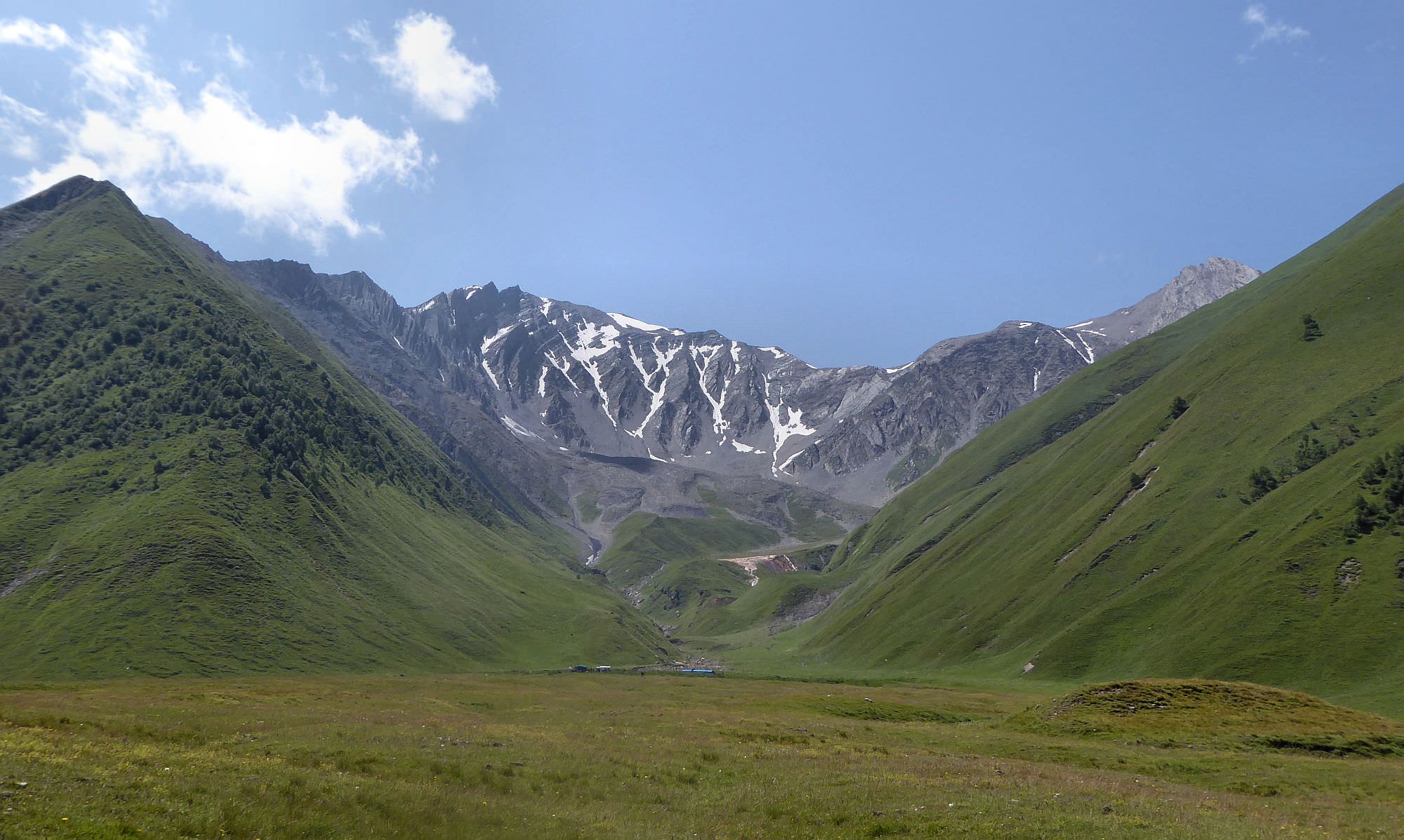
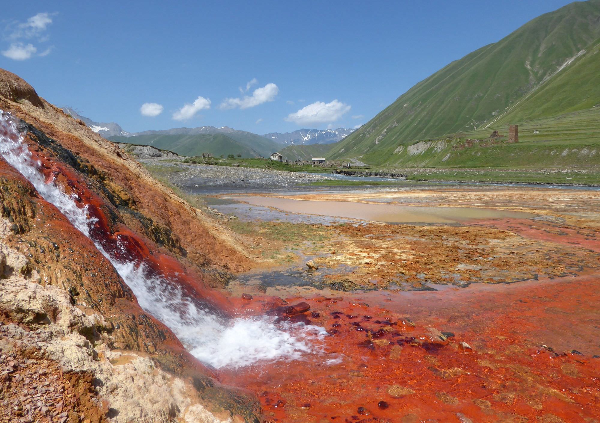
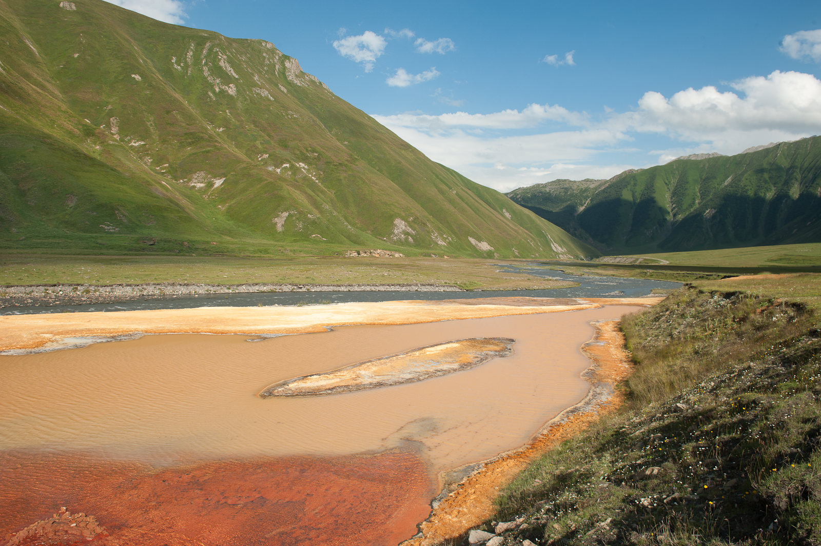
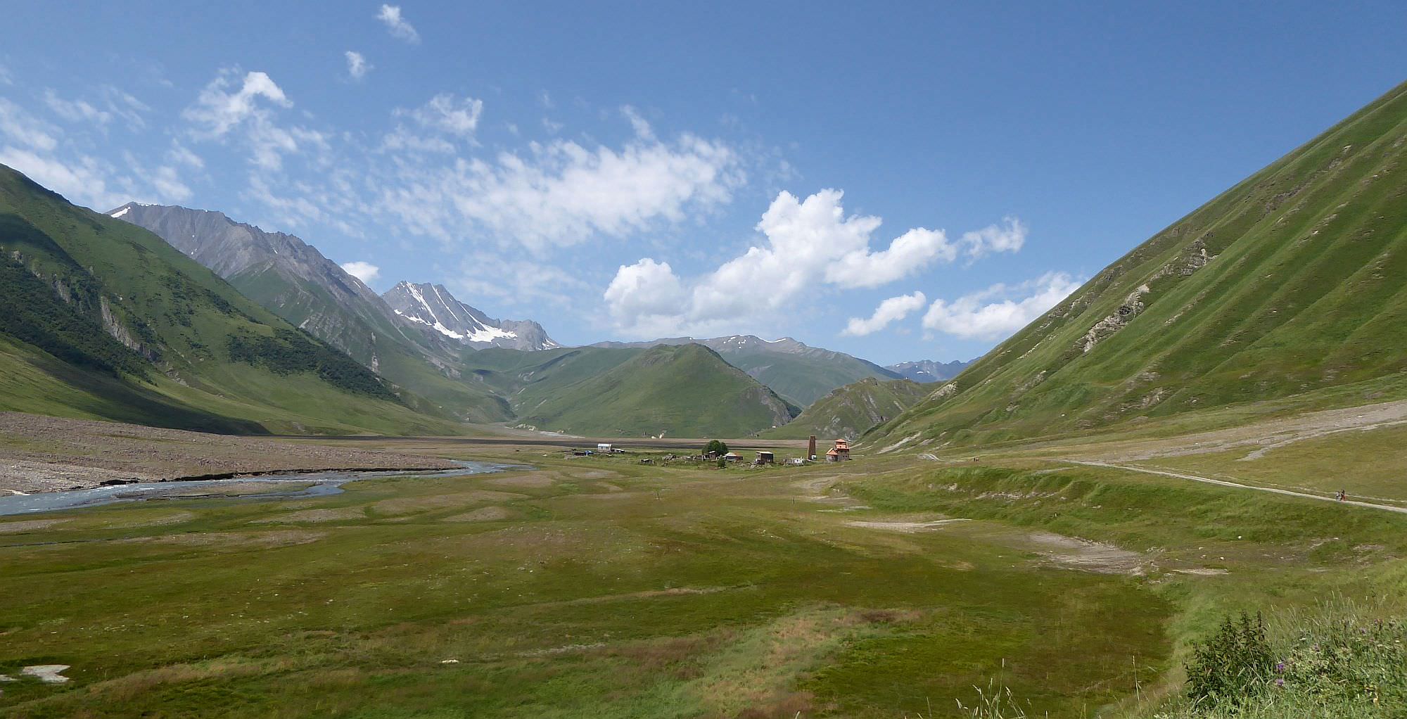
One of the more popular walks in the Kazbegi area - this one explores an almost abandoned valley in the proximity of the Southern Ossetia border. Except for nice mountains around, it is also interesting due to peculiar travertine formations, mineral springs, geyser, mineral lake, ancient towers and several abandoned settlements. It is not possible to explore the whole valley; you have to turn back at the ruins of Zakagori fortress, where is the Georgian border post.
It takes 6 hours to walk from Kvemo Okrokana village to the ruins of Zakagori fortress and back.
Of course, if you drive deeper into the valley and park by first travertines, the whole walk takes only about 4 hours.
Mostly comfortable walk on the dirt road without major elevation change, but still - it´s 22 km.
If you park deeper into the valley, the difficulty is Easy.
Entrance to Truso valley lies on Georgian Military Highway, some 20 km south of Kazbegi at the Kobi village. In theory, you can ask your marshrutka driver to drop you there, but you would be still 4km away from the Kvemo Okrokana village where starts the actual walk so I can´t recommend it. So, if you don´t have your own car, you are down to two options.
One of them is goold old taxi - you can easily hire one at Stepantsminda´s main square. Negotiate also a return trip, so they will wait for you at the entrance of the valley. Prices could vary quite a lot but "normal" one is about 80-100 GEL. This option makes sense if you are travelling in a group of three or more.
Couples and individual travellers will, on the other hand, prefer a daily shuttle arranged by Mountain Freaks Travel Agency that brings tourists to Kvemo Okrokana village. It departs twice a day, at 9:00 (return at 16:00) and 11:00 (return at 18:00) from their office in Stepantsminda (this is also the only place where you can buy a ticket, preferably one day in advance). The price of the return trip is 40 GEL and the bus departs when there are at least three passengers.
The shuttle or most taxi drivers won't go beyond Kvemo Okrokana, but if you have your own car, you can drive even further (a good car with a high clearance is strongly recommended). To get there, you can either drive through the valley (easier variant) or cross the hill south if the river, by a road shown on Google maps. Both routes meet close to the first travertines - this area is also a quite popular parking spot.
So you need to leave Truso valley? You should have thought sooner about it and arranged the return trip beforehand - check the "How to get to Truso valley" section. Even if that advice is not relevant to you, because you just finished some 3-day trek, you should still have the phone number of some driver from Stepantsminda so he can come and pick you up.
If you don't, you will have to walk to the main road and hitchhike there (on the bright side, you probably won't have to wait for long).
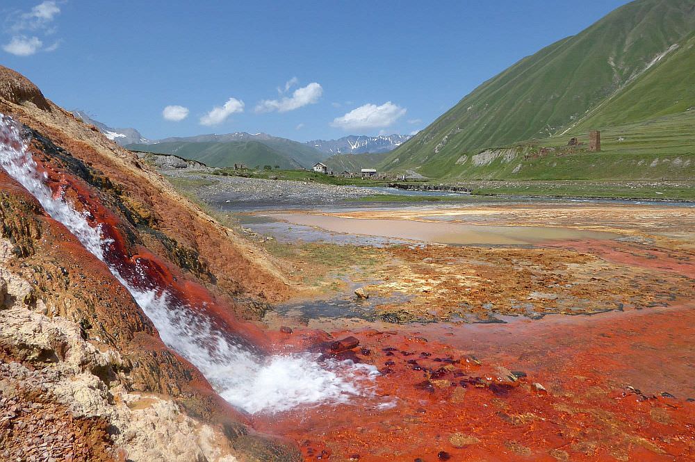
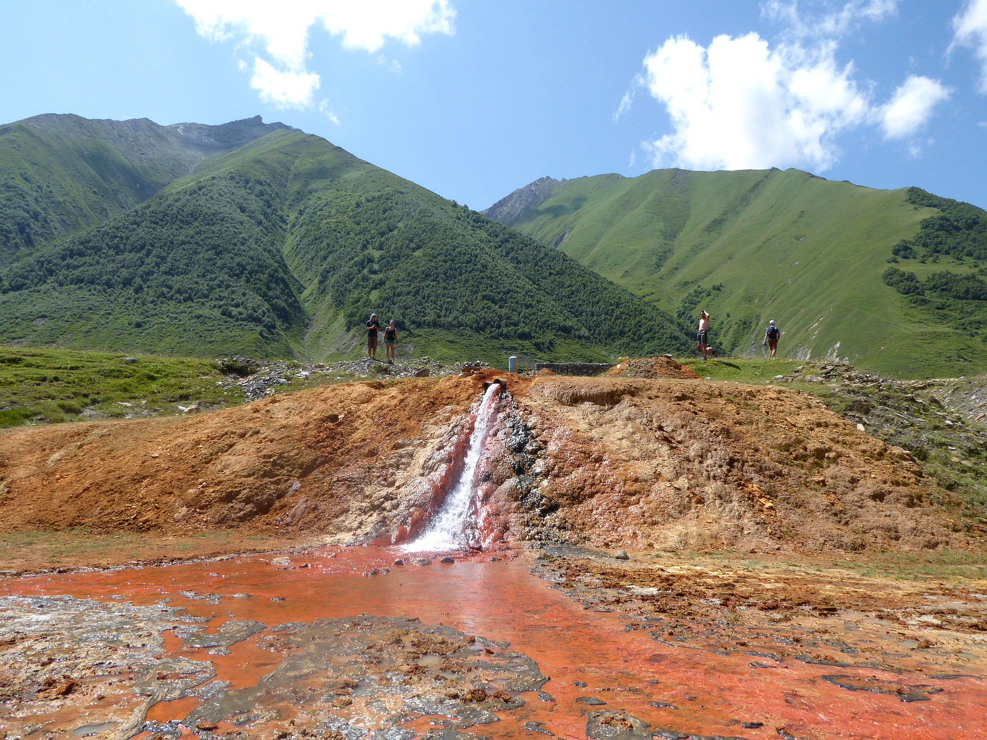
"Geyser" in the Truso valley
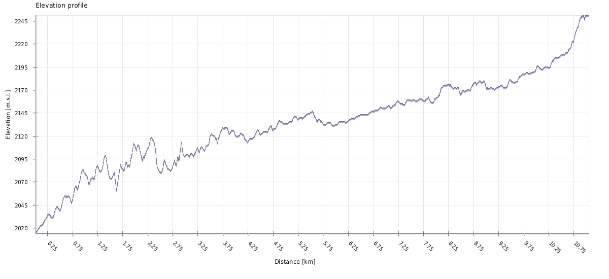
| Distance | 21,9 km |
| Trail type: | Roundtrip |
| Max. elevation: | 2251m |
| Min. elevation: | 2014m |
| Total climb: | 463m |
| Total descent: | 463m |
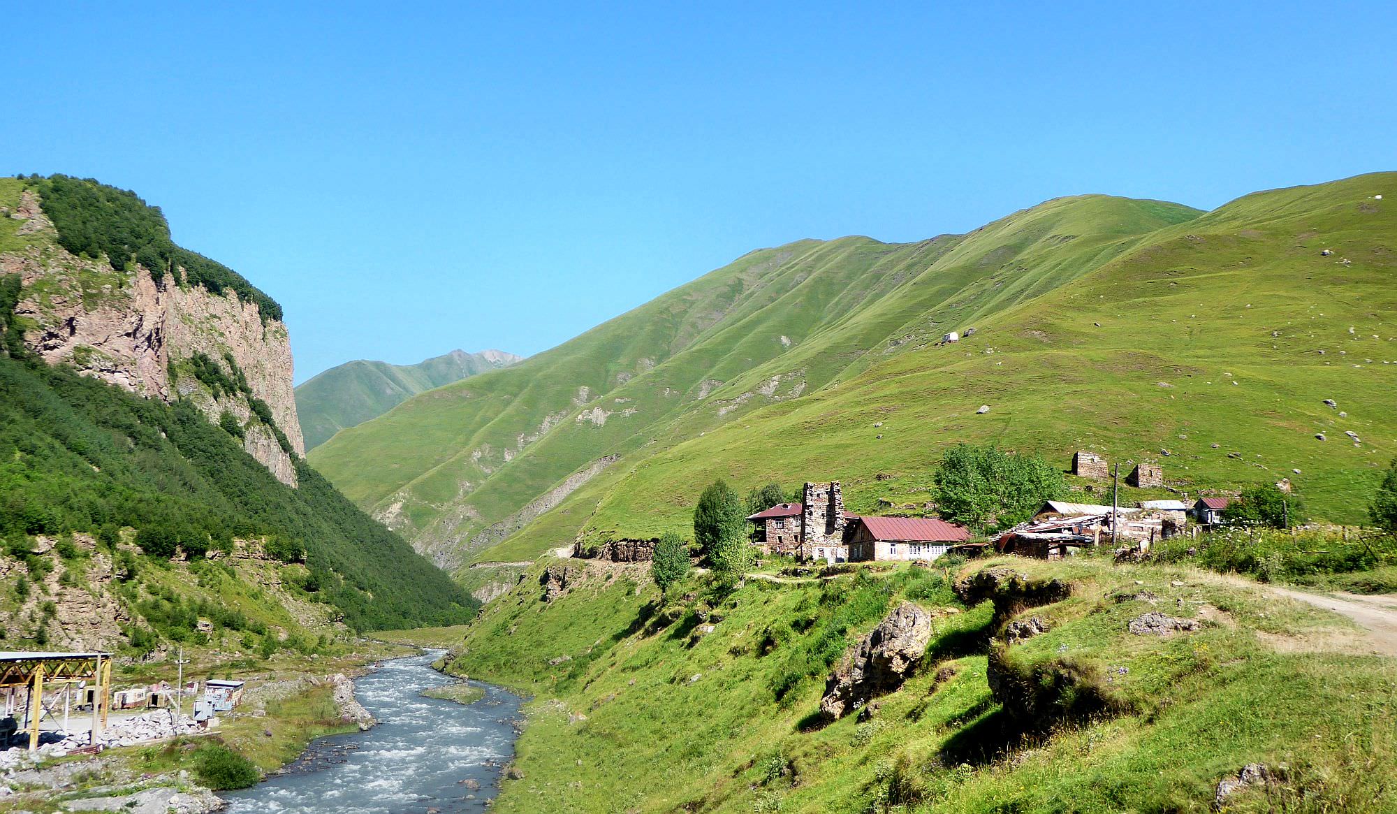
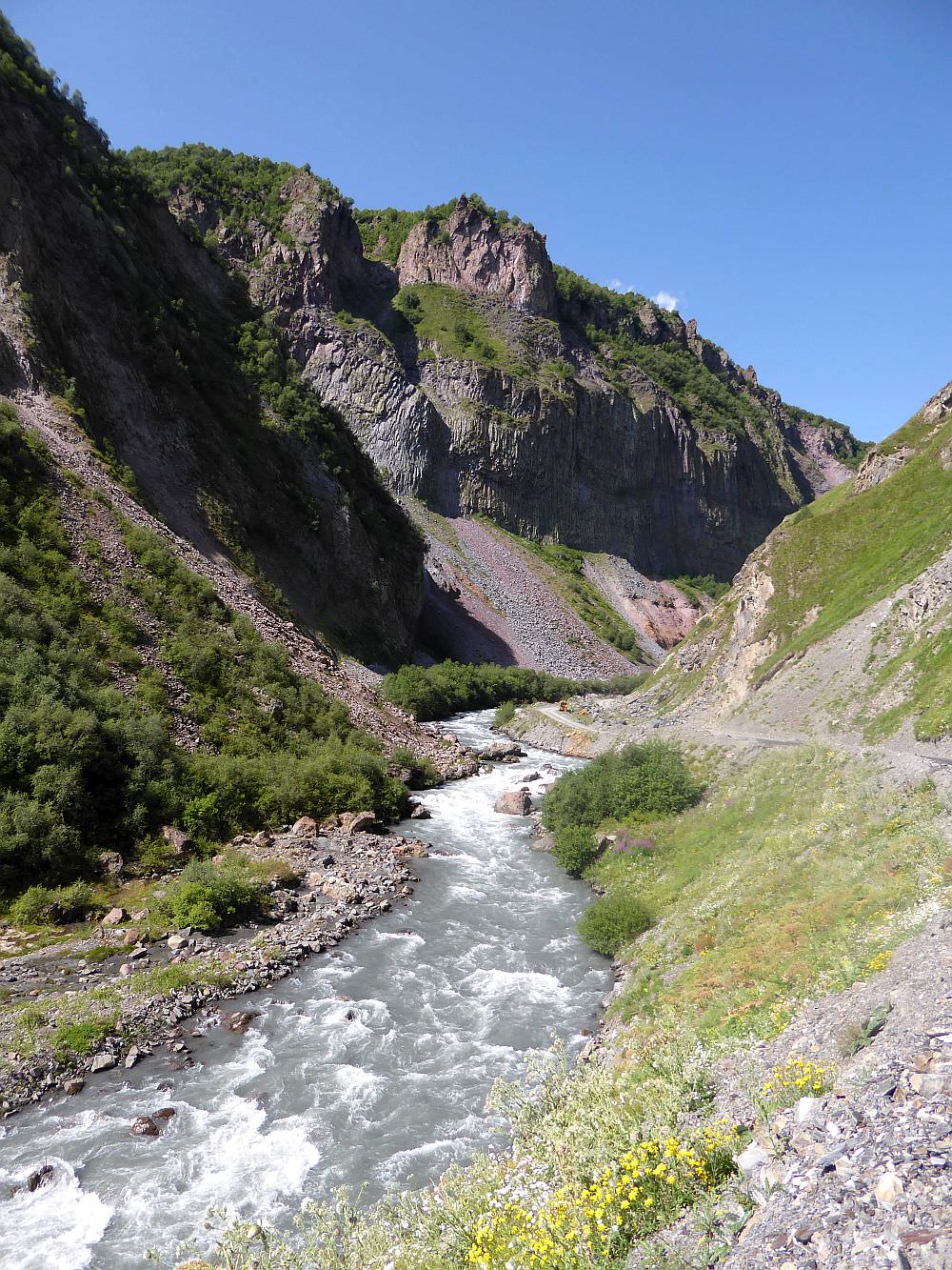
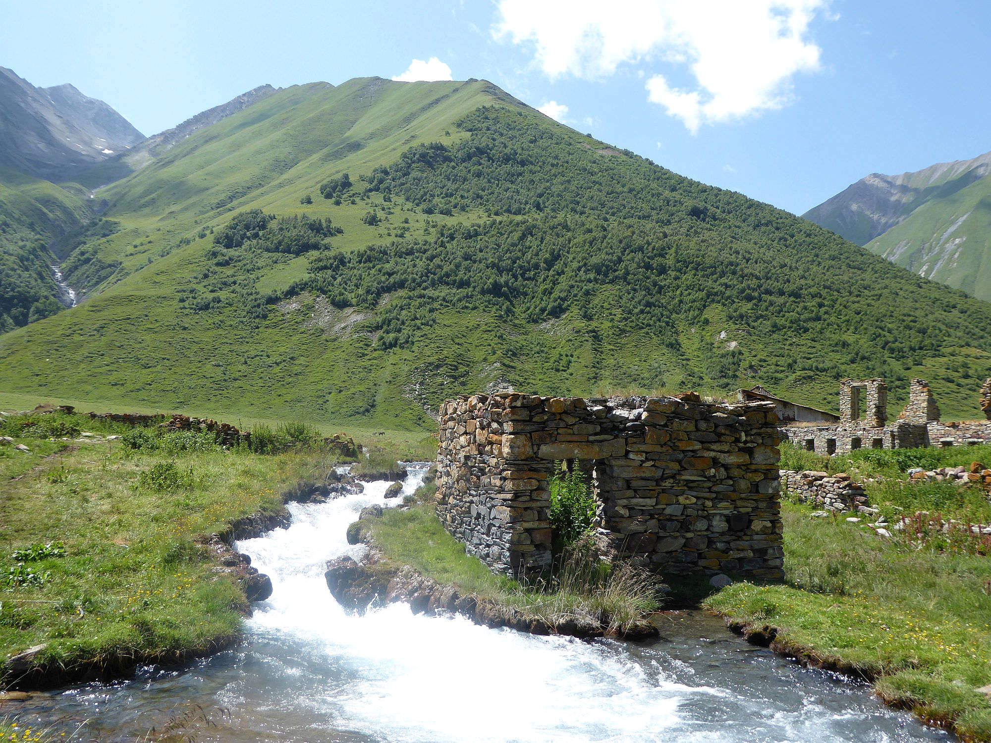
The walk starts at the almost deserted village Kvemo Okrokana. Follow the road by the river - you will pass several abandoned houses and eventually enter the beautiful Kasari canyon. After a few kilometers, you cross a bridge to the right bank of the river.
Shortly behind the bridge, the trail turns to the west and the whole valley opens up before you. Here you can see the first travertines, formed by mineral springs. The ones here are mostly orange and white. There are also several small mineral springs emerging in the area. You can also see a footbridge crossing to the northern side of the river, leading you to a small cafe and mineral lake. We will give it a pass for now, this is a route that we will use for return.
Follow the main road and you will soon come to another group of forming travertines, this time of mostly red color. The mineral water here bursts from a pipe (the place is also known as a “geyser”).
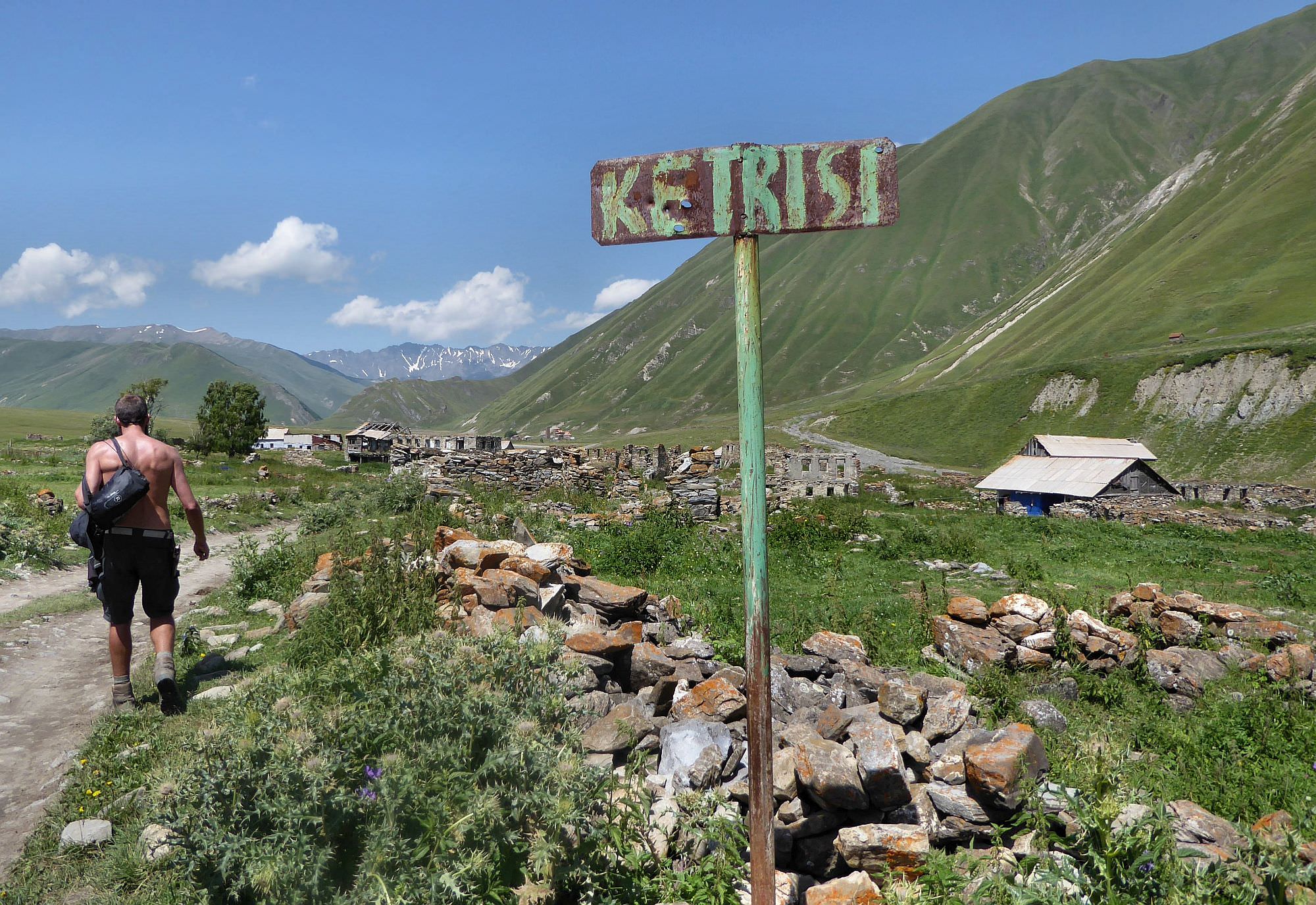
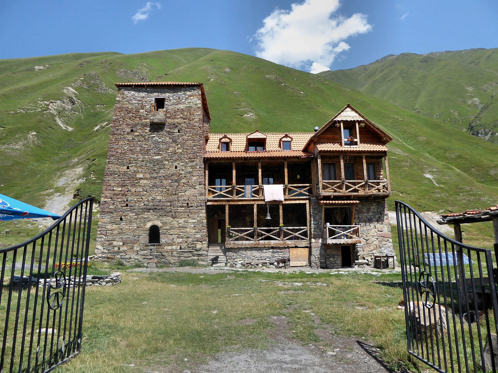
Further down the road lies Ketrisi village, mostly in ruins, but few houses are still occupied. At the end of the village, cross the bridge to the left bank of the river. Here you will find several monasteries. First, you see a pink one, then you will come to a very nice, newly reconstructed nun´s monastery. Nuns are friendly, it´s even possible to rest in the garden.
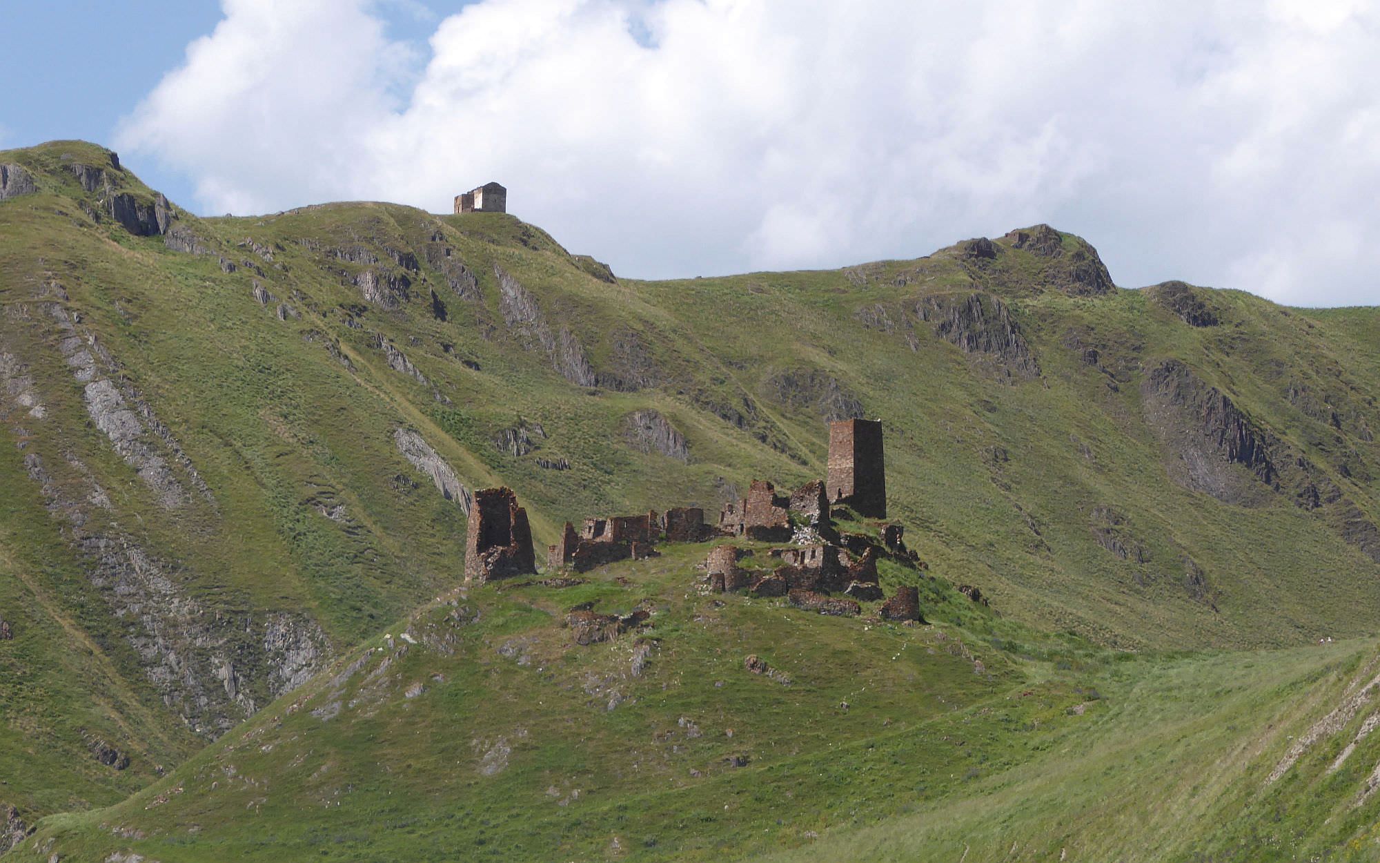
Then it´s only a short walk to the ruins of Zakagori fortress. There is a soldier´s post below the fortress - you cannot venture deep into the valley, but you are allowed to climb the hill and explore ruins. There is no reason not to - the view from the top is pretty nice.
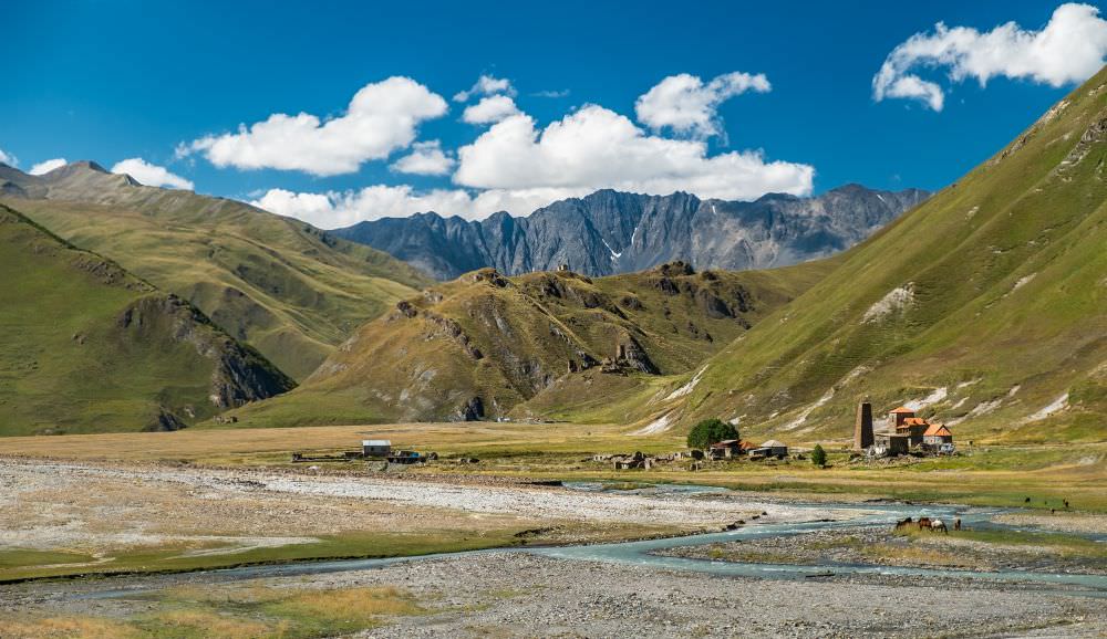
Abano monastery and Zakagori fortress (by Jussi Saha)
You can't continue any further unless you have a permit (the procedure to get is described under treks exploring the area more deeply such as Suatisi - Mna valleys trek).
To explore everything the valley offers, we will make a slight detour on the way back. At Ketrisi village, we won't cross the bridge to the right bank, but stay to the left from the river and follow a trail running by it. Some half an hour later, you will reach Abano lake, a small, but very nice mineral lake typical for its beautiful tourqous turqoi ... blue water. I saw also some people taking a dip in it, but I am not sure if it's very healthy considering the water composition.
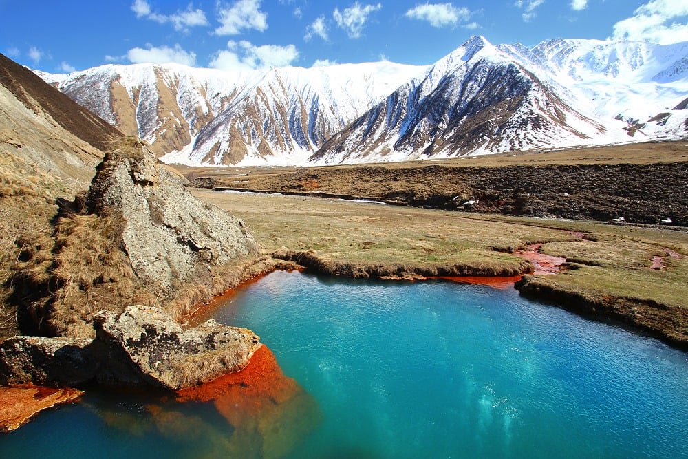
Abano lake (by Jolana Sedláčková)
