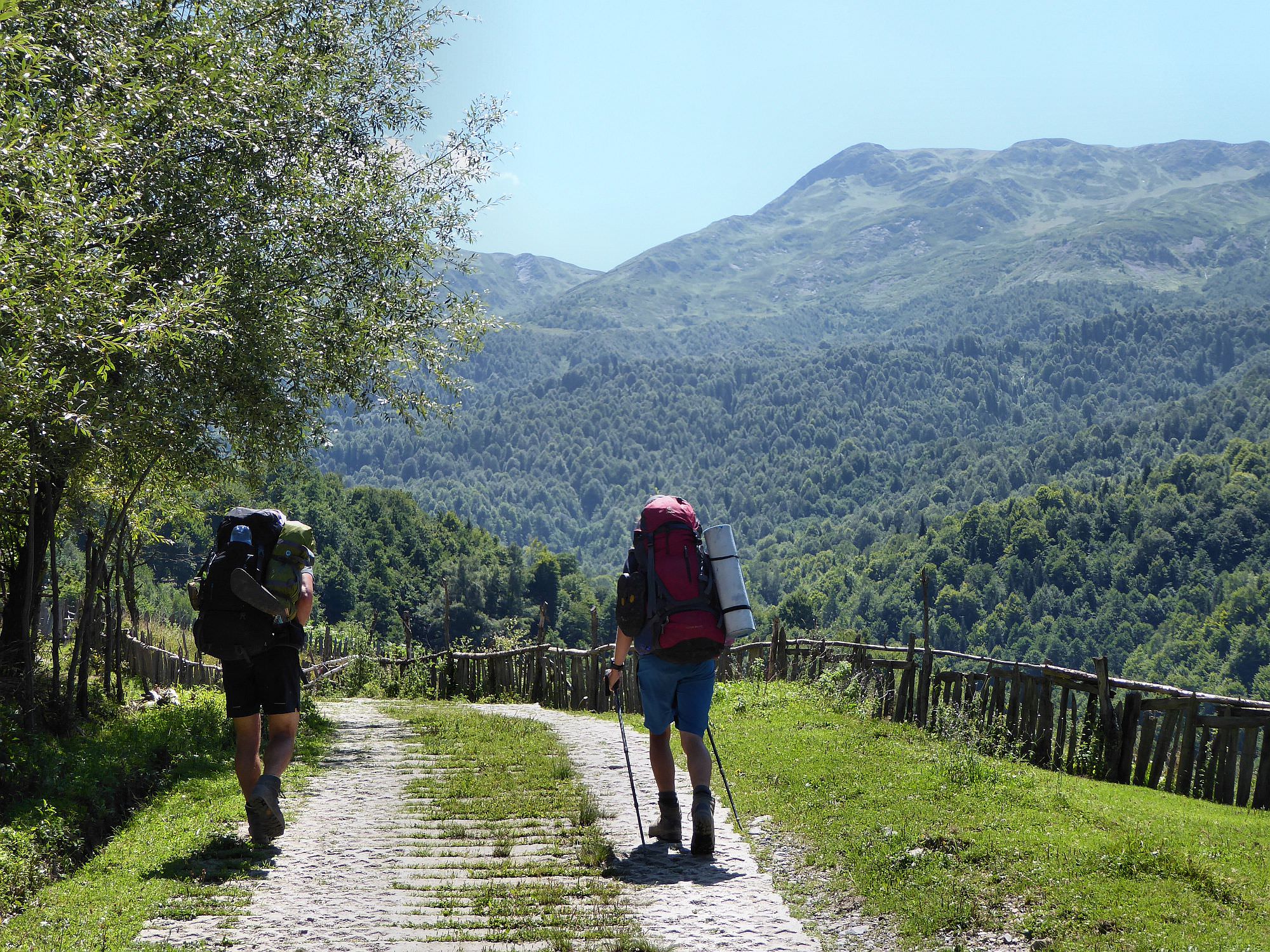
Attractive, yet little-visited trek connecting Lower Svaneti with Lower Racha.
Lechkhumi range is a 60 km long and 25 km wide mountain chain that separates Lower Svaneti from Lower Racha. There are only a few trails in these mountains - the old ones, once used by shepherds were mostly taken back by nature.
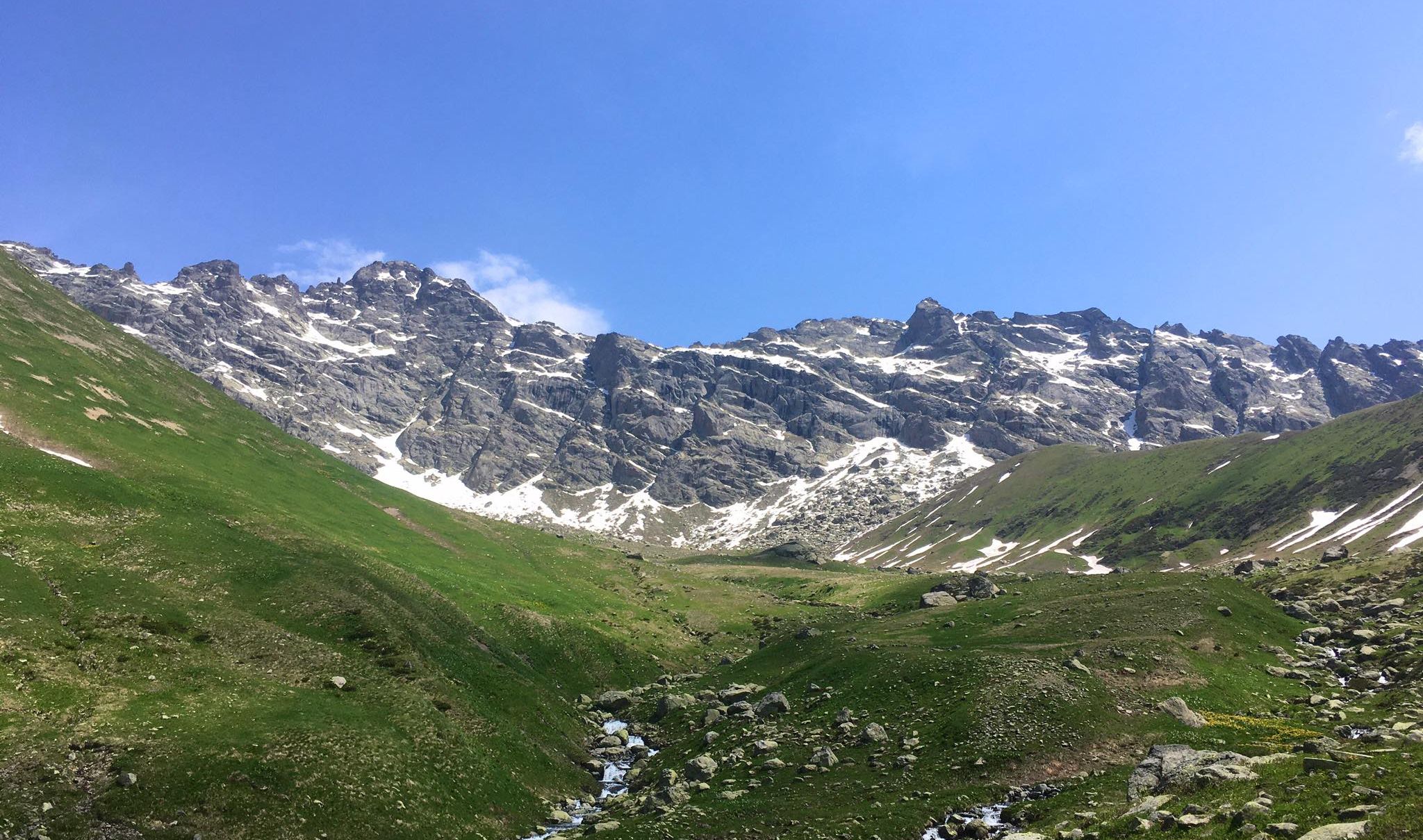
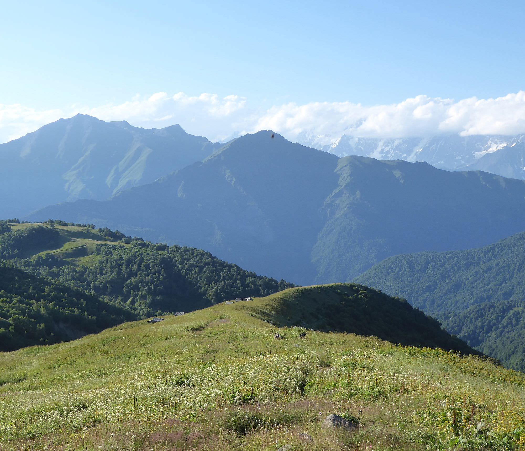
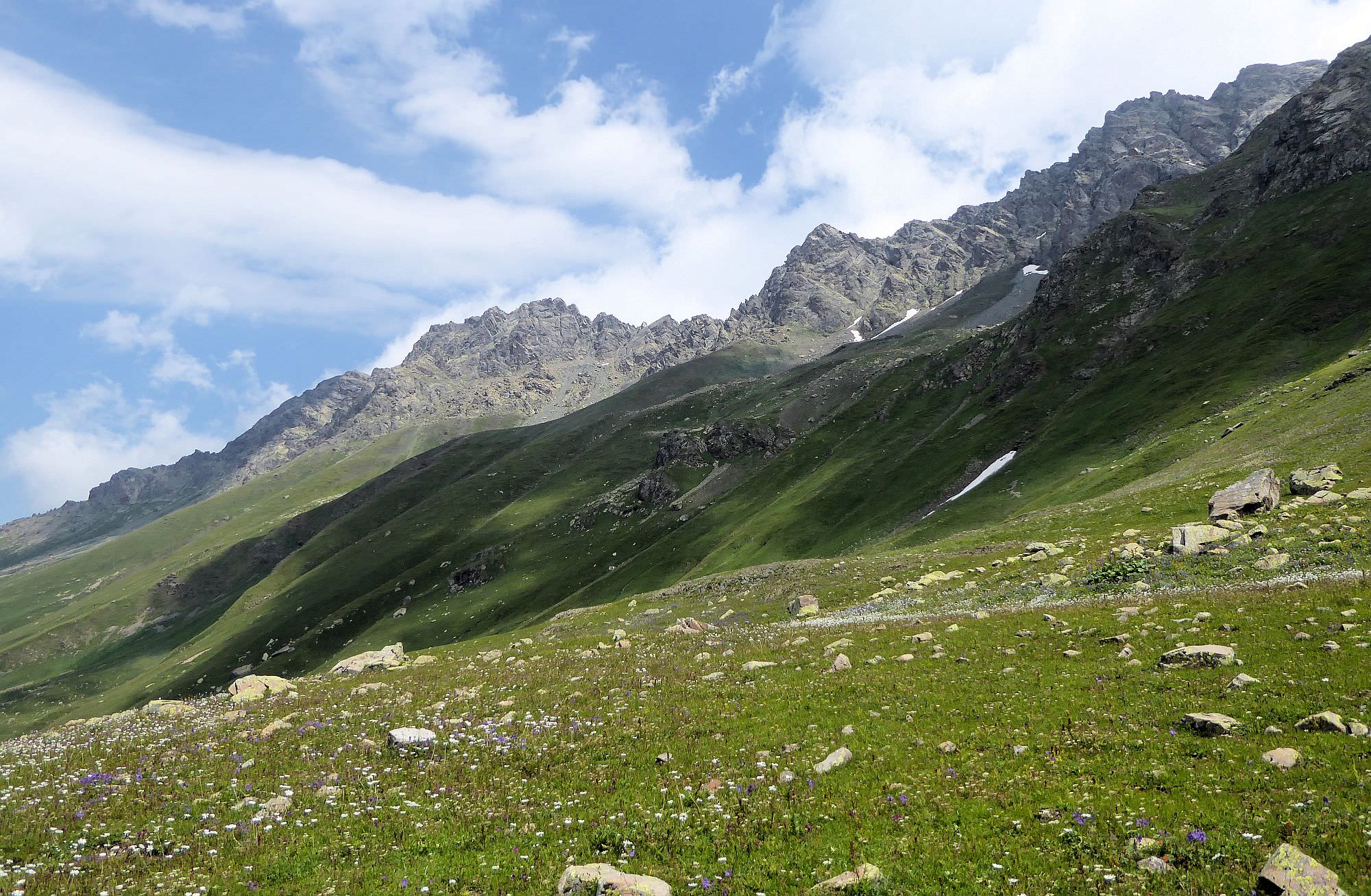
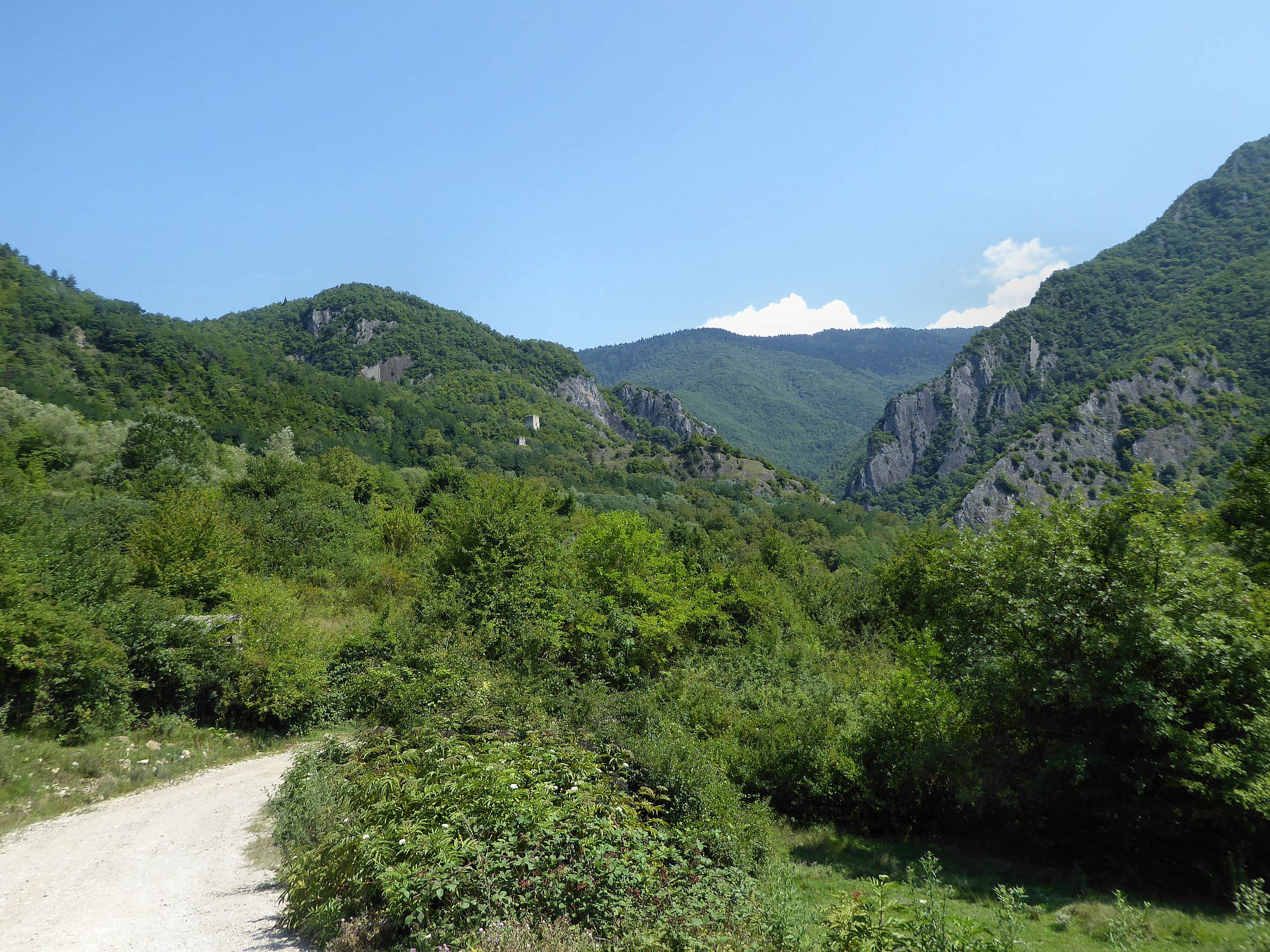
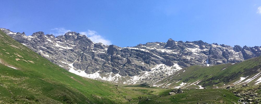
Among those still existing stands out "Chutkharo route". It crosses Lechkhumi at its most scenic point - over 3000m high Kelida pass, situated right beneath Chutkharo massif (3562m), the highest part of the range. You will spend a lot of time in forests but once you get above the treeline, you will get a chance to admire the impressive stone wall of Chutkharo massif. And what´s even better, there is a solid chance that you will hike in the total solitude - many hikers aim for higher ranges further to the north and leave these beautiful mountains unspoiled.
The trail was recently marked by red markings but due to the nature of the terrain, they are sometimes hard to follow so you will definitely need a map of some kind of GPS navigation.
The trek takes 2 to 3 days to finish. Below, I describe the 2-day version of the trek mainly because it involves camping by the lake. It's quite a walk, but if you don't loiter too much, it's completely manageable. Of course, if you have enough time, taking three days is also fine.
This is not a walk in the park - while an inconsiderable part of the trek follows dirt roads, in upper reaches of both valleys, the trail often disappears. But what affects the difficulty even more is how much time are are you willing to devote for this trek. If you have three days, the difficulty is moderate but if you want to finish it in two days, it´s definitely Hard.
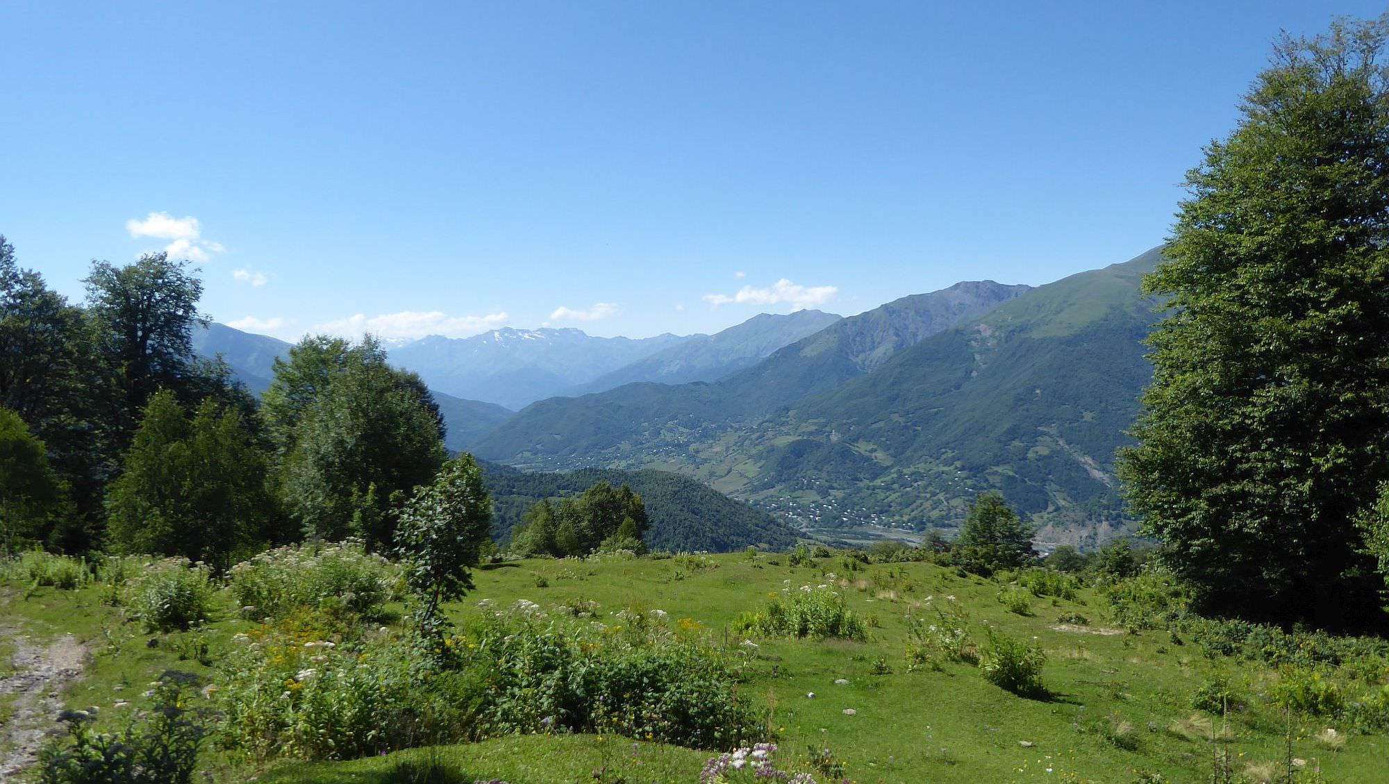
Your best bet are marshrutkas servicing Lower Svaneti. They depart from Kutaisi bus station each day at noon (its final destination is Mele). The trip should take no more than three hours. On Tuesdays and Saturdays, there is one more marshrutka departing at 4 pm from the same station (red car, locals call it "Zafro").
However, the village lies a bit off the main road passing through Lower Svaneti. So you will need to tell a driver that you are going to Shkedi and he will drop you at the correct spot. From there, it´s a 30-minute walk to the trailhead.
Of course, there is always an option to take a taxi - makes sense especially if you want to link this trek to the crossing of Latpari pass. The taxi from Chvelpi to Shkedi should cost about 50-60 GEL.
Leaving Sadmeli is not easy as one can´t rely on public transport, there is only like one bus in a day. Your best bet is to hitchhike to nearby town Ambrolauri, the local travel hub. Here, you can catch marshrutka to Kutaisi - they depart at 13:00 and 17:00 and cost 7 GEL.
This post covers the route which starts in Shkedi and ends at Sadmeli. However, this trail has more variants - while start in Shkedi is more or less set, once you cross Kelida pass, you can pick from three possible destinations. There are trails that end in villages Likheti and Uravi. These are more than a viable alternative - they are marked and even a bit shorter compared to the Sadmeli route.
So why did I choose Sadmeli? There were three reasons - it is the route I had the most info about and Sadmeli is easy to leave since it lies by the main road. Also, there is a hipster bar at the end :)
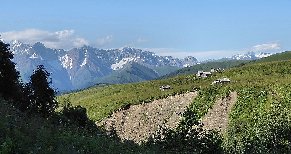
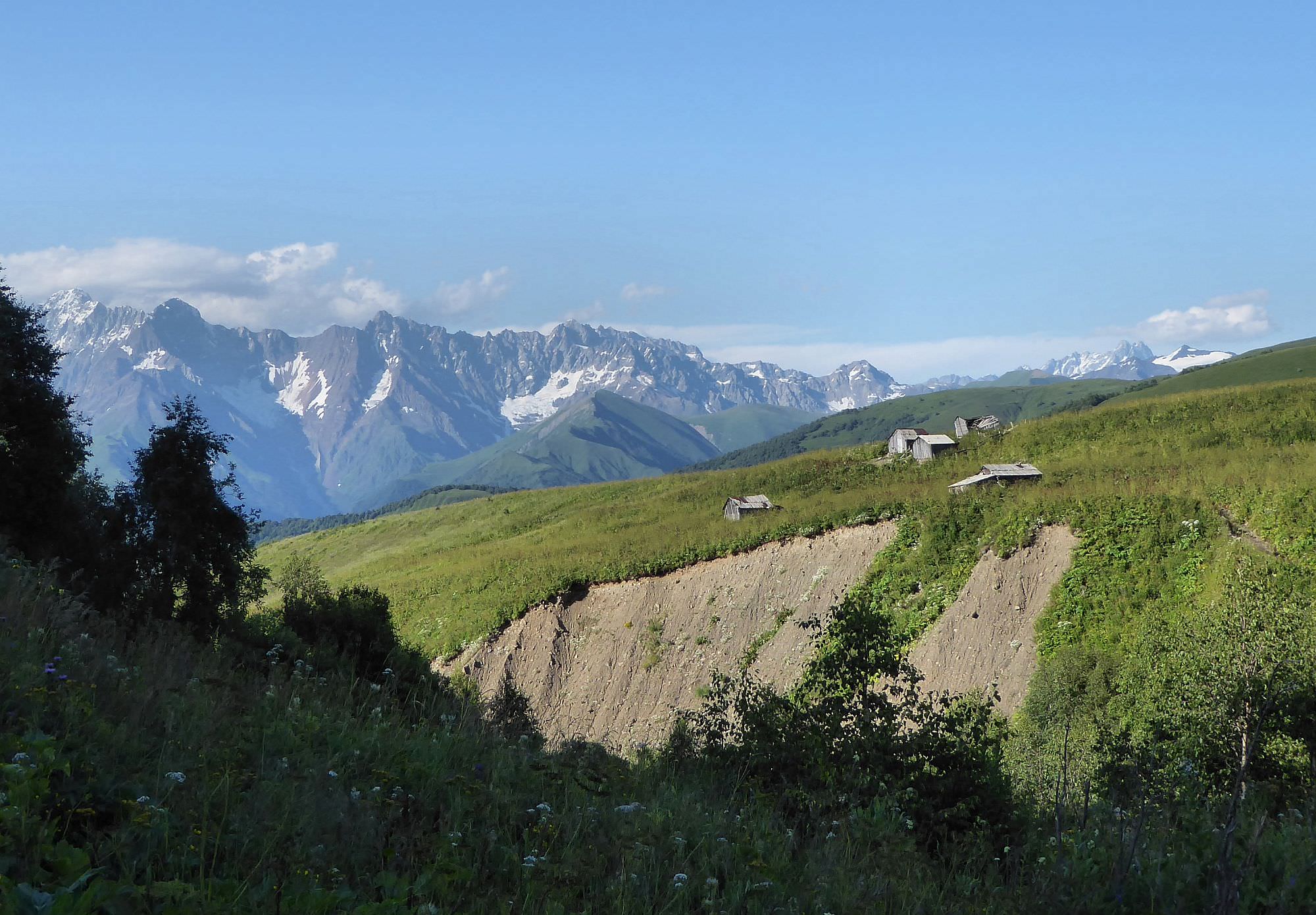
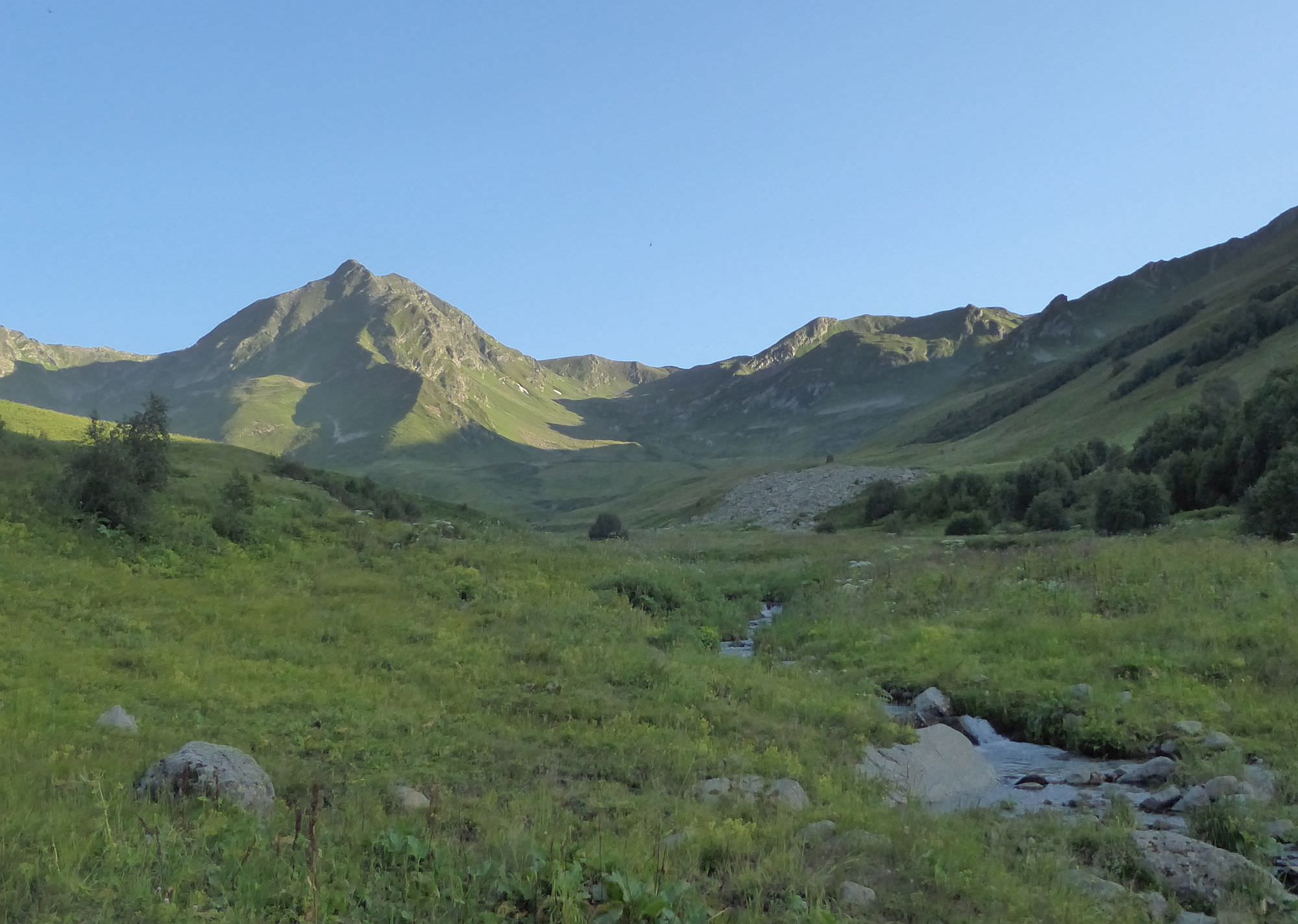
Shepherd´s huts above Skhedi village
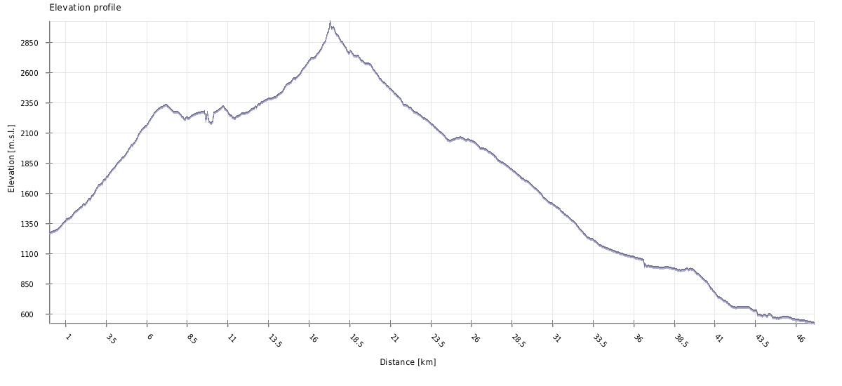
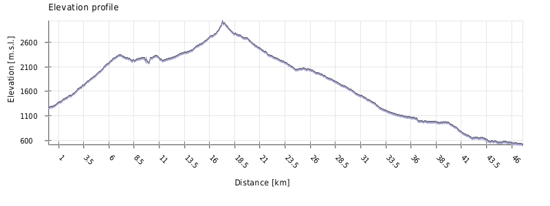
| Distance | 47 km |
| Trail type: | AB trip |
| Max. elevation: | 3036m |
| Min. elevation: | 522m |
| Total climb: | 2456m |
| Total descent: | 3205m |
The trek starts by the bridge at the northern entrance to the village. Follow the river to the next bridge, then turn left and walk past a newly built playground. After a short walk on the panel road, you will reach a few more houses - the road snakes between them and crosses a small stream. Here you will find a panel with a detailed map of the area and some info about trails ahead. For the major part of the trek, you will follow white/red markers.
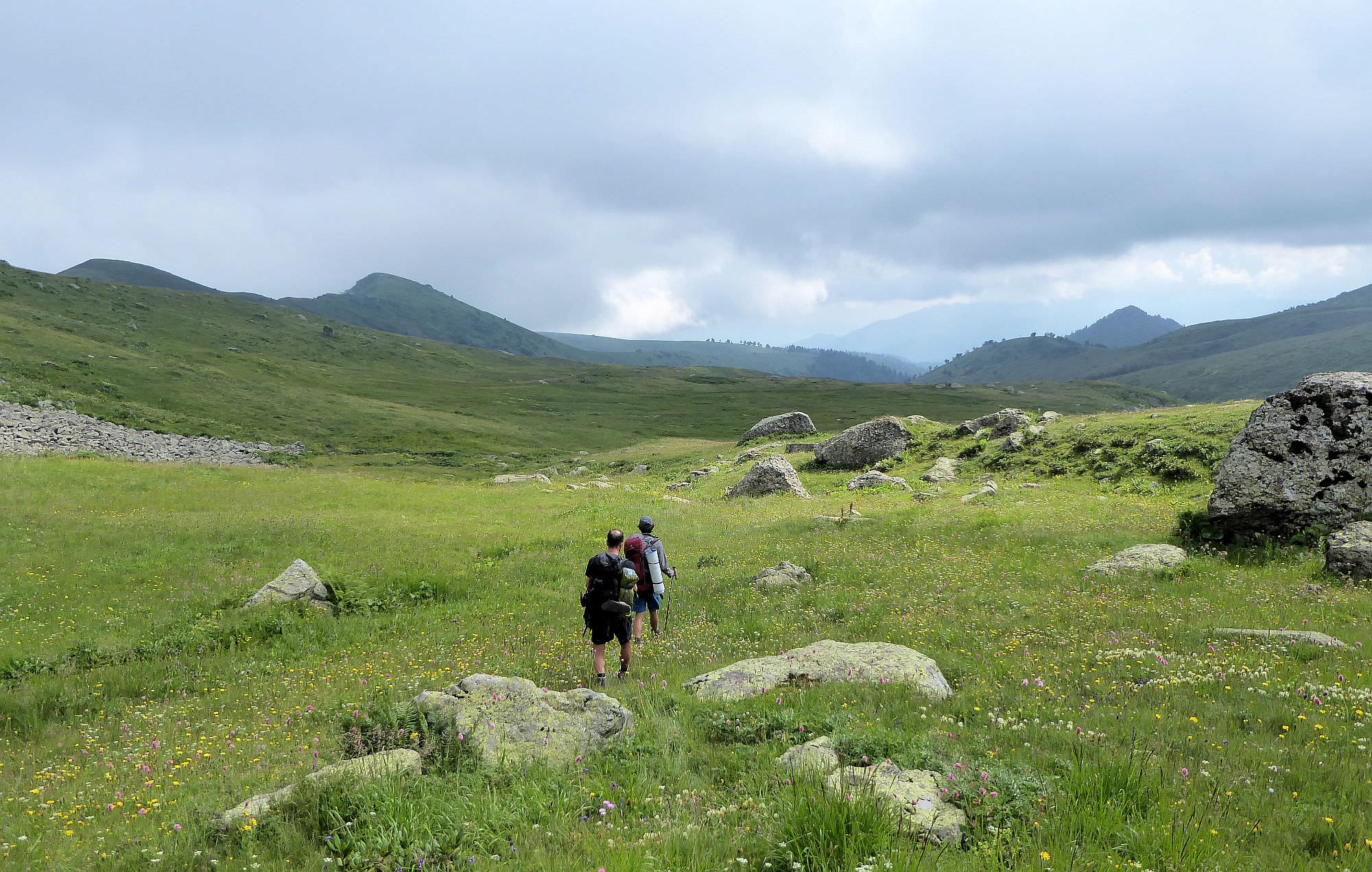
There is not much to say about the next few hours. You will just follow a dirt road, steadily climbing through the forest. The road passes also several pastures and shepherds huts - at these places, it sometimes splits but you just need to stay on the main branch.
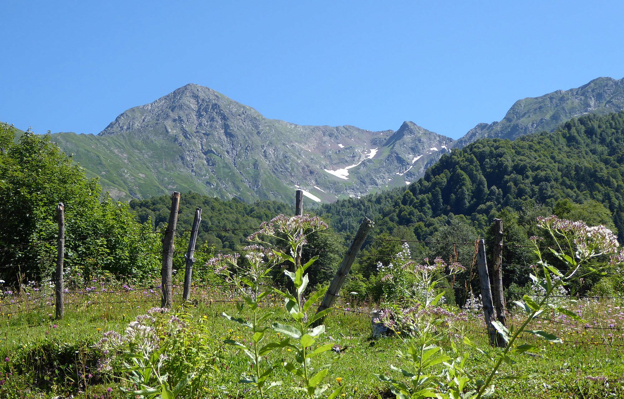
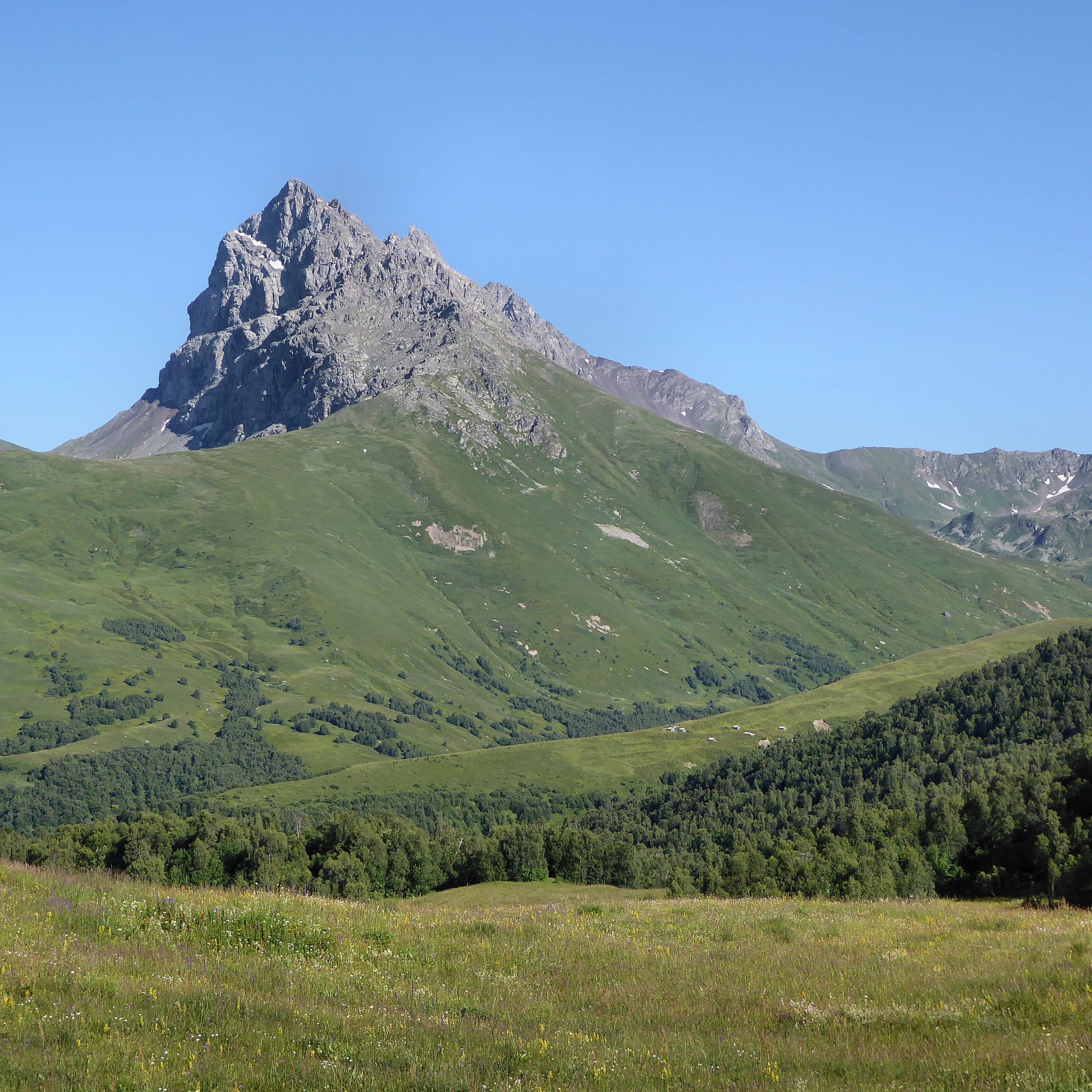
Finally, the road climbs a small ridge at the altitude of 2300m and disappears. In front of you appear Mt. Gurushbu (3456m), the northernmost peak of Chutkharo range and deep beneath, you will see a bunch of shepherd's huts. This is where you need to get, but there is a Chaiabakh gorge in-between. The trail goes straight towards the gorge for a while but then turns right and traverses the hillside, going slightly down. The trail crosses four small tributaries and then finally crosses the Chaiabakh river itself. From here, it climbs through hogweed field to huts mentioned above - we tried to find a camping spot here but the terrain was rocky and huts incredibly dirty.
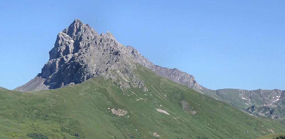
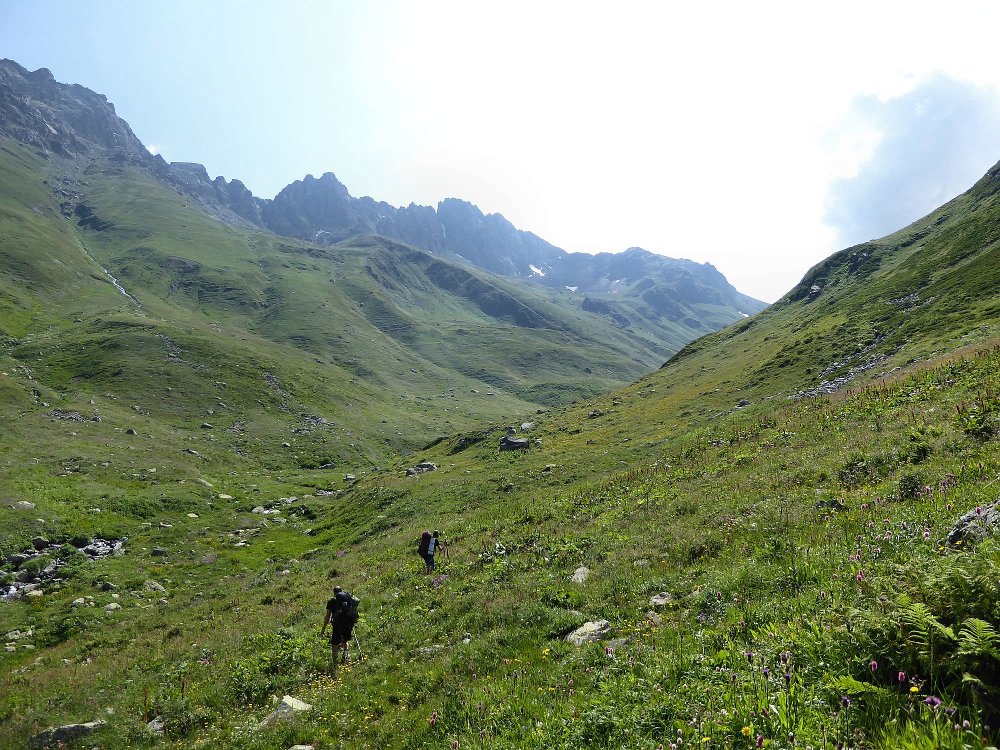
Mt. Gurushbu is the northernmost peak of Chutkharo mountain range
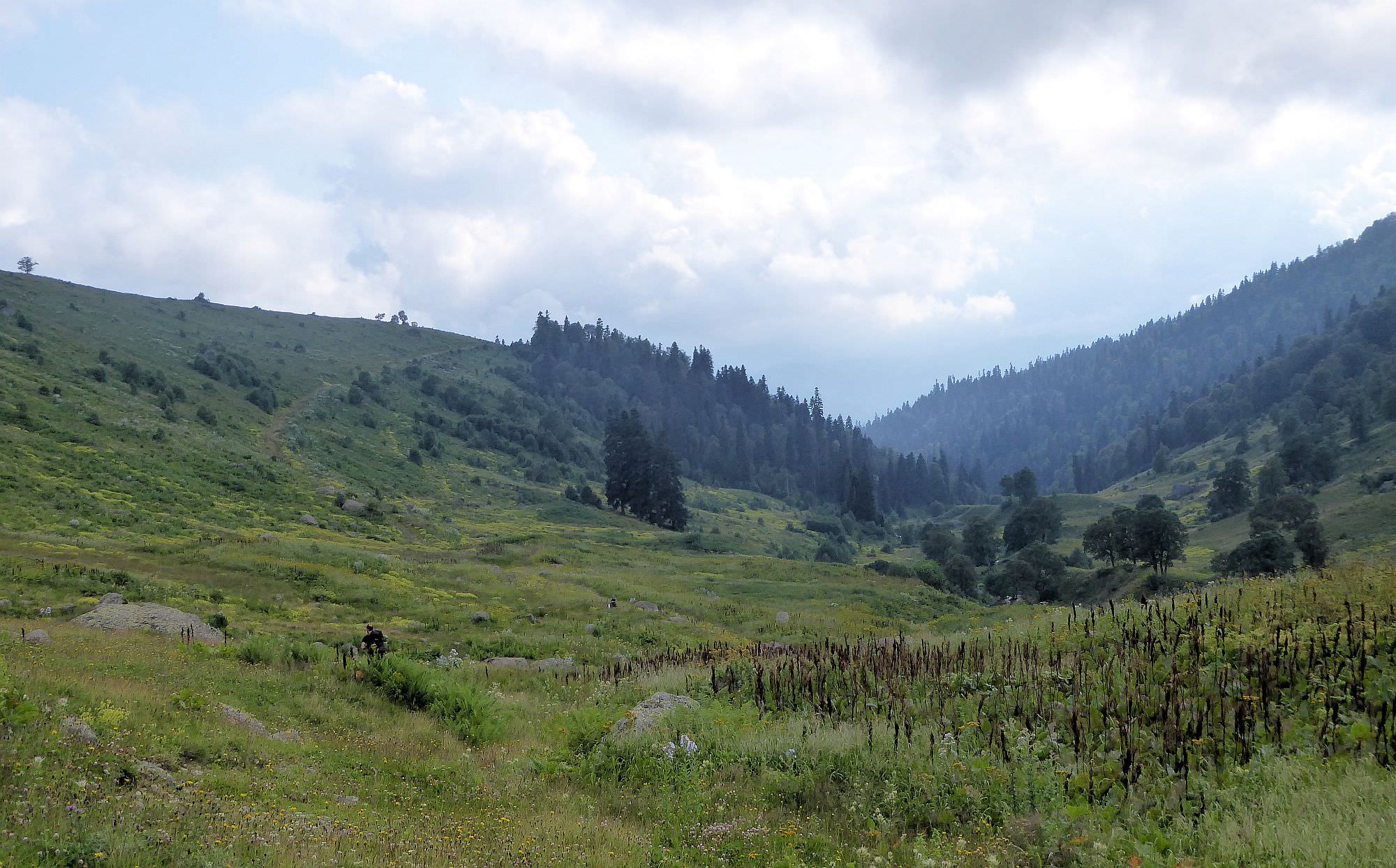
Follow the trail towards the huts. Once you walk past the last of them, it turns sharply to the south and for some 300 meters follows the top of a small ridge separating Chaiabakh and Gobishuri valleys. Then, you will need to spot the remains of an old track going down to Gobishuri (it's not easy, we missed it and had to backtrack). Follow the track down to the river and cross it at another abandoned hut. This is where we camped (we started hiking afternoon), there is a water source but the terrain is very wet.
From the hut, follow the Gobishuri river for about an hour - the trail here is in a very bad condition and frequently disappears. Then cross the river again to its left bank and keep climbing to the higher sections of the valley. Eventually, you will see a plateau ahead, from which flows the largest source of the river. Cross the river again when beneath it and then comes the short but steep climb to the top.
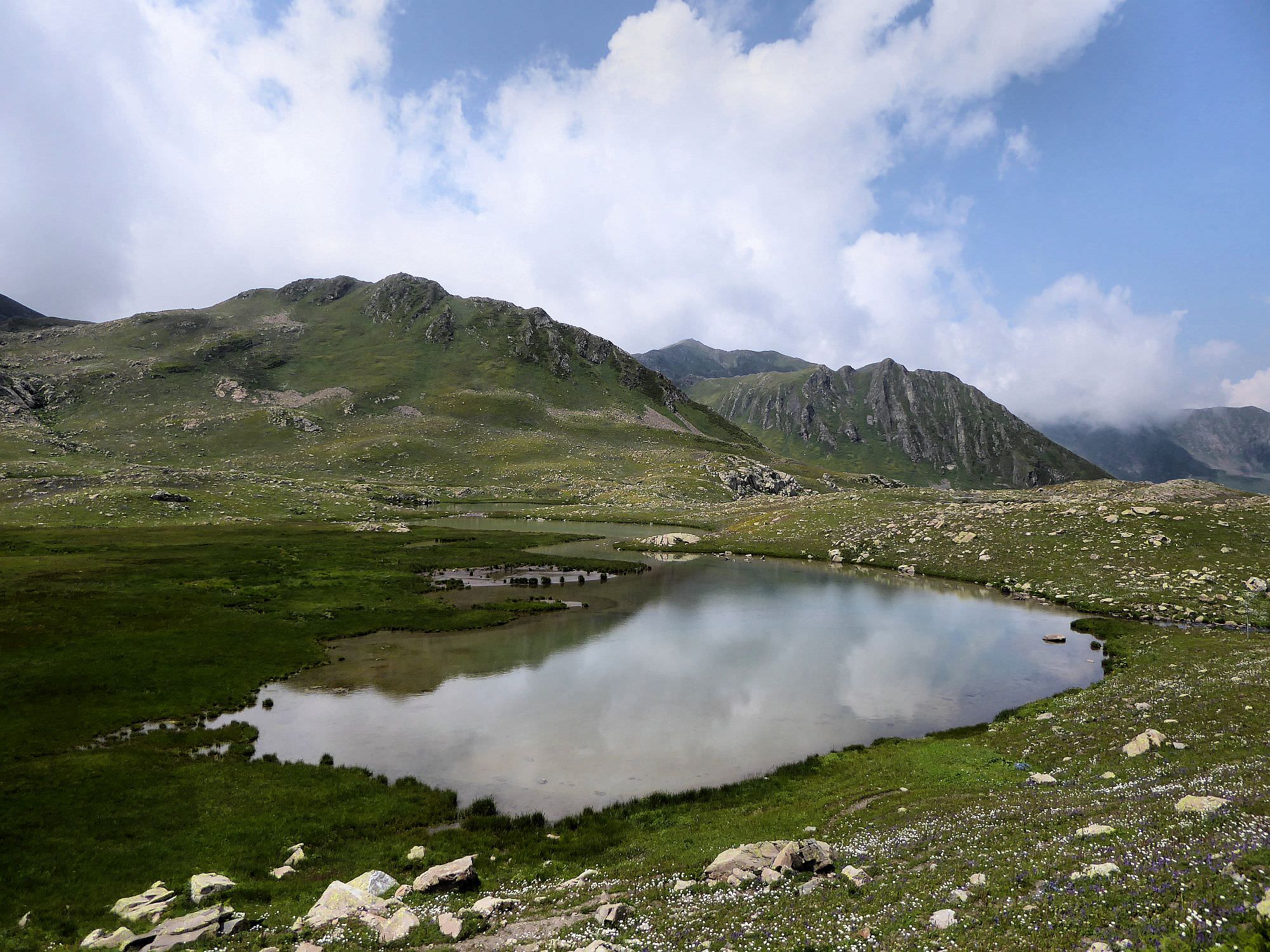
Tbebi plateau lies at the altitude of 2770m. Here, you will find a source of the river - several small lakes. It is also a perfect campsite, flat and grassy.
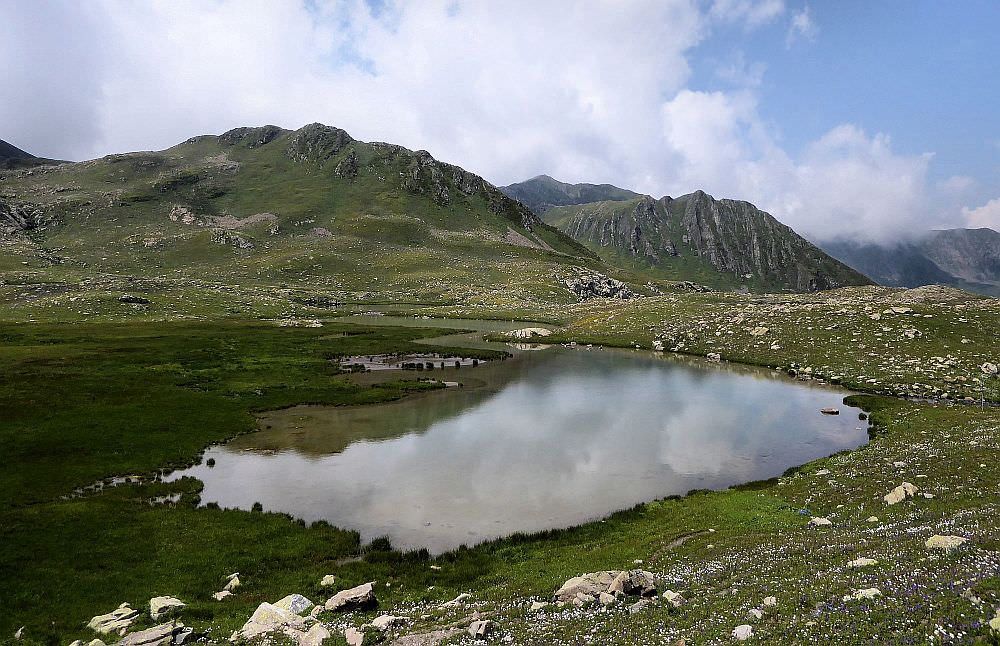
Lakes on Tbebi plateau, right beneath the Kelida pass
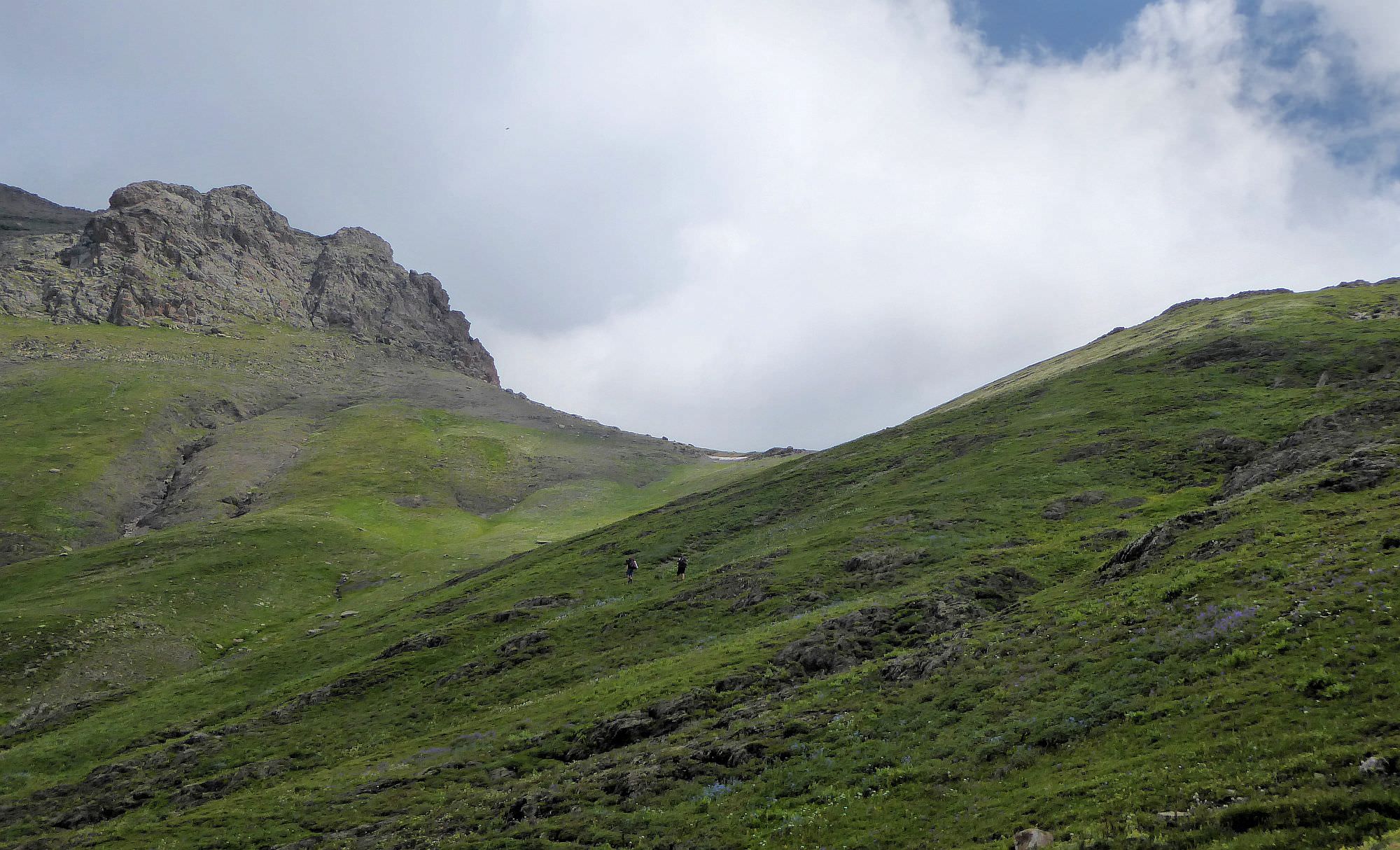
Start the day by climbing the hill to the east from the lakes - it is a steep, tiring ascent with numerous switchbacks. Once at the top, you should see Kelida pass (3036m) ahead - it won't take long to climb to the top.
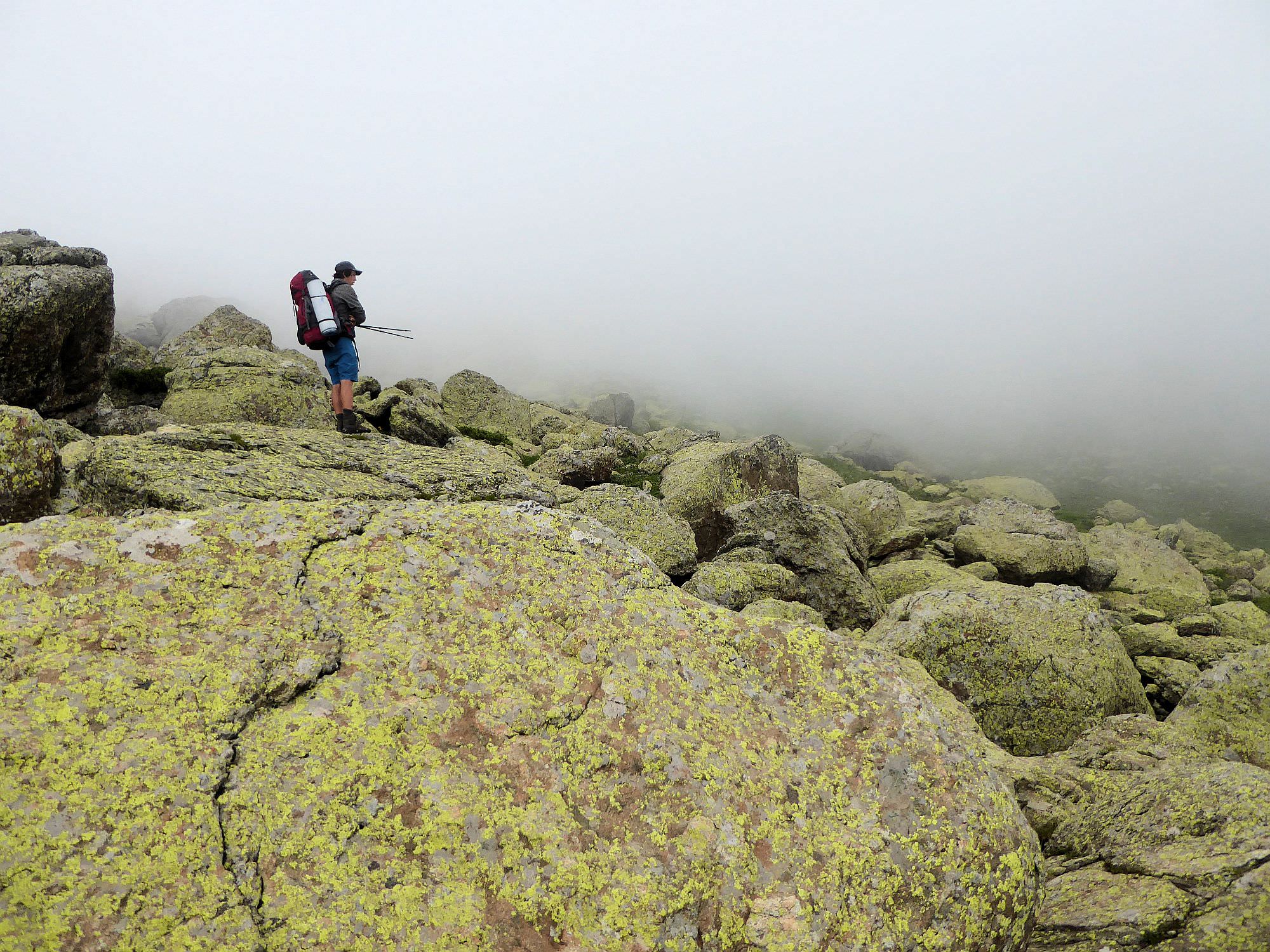
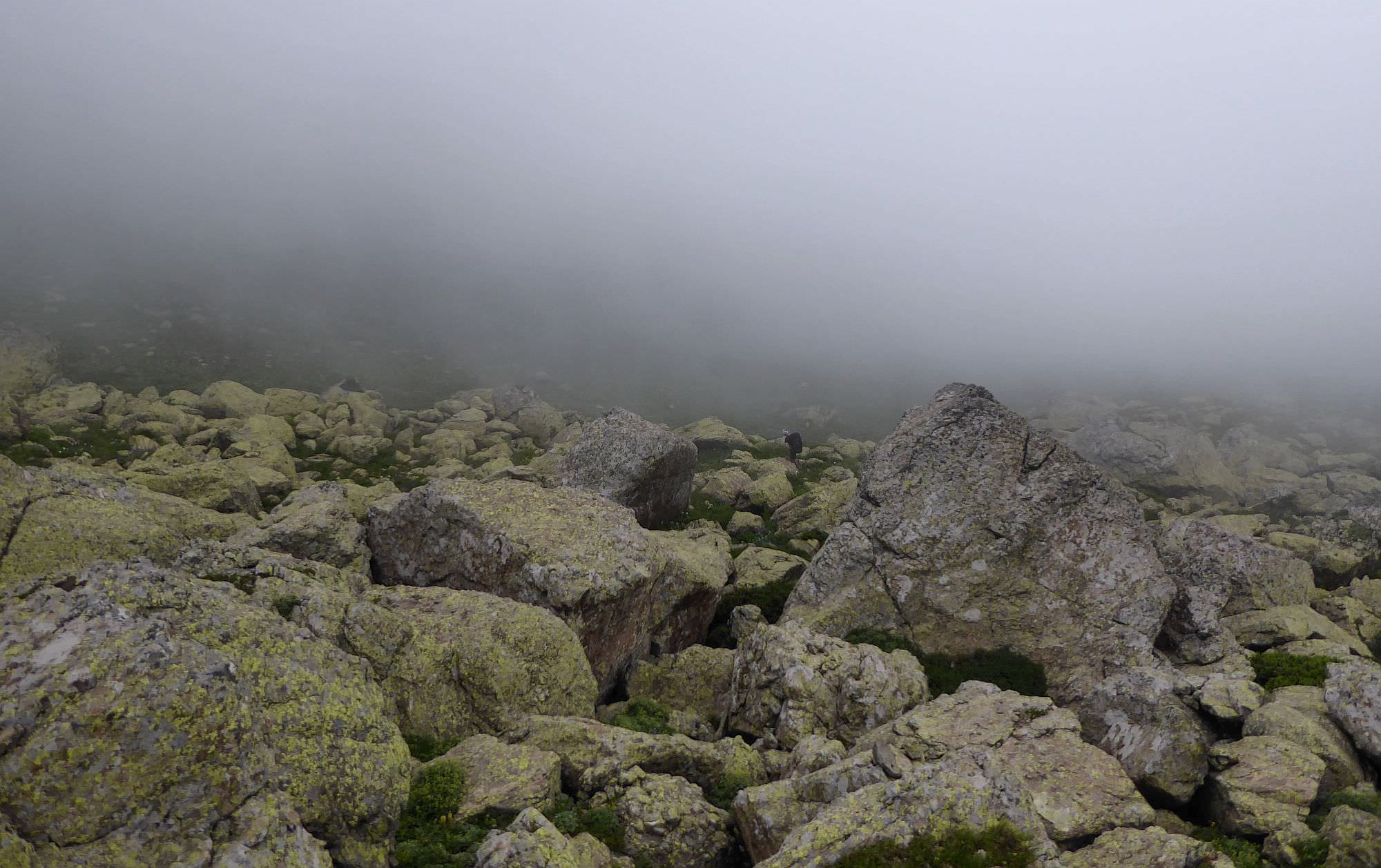
Follow the trail down the other side of the pass. Soon, it will enter a field of huge boulders. I found this to be one of the most entertaining sections of the trek - looking for red-white hiking markers (if you stand by one mark, you should be able to see the next mark) and finding way through the boulder field was a lot of fun.
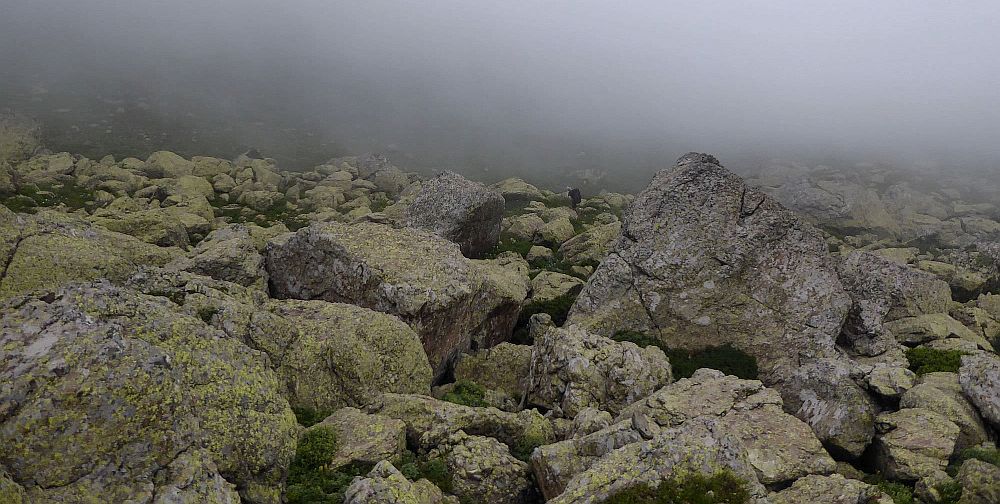
Boulder field at the southern side of the Kelida pass
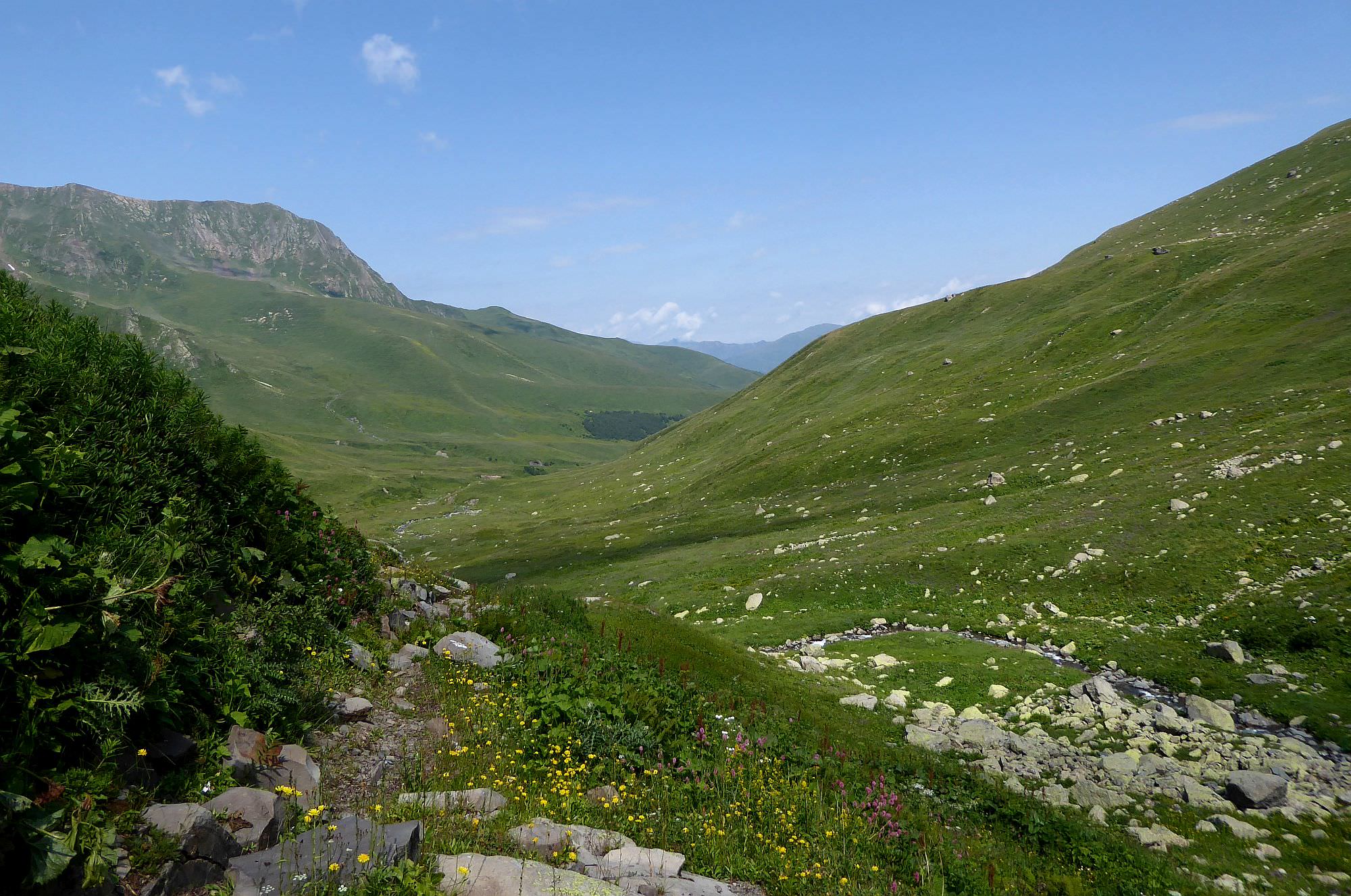
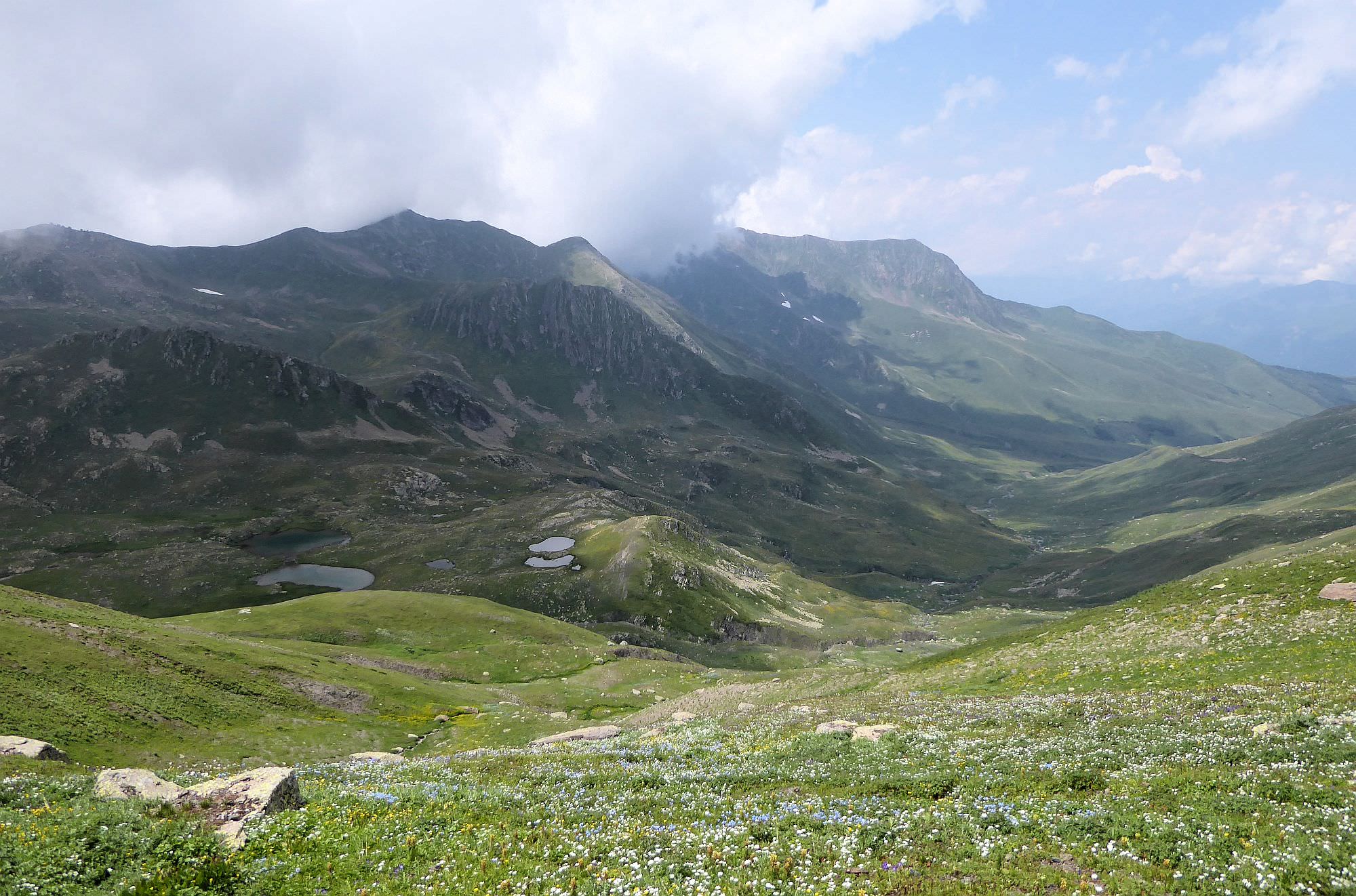
What comes next is much worse - once you get out of the "boulder sea", you need to traverse a steep, overgrown hillside with a non-existent or barely visible trail. Fight your way down the valley till you reach the place where it turns south. Here, the marked route continues over a small ridge to the east and then down to Uravi or Likheti. These trails are legit (would like to map them one day) but we head south. The route is not marked, but it's not a problem - there is nothing to put marks on, anyway.
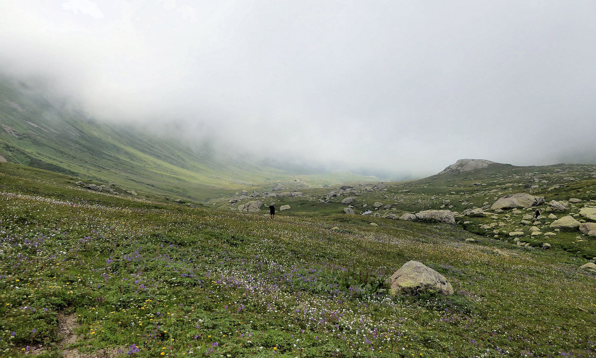
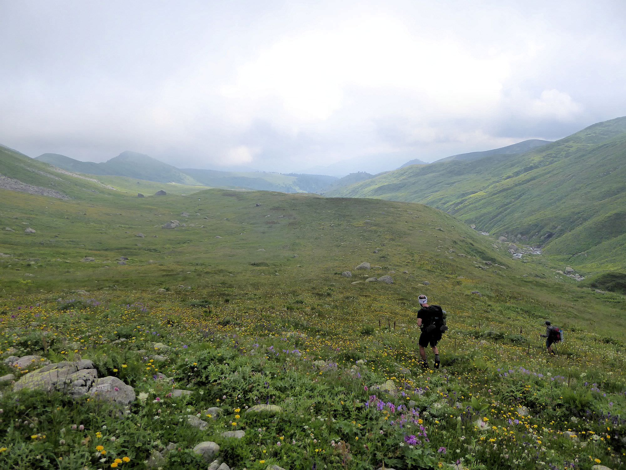
Because what comes next are endless, primeval meadows - it's obvious they were once used by shepherds, but these days, they are mostly overgrown (luckily, mostly by flowers). Trails, if there were any, disappeared long ago so you just need to walk down the valley, following the left bank of Patara Zhrinevi river.
Finally, you will see a ruined wooden hut ahead (and, behind it, an old track cut into the hillside). It´s drowned in stinging nettles so, before reaching it, it´s better to cross a small creek to the left and reach the road by the other bank.
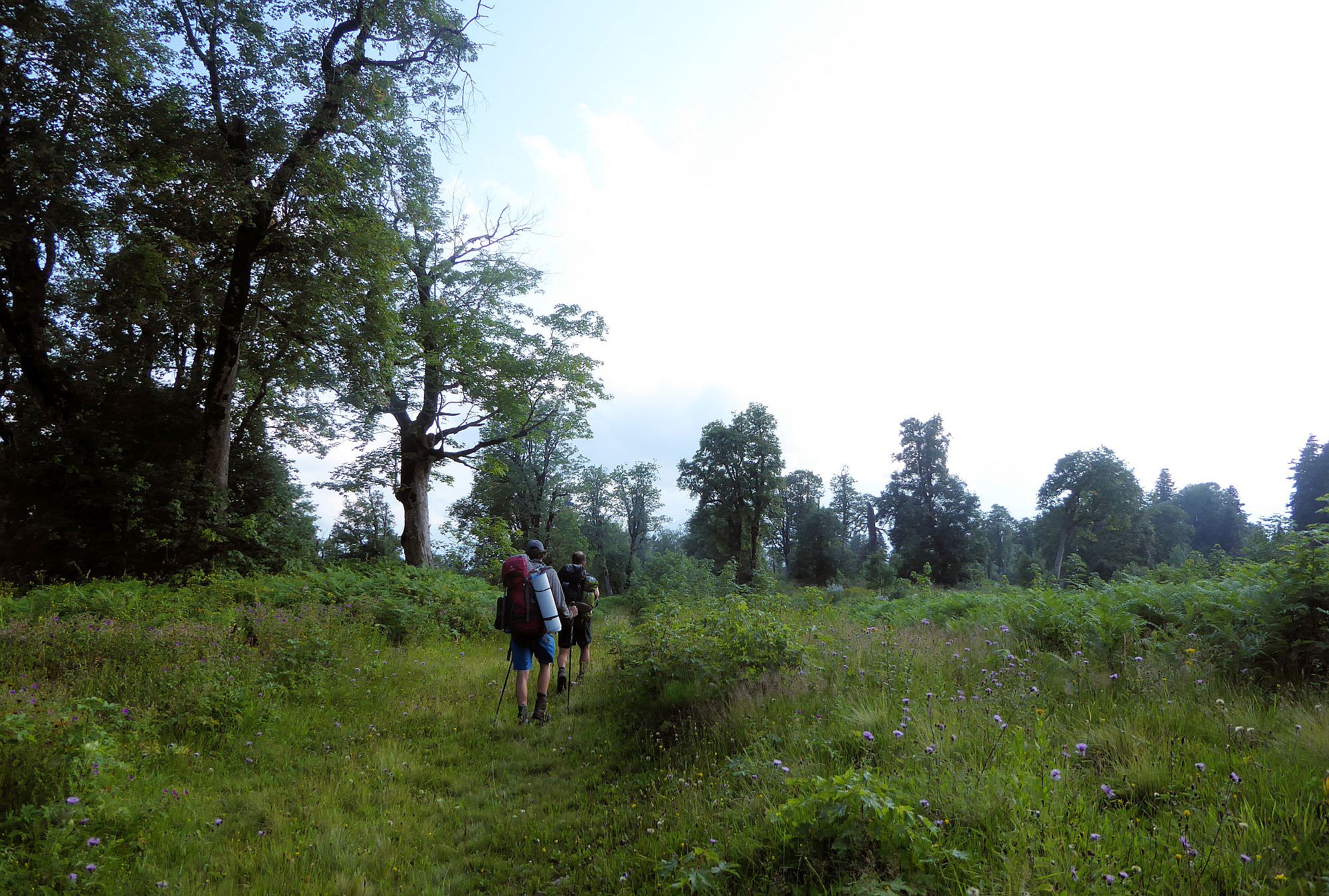
Finally on the dirt road - but you are still at the altitude of 1900m so it´s still a long walk to the civilization. It´s mostly in the forest, but still quite interesting - the road has been unused for many years and it was interesting to observe how Mother Nature is taking it back, piece by piece. You will walk past some smaller waterfalls and need to cross a river twice. Also, be warned - we saw numerous bear footprints, especially at its upper sections.
At the elevation of 1050m, you will reach a major forest junction. Turn left and cross the Zhrinevi river. 500 meters later, the road split - stay left since the right branch ends up in the river. But that won´t save you for long - after another 600 meters, the road crosses the Riseula river anyway. Riseula is a wide and powerful river, crossing on foot might be dangerous, but luckily, it´s not necessary. Look for a small trail that stays on the left bank of the river and eventually widens up into a dirt track.
Soon, you will reach some kind of dam or waterworks. You can cross the river here and rejoin the main road at the right bank. The road is then straightforward - just follow the road through, actually really impressive Riseula gorge. The road crosses to the left bank again via a wooden bridge - at these places, it gets close to the river so if you are not in hurry, it could be a good idea to stop and take a dip.
Then you will walk past some kind of a power plant and, for an umpteenth time this day, cross the river. Not far beyond the last bridge, you will find a hiking marker pointing to "Iashvili tower", just 70 meters away. That´s an outright lie, but you will find at least a nice water spring.
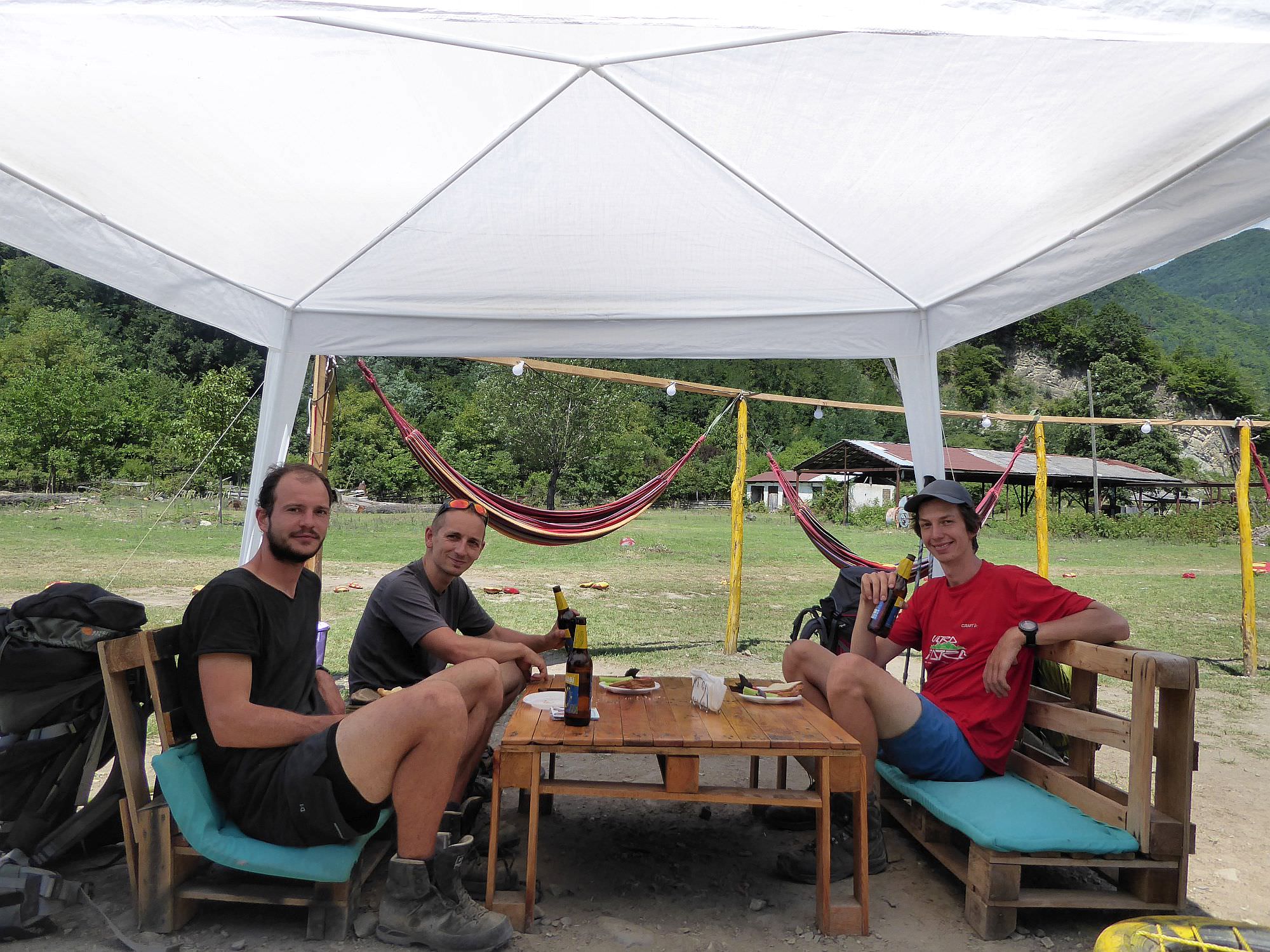
There is not much to say about the rest of the road. Eventually, you will make it to the Sadmeli village. We heard that there is a small market on the other side of the main road, but saw no reason to investigate. There was no need to. From the hiker´s perspective, the place which demands the most attention is the "On the River" bar, situated by the ... river. It´s a perfect place to have a few beers, you certainly deserve them!
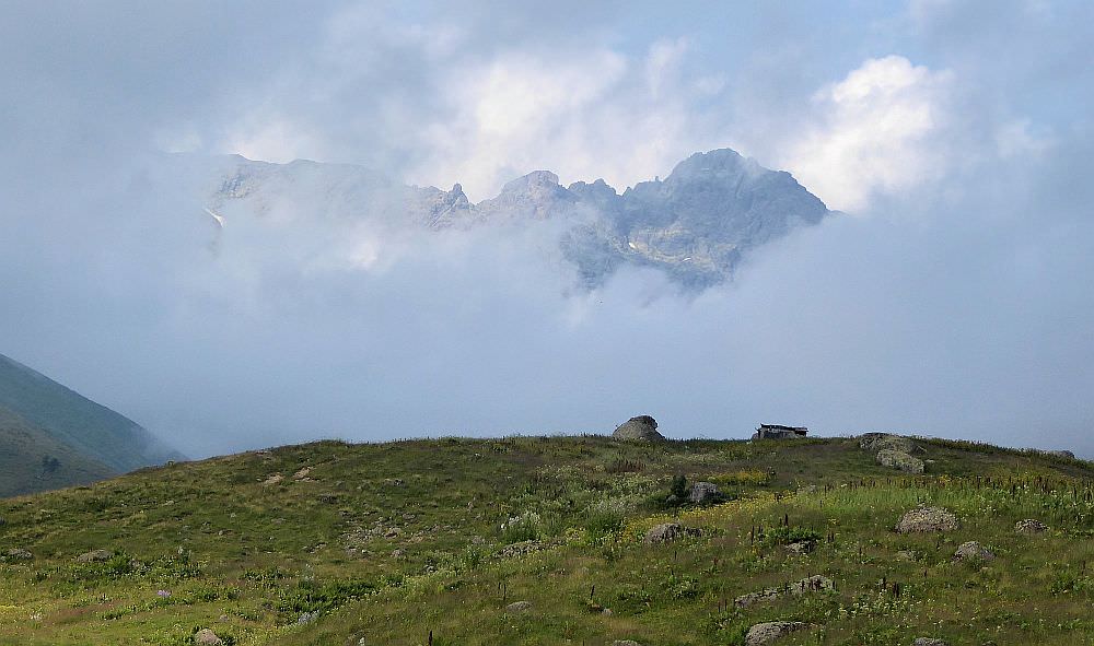
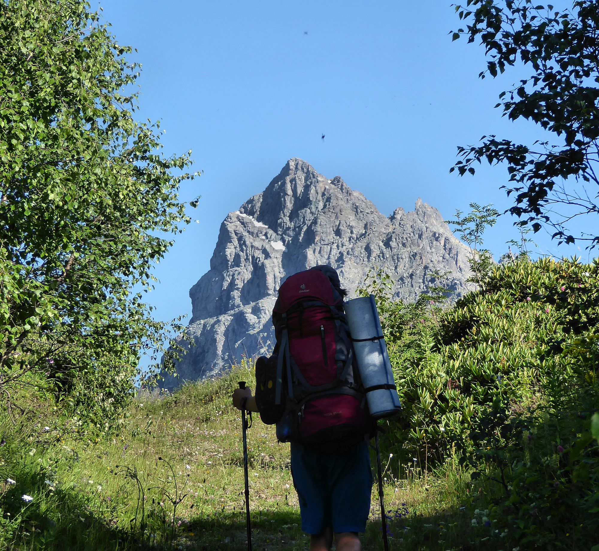
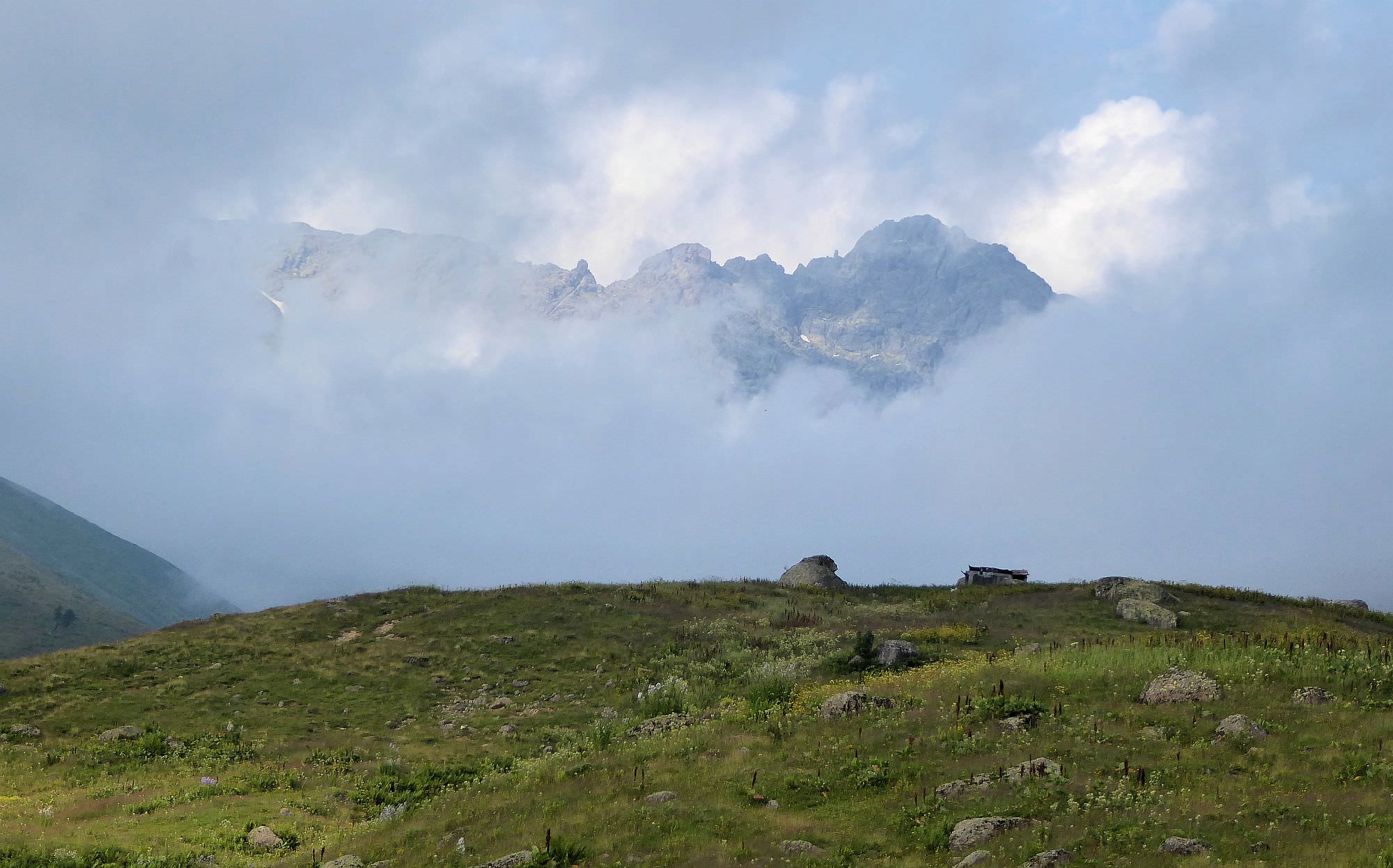
Chutkharo massif
Title photo was contributed by Timothy who was more lucky with the weather than me. Thanks a lot :)