Interesting side trip if you want to prolong your stay by the Tobavarchkhili lake.
This is an ideal side trip if you want to spend extra day camping by Tobavarchkhili lake. You will have an opportunity to see Toba waterfall, explore upper part of the Magana valley,
visit local shepherds and taste their traditional Elarji dish.
This is also the first section of the trail which leads from the lake to villages Jvari, Skuri or Naguru. I am not familiar with these trails, but here you can find
the GPS log for Skuri trek.
It takes 1,5 hours to descend to the shepherd's hut in Magana gorge and another 2,5 hours to climb back to the lake.
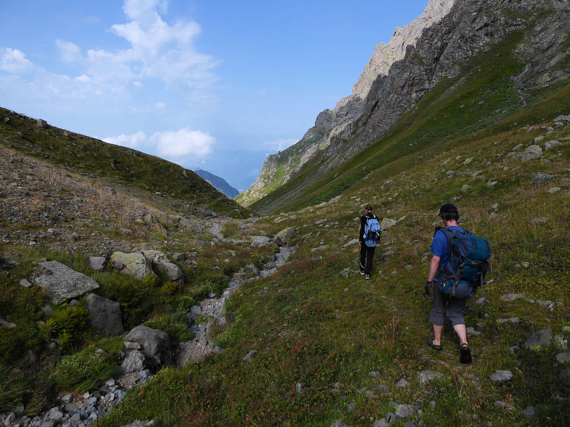
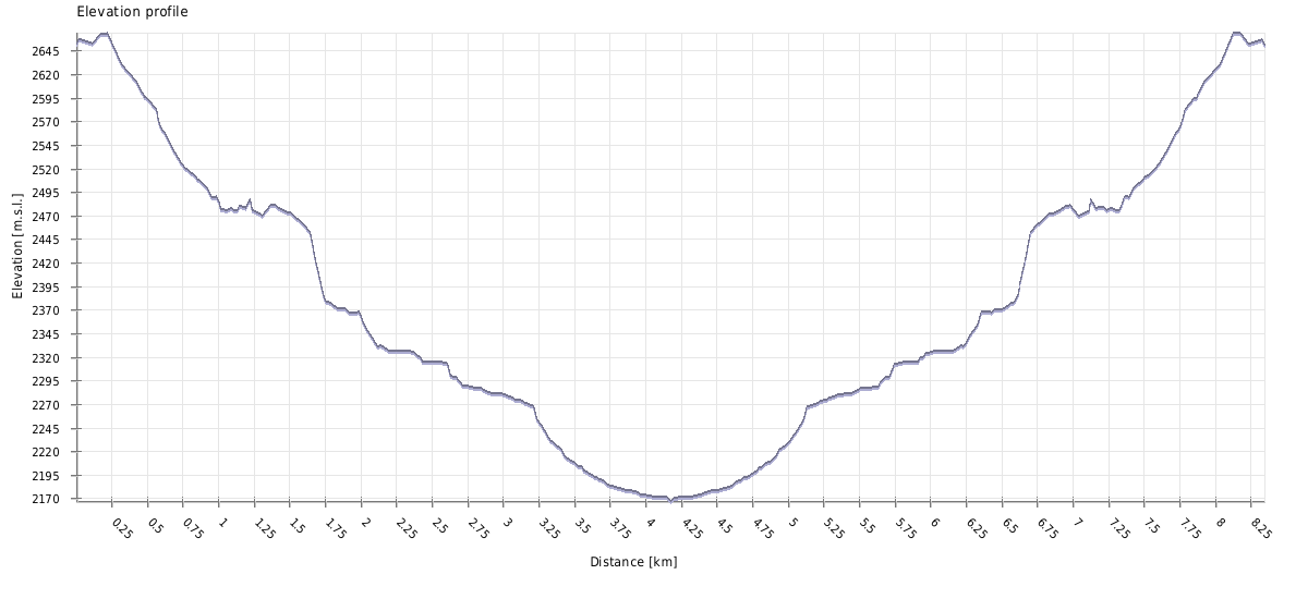
The distance is pretty small, but you will have to descend (and then climb again) 600 elevation meters. The terrain is often quite steep.
Well, you will have to walk. Tobavarchkhili lake can be reached either from Mukhuri, Khaishi or through the Magana gorge. First two variants are described here and if you want to come through Magana gorge, check this GPS log.
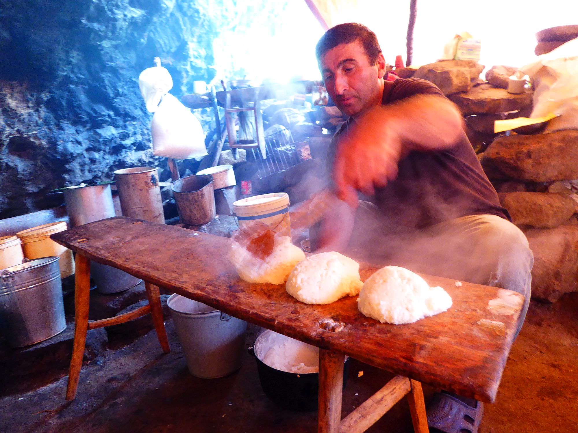
Elarji is a traditional Megrelian food, simple, but tasty and filling.
The one we got at the shepherd's hut was made from two kinds of cornflour, which got boiled in the water and then mixed with cheese.
Interesting was also the way it got served - shepherds poured content on the pot on the wooden bench and cut it there.
| Distance | 8,3 km |
| Trail type: | Roundtrip |
| Max. elevation: | 2664m |
| Min. elevation: | 2168m |
| Total climb: | 550m |
| Total descent: | 5509m |
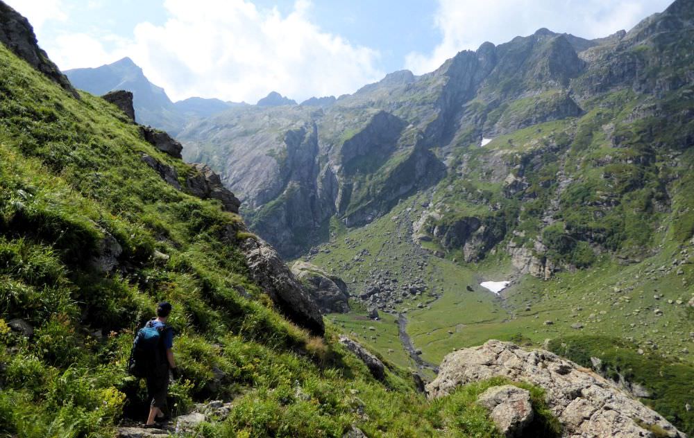
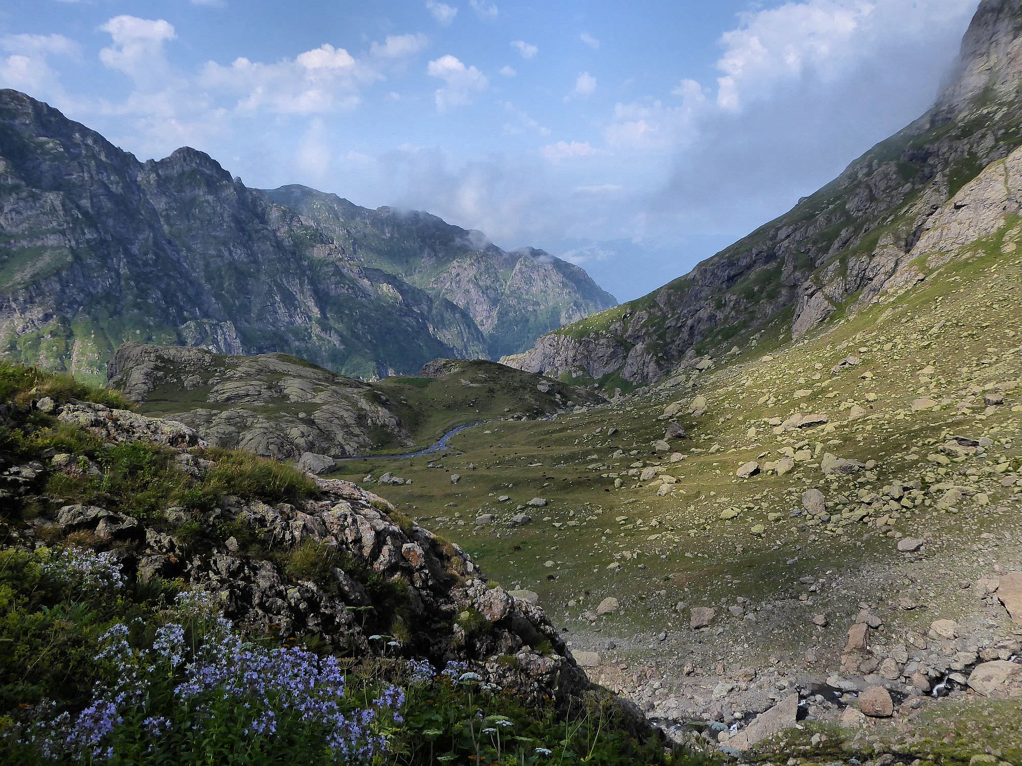
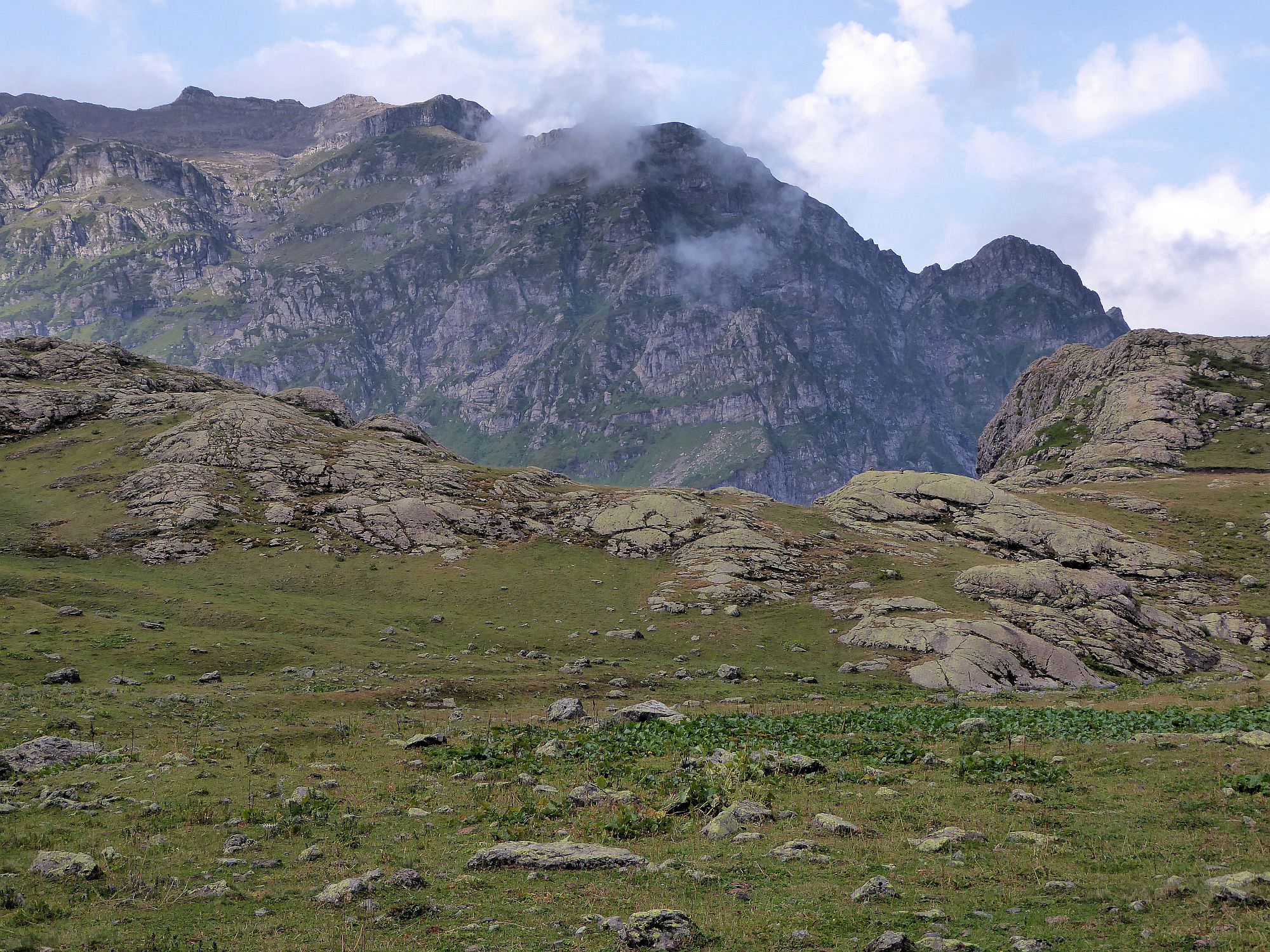
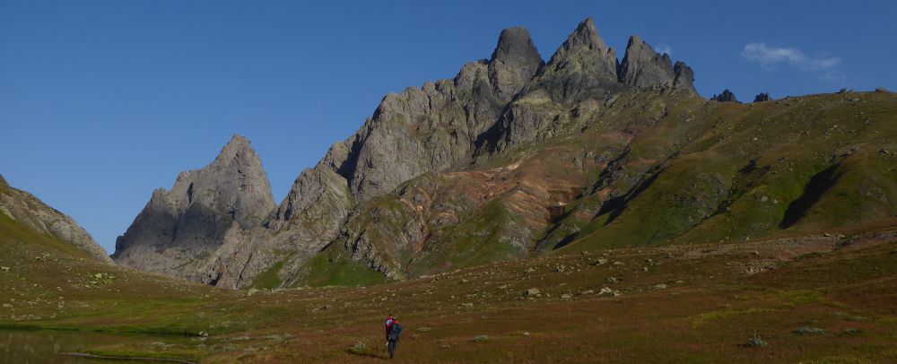
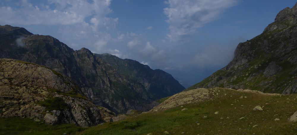
The walk starts at the northern side of the lake. Start walking to the west, soon you will find small stream emerging from below the ground. The trail goes to the left of the stream, slowly descends and bends to the south. You will eventually come quite close to the Nashkhara river flowing out of the Tobavarchkhili lake. Here you need to turn sharply to the right and via steep gorge descent to the rocky plateau. The trail here is very well marked by stone pyramids - I don't know how its possible, but this remote place has probably the best-marked trail in Georgia.
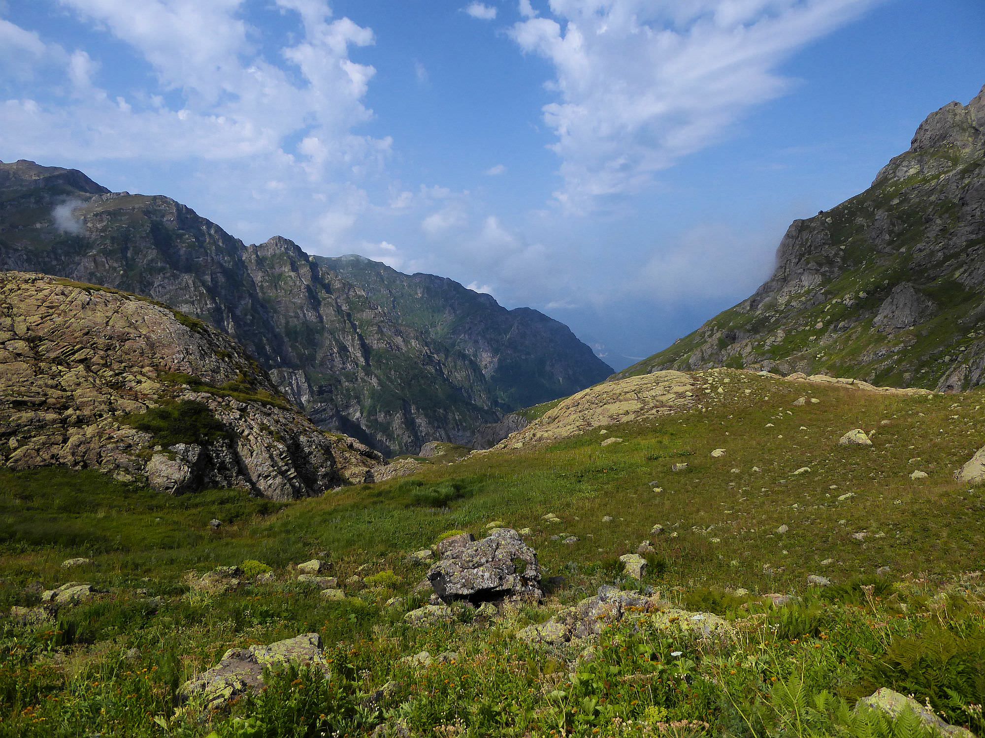
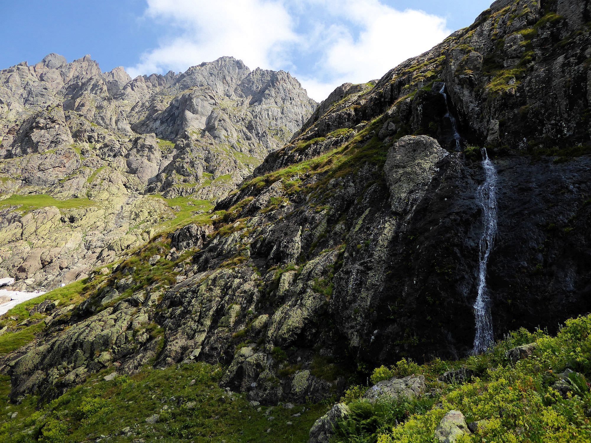
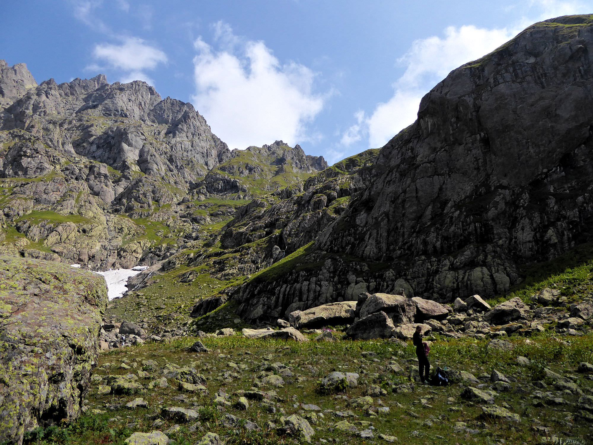
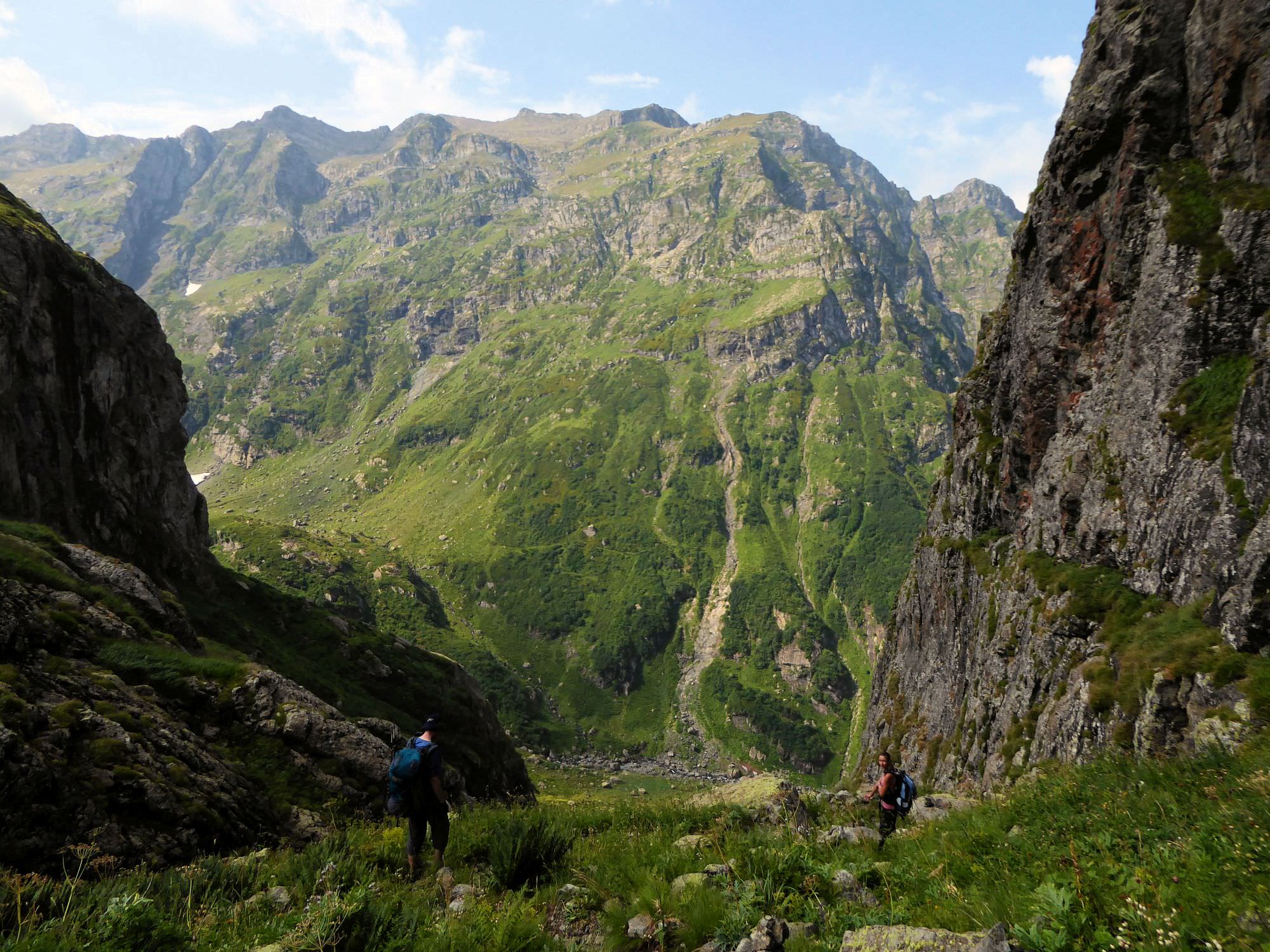
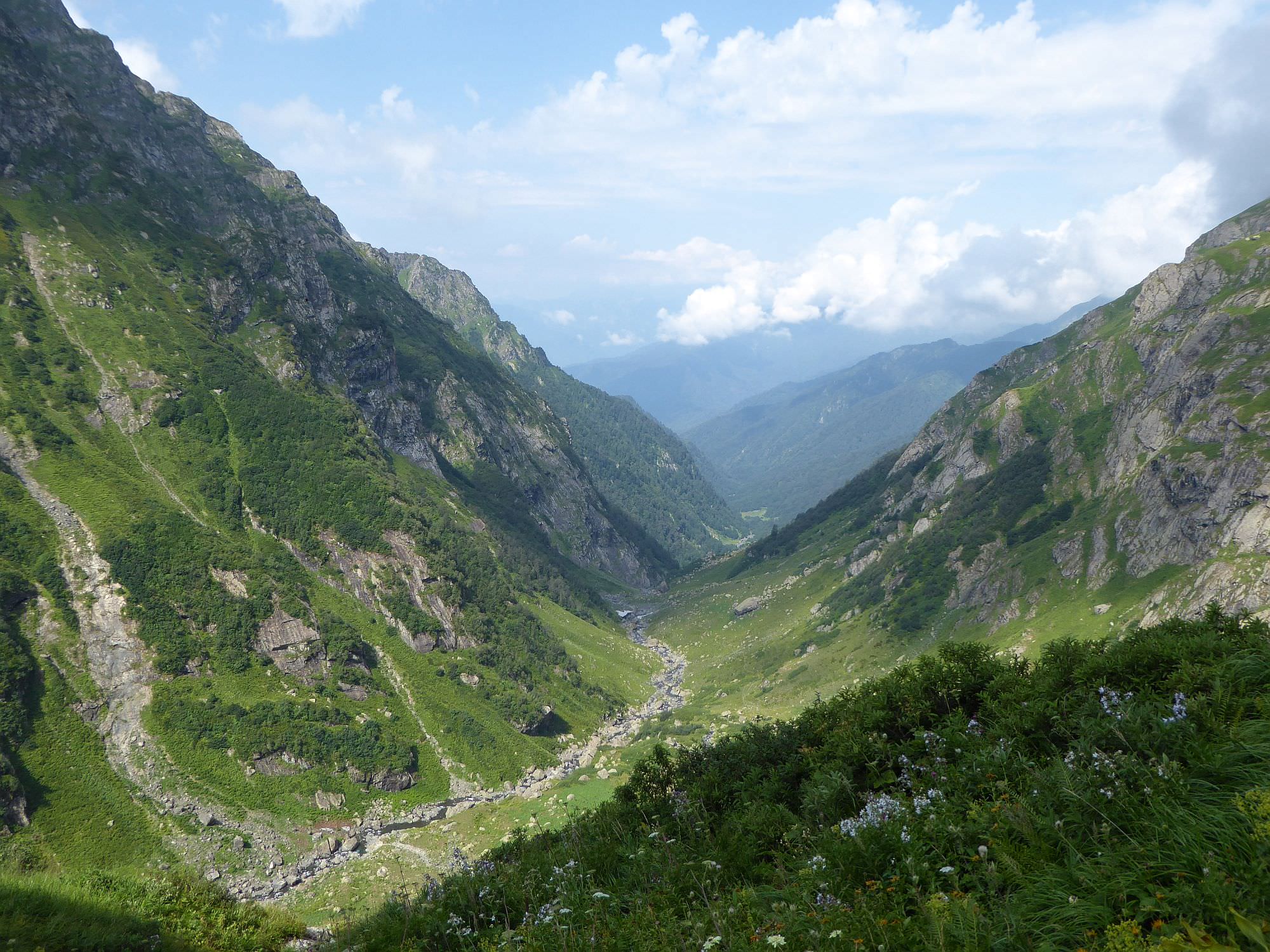
When you make it to the plateau, you see snowfield and small waterfall to the north and big waterfall to the south. Head south and cross Nashkhara river below the waterfall. Walk on the left bank of the river towards the small rocky mound. Then descent into another steep gorge - this one is also well marked.
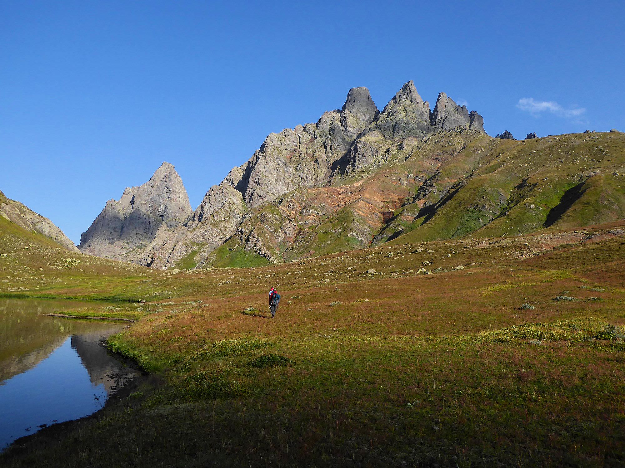
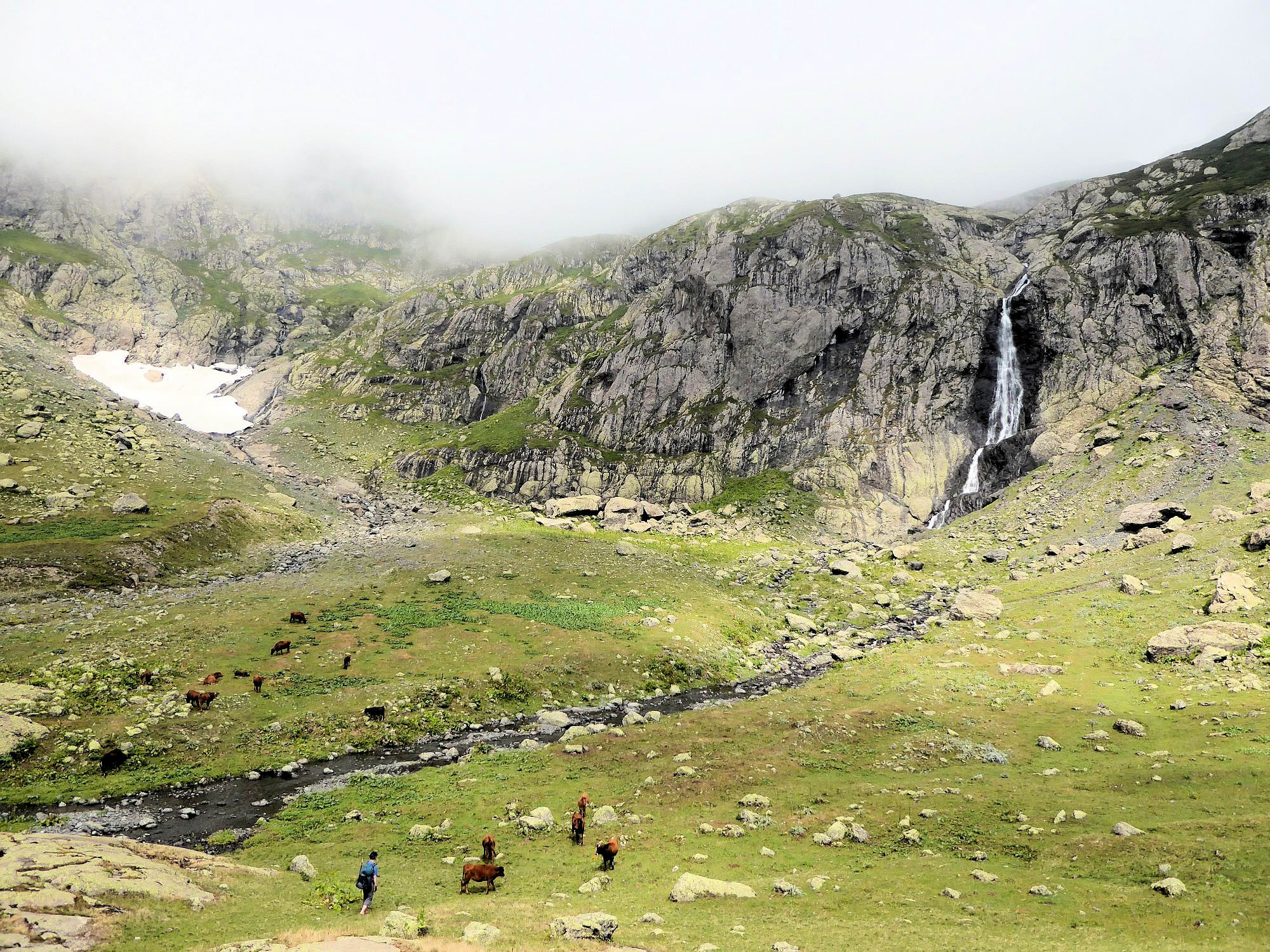
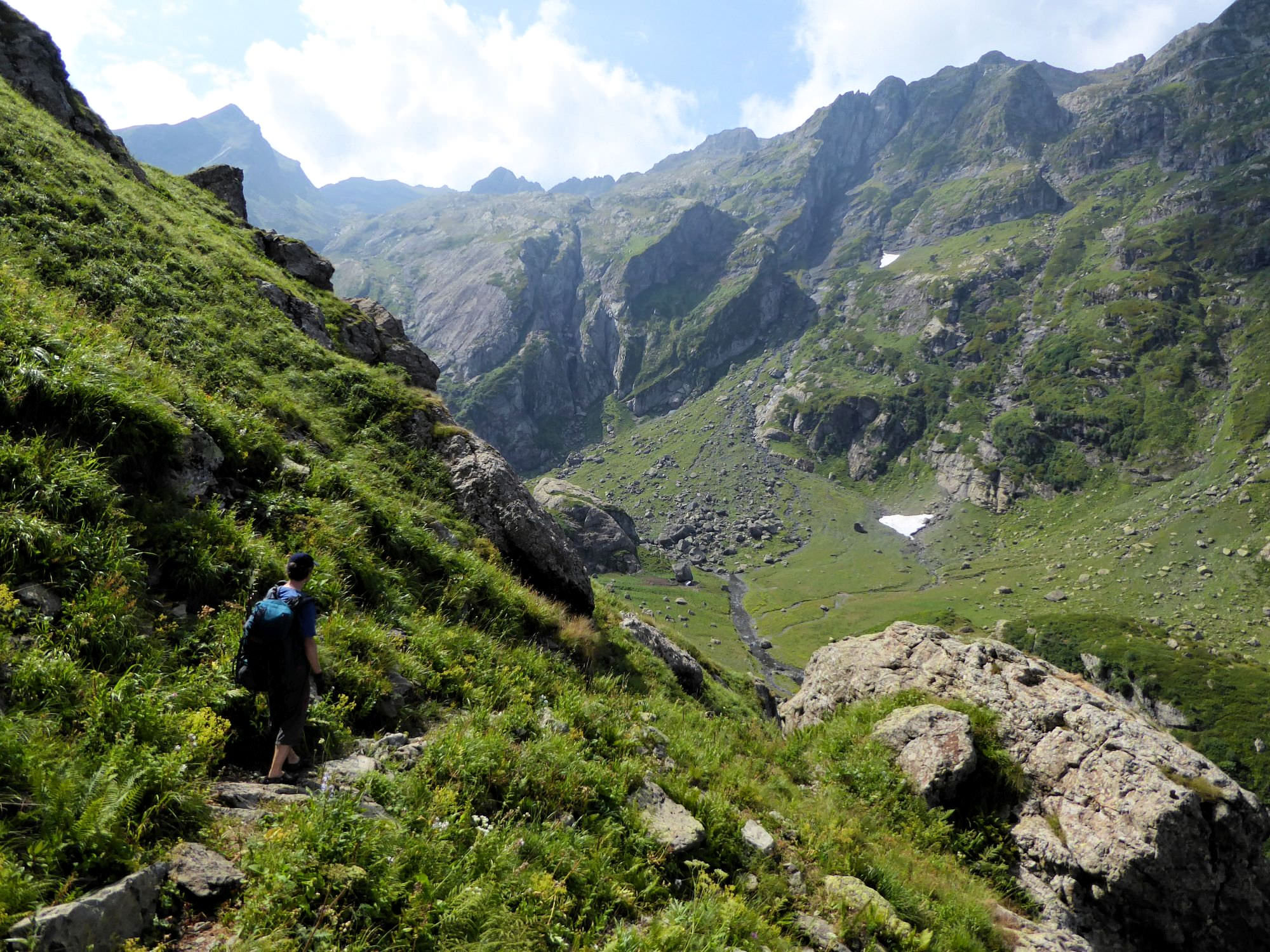
About halfway down the gorge path bends and starts following a contour line to the south. From here you can already see a shepherds hut (also known as Jikiri hut) by the river. Some sections of the trail here are quite exposed, so be careful. It will take some 30 minutes to make it to the hut.
Shepherds of Magana gorge were very hospitable, hosted us with fresh matsoni and cooked us elarji. They refused money in return, but if you want to repay their (hypothetical) kindness, I recommend to bring sweets or vitamins as they have kids up there. And you can also buy cheese from them.