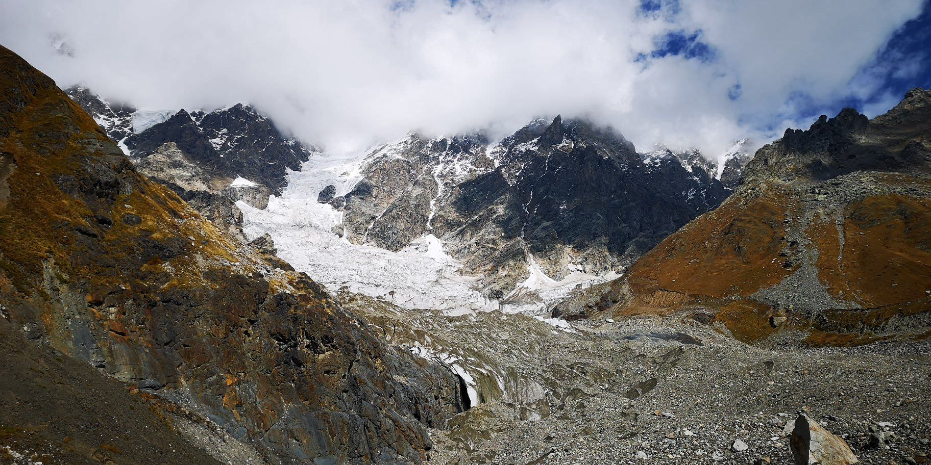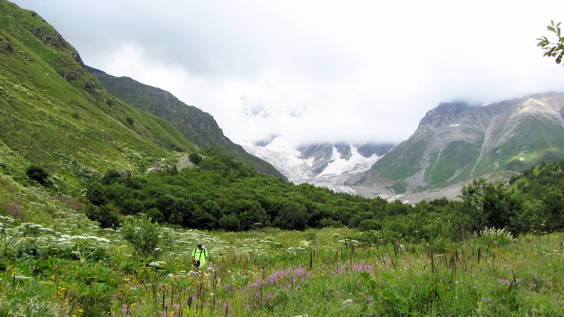

Easy day hike from Ushguli to the foot of Shkhara glacier and springs of Inguri river.
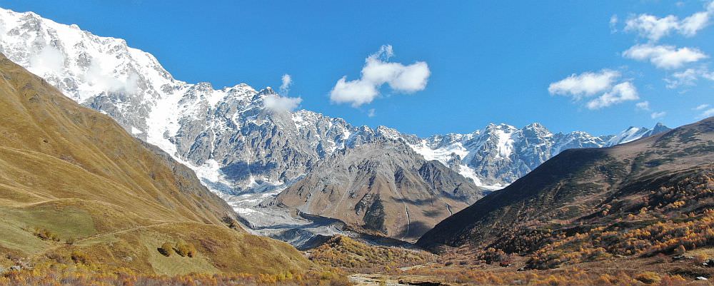
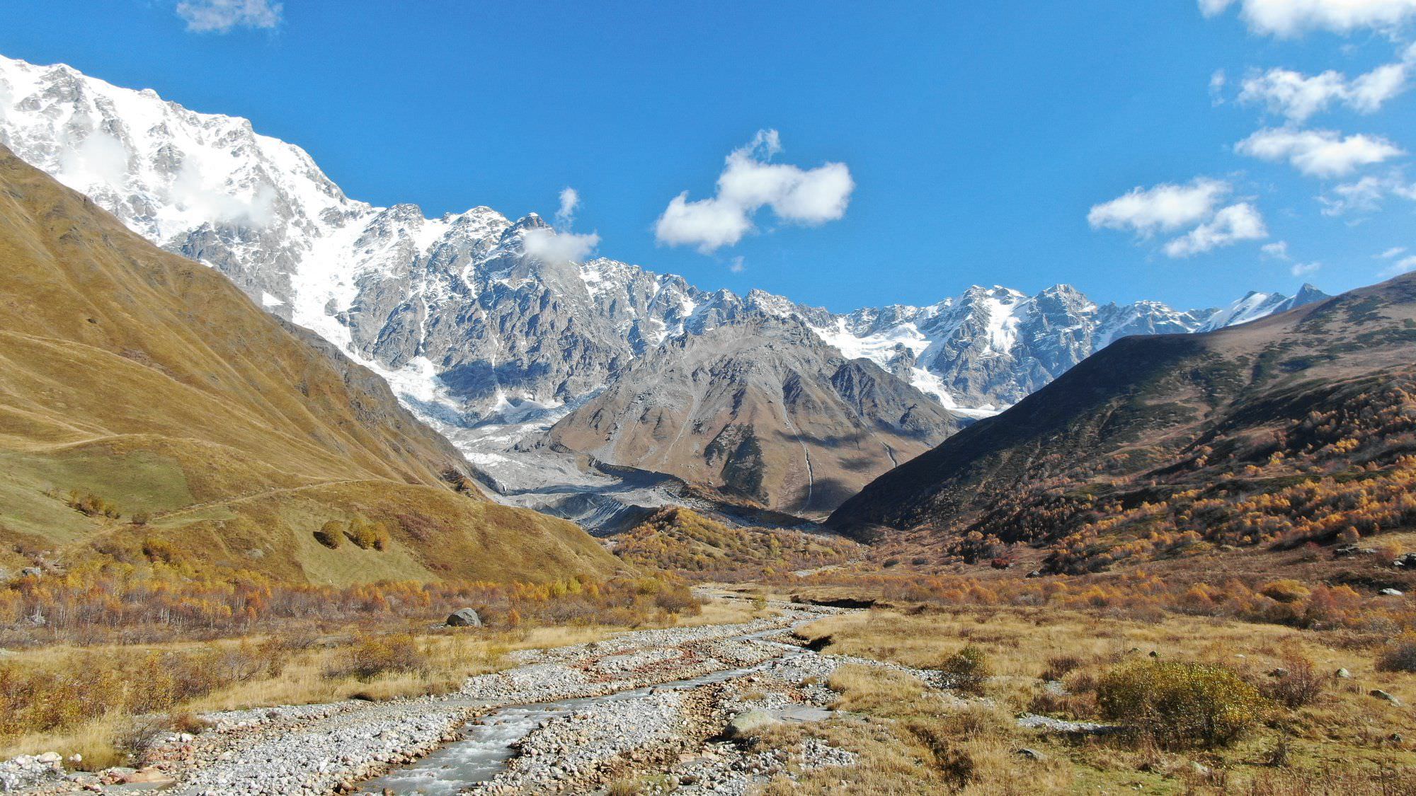
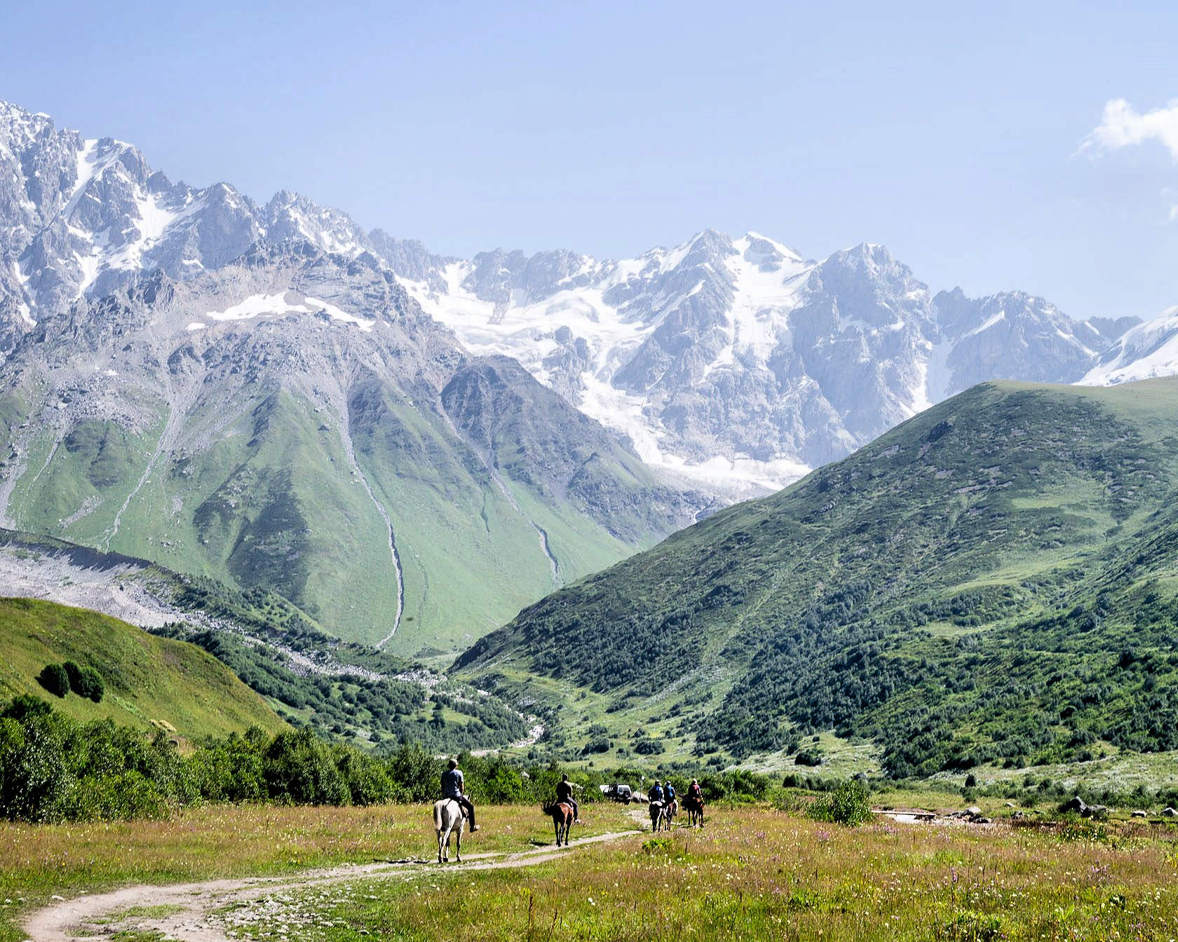
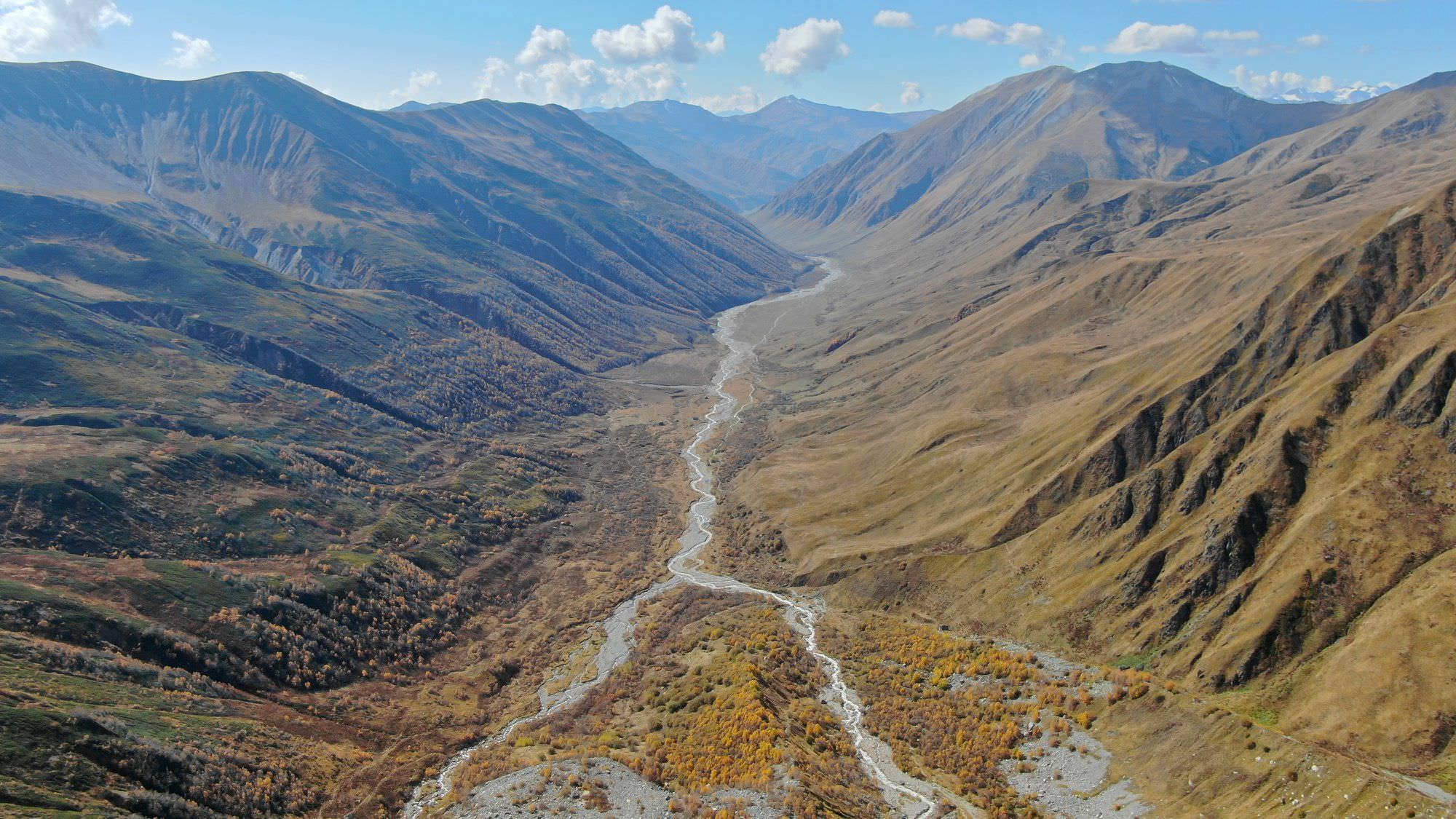
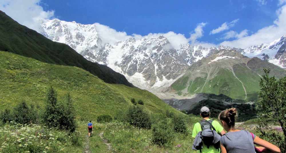
Popular day hike starting in the Ushguli village. Can't say it's too exciting since you are walking mostly on a dirt track at the bottom of the valley but the views of Shkhara mountain are really nice
It takes about five hours to hike to the glacier and return. The length of the hike can be significantly shortened if you take a jeep to drive you deeper into the valley.
No serious climbing, just walking at the bottom of the valley.
Minivans to Ushguli depart daily in the morning from the Seti square. They wait until they are full, the usual price for a ride is 40 GEL.
If you prefer walking, very popular is the 4-day trek from Mestia. Ushguli is also accessible from Lower Svaneti
via Latpari pass or Zagar pass.
If you need to return to Mestia, your best bet used to be minivans making day trips from Mestia to Ushguli. They usually had a few empty seats on the return trip which occured around 3 pm. . However, in the past years, drivers became reluctant to bring hikers back since the Ushguli drivers try to claim all hikers that reached village on foot and other drivers don't want to have problems with locals. So don't rely on these buses too much. So what to do? You can either take a taxi from locals (costs as much as 40 GEL per person) or walk on the road towards Iprali and once the village is out out sight, try to stop some minivan with daytrippers, that should be a bit cheaper.
It's like cab mafia there, we managed to get in a bus for 20 GEL but the cab guys saw it, followed by car, stopped the bus and made us leave it. We kept walking since we didn't want to support this behavior and they even followed us half an hour by car. Later on the gave up and we manged to get another bus.
If you want to prolong your trek, you can cross into Lower Svaneti on foot via Latpari pass or Zagar pass.
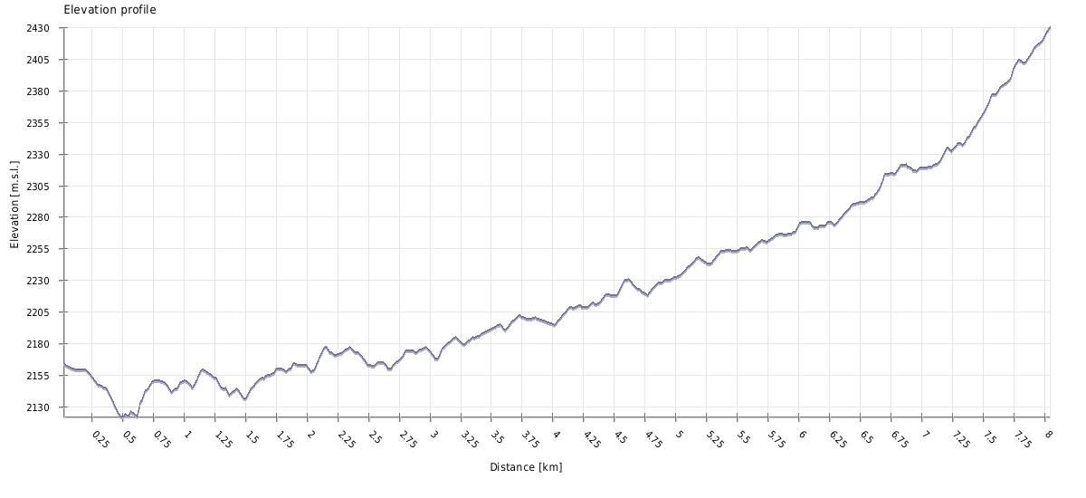
| Distance | 16 km |
| Trail type: | Roundtrip |
| Max. elevation: | 2430m |
| Min. elevation: | 2122m |
| Total climb: | 540m |
| Total descent: | 540m |
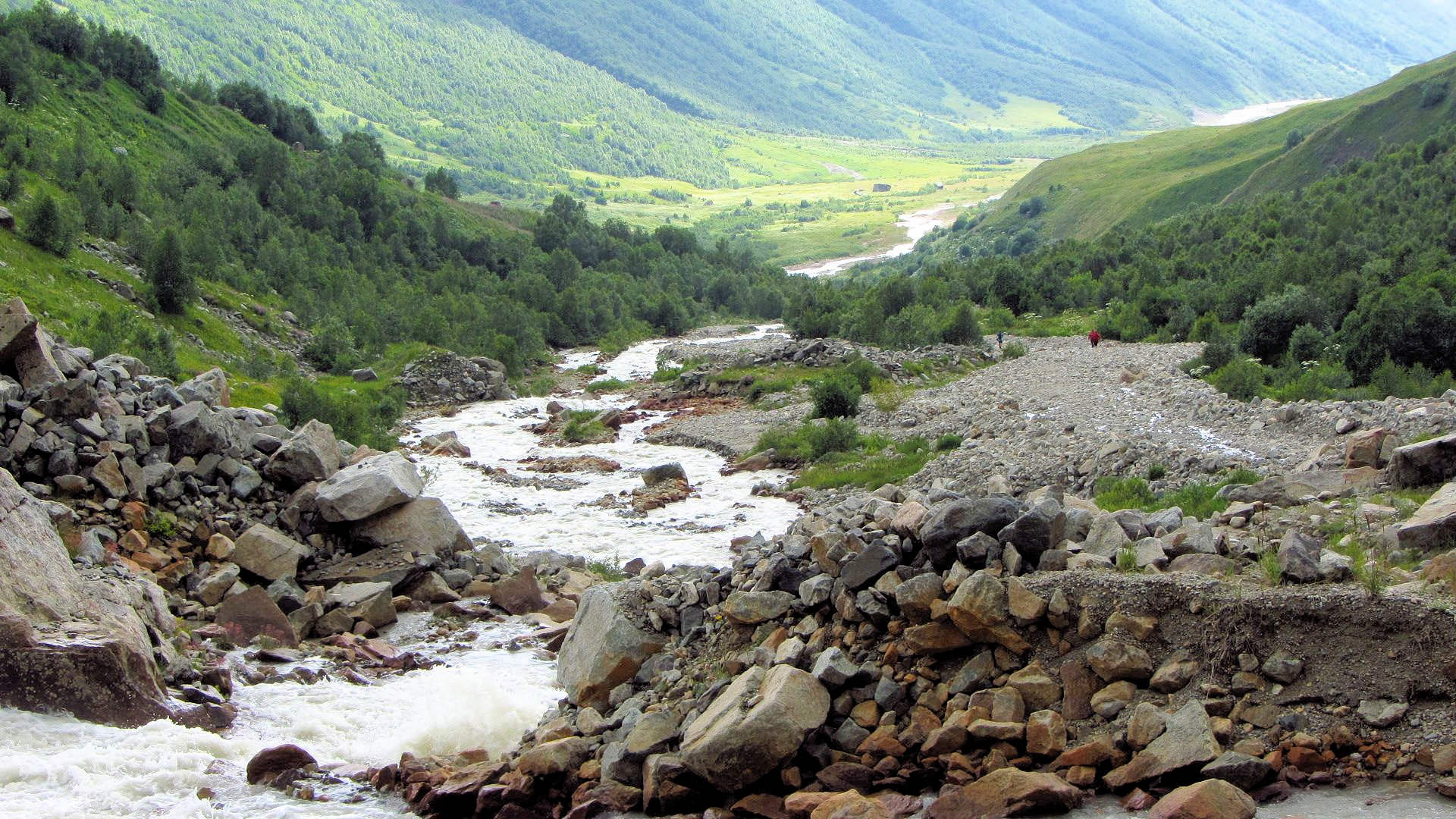
Leave the Ushguli village and keep walking on the jeep road to the north, upstream of the Inguri river and towards main Caucasus ridge. After a while, the valley bends to the northeast and you should see Shkhara glacier in the distance. There is nowhere to get lost, just follow the main road. You will probably have to cross a few small streams.
After less than two hours, you will see a restaurant at the other side of the river, behind a bridge - this is where the trail to Namkuami lake and Vakhushti pass branches off. It's a good place to glab a cold beer, although a bit expensive. Also, this is where jeeps taking tourists into valley park, even if you hired a taxi, from here, you will have to walk on your own.
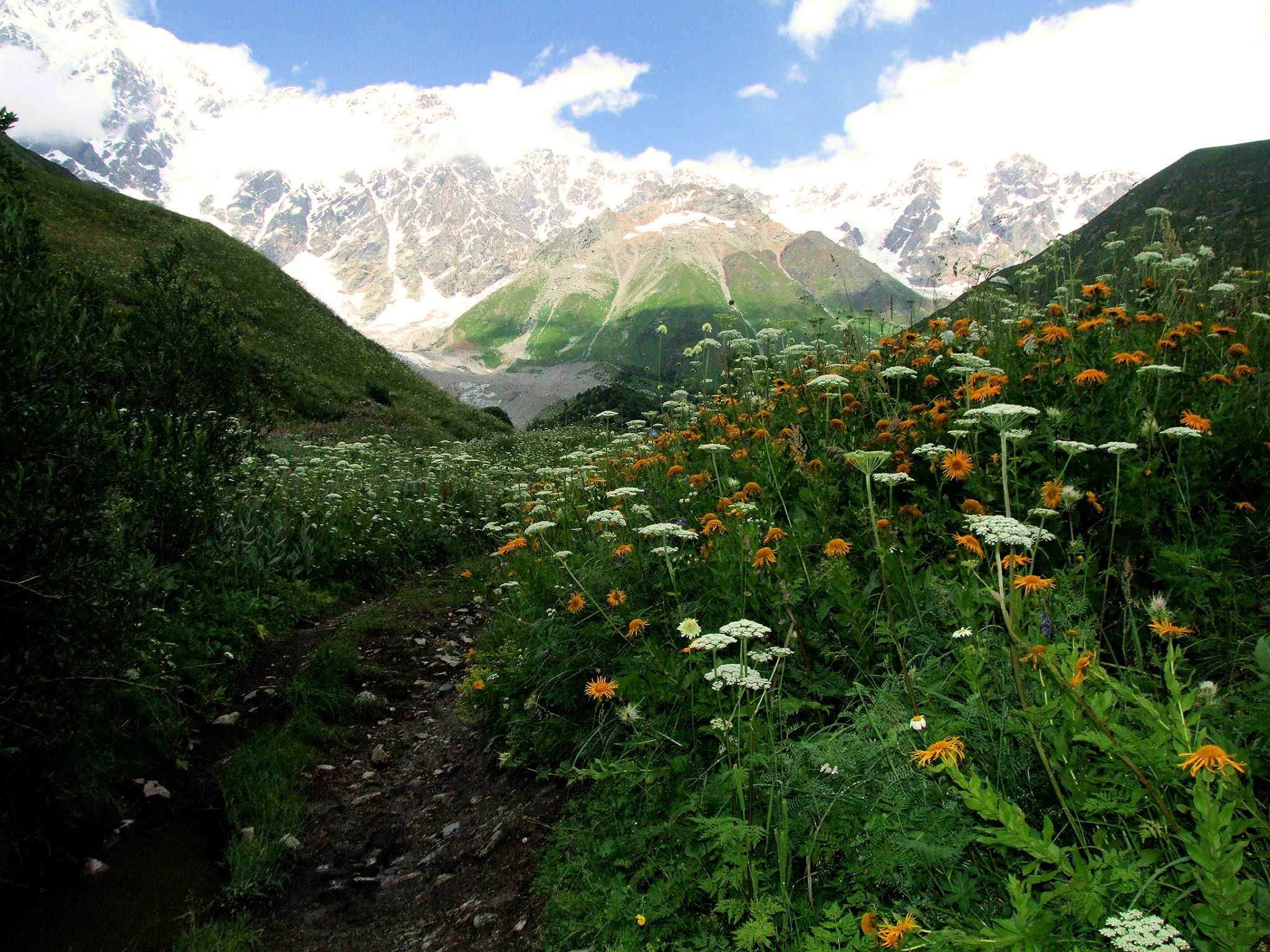
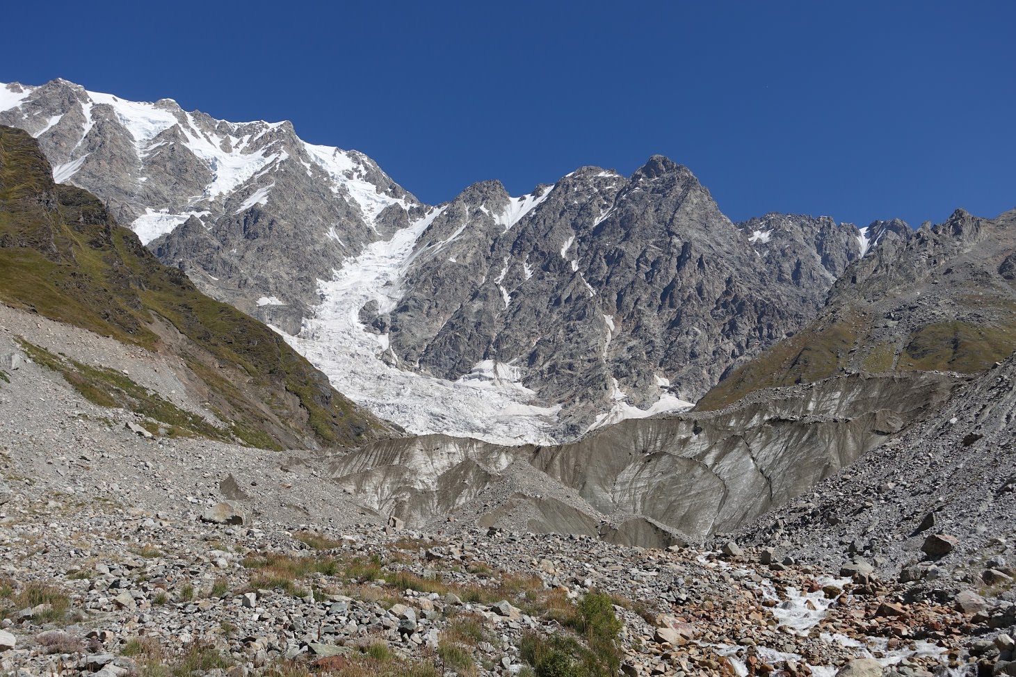
After some 500 meers, the main road sharply bends to the left and in serpentines starts climbing up the hill. Here is a small unmarked trail branching to the right. You need to take it - cross overgrown meadow and field of interesting red rocks. The path then delves into a small forest and emerges from it at the edge of the moraine, just 300 meters from the foot of the glacier.
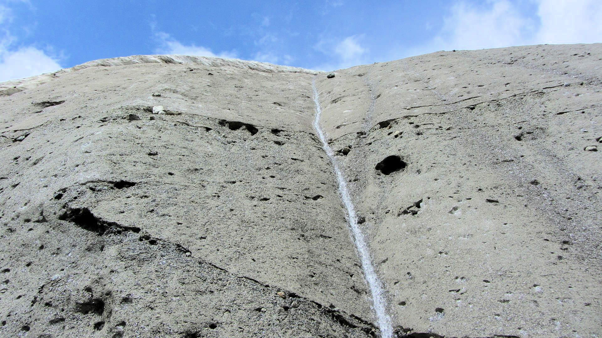
When taking pictures at the foot of the glacier, be aware of falling rocks as they can be quite dangerous. To return, use the same way you came here.
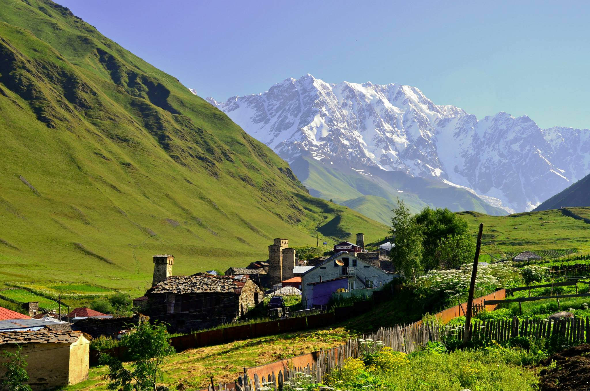
Photo with horses was provided byby Daniel Wakefield Pasley - their article about the hike can be found here. Other photos were provided by Vix Balaz
